Terpeast
-
Posts
6,754 -
Joined
-
Last visited
Content Type
Profiles
Blogs
Forums
American Weather
Media Demo
Store
Gallery
Everything posted by Terpeast
-
I like that
-
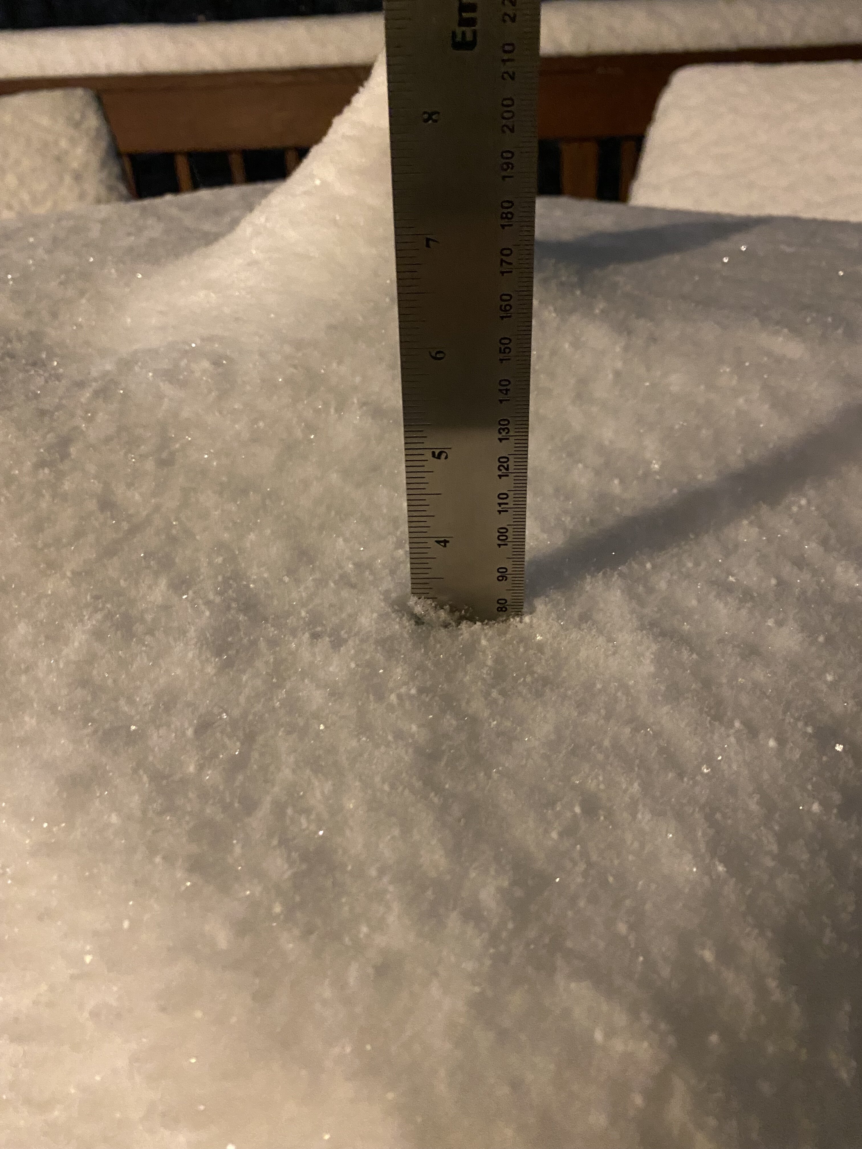
Just went out to get an exact measurement and got at least 3.3” freezing drizzle mixed with pixie dust
-
Last I measured 3” but that was about half an hour ago
-
Light pixie dust under one of those subsidence areas
-
Stopped here, just a few light flakes for now. Think its temporary before things start up again
-
Radar over KY/WV looks juicy. Upper level stuff must be good
-
Checked that, definitely some back building along and just south of 66
-
Light snow, small flakes. Ratios probably high
-
Oh snap!
-
And seeing some light returns SW of front royal too
-
Yep. It’s going to be close for me though
-
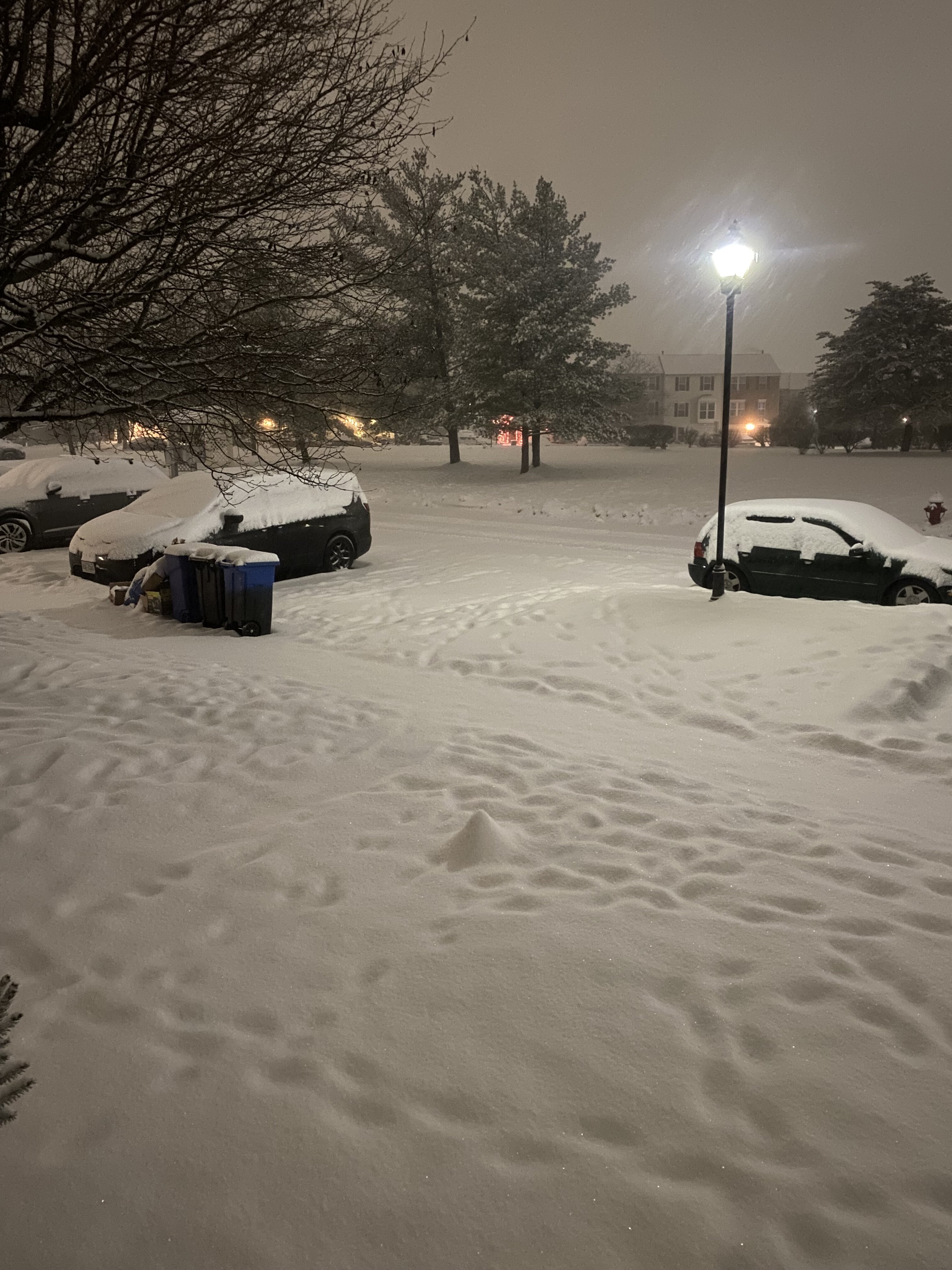
Roads haven’t caved in Georgetown yet
-
Smaller flakes now, but coming down at a decent clip
-
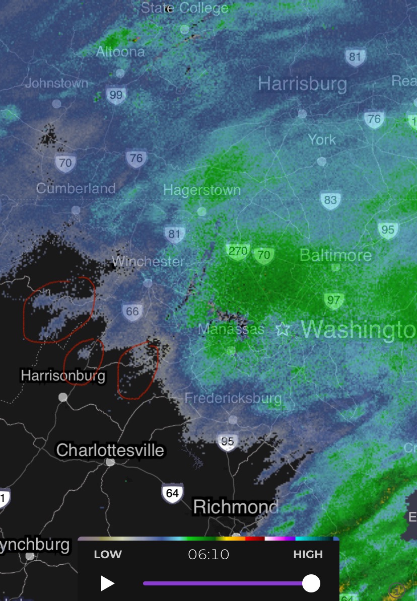
Signs of back building
-
Saw that. I’d like that to be a bit further south so I can catch the pivot
-
Intensity hasn’t let up here yet, but based on radar it may do that soon
-
Hope it pivots over DC metro, but HRRR does that just NE into balt and delmarva
-
Didn’t realize we got upgraded, that’s two upgrades in one week. Don’t remember that happening any other time in my life
-
Looks like I’ve been getting pummelled for at least 2 hours per radar
-
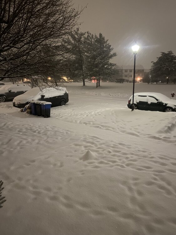
Woke up to this. Heavy snow, 25. Eyeballing it looks like 2” give for take will measure later
-
Nice, should be a great event out there for you. I considered a trip up that way again this year but that was before Monday’s event. 29/21 down here in ashburn, nothing reaching the ground yet. Sfc temp has been slow to fall, so the column is gonna need some work. Hopefully that lead wave does that prep work before the main show
-
Where? Alexandria or Mchenry?
-
Seems they’re laying down advance reasoning why they don’t intend to upgrade to a warning. At least it’s not a step back from a general 2-4” dc north and 1-3” south
-
Looks like 2-4 area wide with locally 5"+ northern MD and delmarva/NEward