
SethToast
-
Posts
177 -
Joined
-
Last visited
About SethToast

Recent Profile Visitors
9,827 profile views


-
Anything coming out from the one that just passed over Toluca?
-
Pretty quiet here, maybe 2-3" so far
-
Ok fork-head
-
doorbell couch
-

Fall/Winter '24 Banter and Complaints Go Here
SethToast replied to IWXwx's topic in Lakes/Ohio Valley
Keeweenaw's been pretty good, at least compared to the dumpster fire's of the past 2 years. Basically no synoptic all winter (except for late December rain of course), just semi-daily 1-4" for the past month but overall can't complain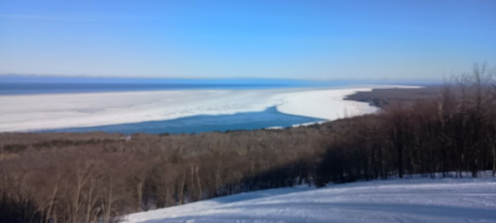
-
Fall/Winter '24 Banter and Complaints Go Here
SethToast replied to IWXwx's topic in Lakes/Ohio Valley
Is it on any other website that doesn't require a subscription? -
Are any seasonal models even showing warm N plains beyond mid-December?
-
Is there a way to see individual runs? I'm curious as to if the results on the TT site is just because of noise or if there's been a consistent increase.
-
Is TJ cumulative or is TJ's per hour or other unit of time? The wikipedia entry says that Hiroshima released 63 TJ. I was under the impression that hurricanes released several orders of magnitudes more energy than nuclear weapons
-
I mean all the traffic is going inland or north,and it's congested well outside the cities
-
You can still physically get into the city from the south via I-26, although technically entirety of Western Northern Carolina roads are closed for "non-emergency" purposes. Asheville roads only look closed on google maps because google maps gets it's traffic data from cell phones, which aren't working right now because all of the towers are inoperational. https://apnews.com/article/hurricane-helene-asheville-flooding-north-carolina-tennessee-078a298cdcaaf46749f3f6683a4e1057
-
Various sections between Asheville and Marion, NC https://drivenc.gov/
-
https://prism.oregonstate.edu/ PRISM is a project that provides files for monthly temperature and precipitation at a given point, however it's limited to the U.S., Western Canada, a few other select regions. Anyone know of a similar source of data that contains more regions or covers the entire world?
-
SethToast changed their profile photo
-
Winter 2023/24 Medium/Long Range Discussion
SethToast replied to Chicago Storm's topic in Lakes/Ohio Valley
How is this dude able to make 10 alt accounts in the time it took me to make one -
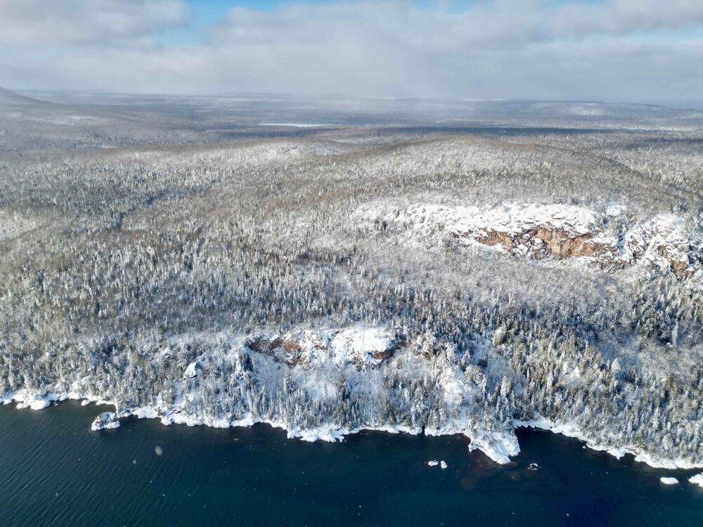
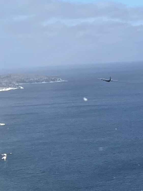
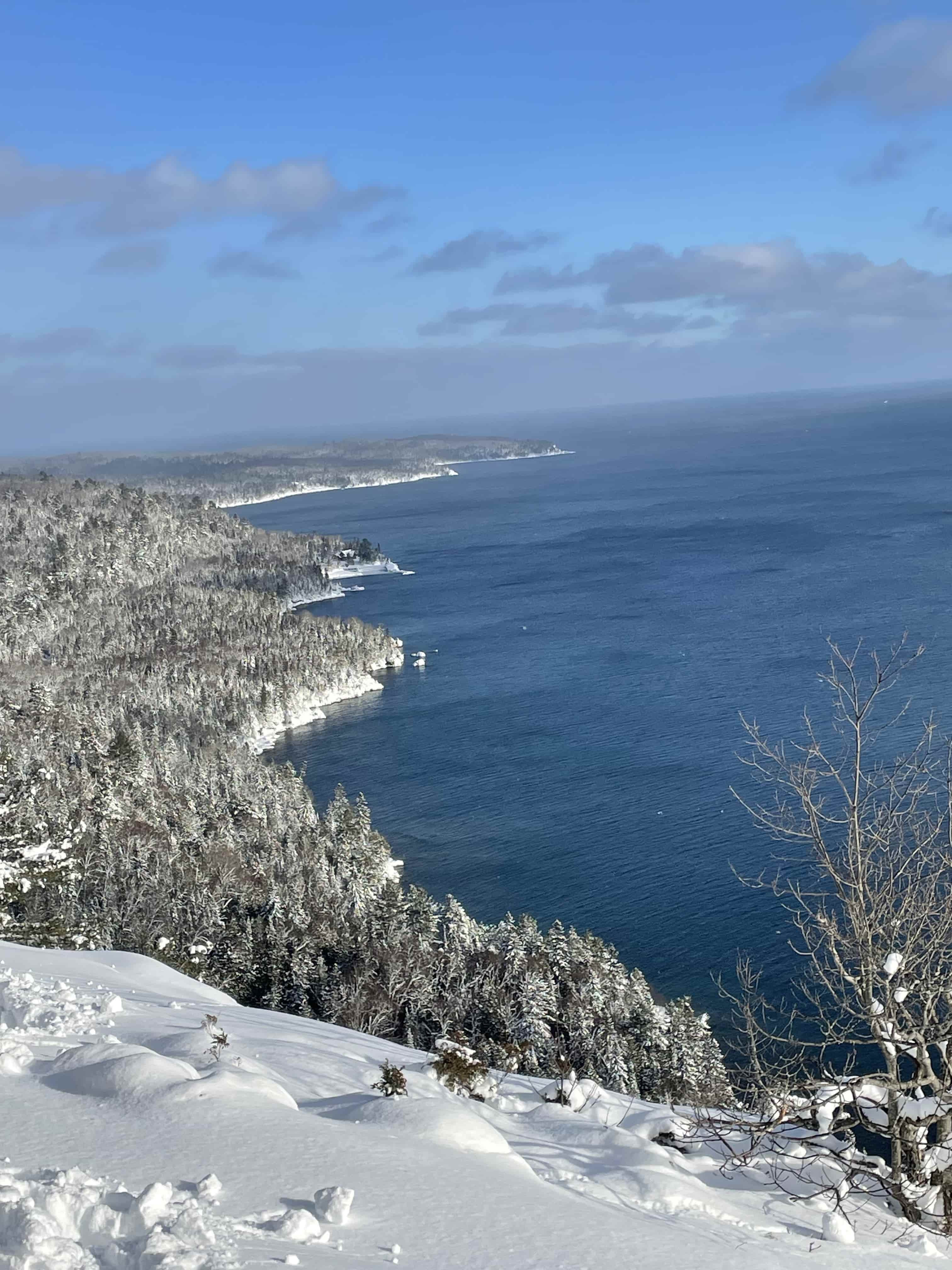
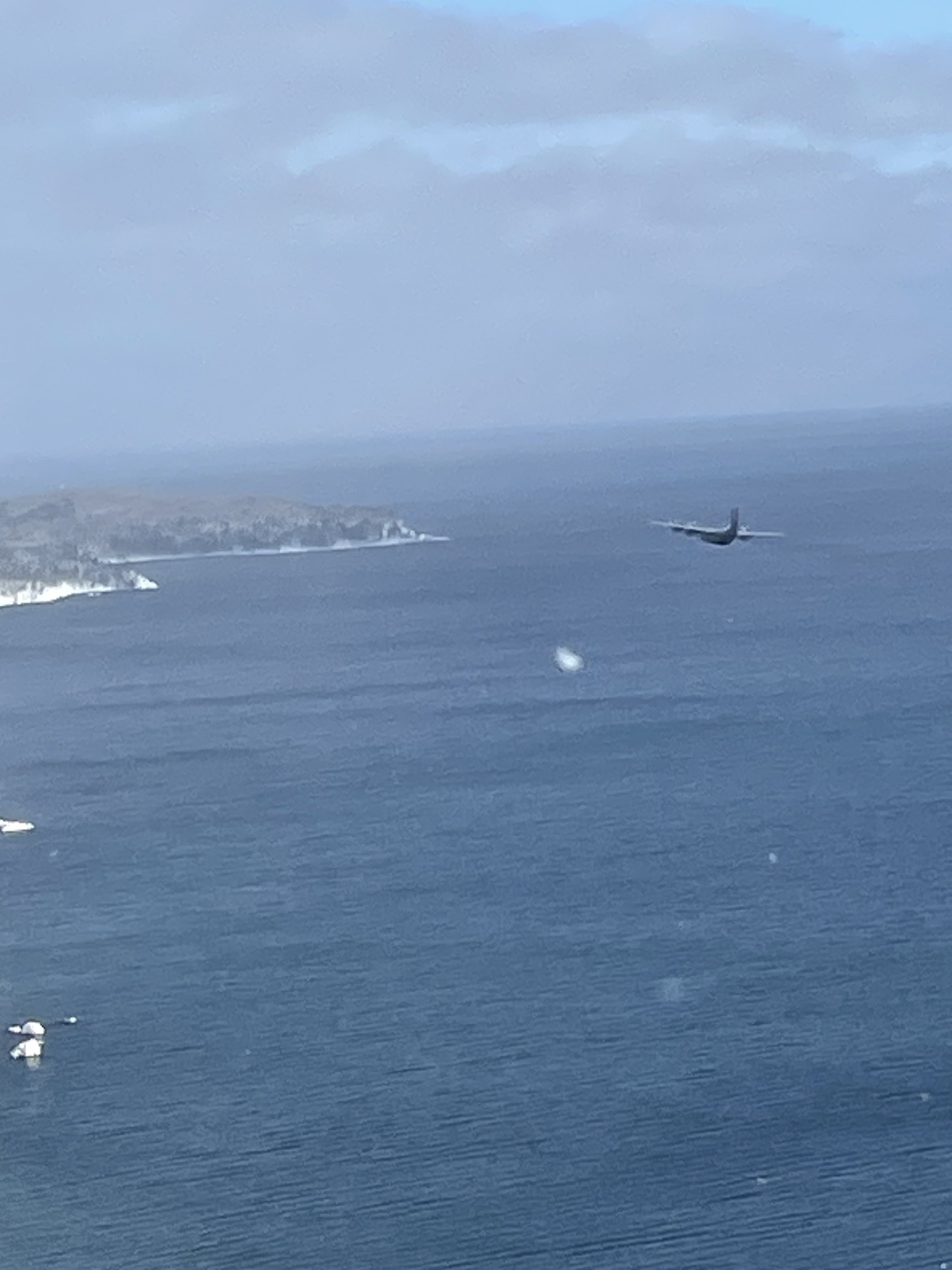
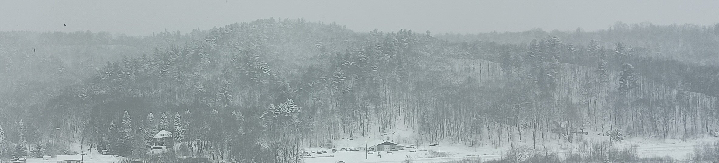
Absolutely gorgeous past couple of days in the Keeweenaw. Blue skies and snowy trees are a rarity even up here (the former is the real challenge to capture). Bonus High Resolution Images - https://imgur.com/gallery/1bV8ocV (Some photos are not mine. I didn't have the reaction time to get the C-130 that snuck up on us)