Powerball
-
Posts
14,464 -
Joined
-
Last visited
Content Type
Profiles
Blogs
Forums
American Weather
Media Demo
Store
Gallery
Everything posted by Powerball
-
'99 had a Blizzard Warning.
-
They didn't think the expected snowfall total (1-3") was worth a WAA. They instead opted to cover it with a SWS.
-
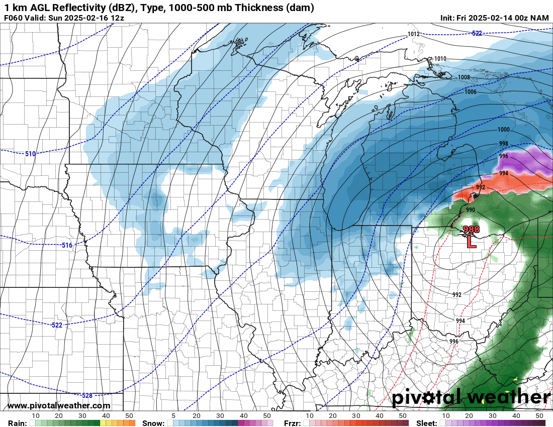
It appears the slow step back down to reality has begun with the 00z NAM.
-
Roger Smith has spoken...
-
There didn't appear to be any observations of snow at the NWS sites out that way as of 4pm CT
-
5pm now and still no AFD. I can only figure it's a doozy, lol...
-
18z GFS is an improvement from the 12z GFS run.
-
18z ICON is more amped / NW though.
-
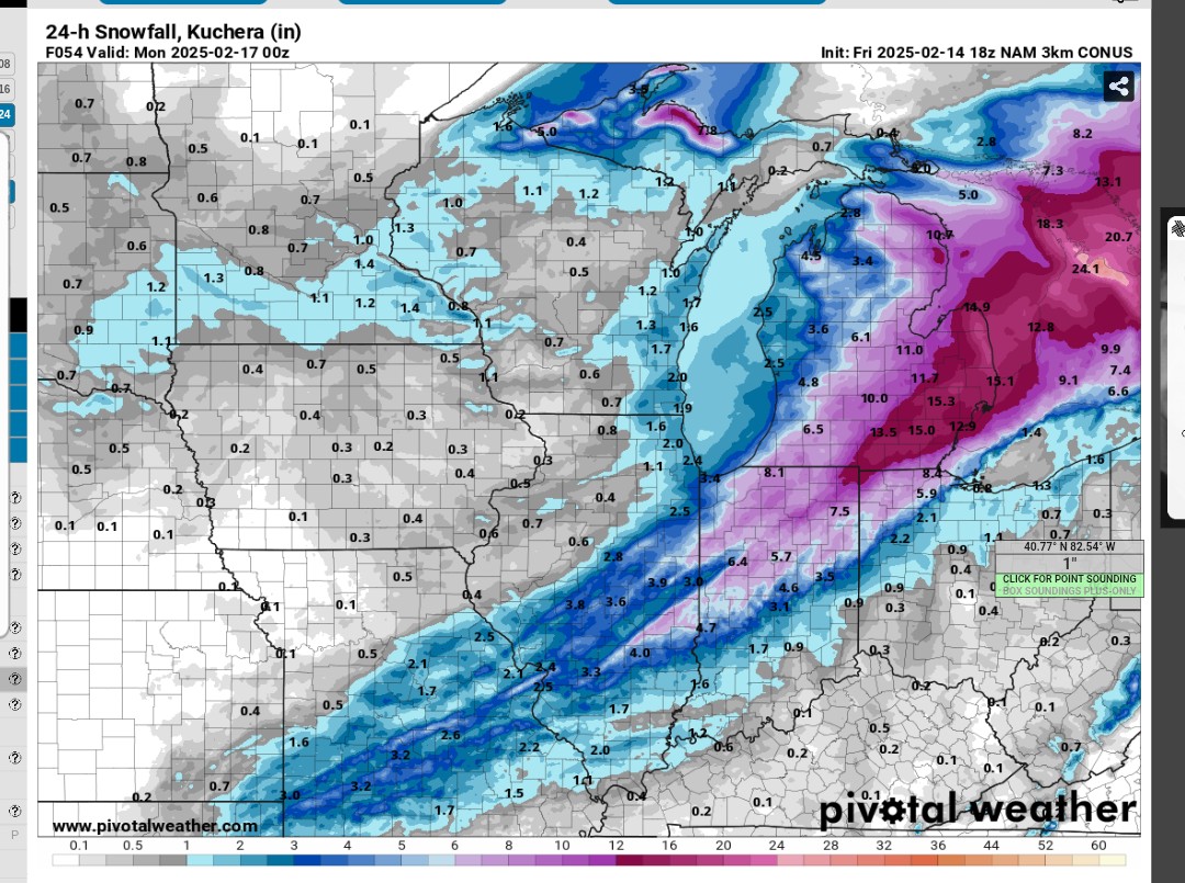
To be clear, I know there's virtually no chance of the 3km 18z NAM happening (it doesn't even jive with how the upper levels look). But got damn, it is some nice eye candy...
-
This of course excludes WAA snows...


-
That 3km 18z NAM is quite nice for Detroit. Full-blown blizzard. EDIT: Flying home-worthy
-
It's not just the snow totals either, but there will also be significant blowing/drifting and fairly high rates. Considering that, an argument could be made for an impact-based WSW despite snow totals possibly falling short of the technical threshold. But that debate is a whole 'nother can of worms, especially with the recent changes to the criteria that have been rolled out.
-
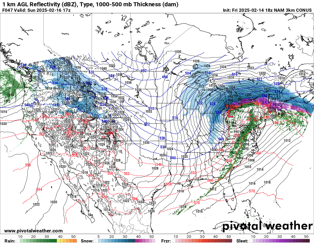
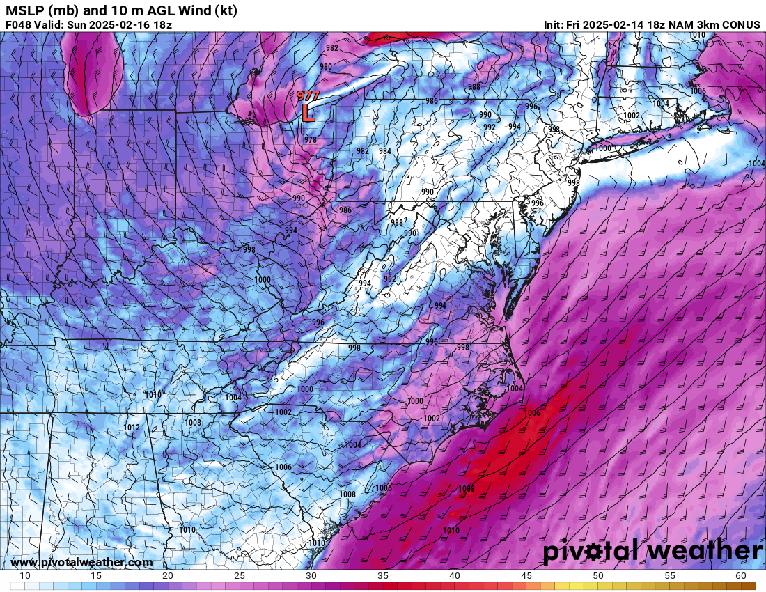
HRRR is finally coming back to earth with the 18z run.
-
It was still a decent snowstorm for the Detroit area (just not a big dog)
-
12z UKMET has taken a step back from the amped runs yesterday. It looks more like the GGEM now.
-
Severe weather easy to predict? *Laughs in Southern Plains under DFW's cap of steel*
-
12z NAM will also continue to be amped / NW...
-
Yeah, they punted. Kind of funny, but not surprising.
-
Perhaps a more unfortunate trend is that the models have been slowly but steadily doing away with the initial WAA snow...
-
12z HRRR is holding firm with the amped / NW solution. We'll see if the other 12z models follow suit...
-
I have to imagine that DTW, IWX and GRR issue watches for portions of their CWA this morning. Certainly enough of a consensus in model guidance to support it at this stage...
-


-
lol
-
The 18z RGEM is also looking more similar to the UKMET and NAM, for what little it's worth...
-
It did end up similar to the UKMET for eastern areas.