Layman
-
Posts
777 -
Joined
-
Last visited
Content Type
Profiles
Blogs
Forums
American Weather
Media Demo
Store
Gallery
Everything posted by Layman
-
We're watching the poor guy's deep well of optimism be cannibalized by Stein and run dry in real time. Sad.
-
Uh... @weatherwiz?? https://6abc.com/post/pennsylvania-man-set-fires-kill-spiders-igniting-blaze-damaged-homes-police/18646148/
-
Wow! That was a crazy fire. Headline said two hurt, which if true and the only injuries, is amazing considering the inferno there.
-
Clipper Fires In Wednesday Feb 25 Disco/ Obs
Layman replied to Damage In Tolland's topic in New England
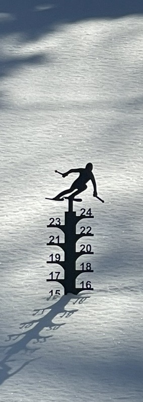
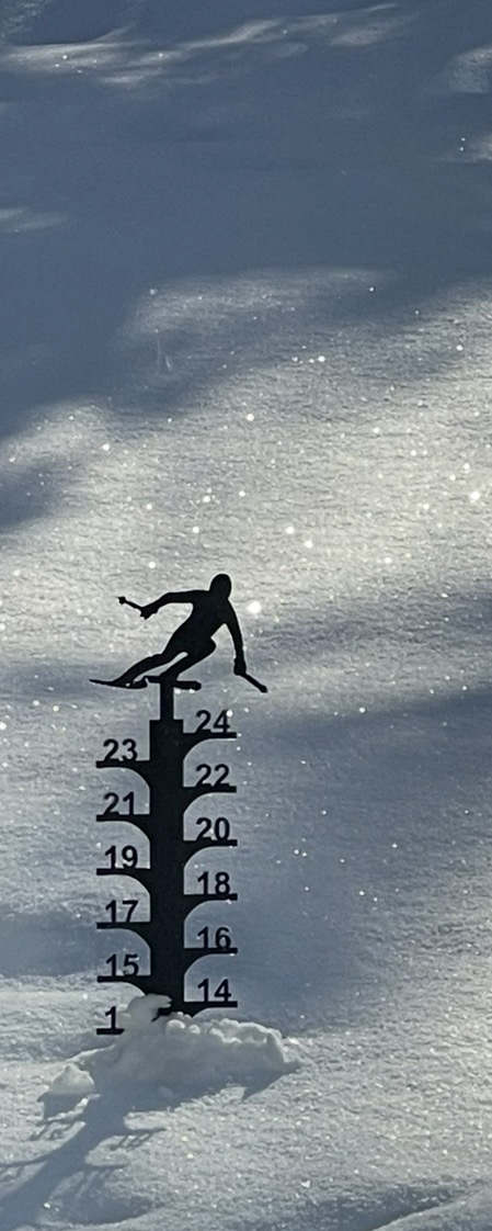
We had a SWS this morning until 10am for heavy-ish snow during the morning commute which did seem to take place. Stake is showing about right on 1" new from it here. -
"Don’t do it" 2026 Blizzard obs, updates and pictures.
Layman replied to Ginx snewx's topic in New England
Thank you for taking the time to put this together, I appreciate it. -
"Don’t do it" 2026 Blizzard obs, updates and pictures.
Layman replied to Ginx snewx's topic in New England
Are the primary drivers for the similarities in areas hit and amounts dropped (in 1978 and 2026) largely due to the intensity of the storm and it's positioning? I understand 1978 stalled out and snowed over a longer period of time but am mostly curious about the how/why those intense bands just continued to clobber that SEMA and PVD area specifically in both instances. -
-
"Don’t do it" 2026 Blizzard obs, updates and pictures.
Layman replied to Ginx snewx's topic in New England
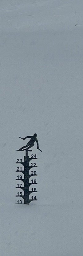
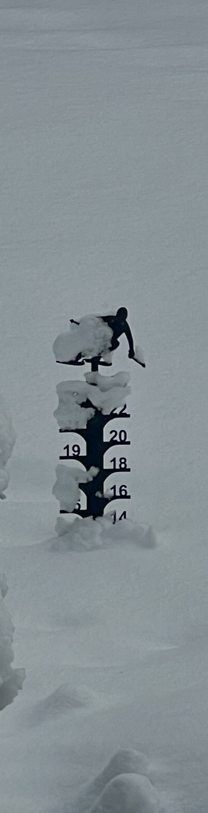
My unofficial stake showed a total increase of 3” from start to finish. Seems pretty disingenuous though as it plowed more like 6-8”. The drifting, existing snow and density made it feel like a decent amount.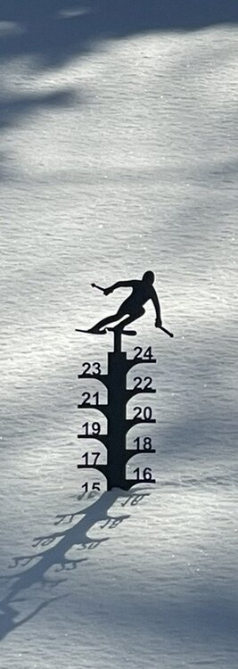
-
Fixed your post. You're welcome
-
"Don’t do it" 2026 Blizzard obs, updates and pictures.
Layman replied to Ginx snewx's topic in New England
If nothing else, you're definitely passionate my friend! -
"Don’t do it" 2026 Blizzard obs, updates and pictures.
Layman replied to Ginx snewx's topic in New England
Wow, you guys really are getting nailed down there! Good stuff! -
"Don’t do it" 2026 Blizzard obs, updates and pictures.
Layman replied to Ginx snewx's topic in New England
Good to see you post. Always appreciate your insight and perspective on the weather! -
"Don’t do it" 2026 Blizzard obs, updates and pictures.
Layman replied to Ginx snewx's topic in New England
It's almost like you needed this though... -
"Don’t do it" 2026 Blizzard obs, updates and pictures.
Layman replied to Ginx snewx's topic in New England
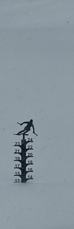
Southeast NH. First pic was 8am yesterday morning, second was 9am this morning. It’s windy and snowing but this gets a full fledged TBlizz “meh” at this stage.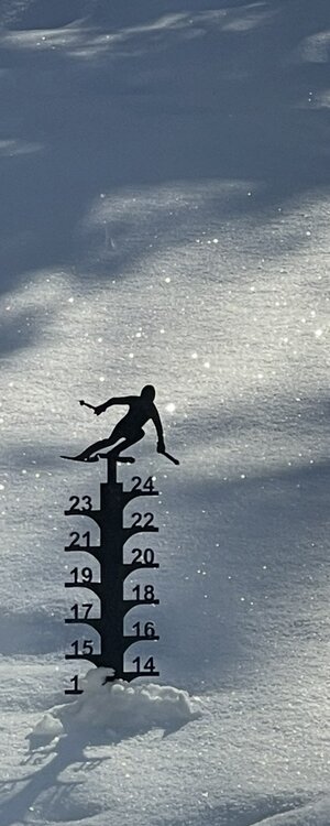
-
Quite the cutoff there at the NH border. Talk about a screw zone!
-
Beautiful. This is why we're looking for a place up in that area.
-
Just keep dad calm and if necessary, post a safeword here on the forum and we'll send help
-
If it's on a phone, go to the image then take a screenshot of that, crop if necessary and post from there. Much smaller file size that way.
-
Initial thoughts on what the gradient may look like in SNH and the coast based on past similar events?
-
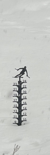
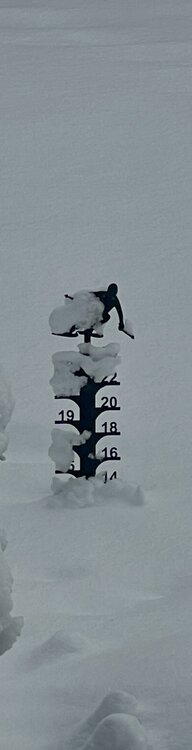
Got a bit more than anticipated. Grabbed a pic as it started yesterday and one this morning. We’re and fluffy stuff. Experienced some decent rates on 101 near 95 last night around 11pm.
-
Over 8 feet of snow in Tahoe: https://x.com/US_Stormwatch/status/2024621478965367028
-
Damn, you guys are brutal!
-
Respectfully, I think we should wait for @ineedsnow to chime in on this before we pass judgement.
-
Curious if we'll see a Dong of Destiny or if the Bag of Asses will prevail. Just trying to leverage some of my new-found meteorological jargon I've picked up here.
-