Hurricane Agnes
-
Posts
9,271 -
Joined
Content Type
Profiles
Blogs
Forums
American Weather
Media Demo
Store
Gallery
Everything posted by Hurricane Agnes
-
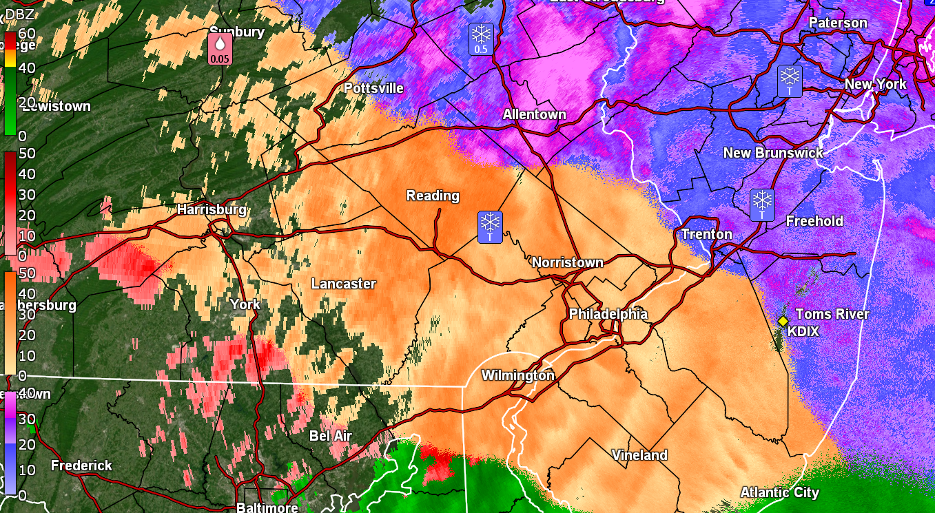
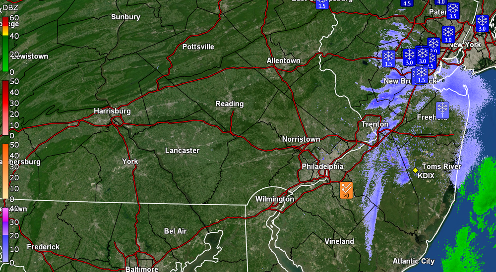
Ended up with 0.30" of compacted graupel and sleet, coated with some freezing rain. Temp has been hovering around 27 for the past couple hours but finally ticked up to 28 with dp 26. Have been watching some narrow stationary band, extending from south central NJ to NE NJ, just sitting and I guess snowing.
-
Doesn't seem to be doing anything here in NW Philly except maybe some FRDZ, with about 0.3" of a crust of graupel/sleet/ice. Temp currently 27 with dp 25.
-
You missed the glacial January 1977, I think still the coldest on record here in Philly, back in the days when temps would go below zero more frequently (KPHL hasn't gone below zero for a low since 1994). I remember the walks were literal sheets of ice and the bus route that I took to high school that went up a little hill under train tracks, could not get up it so people had to get off the bus and walk up to the top and then get back on (the route has eventually modified decades later to avoid that hill). Salt truck just came through! Yay!!
-
Getting more sleet mixing in now with the ZR. Temp 26 and dp 24.
-
There were multiple ice storms that winter. It was awful because the state of PA ran out of road salt and consumer halite. I remember having to go on a work trip down to Baltimore that January (by Amtrak) but drove to 30th St. Station. I did my usual down Lincoln Drive and was ready to go up the ramp to City Line Ave to get to the Schuylkill Expressway (figuring that would be treated) and had KYW on where I heard a traffic report about the poor conditions there, so kept straight onto the Kelly Drive instead, going slow. Later found out that they had to close the Expressway due to cars and trucks stuck on the exit/entrance ramps unable to move due to the ice (and those ramps freeze before the roads). I think people were trapped for like 8 hours. Thankfully it was all rain down in Baltimore and they had plenty of halite in the stores, so I was able to buy a couple bags to bring back for my mom. That winter, her front walk ended up being the only one done to the cement because no one else had salt.
-
Gettling light ZR with some flakes mixed in. Untreated surfaces here caved to the graupel and sleet (more graupel then sleet as I didn't hear much sound as it was coming down). Looks like snow on the walks but I know it's not and is treacherous. Temp is currently 26 with dp 23 (so finally out of the teens).

-
Nowcasting now since it's here! Getting a mix of snow and graupel here in NW Philly. Temp is 28 but dp is way down in the teens at 14.
-
E PA/NJ/DE Winter 2025-26 Obs/Discussion
Hurricane Agnes replied to LVblizzard's topic in Philadelphia Region
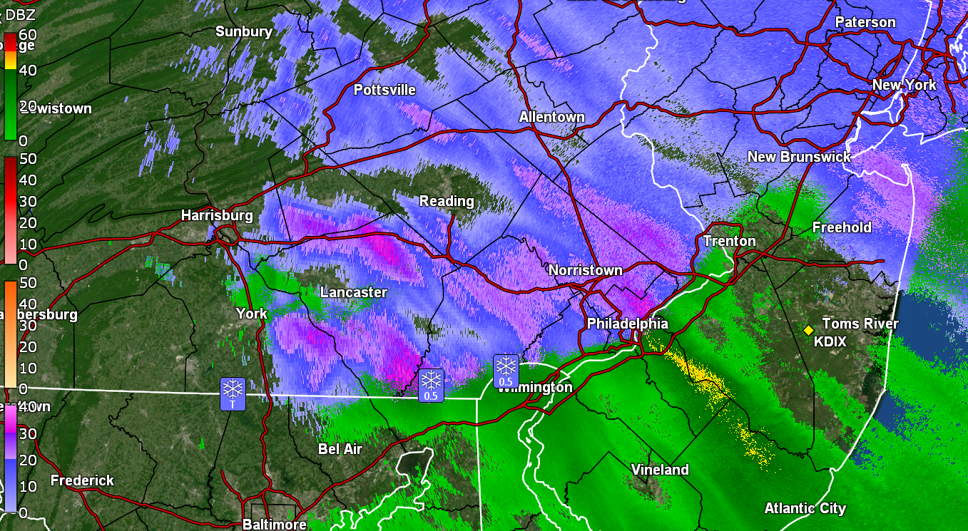
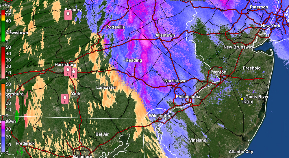
Picked up a quick 1/4" before the mix started and currently have a light rain/snow mix with temp @33 and dp 32. -
E PA/NJ/DE Winter 2025-26 Obs/Discussion
Hurricane Agnes replied to LVblizzard's topic in Philadelphia Region
Pancakes flying here. Had virga the past couple hours but stuff has arrived! Already coating the cars, grass, and untreated surfaces. Temp is 36 with dp 31.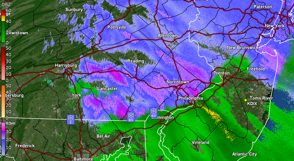
-
E PA/NJ/DE Winter 2025-26 Obs/Discussion
Hurricane Agnes replied to LVblizzard's topic in Philadelphia Region
I was listening to KYW about an hour ago and the traffic report was already talking about down trees (e.g., in Delco). But flying cows! Temp here has dropped over 15 degrees from my earlier high and I'm down to 40 with dp 28. -
E PA/NJ/DE Winter 2025-26 Obs/Discussion
Hurricane Agnes replied to LVblizzard's topic in Philadelphia Region
High Wind Warning was issued for metro Philly -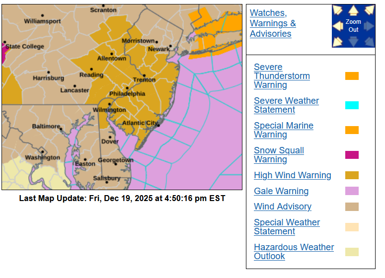
-
E PA/NJ/DE Winter 2025-26 Obs/Discussion
Hurricane Agnes replied to LVblizzard's topic in Philadelphia Region
Looks like much of that line has been breaking up and am suddenly getting some gusty winds as the leading edge is coming in. Temp is currently 51 and dropping, with dp continuing to drop and now down to 39. -
E PA/NJ/DE Winter 2025-26 Obs/Discussion
Hurricane Agnes replied to LVblizzard's topic in Philadelphia Region
Ray lofted a STW - I had 0.05" additional rainfall after the main event was done (total 1.95" for today and on top of 0.03" last night before midnight, a 2-day event total of 1.98"). Have been watching remnants coming through. Currently mostly cloudy with breaks of sun and 53, with dp 43.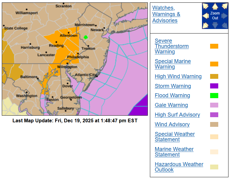
-
E PA/NJ/DE Winter 2025-26 Obs/Discussion
Hurricane Agnes replied to LVblizzard's topic in Philadelphia Region
What a temp swing this week. I had bottomed out Tuesday morning at 15 (which was colder than Monday's 17 low) and am currently coming down off a 58 just ahead of the gust front/cold front. Even got some texts from my sisters when that came through and their descriptions of "like a hurricane" and "that was pretty bad". Currently in a precip hole with 1.90" in the bucket (but another round is incoming) and temp is down to 51 with dp 51. -
E PA/NJ/DE Winter 2025-26 Obs/Discussion
Hurricane Agnes replied to LVblizzard's topic in Philadelphia Region
I ended up bottoming out at 17 yesterday morning and hit a high of 26. Am currently at the same low of 17 with dp 14. Looks like a warm-up and rain by the end of the week and then another cold shot. That means that snow piles and plowed mounds will saturate with the rain and then freeze into glaciers. -
Saturday night/Sunday 12/13-12/14 Jawn
Hurricane Agnes replied to Ralph Wiggum's topic in Philadelphia Region
Was gonna ask if the snowpile was made and there it is! -
E PA/NJ/DE Winter 2025-26 Obs/Discussion
Hurricane Agnes replied to LVblizzard's topic in Philadelphia Region
I know you are in 7th heaven - cold blast, blanket of snow on everything, and an Eagles blow-out! Temp here is now down to 18 with dp 10, so the arctic air is settling in. -
Saturday night/Sunday 12/13-12/14 Jawn
Hurricane Agnes replied to Ralph Wiggum's topic in Philadelphia Region
Arctic air is starting to pour in now... My high ended up being 33 just after midnight and am currently at 22 (my low so far), with dp 16. -
Saturday night/Sunday 12/13-12/14 Jawn
Hurricane Agnes replied to Ralph Wiggum's topic in Philadelphia Region
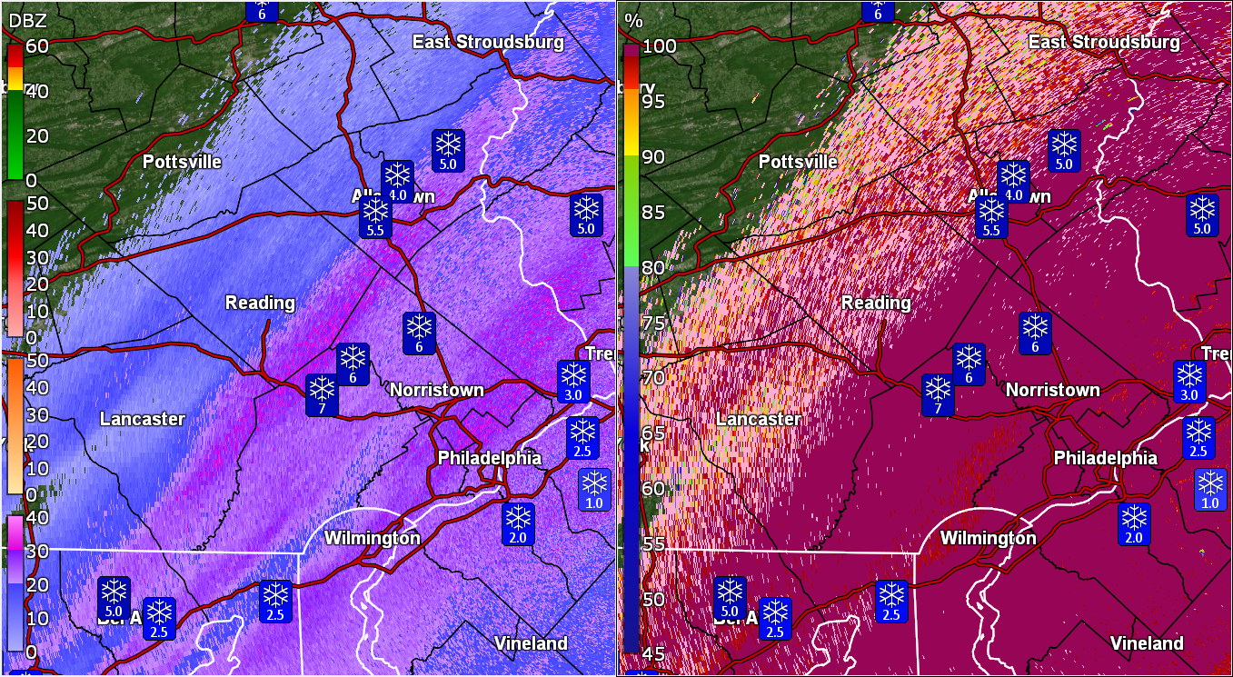
11 am in NW Philly - 5.75", There's a blob just to the west but I don't think it will produce much. Temp is down to 26 and falling with dp 22. -
Saturday night/Sunday 12/13-12/14 Jawn
Hurricane Agnes replied to Ralph Wiggum's topic in Philadelphia Region
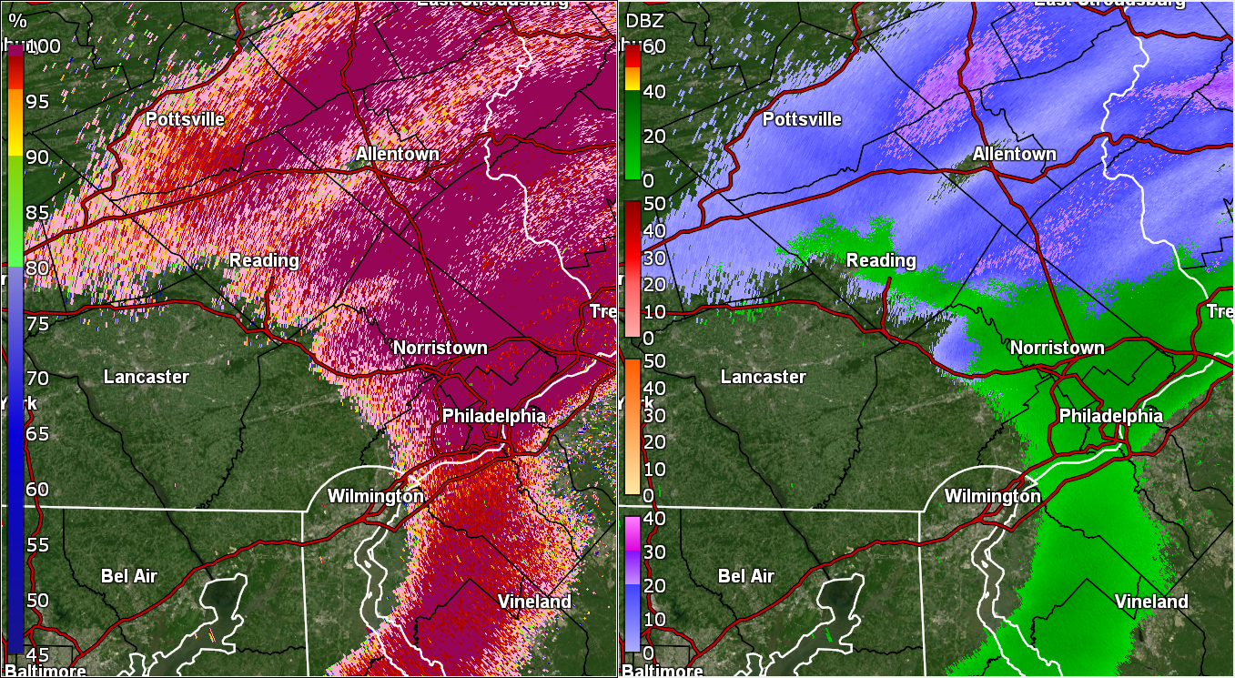
Back edge is approaching and I noticed the wind picking up again. Temp has dropped to 29 (and is slowly falling) with dp 28 and am back to SN for now. -
Saturday night/Sunday 12/13-12/14 Jawn
Hurricane Agnes replied to Ralph Wiggum's topic in Philadelphia Region
8:30 am measurement IMBY in NW Philly was 5.5". I don't think you could have a better snow consistency for scooping it up and throwing a good snowball or using it to make a good snowman. Temp has been holding steady at 30 for the past couple hours and am down to SN- with fog, and dp 30. Looks like a couple narrow bands are to my west that might be productive so shall see! -
Saturday night/Sunday 12/13-12/14 Jawn
Hurricane Agnes replied to Ralph Wiggum's topic in Philadelphia Region
Winter wonderland with the initial wet snow plastered on every surface. 6 am measurement was 3" with temp 32. Currently SN and fog, with temp now below freezing at 31 and dp 31.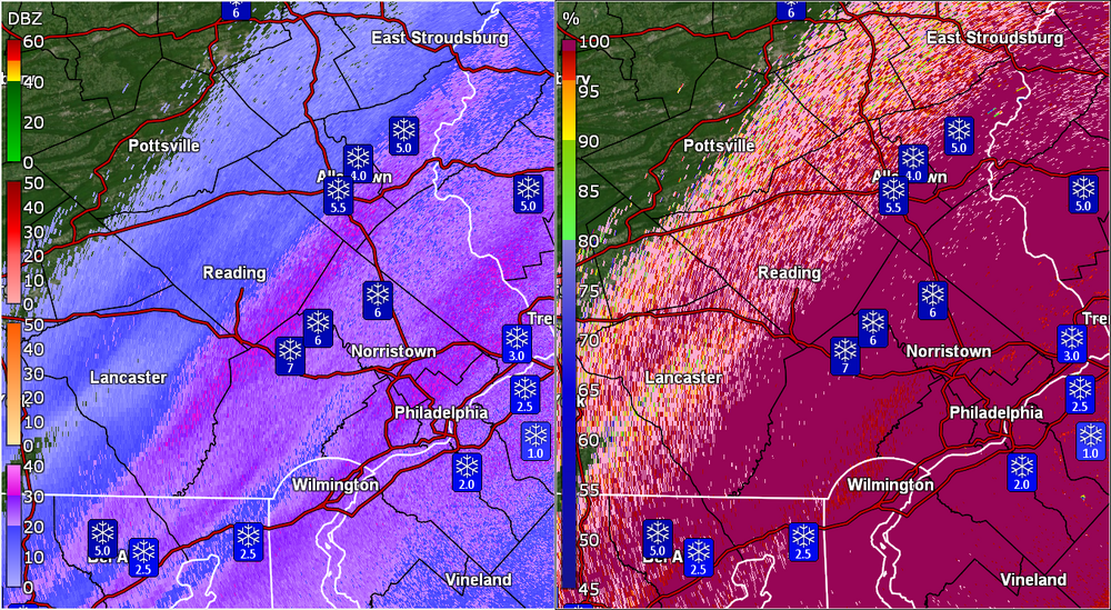
-
Saturday night/Sunday 12/13-12/14 Jawn
Hurricane Agnes replied to Ralph Wiggum's topic in Philadelphia Region
Could have been some kind of pre-frontal thing, although if it is a front, it hasn't passed through here yet with any colder air - my temp is still 37 in NW Philly & dp 29. Also looks like we're in a dry slot before the main action begins. -
Saturday night/Sunday 12/13-12/14 Jawn
Hurricane Agnes replied to Ralph Wiggum's topic in Philadelphia Region
Saw ya'lls reports and was skeptical for here given the radar is green over the city and looked out front and flakes! Temp is currently 37 with dp 28.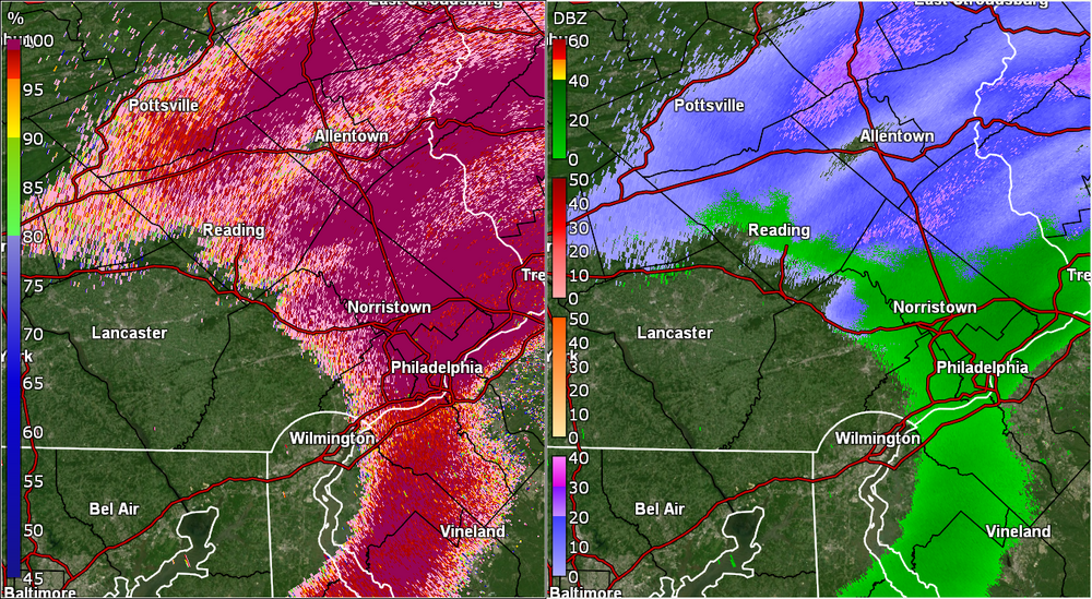
-
Saturday night/Sunday 12/13-12/14 Jawn
Hurricane Agnes replied to Ralph Wiggum's topic in Philadelphia Region
Thar she blows! Some run that I saw yesterday showed what looked like this clipper zooming right off the coast like a Miller B and running on up toward New England.