Hurricane Agnes
-
Posts
9,332 -
Joined
Content Type
Profiles
Blogs
Forums
American Weather
Media Demo
Store
Gallery
Everything posted by Hurricane Agnes
-
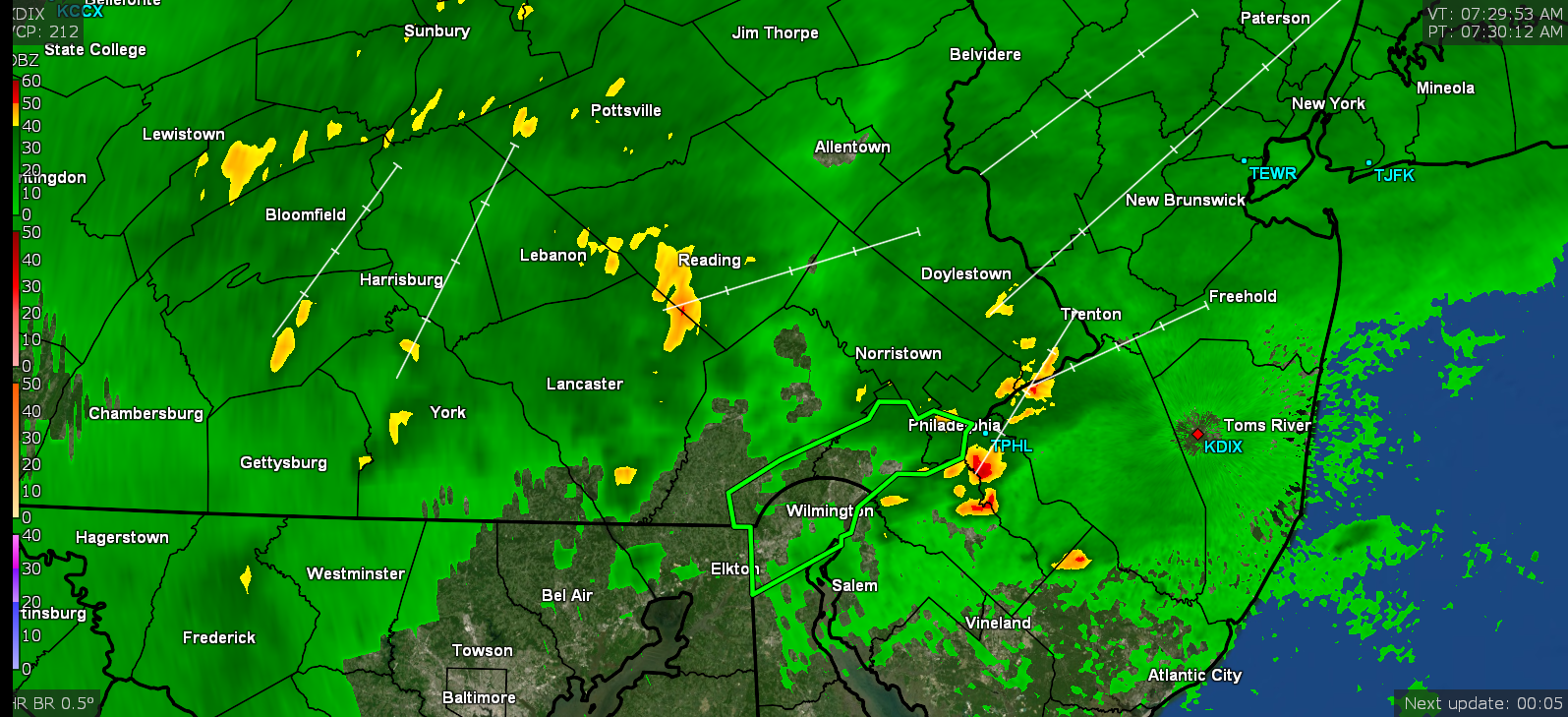
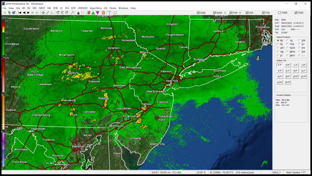
It will depend on whether there is back-building. This little blob just spontaneously formed east of me. Am starting to get some light rain. Not enough to tip the bucket but it is wetting the sidewalk.
-
Stuff right on my doorstep. Considering how slow it was all moving earlier today, it's moving in pretty quickly now and drifting up from the SW too. Temp is 73 dp 71.
- 487 replies
-
- 1
-

-
- hurricane
- flooding potential
- (and 2 more)
-
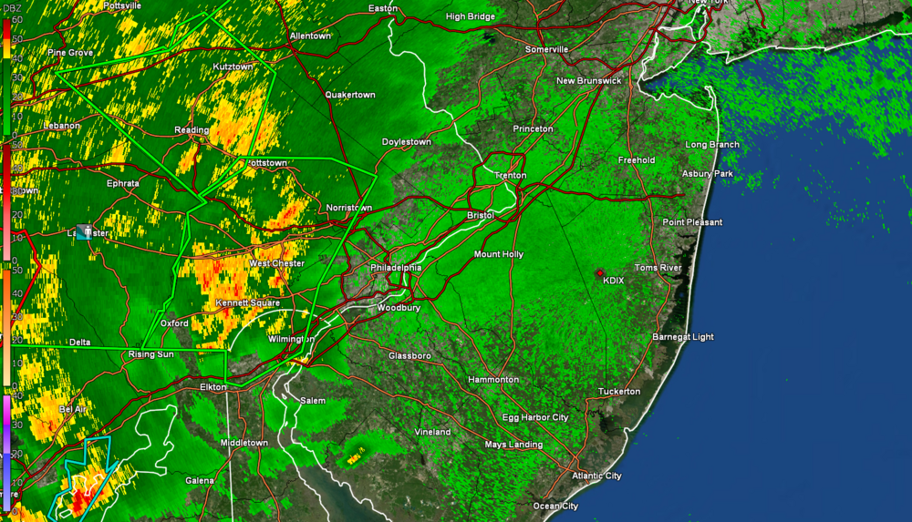
NWS MARFC 48-hr observed rainfall through to 2 pm today -
- 487 replies
-
- 1
-
-
- hurricane
- flooding potential
- (and 2 more)
-
More stuff headed your way!
-
I'm seeing all kinds of scary stuff blobbed around southern Chesco.
-
Just as I saw your message I was getting a FFW alarm out of my weather radio from NWS (this is west of me but getting close now).
-
Temp has crept up to 74 and dp to 71. I noticed the western edge of the band seems to be moving faster now. RedSky should be getting something up yonder in Bucks. The "yellows" are about to roll in there.
-
There's a whole pile of rough stuff all around you right now (although not sure where you are commuting from to get home)! Good luck with the commute. I hate driving in white-out rain.
-
Streamers of stuff starting to advect in from the SW along the band west of here. Some might be hitting Paul soon in Chesco.
-
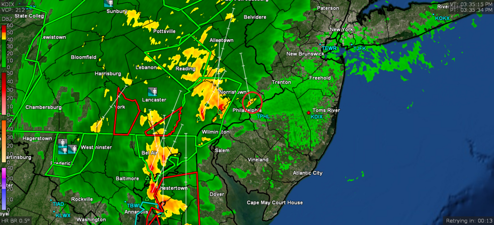
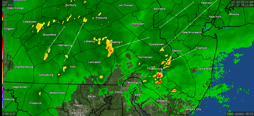
Saw there is a FFW in Berks including Reading -
-
I *think* the warm front is on the move north. Temp here has crept up to 73 after being in the upper 60s most of the morning and early afternoon, but the dp is moving up now too and is at 70 (was in the mid-upper 60s earlier). The band to the west is creeping slowly east.
-
If the warm front moves further north we might be TOR'd further north. Ida is now moving ENE so angling further this way.
-
LOL Someone was reading the thread. SPC is up with TOR Watches.
-
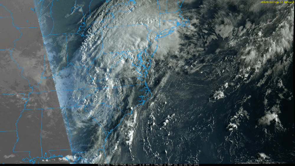
WPC 11 am update (now extratropical, moving ENE at 25 mph, winds and pressure steady) -
-
Here's what Mt. Holly had to say about that - It's gonna probably depend on the position of the front (whether or how far north it lifts as a warm front) and any other dynamics going on in the area that might not be directly related to Ida itself, that I expect is more on the mesoscale level with localized pop-ups that rain themselves out over certain spots.
-
There are some blobs of convection associated with the storm that have been cutting across VA and MD and generally going to the NE, along with the wider band that is funneling to the NW, so we might get something out of the southern blobs.
-
WPC just got real - From NWS MARFC -
-
I can smell that stew all the way down here! Some holes opening in the precip field near me so the rain has stopped for the moment but am at 0.56" so far this morning with temp now down to 68 (so far my low for the day) and dp 68.
-
Just tweeted from Mt. Holly - I was hopping around literally a pile of radar sites and they are all solid with returns (KRLX, KPBZ, KLWX, KCCX, KDOX, and of course KDIX).
-
I've been getting some light rain since before 4:30 am and am already up to 0.49" here in NW Philly. It's just getting started
-
The first of the antecedent Ida rain is hitting here (started just before 4:30 am) and am up to 0.02" so far. Ended up with 11.02" of rain for the month of August, 20.70" of rain and 32 days at or above 90 for the meteorological summer (JJA). High for yesterday was 85 and I'm currently at 70 with light rain and dp 68.
-
WPC 5 am update (strengthened a bit to 30 mph but now a more weak low at 1000 mb, and has now been officially caught in the flow and rolling at 24 mph to the NE) -
-
That's just fascinating!!!! I'm glad a new gauge was put there. Since they have developing all around that area from 25th St. down to the 30th St. corridor (e.g., "Schuylkill Banks" and the pedestrian walkways, etc. running along the river), I expect that monitoring flooding right around there is critical.