SolidIcewx
-
Posts
1,577 -
Joined
-
Last visited
Content Type
Profiles
Blogs
Forums
American Weather
Media Demo
Store
Gallery
Everything posted by SolidIcewx
-
Damn right gonna need it
-
The ice accretion is concerning. Those amounts can go kick rocks of it came into fruition lol. Looking like a hella nice snow for parts of the sub happy to see that
-

Winter 2022/23 Medium/Long Range Discussion
SolidIcewx replied to Chicago Storm's topic in Lakes/Ohio Valley
I wonder if the sudden stratospheric warming event going on in the North Pole right now might impact the second half of March -
Even DTW NW side at least getting it in on some action. Was not expecting expecting that
-
Winter 2022/23 Medium/Long Range Discussion
SolidIcewx replied to Chicago Storm's topic in Lakes/Ohio Valley
What is the thinking on this SSW of the polar vortex that’s going on? Was doing a little reading that this one is similar to the one in 2018 that caused the beast from the east in Europe when the winds reversed direction from Siberia. Wonder what will happen in the coming weeks especially if it gets so disrupted the winds flip from west to east to east-west orientation. -
Winter 2022/23 Medium/Long Range Discussion
SolidIcewx replied to Chicago Storm's topic in Lakes/Ohio Valley
That month was nutty I remember being in high school and when I seen that forecast and how the temps went into the 80s I could not believe it. I sat in one of my Pc classes and seen the temp was 86 and I was wearing shorts and a t shirt. I like warm weather but that was too much and as stated it was horrible for our crops. Then look 2 years later we froze that winter lol -
Winter 2022/23 Medium/Long Range Discussion
SolidIcewx replied to Chicago Storm's topic in Lakes/Ohio Valley
Honestly with a forecast of 62 on the 15th I’ll take some severe weather then @michsnowfreak idea of being buried in March. Best of both worlds -
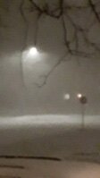
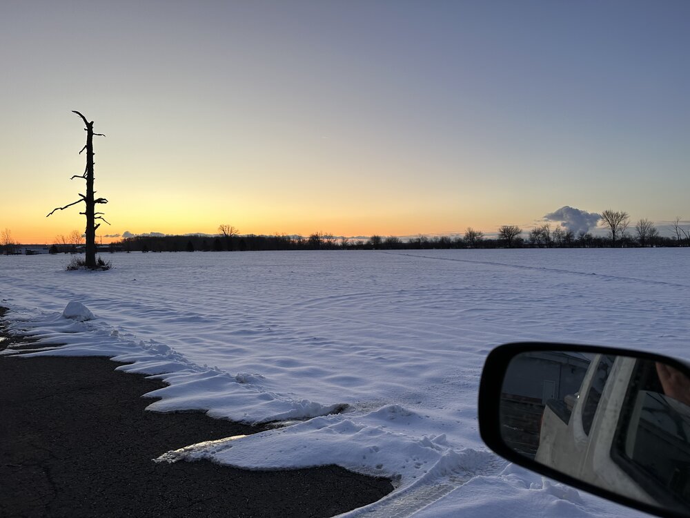
Was kinda crazy watching the snow cover melt before my eyes at work. The melt between 1130 and beyond was sad to see I agree
-
February 8-9 Should There Be a Thread For This Storm
SolidIcewx replied to Hoosier's topic in Lakes/Ohio Valley
Me at work after all the rain and snow melt
-
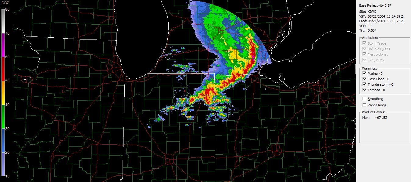
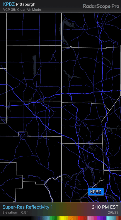
Kinda crazy that train derailment explosion in East Palestine Ohio popped up on radar
-
Winter 2022/23 Medium/Long Range Discussion
SolidIcewx replied to Chicago Storm's topic in Lakes/Ohio Valley
Time to get the swim trunks out -
Who’s ready for a mid March severe weather event like in 2012
-
-
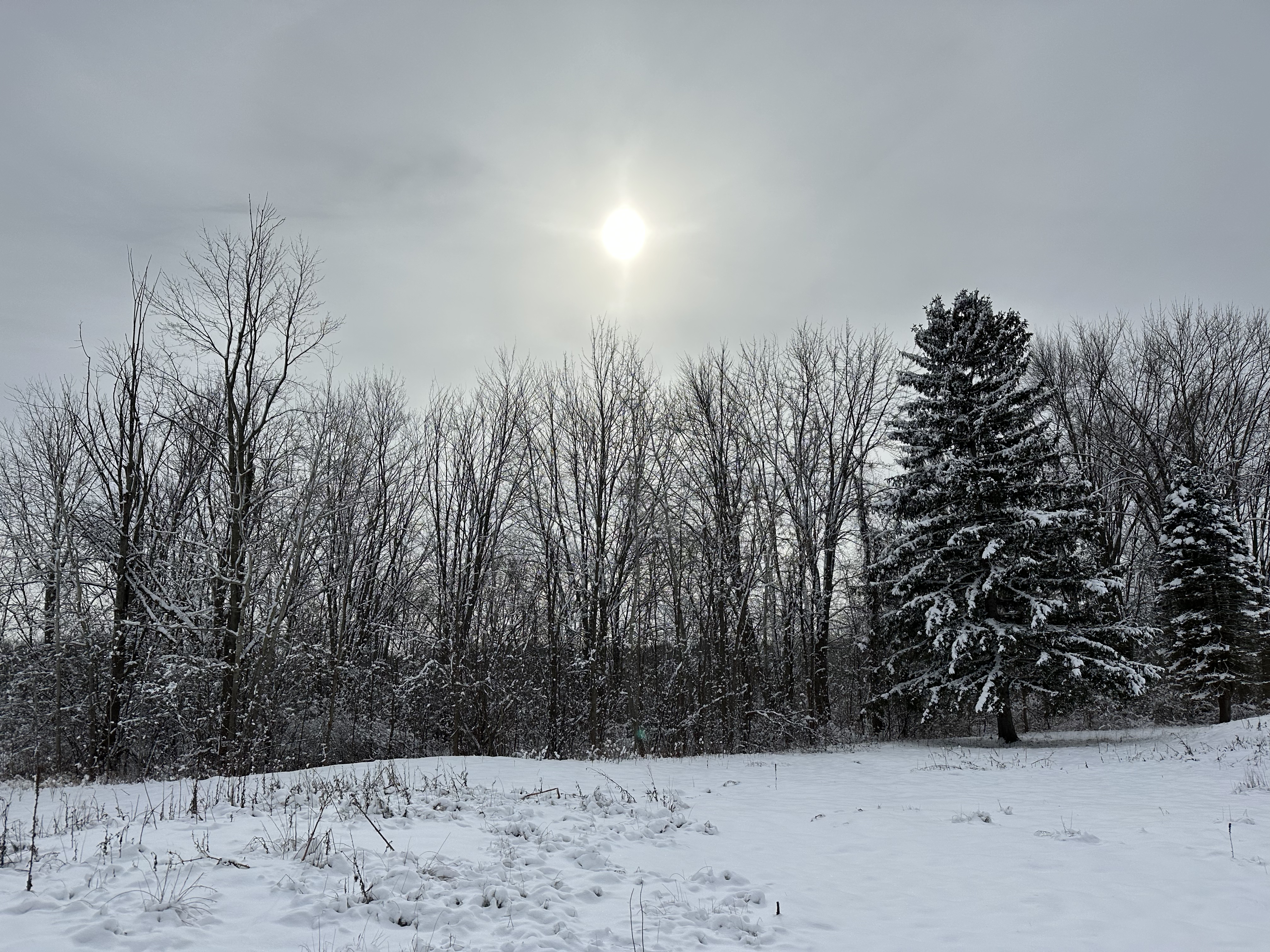
Really feeling and looking like the tundra this morning
-
I was about to graduate when that happened. I will remember for the bad roads and the fact of how it got down to -17 imby at the time. And in September we had upper 90s and temps where I lived and was quite warm and had some record highs then 4 months later to record cold. That winter I was running out of room in my driveway to shovel snow had mounds over 6’ high. And top it off with it being below 0 in March on my bday was something else. Even that summer was cooler than normal if I remember correctly
-
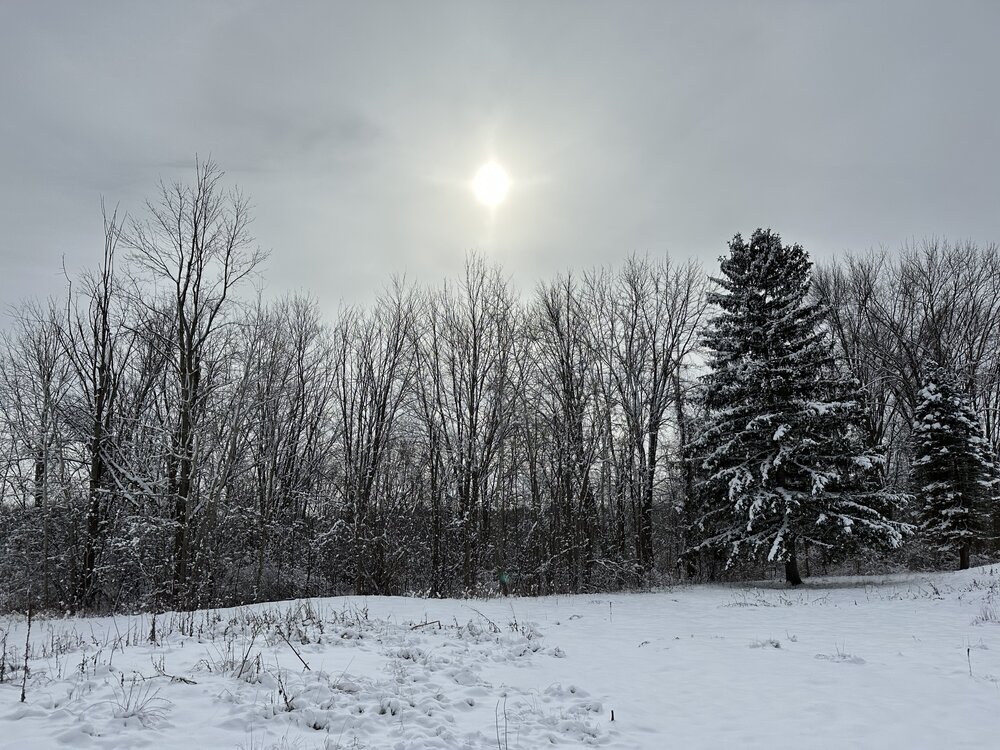
Had some nice light snow to start work today was nice to have snowfall and on top of a snowpack. Really felt like winter. Enjoying it before we torch again
-
That’s currently how I’m feeling. It’s why I laughed when I seen DTX mention rain along and south of 94. I’d be more then happy with 2-4 additional on top of current snow pack.
-
Seen the morning discussion with DTX kinda funny how they are calling for rain along and south of I94
-
I agree the sun shined on the dogs ass that time. But that’s what makes this fun
-
Reel this one in a tad closer
-
I call a thin layer of angel dandruff on my work truck when I get up in the AM
-

-
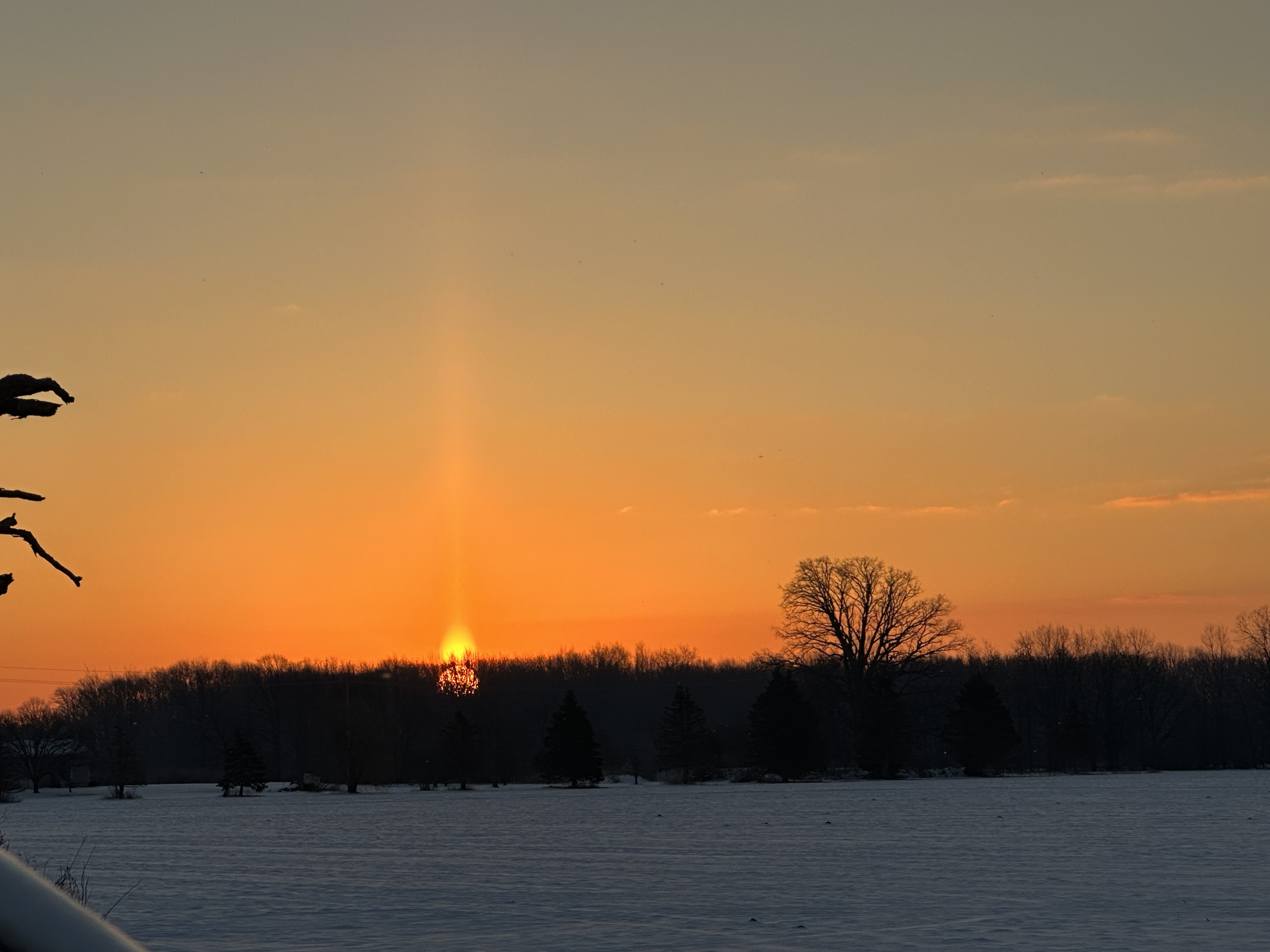
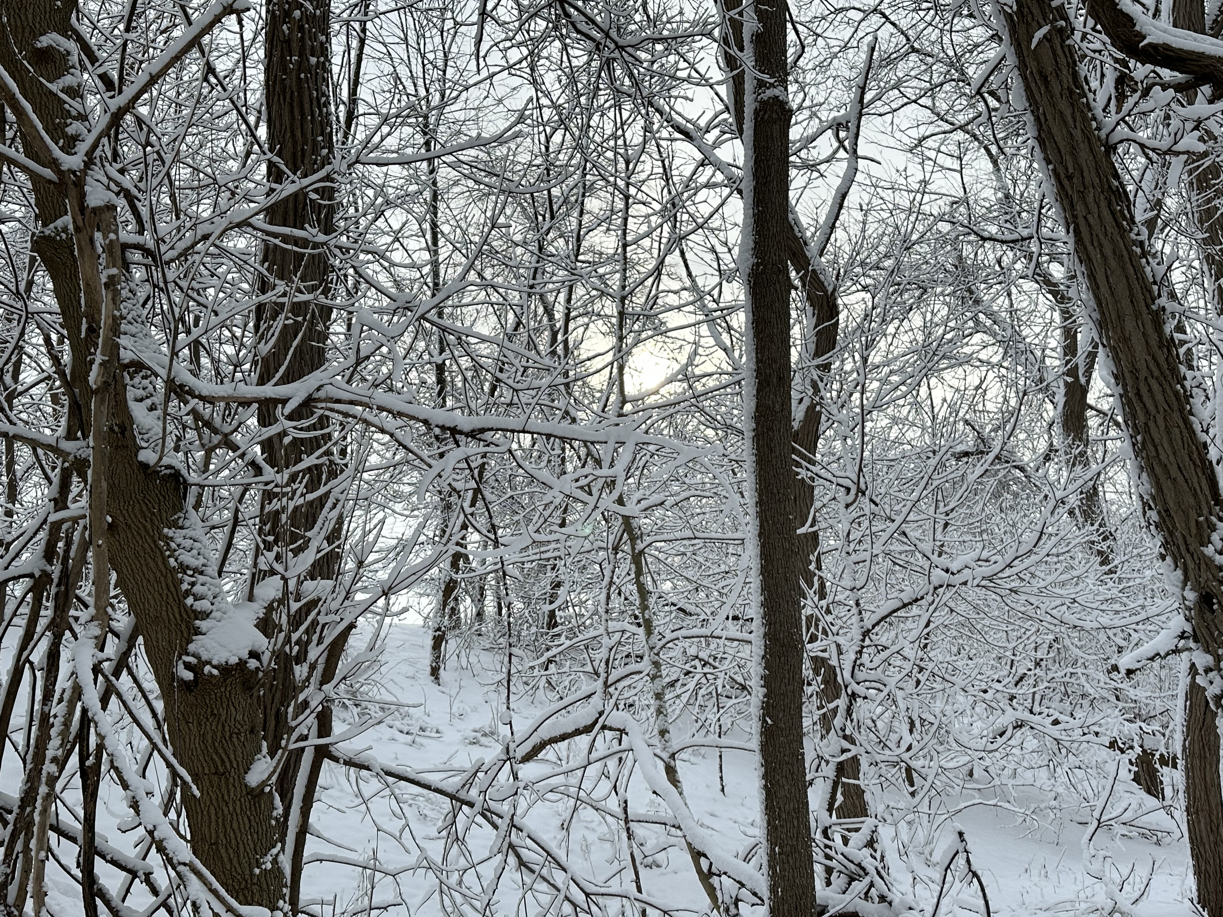
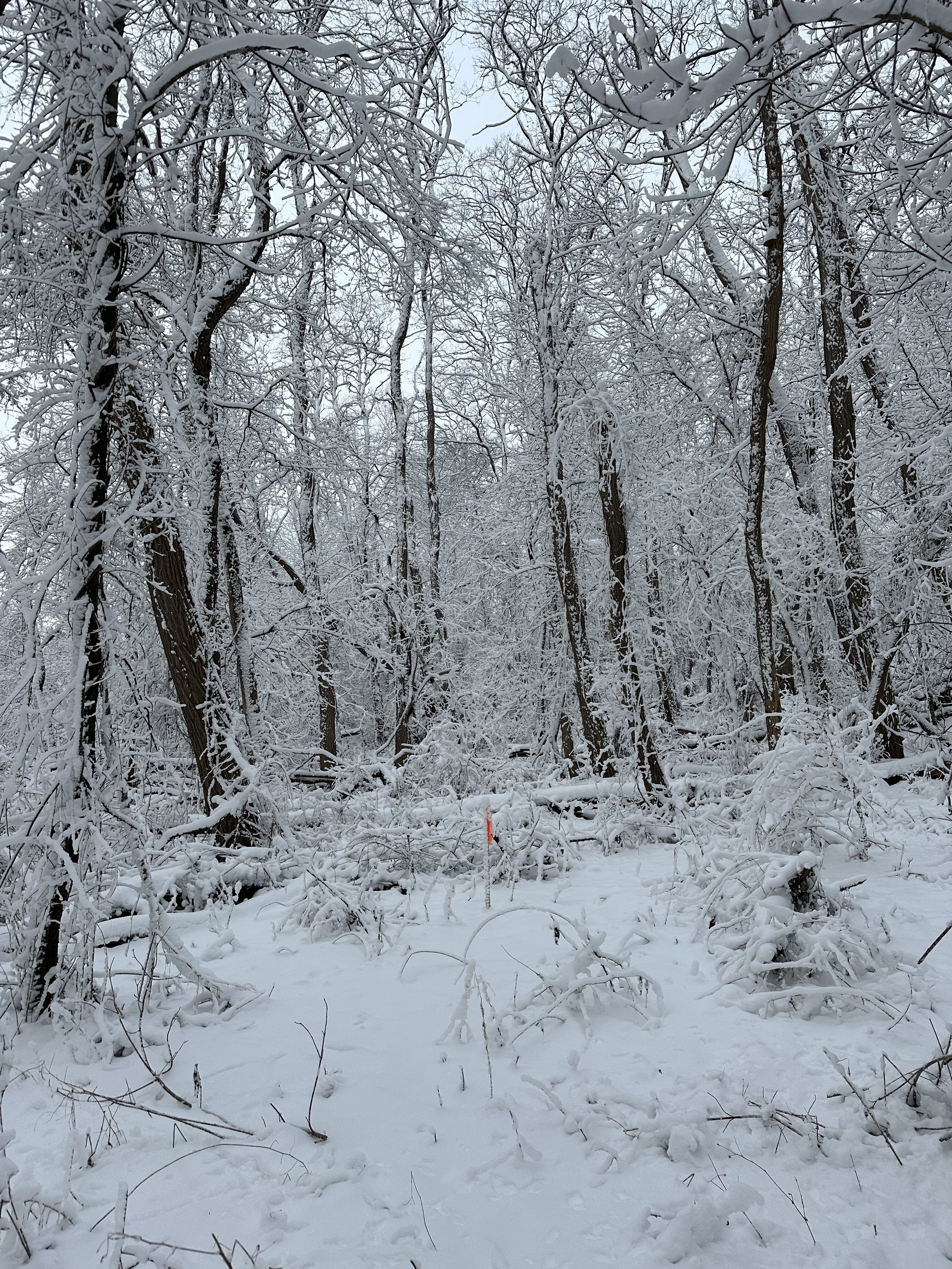
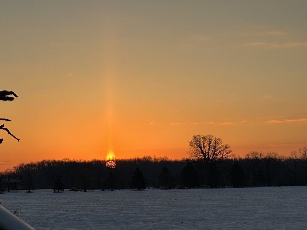
Up in Howell MI awesome winter sun
-
Midwest/Ohio Valley/Great Lakes Snow January 24-26
SolidIcewx replied to Baum's topic in Lakes/Ohio Valley
Sorry for the individual pics file sizes are huge
-
Midwest/Ohio Valley/Great Lakes Snow January 24-26
SolidIcewx replied to Baum's topic in Lakes/Ohio Valley
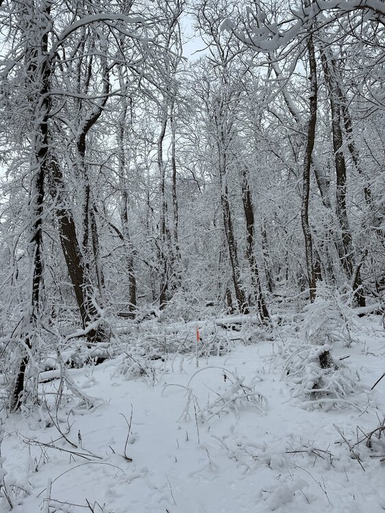
I feel like a kid working out in the woods right now