Intensewind002
-
Posts
906 -
Joined
-
Last visited
Content Type
Profiles
Blogs
Forums
American Weather
Media Demo
Store
Gallery
Everything posted by Intensewind002
-
Didn’t they already get another significant tornado earlier this year too?
-
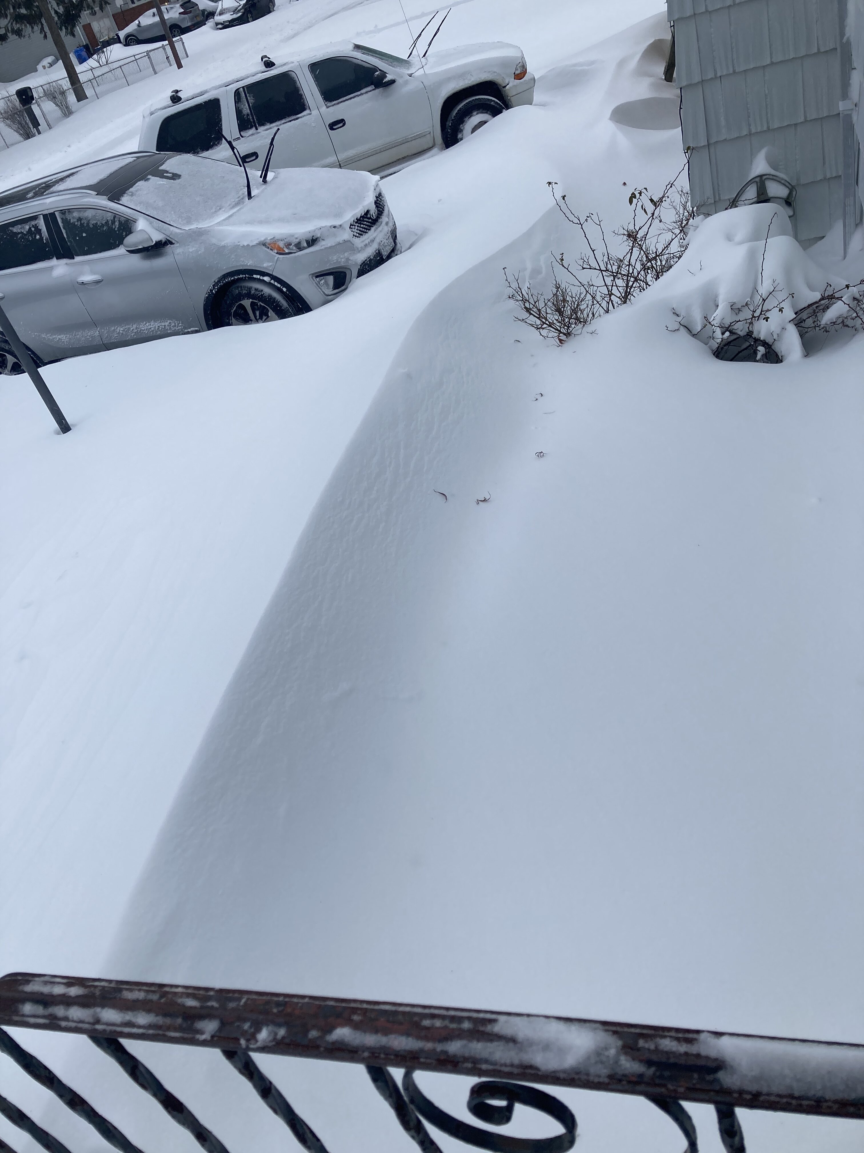
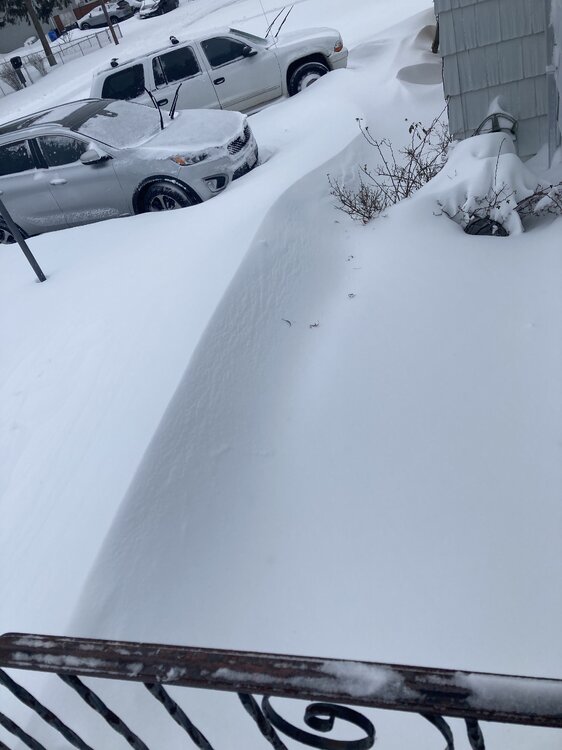
We definitely had a bit of a secondary jackpot in sw suffolk, I came home from Albany for that storm and it was well worth it, I got about 20” or so in Lindenhurst. It still annoys me that we never got an reported snow totals from the south fork. They probably were approaching 30”
-
I was going to check the wpc surface analysis page to see if it was a miller b or a clipper but for some reason they don’t have any archives for January before 2006. All the other months work fine though it seems
-
Does anyone know some 5”/hr or higher snowfall rates we’ve had in the region? maybe March 2018 #4, February 2013, and January 2011? Are there any others?
-
Were there any reports of hurricane force sustained winds on land? I'm assuming probably not. What about gusts 75+ kts?
-
Where I lived in Lindenhurst you would probably need gusts approaching 80 mph to get widespread power outages (Sandy, Isaias, a couple of severe t-storms a few years back). While there are still a decent amount of tree’s left, the mass majority of weaker trees that would cause issues at lower wind speeds are gone now.
-
Sandy was the big event that convinced me weather was my passion, I was 12 years old at the time lol. I always liked storms before that, starting from when I saw my dad watching coverage of Hurricane Ike on the weather channel, but that was the first time I more or less tracked something from days out
-
Accounting for all the days, I’m still at 2.36” maybe some leaves are blocking the rain gauge or something, I’ve had that issue happen before. I have fall break this weekend so I’ll have to check when I’m back home
-
Alright thanks, it must be an issue with the sensor or something
-
My weather station back home picked up about 1.72”, did the south shore get relatively shafted again?
-
This storm would've been March 1888 all over if it was winter lmao
-
Pretty much a hurricane strength sub tropical storm, reminds me of hurricane noel in 2007 https://en.m.wikipedia.org/wiki/Hurricane_Noel
-
Why would that happen? Brown ocean effect from it's own rainfall?
-
Using normalized costs, the list is Katrina, Andrew, Maria, Ida, Sandy, etc.
-
Man the new eye is big, has to be at least like 40-50 miles wide
-
I thought shear was supposed to ramp up big time by late tonight? If Ian doesn’t close off the new eyewall by then, the shear is going to inject a ton of dry air and erode away the southern periphery of the hurricane. Or so I would think…
-
It might’ve been Matthew, they had like the same track except dorian was way stronger
-
Well who would’ve thought this storm was gonna reach its peak before Cuba
-
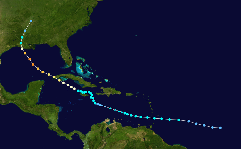
 105 kts, Sarasota FL Peaks at 125 kts 937 mb
 -
How long until twitter is filled with tweets saying: “(government official) says to write your social security number on your arm if you don’t evacuate.”?
-
Is there any off chance that Ian could not make it to major hurricane status? If so how would that effect the storms future track?
-
I’ve been thinking that this storm could have a lifecycle similar to 2002’s Hurricane Lili, but with a landfall a bit further east, they both occurred during the same time period too
-
I think i remember that, was kinda weird where like it would calm slightly between cells. And then after like a five minute break another light to moderate shower would move over and slam us with hurricane force wind gusts.
-
I found this on the CHC site for Cape Breton: Strong category-1 hurricane force winds of 100 gusting to 140 km/h at exposed locations except 140 gusting to 160 km/h at the coast with surge of 1.8 to 2.4 m and dangerous waves from 11 to 15 m from Hurricane Fiona are expected.