-
Posts
62 -
Joined
-
Last visited
Content Type
Profiles
Blogs
Forums
American Weather
Media Demo
Store
Gallery
Everything posted by FamouslyHot
-
Feb 24-25, 2022 Ice/Sleet/Rain/Snow (yeah sure) Storm Thread
FamouslyHot replied to WinterWxLuvr's topic in Mid Atlantic
Some pictures I took this morning. @WxUSAF how much accumulation did you record? I can't find anything to measure with. -
Sorry, but this map doesn't show blue over MBY so I'm going to ignore it
-
http://
-
-
-
-
I think it’s time I go to bed [emoji2361] .
-
GEFS shifted snow a bit south on this run. These same areas are mostly a lock for 1” .
-
-
Thought I'd share some pictures I took. My first snowstorm since moving from the Columbia that doesn't get snow (SC) to the Mid-Atlantic! Storm total right around 6 inches IMBY https://twitter.com/J_Sprankle/status/1478061732887240706?s=20
-
Rain/snow mix in Columbia. Mostly snow and it looks like some accumulation beginning on the tops of cars .
-
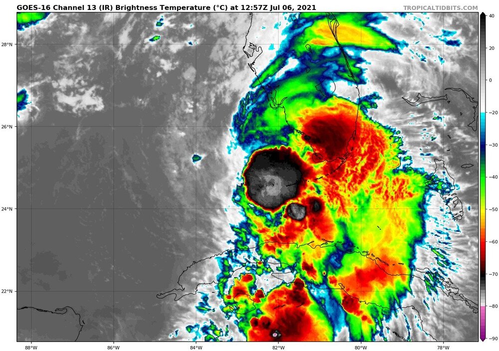
Some decent flight level winds in the center of the blob of convection. Core is starting to look very exposed.
-
-
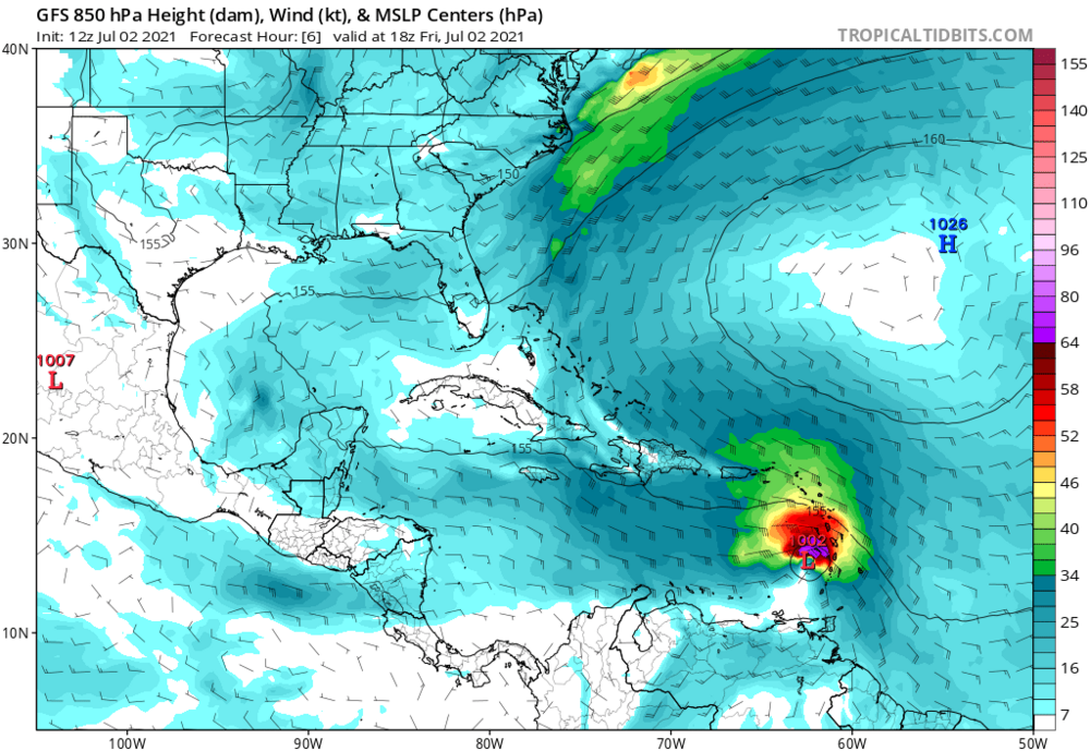
GFS initialized a bit too weak which could be affecting the less impressive 12z run for Elsa. I wouldn't expect any significant weakening between here and Cuba. Shear looks to be about the same in terms of being unfavorable while SSTs will be a bit warmer.
-
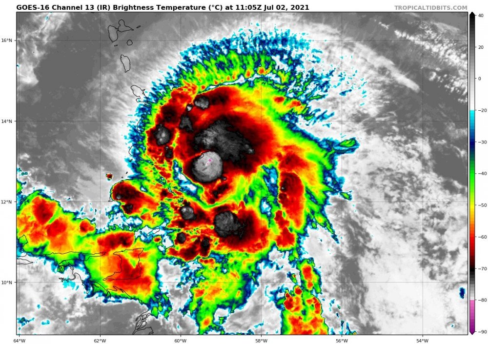
Those are some cold cloud tops near the center. Also, lots of transverse banding from what I assume to be the shear the storm is affected by. Does anyone have some info on what causes this/what this means?
-
https://twitter.com/m_k_gulledge/status/1377691121074237441 Beautiful view of a snow-covered Leconte with spring in the valley
-
I was disappointed to see only a light dusting that resulted from yesterday’s system. Fortunately, it seems as though the NW flow is staying strong. High peaks should pick up at least an inch I would think. .
-
Is there a model that handles NW flow snow the best? I’m assuming it would be one of the CAMs. HRRR or 3k NAM? .
-
At 4300' I think that sounds doable. Wouldn't be surprised if you saw a little more.
-
Looks to be some impressive NW flow snow coming for the highest elevations. I'll be hiking Mount Leconte this weekend. There should probably be around 4-6" of accumulation on the peak.
-
GFS seems to overdo UHI, which I think explains the gap in snow when both north and south of the metro are getting slammed. I think the rates would be enough to overcome the shallow warm layer, at least during the peak of the storm.
-
-
CAE finished January 0.8 above average. Our highs were actually -0.5 but our lows were +2.1. That seems to be the story the past few years, our nighttime lows are getting warmer and warmer. It's a big deal now if we even hit freezing at night.
-
I know by now not to get my hopes up for snow here! But it's still exciting to get a taste of 40 degree rain and watch my friends in the NC mountains get their snow.
-
Eh we have plenty of 2 week periods that look bad for snow, at least this one has some promise on the horizon. I know there's often a metaphorical carrot dangling in front of us with the projected pattern, but I can't help but get excited because this is a BIG carrot. SSW event with a -NAO, +PNA and no southeast ridge is a blockbuster pattern.


