Stevo6899
-
Posts
2,925 -
Joined
-
Last visited
Content Type
Profiles
Blogs
Forums
American Weather
Media Demo
Store
Gallery
Everything posted by Stevo6899
-

Winter 2024-25 Medium/Long Range Discussion
Stevo6899 replied to michsnowfreak's topic in Lakes/Ohio Valley
It gon rain.. -
Winter 2024-25 Medium/Long Range Discussion
Stevo6899 replied to michsnowfreak's topic in Lakes/Ohio Valley
Got a snow map for that one? -
Winter 2024-25 Medium/Long Range Discussion
Stevo6899 replied to michsnowfreak's topic in Lakes/Ohio Valley
Dbl digit less than 20 hour duration. -
Winter 2024-25 Medium/Long Range Discussion
Stevo6899 replied to michsnowfreak's topic in Lakes/Ohio Valley
Yeah I'm not saying they are going to be the magnet but they usually have to cash in first before we get in on some snow. I've seen this b4. If we don't take advantage of the cold we'll be fighting precip issues when a storm does come around. -
Winter 2024-25 Medium/Long Range Discussion
Stevo6899 replied to michsnowfreak's topic in Lakes/Ohio Valley
Yes I was but I still keep track when im down there and was ready to fly back for a snowstorm. I never had to fly back once lol -
Winter 2024-25 Medium/Long Range Discussion
Stevo6899 replied to michsnowfreak's topic in Lakes/Ohio Valley
Perhaps I am overlooking that one but it was prob jackpot south towards you. Last storm I recall was the Nov veterans storm I mentioned yesterday in 2019. -
Winter 2024-25 Medium/Long Range Discussion
Stevo6899 replied to michsnowfreak's topic in Lakes/Ohio Valley
It's easy to be skeptical when there hasn't been a big time winter storm, at least imby, for 5 winters. -
Winter 2024-25 Medium/Long Range Discussion
Stevo6899 replied to michsnowfreak's topic in Lakes/Ohio Valley
We all know the cold with back off just as a low pressure ejects out of the rockies and/or 4 corners, we all end up with precip issues/most likely rain while msp cashes. -
Fall/Winter '24 Banter and Complaints Go Here
Stevo6899 replied to IWXwx's topic in Lakes/Ohio Valley
Thanks for the info. 6 years is definitely too long. Hopefully this December we can get 10+. Also it's gonna be awhile before we break the daily Nov snow record of 9" in detroit that was set back in 2019, mby got 11 with that veterans day storm. -
Fall/Winter '24 Banter and Complaints Go Here
Stevo6899 replied to IWXwx's topic in Lakes/Ohio Valley
Detroit avgs 10 inches per December. I wonder when's the last time it eclipsed that? @michsnowfreak -
Winter 2024-25 Medium/Long Range Discussion
Stevo6899 replied to michsnowfreak's topic in Lakes/Ohio Valley
111 days until spring... -
November 2024 General Discussion
Stevo6899 replied to SchaumburgStormer's topic in Lakes/Ohio Valley
Can't wait to see the flakes flying on the cam at my cottage in bellaire. If it wasn't turkey day, I'd probably road trip up there. -
November 2024 General Discussion
Stevo6899 replied to SchaumburgStormer's topic in Lakes/Ohio Valley
Obviously it doesn't happen as often as I think, but looking at the radar last night with the precip creeping north and halting at the Ohio border, can't help but laugh at how often that seems to occur. Doesn't bother me as much this go around as precip would've been rain but still. Not usual for storms to be missing south this early on... -
Winter 2024-25 Medium/Long Range Discussion
Stevo6899 replied to michsnowfreak's topic in Lakes/Ohio Valley
Obviously an overreaction but that's my winter nightmare. Cold,dry, suppressed. If it ain't gonna snow, let's torch. Useless cold pisses me off lol. Twc posted an interesting article on weak la Nina's and how the Upper Midwest usually does good in those. In recent years, great lakes region has done well during weak Nina's but as always there are other factors. -
Winter 2024-25 Medium/Long Range Discussion
Stevo6899 replied to michsnowfreak's topic in Lakes/Ohio Valley
Once again the GFS schools the euro -
Winter 2024-25 Medium/Long Range Discussion
Stevo6899 replied to michsnowfreak's topic in Lakes/Ohio Valley
Models are trending less wound up with the early week wave which allows heights to build a bit allowing for less suppression with our potential. Obvious as rc has stated, when you rely on phasing, its a toss up. -
November 2024 General Discussion
Stevo6899 replied to SchaumburgStormer's topic in Lakes/Ohio Valley
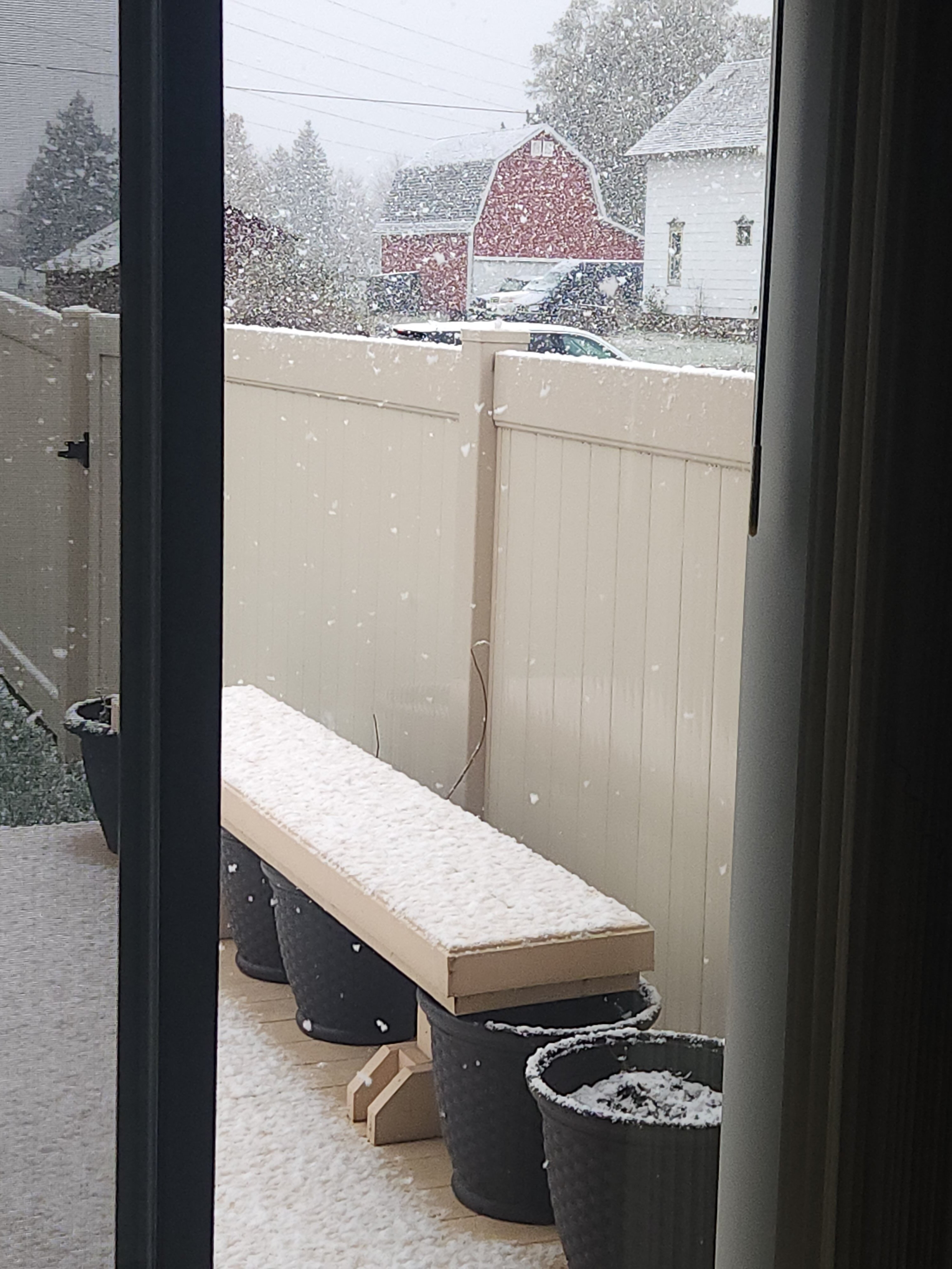
nice lil band with some fatties falling.
-
Winter 2024-25 Medium/Long Range Discussion
Stevo6899 replied to michsnowfreak's topic in Lakes/Ohio Valley
Euro bringing the turkey week potential out in pieces, thus southern sliders and not a more NW strong solution. It'd be nice to cash in early and get off to a rare good start. -
November 2024 General Discussion
Stevo6899 replied to SchaumburgStormer's topic in Lakes/Ohio Valley
good to see yall cashing in, def a good start. Is most of the snow lake effect? -
Obviously still a ways to go but it's definitely rare to see suppression this early. Usually for the Great Lakes region we have to let a few wrapped up storms travel through the Upper Midwest before we gotta worry about misses south. My guess is the nao is tanking during this timeframe.
-
November 2024 General Discussion
Stevo6899 replied to SchaumburgStormer's topic in Lakes/Ohio Valley
Lol literally travels in a circle around detroit -
November 2024 General Discussion
Stevo6899 replied to SchaumburgStormer's topic in Lakes/Ohio Valley
I just hate the days like today. I usually split the year between here and florida. I moved down there a few years ago but my parents live in Michigan and had to move back last year to help mom take care of dad who has passed. Moms going downhill now so I'm here to stay for awhile. The transition into winter through this month and December is the crappy part. Hopefully we can have an active December for once. -
November 2024 General Discussion
Stevo6899 replied to SchaumburgStormer's topic in Lakes/Ohio Valley
I'm a what have you done for me lately kinda guy lol. -
November 2024 General Discussion
Stevo6899 replied to SchaumburgStormer's topic in Lakes/Ohio Valley
This is about the time where I need to head south to florida. These cloudy days definitely affect me too much -
November 2024 General Discussion
Stevo6899 replied to SchaumburgStormer's topic in Lakes/Ohio Valley
Models are just reminding us not to even look at them past 100 hours when it comes to snow.