

ORH_wxman
-
Posts
93,095 -
Joined
-
Last visited
Content Type
Profiles
Blogs
Forums
American Weather
Media Demo
Store
Gallery
Everything posted by ORH_wxman
-
White Christmas Miracle? December 23-24th
ORH_wxman replied to Baroclinic Zone's topic in New England
Def a better run than the last several paltry runs....it has been the low outlier, so good to see some convergence. -
White Christmas Miracle? December 23-24th
ORH_wxman replied to Baroclinic Zone's topic in New England
Well Euro was far less than GFS in central and western areas. It was only a little less in eastern areas this run. I hope the GFS is correct since it’s a widespread 3-5” deal but I’m still fairly skeptical. I think 1-3” would still be my forecast right now. -
White Christmas Miracle? December 23-24th
ORH_wxman replied to Baroclinic Zone's topic in New England
Euro looks like it juiced up a little for eastern areas tomorrow. It also tries to clip E MA coast with the IVT Christmas Eve. -
White Christmas Miracle? December 23-24th
ORH_wxman replied to Baroclinic Zone's topic in New England
Usually a good idea to toss outliers. GFS is just much juicier than most other guidance. If Euro juices up a decent amount then I'd probably be more intrigued. -
Canadian is even more interesting
-
That's a big piled up train wreck in the Atlantic....that's what is causing all these systems to trend colder in the medium range.
-
White Christmas Miracle? December 23-24th
ORH_wxman replied to Baroclinic Zone's topic in New England
Not buying GFS at all. -
White Christmas Miracle? December 23-24th
ORH_wxman replied to Baroclinic Zone's topic in New England
Euro isn't that far off from the NAM solutions either...Euro is slightly juicier but not by a lot. I'd still be going 1-3" for most of SNE. I'd need more proof this system has the juice before putting a 2" floor on the forecast. -
White Christmas Miracle? December 23-24th
ORH_wxman replied to Baroclinic Zone's topic in New England
Yeah and GFS has been pretty juicy as well. -
White Christmas Miracle? December 23-24th
ORH_wxman replied to Baroclinic Zone's topic in New England
Both 3k and 12k are pretty paltry for SNE tomorrow. Would be hard to go more than 1-2"....however, NAM has been on the more paltry side of guidance for several runs now, so TBD if it ends up trending juicier. -
Yeah he’s been on tilt…we’ll get him back if he can muster a decent event this week whether it’s Tuesday or Friday. As for the lack of posts on Friday mentioned by others…it’s kind of hard to speak intelligently on that threat since it’s been moving hundreds of miles within a couple cycles. It would be nice to see some stabilization on guidance.
-
White Christmas Miracle? December 23-24th
ORH_wxman replied to Baroclinic Zone's topic in New England
Your area might try and get a piece of the IVT. But IVTs are thought to forecast. Keep checking back tomorrow on that. -
White Christmas Miracle? December 23-24th
ORH_wxman replied to Baroclinic Zone's topic in New England
I’d keep it at 1-3” for most of SNE and adjust higher or lower if needed tomorrow. There’s a chance there could be a little sucker hole in the middle of SNE as the WAA dies out and the IVT gets going further northeast. We don’t know if that’s going to happen but if it does, there could be an area of 1” type totals. That’s why leave it at 1-3” for now. -
EPS leaning slightly BN at the moment for New Years eve night.
-
White Christmas Miracle? December 23-24th
ORH_wxman replied to Baroclinic Zone's topic in New England
Def could clip that area. That’s where most of the uncertainty is on this. We can quibble about 1.4” vs 3.5” over the interior but I don’t see any drastic changes. -
White Christmas Miracle? December 23-24th
ORH_wxman replied to Baroclinic Zone's topic in New England
Aside from outliers, this has basically been a 1-3/2-4 type event for much of interior SNE for a couple days now. There’s still some uncertainty on whether a little norlun/IVT can develop but my money would be downeast or mid-coast Maine for that. But it’s possible it could sneak down to north shore area too. -
White Christmas Miracle? December 23-24th
ORH_wxman replied to Baroclinic Zone's topic in New England
Def healthier than the previous couple runs. -
White Christmas Miracle? December 23-24th
ORH_wxman replied to Baroclinic Zone's topic in New England
I’m a little skeptical of BL warming that far into interior. 925 starts off pretty damned cold. Like -7ish. It does warm decently but that’s a lot of warming to happen in 6-8 hours to erode the sfc. Def vulnerable in the usual coastal plain spots where southerly flow hurts but up in your area and anywhere else deeper into interior I may hedge a little colder. Esp this time of year with really weak insolation. -
Kind of surprising considering how warm it looked the last two days. Still not totally buying it, but this is clearly a very volatile look. I don’t trust anything out in LR right now given the weird exotic blocking we’ve been seeing showing from time to time.
-
Still no power. Almost 24 hours.
-
White Christmas Miracle? December 23-24th
ORH_wxman replied to Baroclinic Zone's topic in New England
We take OP GFS -
Fighting SE ridge but the big NAO and WPO blocking is an encouraging sign. If we have that heading toward New Years, I’d feel decent.
-
I think model data assimilation and initialization is still going to be a big limiting factor. So I’m not expecting anything crazy awesome in the next few years until that part of modeling is improved.
-
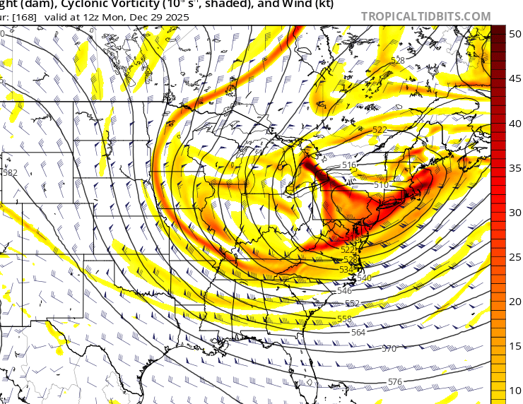
EPS is def at odds with OP run around 12/28.
-
The trend has definitely been warmer post-Xmas. I’d be surprised if we did anything wintry on 12/26….even 12/28 is looking tough. The one plus about today’s Euro run (out to 204 so far) is that it’s starting to go nuclear with both the Atlantic blocking and WPO blocking…so that wound set the stage for a pretty good look as we get closer to New Years. We’ll see how it looks as it keeps coming out.


