ORH_wxman
-
Posts
93,098 -
Joined
-
Last visited
Content Type
Profiles
Blogs
Forums
American Weather
Media Demo
Store
Gallery
Everything posted by ORH_wxman
-
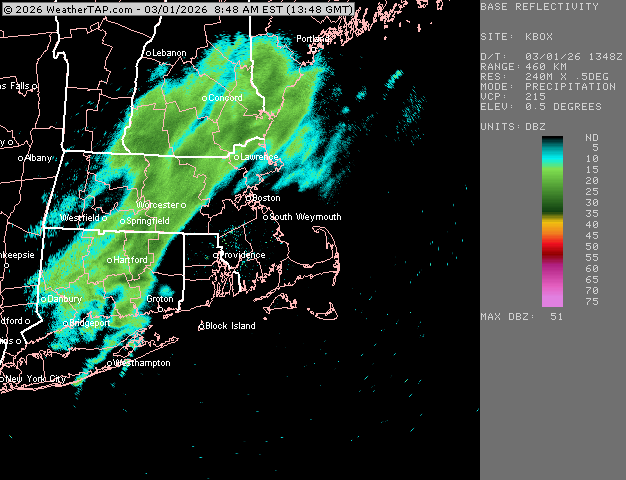
My 1/2 mile reference marker finally got obscured. We pound. Let see if we can pick up a quick 1-2” in this batch before the pingers
-
Not even sure we get a half inch of QPF. We might but the accretion on limbs will be roughly 40% of that if it’s pure ZR….less if you are mixing with IP for a while.
-
Been mostly in a screw zone so far here. A coating when we ripped for a brief time. Looks like it’s about to pick up though and maybe we pound for an hour or two
-
Depends on how you define “delivers”…I’m pretty confident will see some accumulating snow out of that pattern but it could be pennies and nickels or a few hours of a front-ender. If we can get a western ridge to spike, then we’ll have a really good shot at another larger event…but way too far out at this point.
-
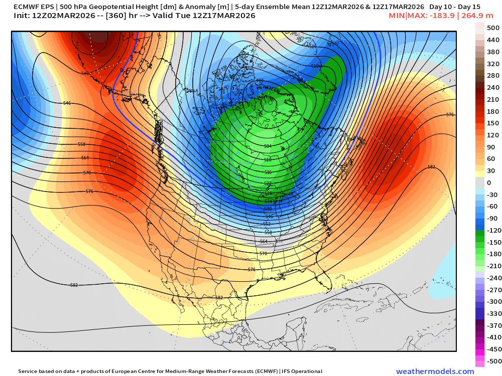
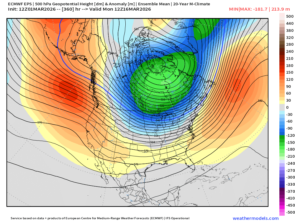
Still a pretty interesting look near and just after mid-month....this is a 5-day mean H5 pattern
-
none of the 25-50 should get into metrowest/495 either…that’s woefully low for that area. Problem is we have a lack of good coops in that region…the little we do have are grossly under measured so it can produce spurious zones like that when we graph averages.
-
Solid overcast here now. 28F.
-
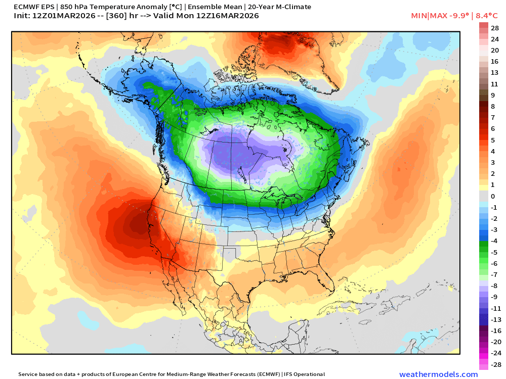
Man, looking at the ensembles, the public is gonna feel some whiplash....potential record highs for a day or two next week (if things break right....but even if they don't, it would still be quite mild)....then that PV presses south and we go back into a winter pattern.
-
PYM county basically doubled their average snow (along with a lot of adjacent SE MA). I better not hear any whining of we get an interior winter soon….otherwise we’re restricting access to those posters so they can only read the Mid-Atlantic forums.
-
Yeah that Holliston site is always low. In fairness, I’ll almost always be higher than them since I’m NW edge of town at higher elevation than most of the town but even compared to rest of town I’ve noticed their numbers seem a little low. I was at 44” before the big dog and I got 19.5” in that plus 1.4” yesterday. So yeah, we’re looking at roughly 65” or so.
-
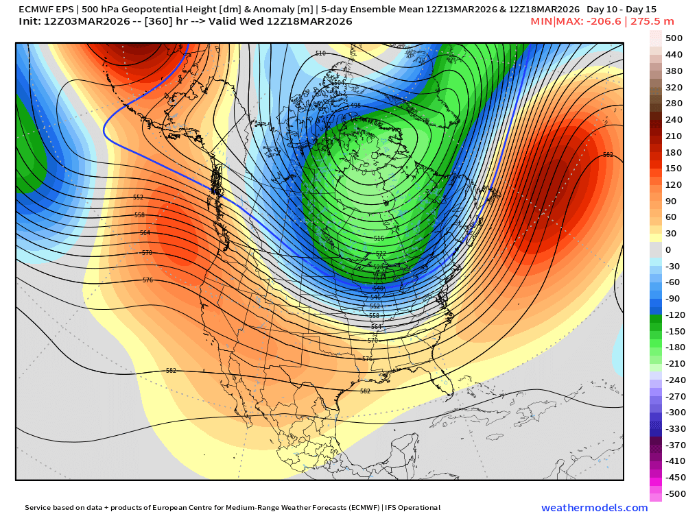
It’s a pretty impressive PV look on the EPS. This is the 11-15 mean 5-day pattern…a clear potent WPO reload pushing that PV southward. It’s why I think we’ll have one last round of chances in the second half of the month. That’s an awful lot of still-fresh arctic air close by to tap into.
-
Best chance for a real torch is if that cutter early next week (around 3/9-3/10) can cleanly warm sector us. Models have been off and on with that. If it’s a clean warm sector, we def would get 70F. I remember we got one in 1990 where we spiked over 80F and then I think we got a warning snow event a week later or less. Of course, we pulled something similar in 2007. It was very warm a couple days before the St Pattys day eve event. Not sure we hit 70 but it was close.
-
If this verifies, this is where we’ll likely have multiple threats during the 3/15-3/25 period. That’s not a rotted out polar airmass. But if it backs off, then no dice.
-
Yep this is where I’m at. Well maybe get a pre-FROPA spike one day but otherwise lots of dirty mildness with some CAD thrown in at times. Pretty much pure garbage for anything useful other than melting back some snow banks…but that can be achieved even in a climo pattern in March when it’s not snowing.
-
Euro had right idea west….glue factory eastern areas.
-
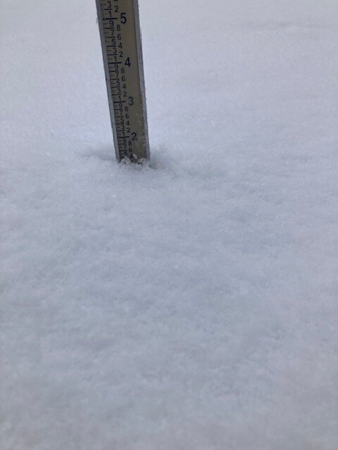
I’m calling it 1.4”…this was maybe 10 min before it ended
-
Let’s get a mid-month icestorm.
-
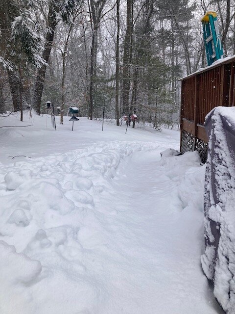
Kids “Olympic Bobsled Track” with a new coating on it. They actually made this by accident due to the deep snow when they tried to sled, it created a depression to form the track and then once they saw bobsled and luge on TV, they decided that’s what their own track was.
- 207 replies
-
- 11
-

-
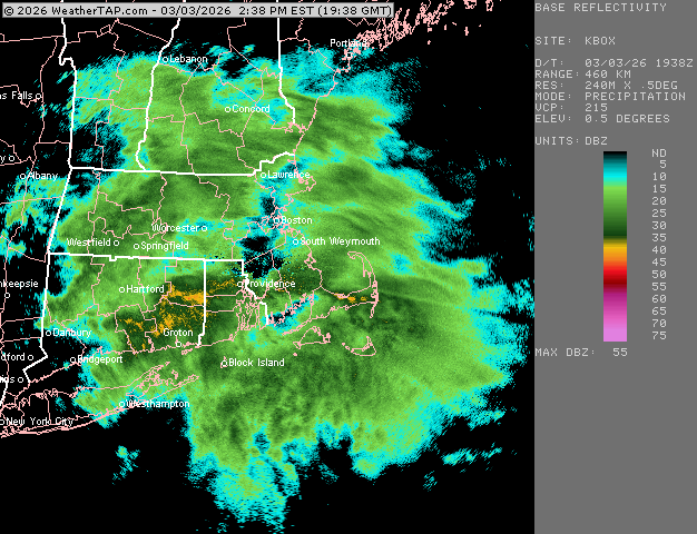
About an inch new.
-
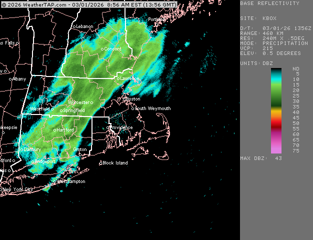
Ripping again in this band. Fun stuff. Too bad we couldn’t slow this down into like a 4-6 hour type event. We’d prob score 5-8”
-
Prob 1-2” per hour stuff right now but it’s gonna lighten up in a few min.
-
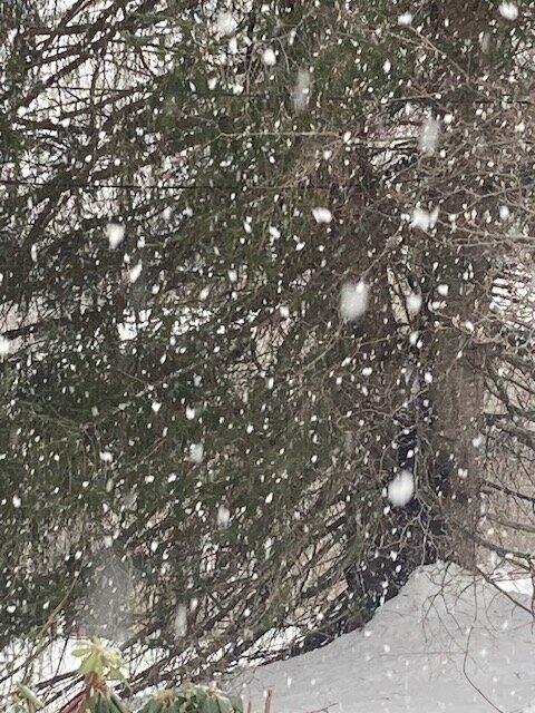
Seeing snow growth like this is always fun no matter how fleeting
-
Pounding now in this band. Sticking to all surfaces including pavement. should ramp up a little more as the best echoes are still slightly west
-
Next week could still spike but I’m always skeptical.
-
Went from nothing to steady light snow in like 3 min. Prob 3/4-1 mile stuff. we’ll see if we can ramp up with that heavier band