ORH_wxman
-
Posts
93,095 -
Joined
-
Last visited
Content Type
Profiles
Blogs
Forums
American Weather
Media Demo
Store
Gallery
Everything posted by ORH_wxman
-
The near-sfc in-situ CAD ZR events don’t accrete on elevated surfaces very well because the drops aren’t supercooled. Literally a few hundred feet up is probably above freezing. Usually when the cold is a bit deeper, the drops become supercooled so they freeze on contact with trees and power lines. In this case, they need some time to glaze, so they drip down and mostly freeze on the ground.
-
37 and light rain here. Starting to get some of the ice melted off the driveway.
-
Up to 32F here now. Doesn’t look like ZR will be a huge factor thankfully. Driveway is already pretty icy from hard packed snow that turned into a glacier so hoping a few hours of 35-40 can take care of that.
-
May he have an entire week’s worth of ARW runs smoking N VT.
-
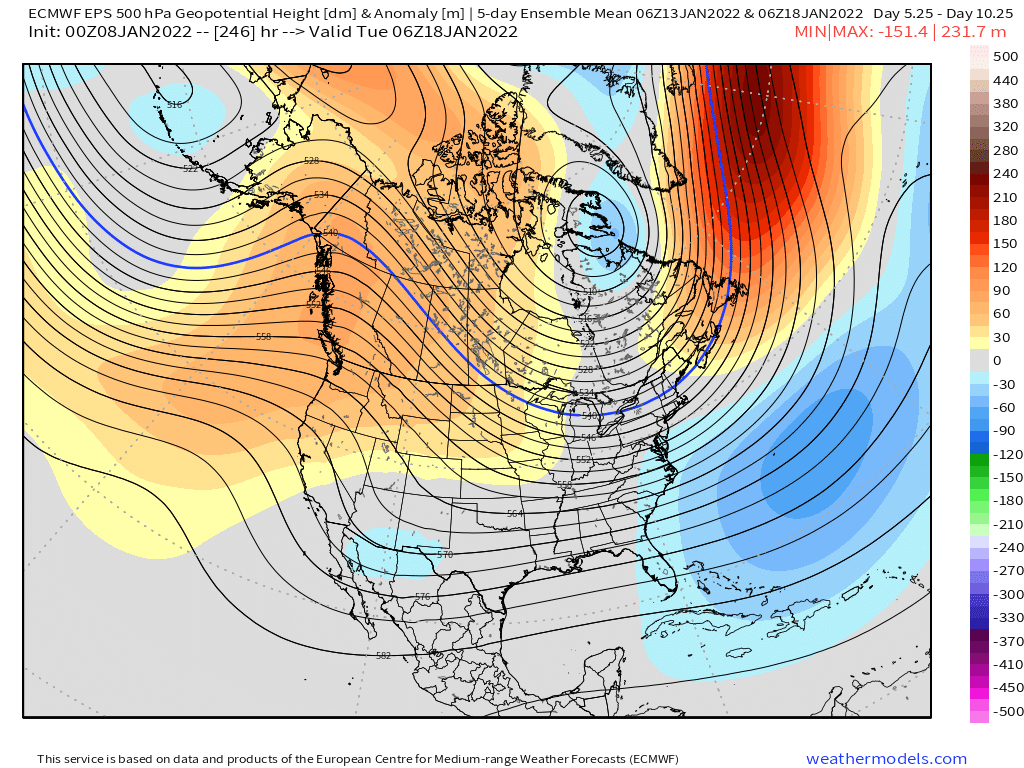
Good animations there. The STJ is an interesting addition recently. It should make things really interesting. Northern stream is still dominant which is good for New England (unlike some years when it’s congrats M.A.) but adding extra STJ moisture could make it more exciting.
-
If you go back another 5 years you get Xmas 2002 also. I remember a couple 40-burgers NW of ALB in that one.
-
I remember they had 40”+ but don’t remember 50. 50” is really hard to get because the compaction becomes a major issue. Even if you clear every 6 hours.
-
You prob wouldn’t get screwed much in a Miller B anyway unless it was compromised like that euro solution…which in that case, it’s not a major event anyway. But that look has potential if we can get a little wave spacing…you can see the Atlantic storm causing just enough interference…but all of this is easily correctable at 7 days out
-
Ray is furiously typing up a blog post about potential ocean enhancement on the south shore.
-
Not the same exact map but you can find very similar ones here: https://www.ncdc.noaa.gov/snow-and-ice/rsi/nesis
-
Here you go…this should clear up any uncertainty:
-
That was a really nice looking euro run even if we didn’t get totally buried. You can see all the opportunities there. I do not think it will be a boring week of model watching coming up.
-
Scooter jackpot that run? Ray is all warm and fuzzy inside now ready to hammer out a blog post.
-
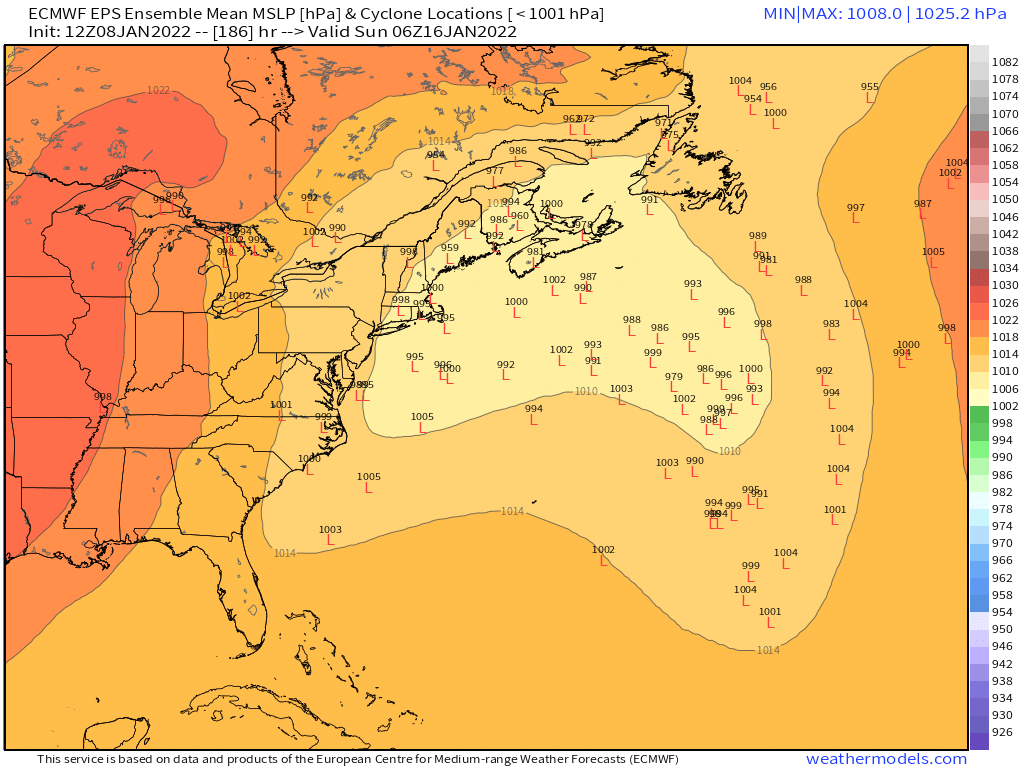
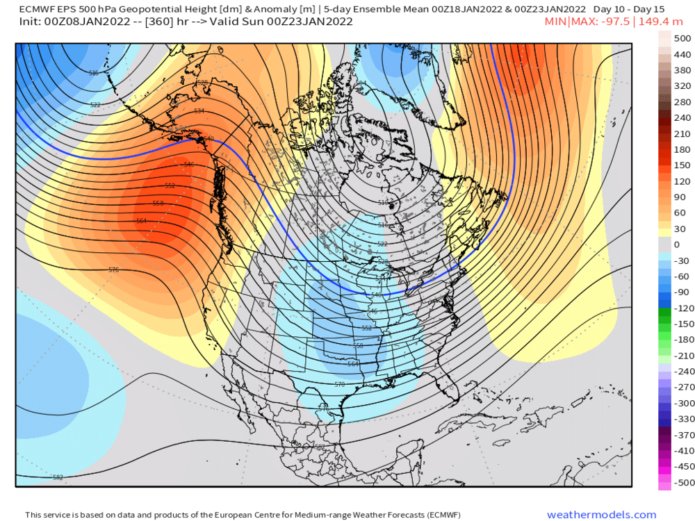
Euro cooking up a Miller b for next weekend. Id also watch that Thursday clipper. It has some room to amplify more on guidance. I know Tip and I have mentioned it a couple times but sometimes those are sneaky when everyone is looking ahead past that date. Low probability but you could see aloft how it wouldn’t take much to change it.
-
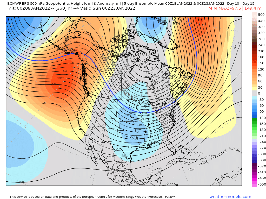
All joking aside, I’d be pretty surprised if most of New England doesn’t get a few good events in the next 2-3 weeks just looking at the pattern.

-
Yeah you can tell jspin and the VT crew is secretly ready to melt if there aren’t any big ticket upslope events soon or a huge QPF base builder. A coastal that croaks NH and ME but doesn’t stall up near CAR might put them over the edge.
-
Lol you knew jspin would bite on the scooter post.
-
Jan 2019 was pretty legit. Coldest max high at ORH since Jan 1994. Last year I think many of the rad spots went below 0F pretty easily but ORH had a low of 0F. Second year in a row not breaking 0F. Last time that happened I think was the 2000-2001 and 2001-2002 winters.
-
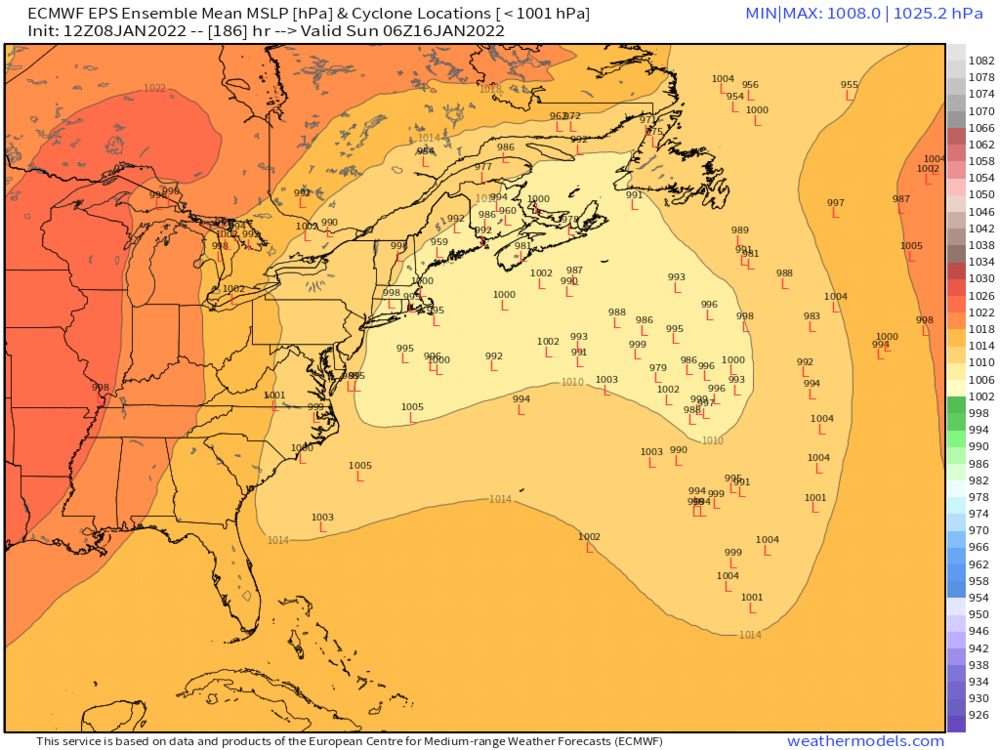
Ensembles looked a bit more bullish last night…but yeah, can’t really say much else when it’s 7-8 days out. Maybe an outside chance at something Thursday/Thursday night too. Some of the guidance actually had a storm offshore but the onshore flow was causing OES on the south shore…Ray might want to fire up a blog post about that.
-
Jan 2005 was. 2015 was more capturing a storm trying to escape to Bermuda and slingshotting it up east of the Cape.
-
I think there’s truth to both theories. We know for a fact that even in places where 6 hourly measurements were occurring 40-50 years ago (like ORH for example), the number of large storms has increased quite a bit. So we can’t just blame it on measuring technique. But our ability to observe snowfall remotely has increased incredibly since even 30-40 years ago so narrow jackpots are much easier to find/identify now.
-
It was an interesting event and one I’ll want to look over in more detail the next few days. The PVA was really strong and in an almost perfect spot to maximize lift which undoubtedly helped take advantage of that strong ML fronto….but we never were able to get the conveyors cranking which is too bad because it prob would’ve been widespread 8-12 with 18 lollis if it did…but we have no room to complain where we are considering how well we did. And while I understand eduggs’ sentiment on convective feedback, it is a real thing that we’ve seen happen. Even on short lead time, but usually you won’t have every single model showing it at 24 hours if it’s spurious. However, the convection can still be real but the models are overdoing the conveyor disruption…and that is really more what was being followed last night rather than hoping the convective feedback was mostly spurious. It’s not necessarily a binary event. If the convective interference was being overdone by even 30 or 40%, then that would matter.
-
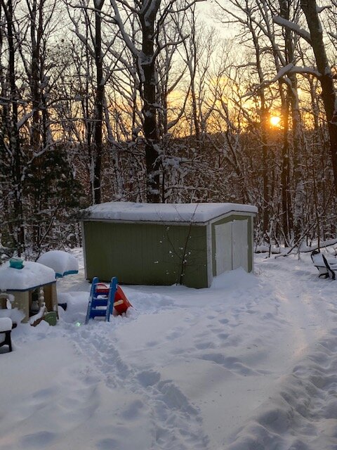
Sunset to finish today. Perfect timing too. Sun only popped out in the past hour
-
That happened to me shoveling at the end....I was wasting a bunch of time figuring out what was wrong with my snowblower that by the time I was shoveling at the end, things were starting to compact a little bit. The first 75% I shoveled was blower powder but then near the end it was seeming a little denser with having more trouble scraping the bottom layer off the driveway.