

ORH_wxman
-
Posts
93,095 -
Joined
-
Last visited
Content Type
Profiles
Blogs
Forums
American Weather
Media Demo
Store
Gallery
Everything posted by ORH_wxman
-
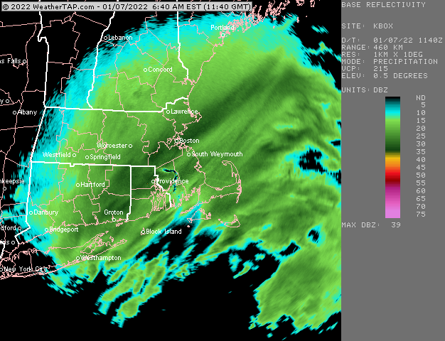
Yeah its 00z and 12z from what I have seen.
-
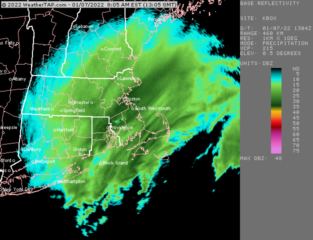
Echoes starting to intensify across the board now....wonder if we're getting a little inflow now before this exits to give one last hurrah
-
Tropical tidbits has it too...but not sure how fast it updates...it's usually up though before the RGEM comes out so its not too bad.
-
Band quasi-stationary over you
-
Scooter getting crushed right now Some less intense bands though continue to develop off to the west.
-
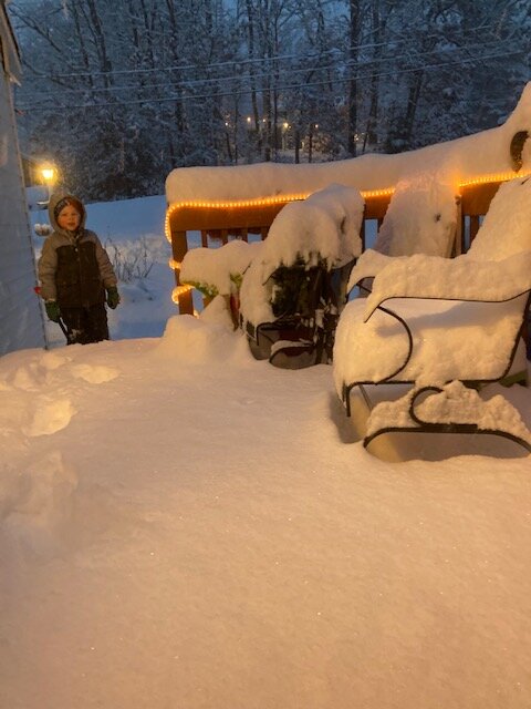
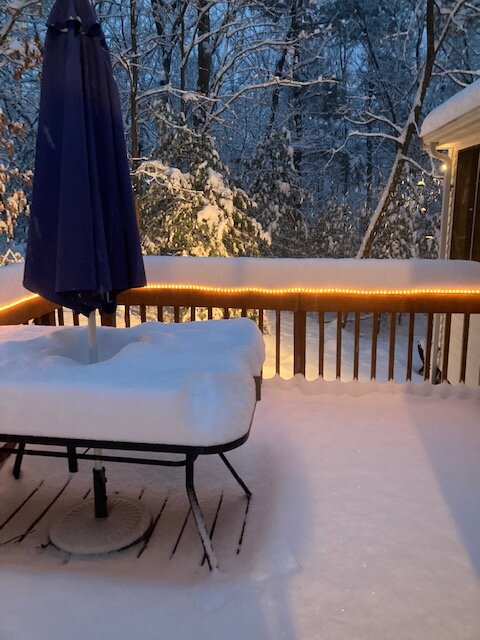
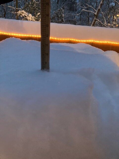
At 9” now. Definitely way less intense than earlier. Took over and hour to go from 8” to 9” once that band slid SE
-
Some better bands trying to develop west near ORH now
-
Banding setting up now more in the Foxborough region down toward BOX
-
Over 8” now
-
Little mini-CF near you right now. Looks like it’s 29F not far to your west near Braintree/Randolph.
-
Just eyeballed at least 6”. Could be more. I’ll get outside in about 20 min and do a real measurement. The farm in Sherborn must be getting hammered.
-
This fluff band is like 2/7 last year and 2/7/03.
-
No I’m in Holliston. Pounding here right now. I’ll be in ORH later today actually.
-
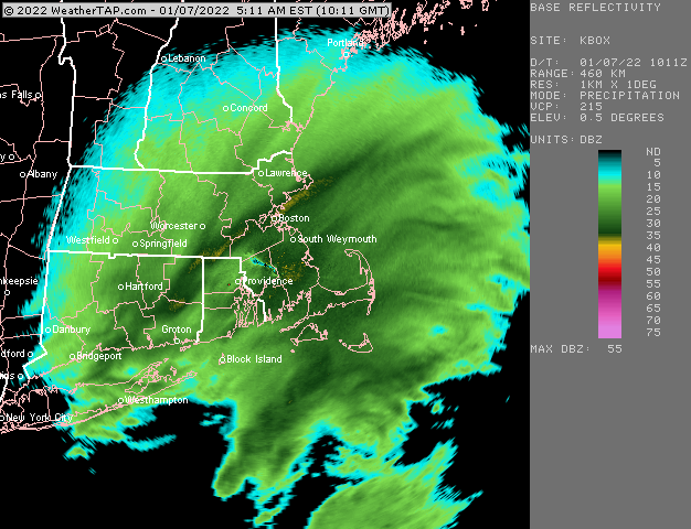
That northern and southern band merged over BOS. They are getting annihilated.
-
You’d prob have a shade more in Southborough too since you were flirting with the northern part of that band more than he was. I’ve been in it for almost an hour now and it’s just crushing.
-
Crushage right now. Looks like incoming from the south too for scooter and Jay.
-
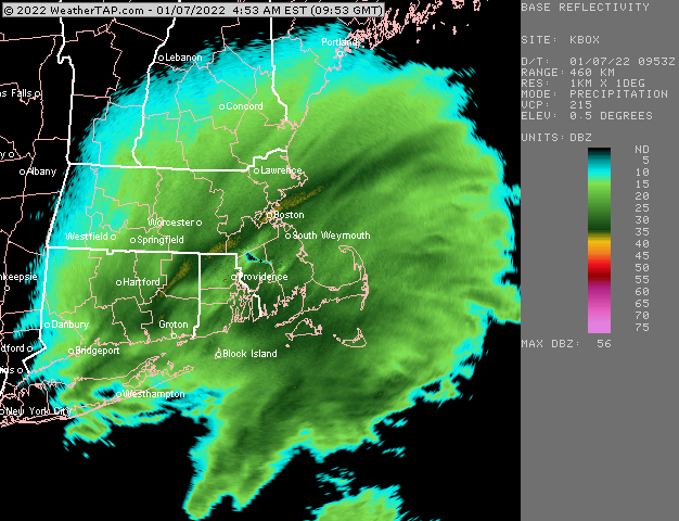
I’d love to know what Logan has…that band sort of redeveloped back over them. They’ve been getting ripped for about an hour now.
-
Eyeballing at least 4” now. I had reported eyeballing 2-2.5 about 30-35 min ago so we’ve had at least 1.5” in the past half an hour in this band.
-
Wow you got 10+ in the 2/7 storm last year too. Gonna get a little more in that this storm. Nice!
-
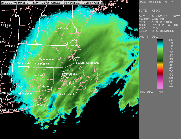
We’ll have to watch that a little bit later. Inflow tries to get going right before it exits and it could re-enhance the returns over eastern areas mid-morning for a few hours.
-
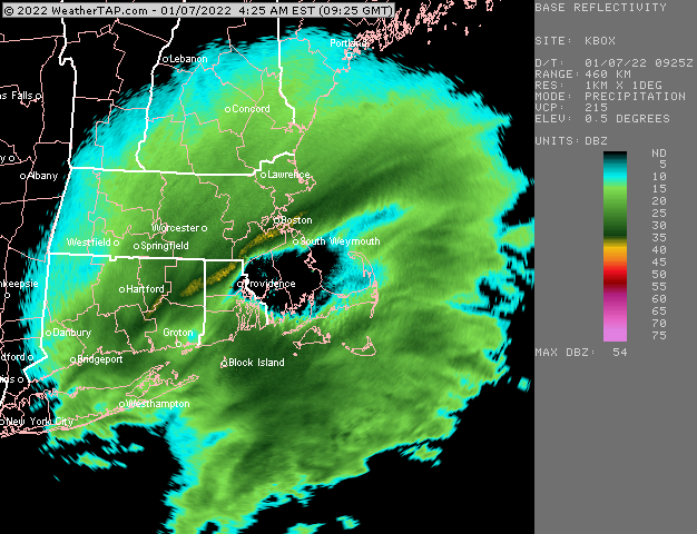
I’m just on the NW edge of this yellow band…it’s crazy
-
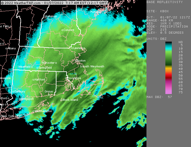
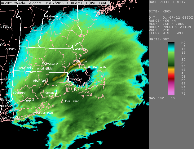
Easily nickels and quarters in this band…they are the classic “hooked dendrites” making those aggregates and they are stacking up with very little wind. It’s probably 20+ to 1 in this band right now.
-
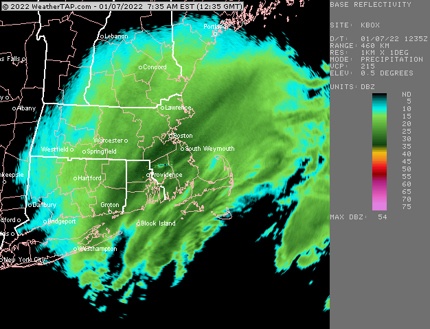
Absolute rippage now…really starting to light up on the south shore now too. They’ll play catch-up
-
Always good to see these obs again KBOS 071000Z 35007KT 1/4SM R04R/2000V4000FT +SN FZFG VV004 M02/M03 A2978 RMK AO2 P0001 T10221028 $
-
Eastern areas may have a surprise or two between 12z and 16z or so too…some of the guidance tries to enhance the precip before it exits eastward…as a response to the intense vort smashing up into the cape area.

