

ORH_wxman
-
Posts
93,099 -
Joined
-
Last visited
Content Type
Profiles
Blogs
Forums
American Weather
Media Demo
Store
Gallery
Everything posted by ORH_wxman
-
Snowing pretty good right now. Maybe 3.5-4”
-
Last warning on your ad hominem bullshit before just suspending you. I told you before we are a pretty tolerant bunch but you have crossed the line again.
-
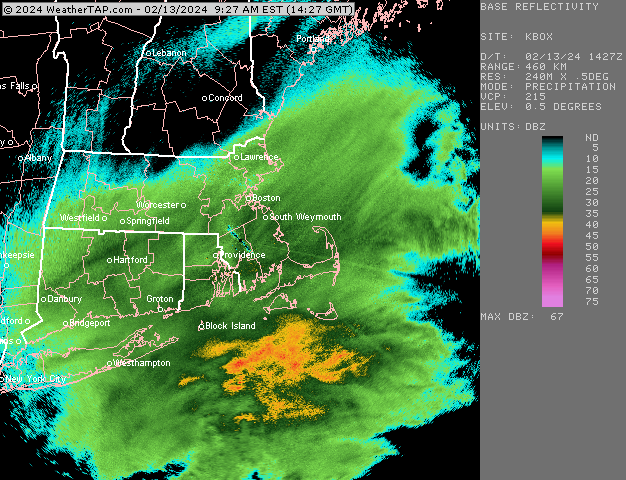
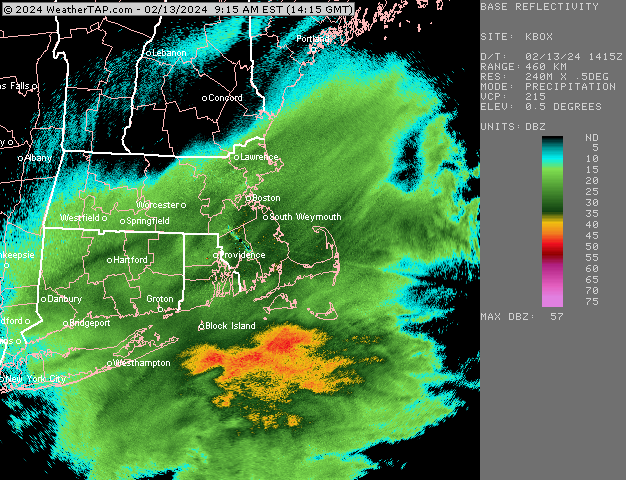
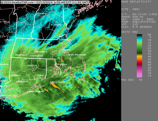
There is definitely some residual warmth in eastern areas that further SW in CT was able to overcome....even here near 495 with some elevation, we're pretty wet with the snow and it's not accumulating like you would normally expect with these echoes.
-
I think it's now or never for your area over to the 495 belt E of you near me. Really picking up here again now and you can see all the echoes darkening....this is prob the final push of fronto....hopefully we can get a good 2-3 hours but we're trying to hold off that northwest edge trying to sick SE.
-
That's crazy they have less than inch. Millis is pretty low though...most of the town is like 100 feet ASL. My extra 250-300 feet is def helping some.
-
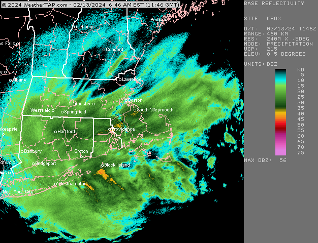
We were in a little mini-sucker hole you can see on the loop but it has filled in and we're picking up now
-
Looks like about 3" of mashed potatoes....we haven't had the rates that CT has had though, so it is going to need to pick up if we're gonna salvage warning criteria.
-
Cape might get crushed later this afternoon. The meat of that CCB gets them and they could see over an inch of QPF easily from here on out.
-
Ripping now. 32F and maybe just shy of 2" down. Should be able to stack pretty efficiently now if these rates and growth keep up.
-
No it had like 15”+ up by Ray for a couple runs prior lol
-
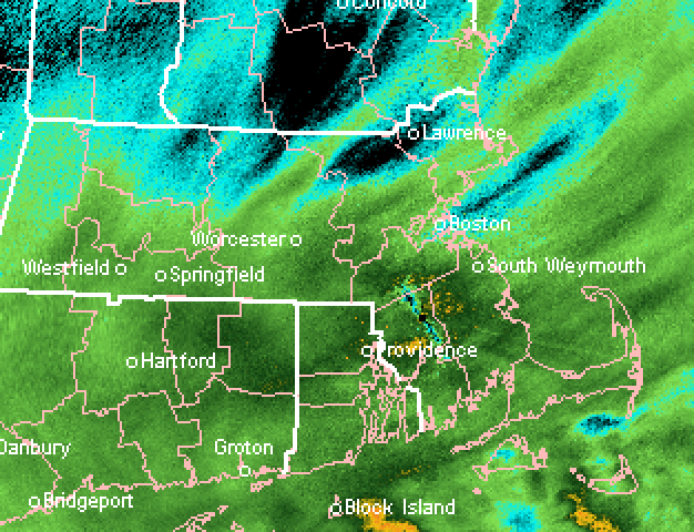
Looks like there is a mini-CF along 128. Lots of 36s and 37s just east and 32s/33s west.
-
I think you’re gonna beat 3”…I’m starting to get into heavy snow now with that band just about here and the stuff to the west looks pretty healthy it’s going to collapses ESE at some point but that shouldn’t happen until closer to midday
-
If you had to pick a “winner”, the RGEM is a good candidate. In an absolute sense it still struggled but it had the smallest swings compared to other models and I don’t think it showed a whiff inside of 48 hours like the Ukie did multiple times.
-
Interior SE MA for sure will clean up…it’s gonna be close where I am right on the pike (technically a few miles south)…radar def looking better with each passing frame. If I crack 6” I can’t be too disappointed after yesterday, but I won’t lie that it will be a little annoying if I get like 7” and someone not too far SE gets over a foot.
-
What an eye-gouge
-
Def started off mild here in the 34-35F range at the onset but temp has finally dipped to 32 on the nose.
-
Bands picking up strength along the pike S of ORH and back to CEF area…let’s keep that cranking for the next few hours
-
There isn’t a single model that did a good job in this system.
-
About an inch down so far. Good snow growth and picking up a bit now.
-
Gonna be close here whether we get big rates or not. Ita snowing good right now but would like to see another nudge north on the echoes…they are trying
-
Certainly S of pike looks like they may be in business. Not sure about right near the pike around here yet
-
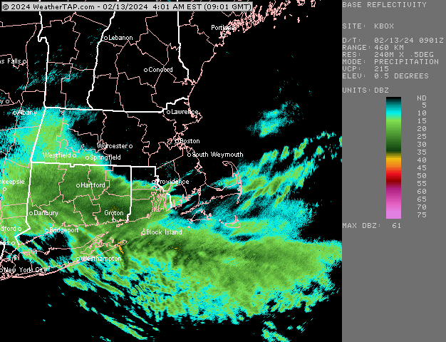
Nice band for CT right now
-
The pope predicted this to be a rainstorm.
-
He was forecasting no confluence 2 days ago.


