-
Posts
93,092 -
Joined
-
Last visited
Content Type
Profiles
Blogs
Forums
American Weather
Media Demo
Store
Gallery
Everything posted by ORH_wxman
-

“Cory’s in NYC! Let’s HECS!” Feb. 22-24 Disco
ORH_wxman replied to TheSnowman's topic in New England
I agree with all of this as the transition started happening when I was still forecasting full time. The older SREF suite definitely seemed to handle east coast cyclogenesis better so they had a decent amount of utility in those types of storms. I remember they were hammering some of that banding in the Jan 2011 storm too and eventually most of the other guidance converged to them. I’ll also say they used to perform exceptionally in the SWFEs too. I used them constantly in the 2007-08 and 2008-09 winters with excellent results. Obviously the newer SREFs are superior to the older ones in many other areas, but it came at the expense of one of the more important types of event we forecast for in this part of the county. -
Weenie flakes here. Won’t pick up additional accumulation but it’s been off and on all day.
-

“Cory’s in NYC! Let’s HECS!” Feb. 22-24 Disco
ORH_wxman replied to TheSnowman's topic in New England
yeah seems a little light. You want to include some realistic upper bound in there like 18-20”….obviously it could be higher too but at least go up to the 75% range. -

“Cory’s in NYC! Let’s HECS!” Feb. 22-24 Disco
ORH_wxman replied to TheSnowman's topic in New England
That was ridiculous and one of the worst busts in recent memory. Though I’ll also say that those forecasts from OKX seemed a little crazy…I remember at the time we were all kind of wondering why so much faith in Euro…despite it being the best model. Lot of other mesos like the RGEM (which really nailed the death band) showed potential issues to the west. I don’t think any models showed 7” of snow there but some of them were more like 8-14” or so. Could’ve split the difference and went 1-2 feet and it wouldn’t have felt quite as bad. -

“Cory’s in NYC! Let’s HECS!” Feb. 22-24 Disco
ORH_wxman replied to TheSnowman's topic in New England
Anyone SE of an ASH-HFD axis doesn’t have much to worry about unless youre being greedy and demand 2 feet. -

“Cory’s in NYC! Let’s HECS!” Feb. 22-24 Disco
ORH_wxman replied to TheSnowman's topic in New England
Wasn’t done yet either. -

“Cory’s in NYC! Let’s HECS!” Feb. 22-24 Disco
ORH_wxman replied to TheSnowman's topic in New England
Reminds me of the hesitancy prior to October 2011 storm. That one ramped up close too and it had the added stigma of being so early which caused a lot of procrastination on the warnings. This is nuts on the models…people should be warned for this one. -

“Cory’s in NYC! Let’s HECS!” Feb. 22-24 Disco
ORH_wxman replied to TheSnowman's topic in New England
Im Honestly surprised they don’t have it all the way back to at least ORH county and most of CT E of the river at minimum. -

“Cory’s in NYC! Let’s HECS!” Feb. 22-24 Disco
ORH_wxman replied to TheSnowman's topic in New England
I think amounts could be similar with higher upside in the jackpot areas. The wind will be far bigger though and cause a lot more drifting. -

“Cory’s in NYC! Let’s HECS!” Feb. 22-24 Disco
ORH_wxman replied to TheSnowman's topic in New England
Not even sure that’s heavy enough for euro/rgem. Very conservative inland. -

“Cory’s in NYC! Let’s HECS!” Feb. 22-24 Disco
ORH_wxman replied to TheSnowman's topic in New England
-

“Cory’s in NYC! Let’s HECS!” Feb. 22-24 Disco
ORH_wxman replied to TheSnowman's topic in New England
Lol you’d care if it showed 30”+ for you. I agree it’s not the North Star but it still guidance with good skill overall and you never know if it will regain its mojo as we get closer. Reggie looked like the euro too…just a little east. So it’s not like it’s by itself there. -

“Cory’s in NYC! Let’s HECS!” Feb. 22-24 Disco
ORH_wxman replied to TheSnowman's topic in New England
Prob a Cape to SE MA/RI jackpot on that run. Still an impressive look though overall but not quite as crazy as 06z. -

“Cory’s in NYC! Let’s HECS!” Feb. 22-24 Disco
ORH_wxman replied to TheSnowman's topic in New England
And in your current spot, it was over 30”. Much of the Cape was 30+ in that one with 3 foot lollis. -

“Cory’s in NYC! Let’s HECS!” Feb. 22-24 Disco
ORH_wxman replied to TheSnowman's topic in New England
This one is definitely a threat. My guess is it falls short of 2005 for SE MA but you never know. There’s a lot of QPF and a lot of inflow and I’m definitely “concerned” (as in there is a lot of upside) with the way H5 deepens so rapidly to our south which causes some serious potential for instability getting advected in aloft. -
Impressive little cold tuck offsetting late Feb insolation. BOS has dropped a few degrees down to 28F. Same temp here with some weenie flakes falling.
-

“Cory’s in NYC! Let’s HECS!” Feb. 22-24 Disco
ORH_wxman replied to TheSnowman's topic in New England
Maybe some shrooms? -

“Cory’s in NYC! Let’s HECS!” Feb. 22-24 Disco
ORH_wxman replied to TheSnowman's topic in New England
Yeah he mentioned shut down through Friday with the additional snows. -

“Cory’s in NYC! Let’s HECS!” Feb. 22-24 Disco
ORH_wxman replied to TheSnowman's topic in New England
I think ORH is in as good as a position as anywhere for a great band or two. I’d expect something like 15-25” for a forecast there. 1-2 feet at minimum and you could make a case for Ray’s 18-30”. Being on the east side of the spine there will be an advantage in this storm. It sort of “protects” them a bit more from the dry air intrsution that could try and sneak down the CT valley if you get a situation like Jan 2015 where the real meat of the CCB is a bit east. -

“Cory’s in NYC! Let’s HECS!” Feb. 22-24 Disco
ORH_wxman replied to TheSnowman's topic in New England
Seems to be recovering by 48 to basically same position. -

“Cory’s in NYC! Let’s HECS!” Feb. 22-24 Disco
ORH_wxman replied to TheSnowman's topic in New England
GFS looks a little SE of 06z through 30, but it’s kind of on the Noise level. -
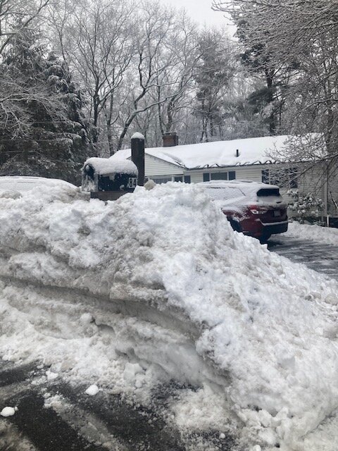
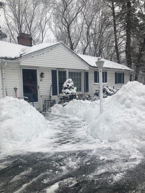
2.3” of snow. This is crazy dense stuff. It looks like we got way more than that. Prob like 5 to 1 ratios in this. This might look a little like 2015 if we get 20”+ on Monday.
-

“Cory’s in NYC! Let’s HECS!” Feb. 22-24 Disco
ORH_wxman replied to TheSnowman's topic in New England
I was noticing that just a few min ago looking at soundings. Deep DGZ on just about all guidance. Interior death band could produce some ratios. Won’t be Dec 2020 style but even in storms like Feb 2013, there were at least decent ratios despite the wind. Closer to the coast it’s probably just just too windy. -

“Cory’s in NYC! Let’s HECS!” Feb. 22-24 Disco
ORH_wxman replied to TheSnowman's topic in New England
I think this would have to trend a couple ticks east to be more like Jan 2022…it’s always possible but it seems unlikely this close in given the way all the guidance looks. -

“Cory’s in NYC! Let’s HECS!” Feb. 22-24 Disco
ORH_wxman replied to TheSnowman's topic in New England
Yeah can’t rule out some 30-burgers. Someone gets stuck under a death band will likely see it.


