baltosquid
-
Posts
597 -
Joined
-
Last visited
Content Type
Profiles
Blogs
Forums
American Weather
Media Demo
Store
Gallery
Everything posted by baltosquid
-
FWIW, CMC h5 early on is a good chunk SE/faster. Would do a lot for my optimism for a good metro thump if a model that’s been so stubbornly gung-ho about Hagerstown-Harrisburg as of late lightens up on that a bit.
-
GEFS really clustering the lows just SW of OBX at 84, so pretty much the same as 06z but higher confidence. The h5 look is stronger and a little slower though so I think it’s gonna be an adjustment W/NW. Not horrible or anything, just looks to continue emphasizing that any fully offshore path is either out the window or just about climbing out. Still room for a track east of the bay though.
-
The flow in front of the low on h5 just looks like it’s so S/N oriented that the storm is still locked in for a hard turn n/nw.
-
Well the spacing between the ocean low and our storm seems to keep getting smaller, for what it’s worth. So far, at least.
-
I’m surprised they brought the impact all the way down to the minimum for the I95 corridor. I know to an extent it’s relative and they only have three levels of impact, each of which is taken by areas deserving of the higher impact warnings, but idk, if a warning level snowfall and some sleet too is still on the table for the corridor then that seems like an odd choice. edit: I guess if impacts are mostly happening Sunday evening it makes more sense
-
Looks like EPS is either about the same or very marginally east, but wider spread. Certainly got back some members taking the coast track. But overall still too far inland on the mean to be comforting. edit: later frames look more like taking the path over Philly rather than Harrisburg on the mean which is nicer, so that’s good to see.
-
That's the big thing, focusing on track and tunnel visioning on the chances that the low either ends up east of the bay or in Cleveland is foolhardy. Take away 1-3 degrees in the lower parts of the column for as little as a couple hours and suddenly everyone west of the bay is looking at a potential warning or better level event. That's a good event, especially with what looks like a good pattern for the rest of January. We don't need a blizzard, just juice the thump and avoid the slop by getting put in the dry slot once we torch and this will be nice.
-
RGEM is interesting. A good bit faster/further east with the mid level stuff but also much stronger. Cuts off earlier than would be preferred. Not smart enough to extrapolate that out to game time, but my rough guess is not an earth shattering improvement.
-
At 84 on h5, looks like the ocean low is stronger and further West while the main event is in about the same spot and a tad weaker. Seems like it’s gonna be similar or maybe slightly better for us?
-
The whole thing is just getting slower, slower, slower. It keeps backing up run over run into the energy behind it. Spacing is too much in front and becoming too little behind. Nothing has broken that trend. Hard to see it doing so at this stage but there’s always “the wave isn’t on shore yet” to fall back on I guess, for a little longer.
-
Massive drop in confidence for this timeframe on the ensemble... I'm a little worried that could presage a shift in thinking on the GEFS that has it cave to the OP in coming runs, but I know that's not necessarily the case and inter run changes in certainty shouldn't be anything to get hung up on. Just weird to suddenly get so much more spread.
-
Low position on the GFS is still riding the absolute most NW portion of the GEFS envelope.
-
ICON looks slower and much further from creating cutoff low through 108 than it did at 12z. Just much weaker overall. 10mb higher MSLP. Probably closer to some of the earlier southern solutions but since it is slower, increased interaction with the trailing northern piece could counteract some of that and bring it north. Probably a much more moderate event if not a total miss to our south.
-
Spoke too soon, rug pull in the end with a sharp pull nw at the last minute. Not as crazy as the GFS but probably ends up with lots of ptype concerns for the beltway. Probably real nice west of the fall line though. Don’t have ptype maps yet to see clearer however.
-
GEM has it tilting neutral a bit late but it looks pretty damn good so far on h5/vort through 126
-
Operational GFS is definitely riding the NW edge of the ensemble envelope of solutions. If you’re optimistic that means plenty of room to adjust to less of a cutting solution, if you’re pessimistic that means the op is leading the trend.
-
Gonna be sweating surface temps with that track even with cold leading in.
-
Much of the Carolinas and southern Virginia destroyed, CAPE is in heaven and the northern crew is apoplectic. Definitely gonna happen, right? Edited with more complete snow map.
-
If one of the models spits out a harsher cutoff at some point today, I think the board will go (more) insane.
-
We’ve got decent ensemble support from the euro on the 24h snow charts. By my count, 31 members have some snow for us, with an average of 2 inches. Not bad at this stage.
-
That squall line is a beauty, isn't it? Only a model, but what a fantastic structure. Btw, 3km coming in looks maybe lower pressure. But I know the 3km can sometimes end up over doing that.
-
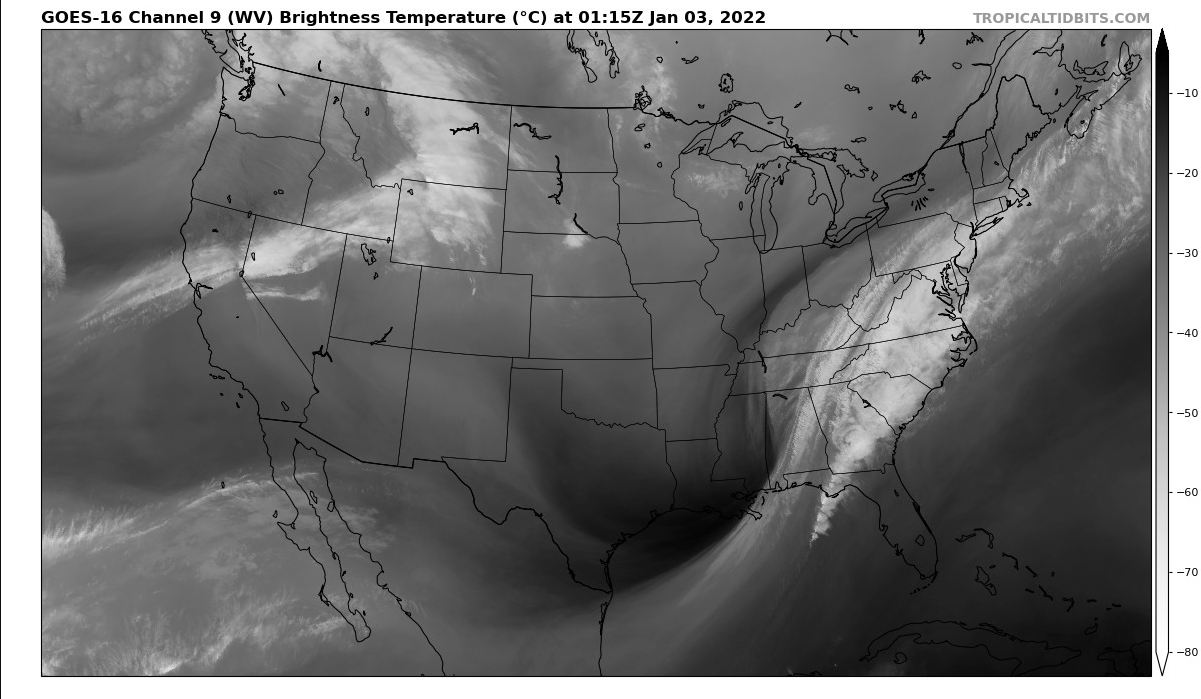
That's certainly an impressive trend on the HRRR but I'd really like to see our prodigal son, the NAM, act the same way in the next hour. Here's the vapor status. Looks neutral or negative to me but my eyes are not those of experts.

-
Optimistically, a NW shift/precip improvement like that on the 3k this close to kickoff is a good sign for those abiding by the old last minute NW tick logic. Pessimistically, it could be seen as just bouncing between the goalposts of 06z and 12z and zeroing in. Really interested in what the RGEM has to say, if another meso starts doubting the GFS/euro I will be more worried.
-
3km looks better, more NW, healthier shield. Brutal cutoff line north of 95.
-
12km NAM coming through now. Still only out to 14 hours for me. h5 early on maybe looks marginally better but doesn't look like a huge adjustment as of yet. Axis of the shield looks a little flatter though which could contribute to a harsher cutoff line. We shall see in the rest of the run and the 3km.