Cary67
-
Posts
1,572 -
Joined
-
Last visited
Content Type
Profiles
Blogs
Forums
American Weather
Media Demo
Store
Gallery
Everything posted by Cary67
-
Another spoke of rain; another miss.
-
I've seen this hole on a mini putt course
-
Another close miss
-
If this continues drought monitor will make an appearance
-
Spring 2023 Medium/Long Range Discussion
Cary67 replied to Chicago Storm's topic in Lakes/Ohio Valley
My expectations are you should be able to put plants in the ground and not worry about mid to upper 20s revisiting. The days of low 40s and rain are hopefully done but still expect rain and low 50s. More days in the 60s and 70s but full time shorts temps not till after Memorial Day. -
Looking to plant some stuff by next weekend.
-
Switch will flip from 50s-60's to 70s-80's last week in May. Memorial day weekend marks the general period we start to have summer like pleasant weather. That lasts about 3 weeks till late June when 1st heat waves usually show up.Heat backs off and turns pleasant again in September. Then first true fall cold front comes around third week of September as a reminder that summer is on its last legs. Nice fall temps till around Halloween then the inevitable decline into the predominant 40s or lower from Nov till the following April.
-
Spring 2023 Medium/Long Range Discussion
Cary67 replied to Chicago Storm's topic in Lakes/Ohio Valley
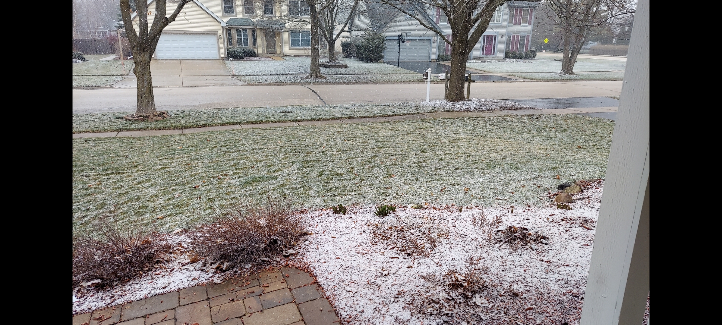
More snow this morning. Need to move Xmas to late April or early May -
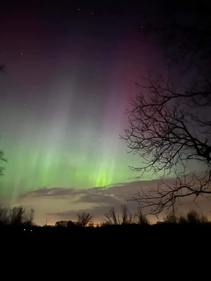
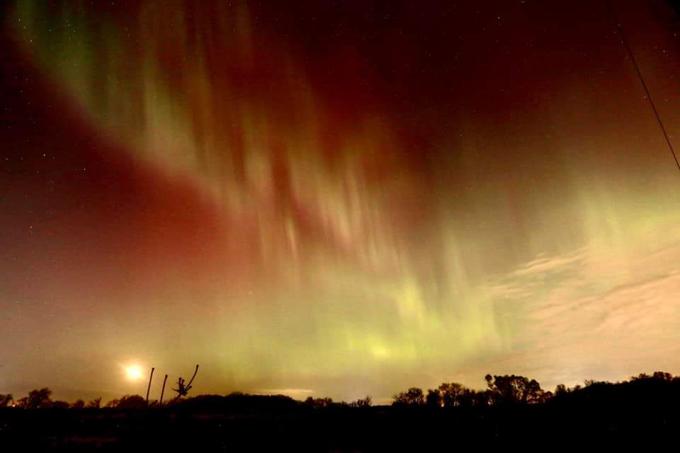
Up near Volo in Lake County after skies cleared a bit. Also one taken in Richmond IL

- 512 replies
-
- 10
-

-
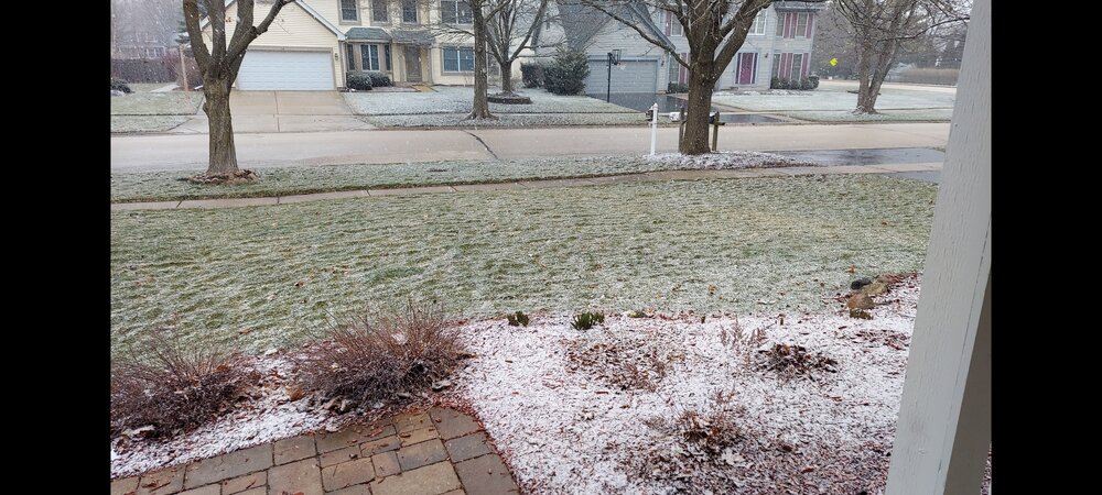
Snowing here
-
Spring 2023 Medium/Long Range Discussion
Cary67 replied to Chicago Storm's topic in Lakes/Ohio Valley
That does happen but I was referring to relief from hot spells in the 90s with high humidity and 70+dewpoints. We frequently drop back into the 80s or even upper 70s with lower humidity whereas areas further south like St. Louis the front never really gets there. Also spared the intense heat waves most years that TX and the SE endure -
Spring 2023 Medium/Long Range Discussion
Cary67 replied to Chicago Storm's topic in Lakes/Ohio Valley
This weekend's(most of next week also) spring weather is payment due to actually have cold fronts make it through our area in the summer. -
Planting season so close
-
Was camping at Mirror Lake State Park during that heat wave. We went to bars in the Dells every night for the air conditioning.
-
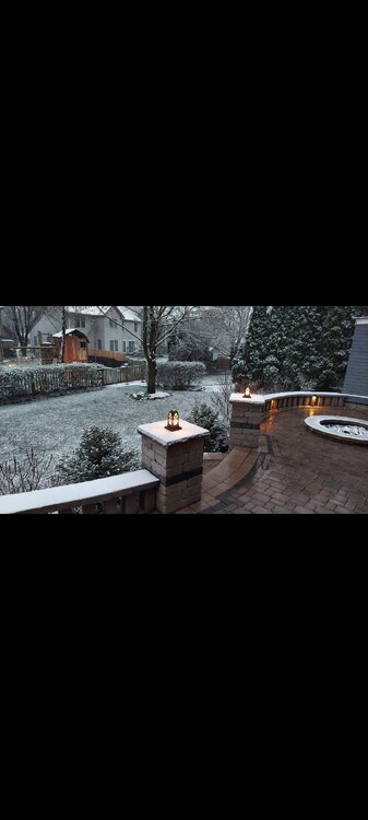
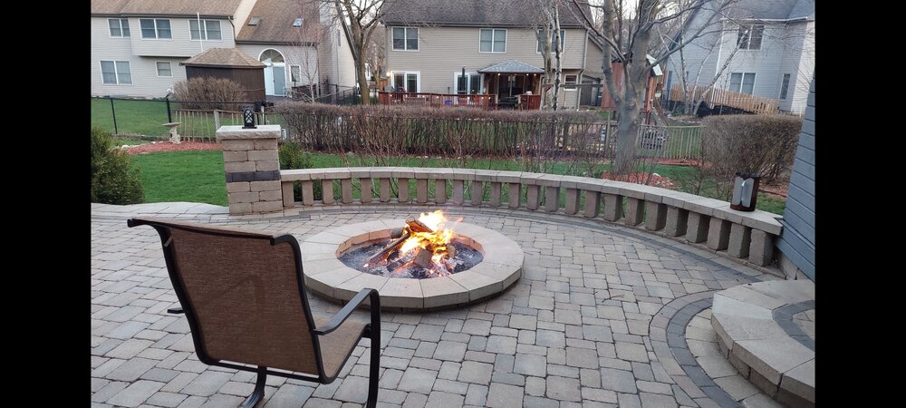
First firepit of the season. Definitely heralds the arrival of Spring!!
-
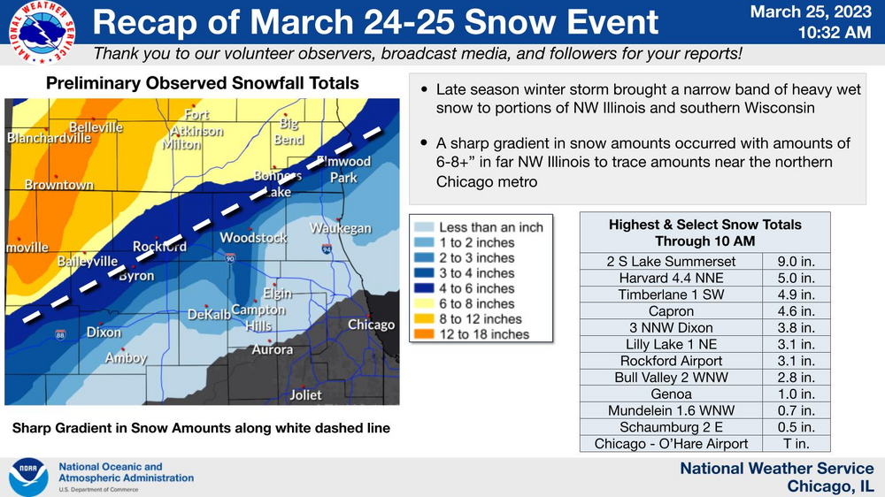
D+. Final kick in the nuts was the near miss on March 25th storm. Heavier snow totals seem to slip by just to the NW back half of winter
-
At least you weren't hurt. Do storm chasers pay exorbitant auto insurance rates?
-
Non event here.
-
Good to be back from Florida
-
Sums up winter for Chicago and most of the burbs
-
Not sure my area did any better. Weather patterns can be so repetitive. Basically needed to be almost at the state line and north all winter to receive good snows.
-
Looking at radar looks like dry slot bust for my area. MKE and Lake Geneva look good. No SE shift for Madison.
-
Let it snow in my absence of course
-
Have to find a quieter place away from spring break horde
-
Heading to Clearwater tomorrow. Will post pics. Based on reviews may head to Siesta Key