Cary67
-
Posts
1,572 -
Joined
-
Last visited
Content Type
Profiles
Blogs
Forums
American Weather
Media Demo
Store
Gallery
Everything posted by Cary67
-
Far NW burbs of Chicago. Not too far from WI state line
-
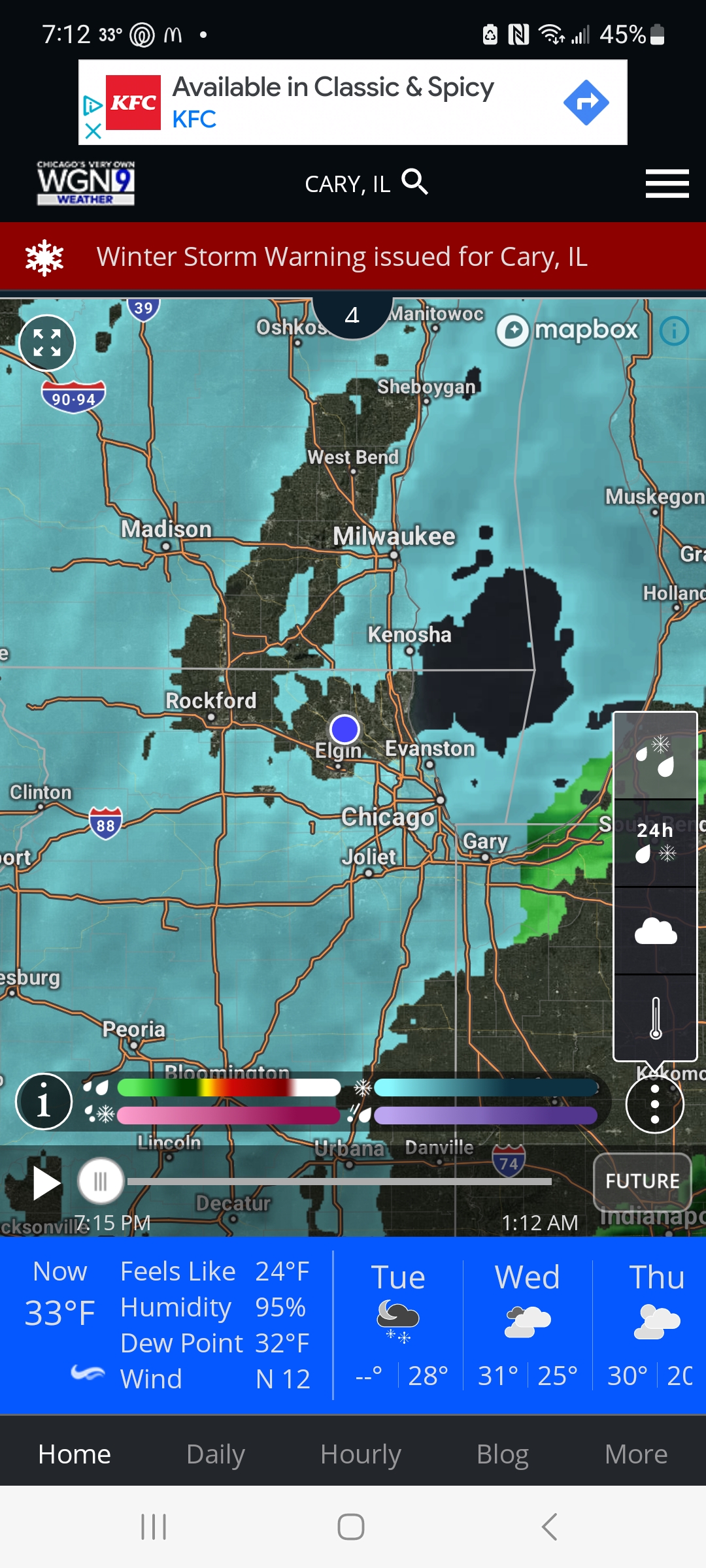
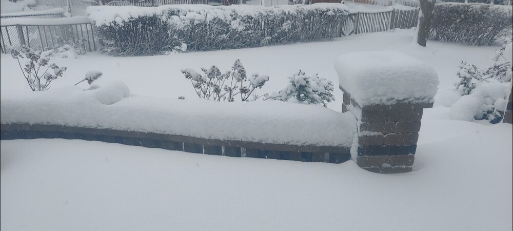
Around 11" here


-
Off on light snow here as radar looks better than reality
-
Light snow falling again after period of drizzle
-
Are you referring to latest HRRR runs? RFD far enough NW to avoid it but not here
-
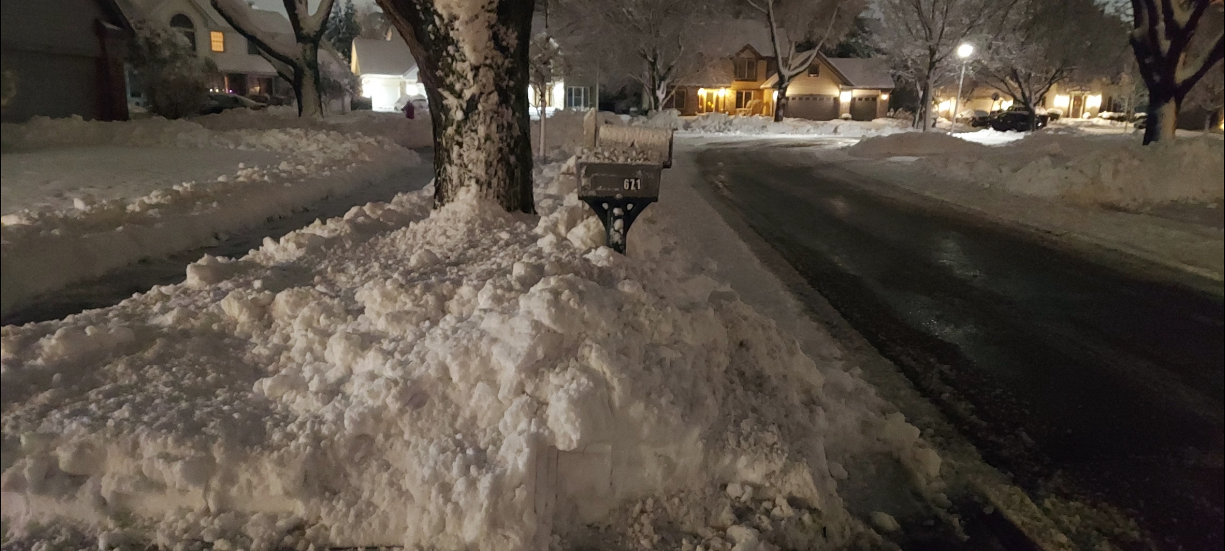
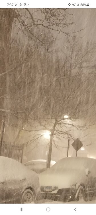
Did the 1st driveway pass. 8" down and snow keeps falling after brief lull.
-
Yikes it's brutiful outside. Another spotter had Cary at 7"
-
But this is my moment
-
After the last several years I will believe it when I shovel it
-
I believe this was it
-
Maybe 3" here. SE McHenry continues to amaze.
-
I thought it was way NW with today's system at long range before correcting back SE in later runs. Like your location moreso than mine for this one
-
NAM nailing it correct at 78-84hrs??Would rather see cutting it NW through central Iowa at this range.
-
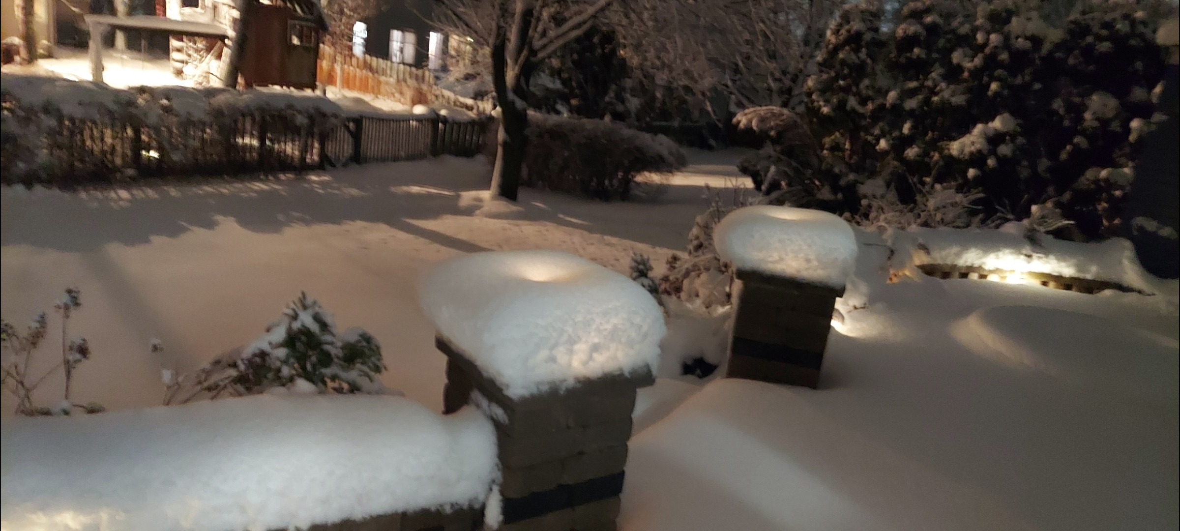
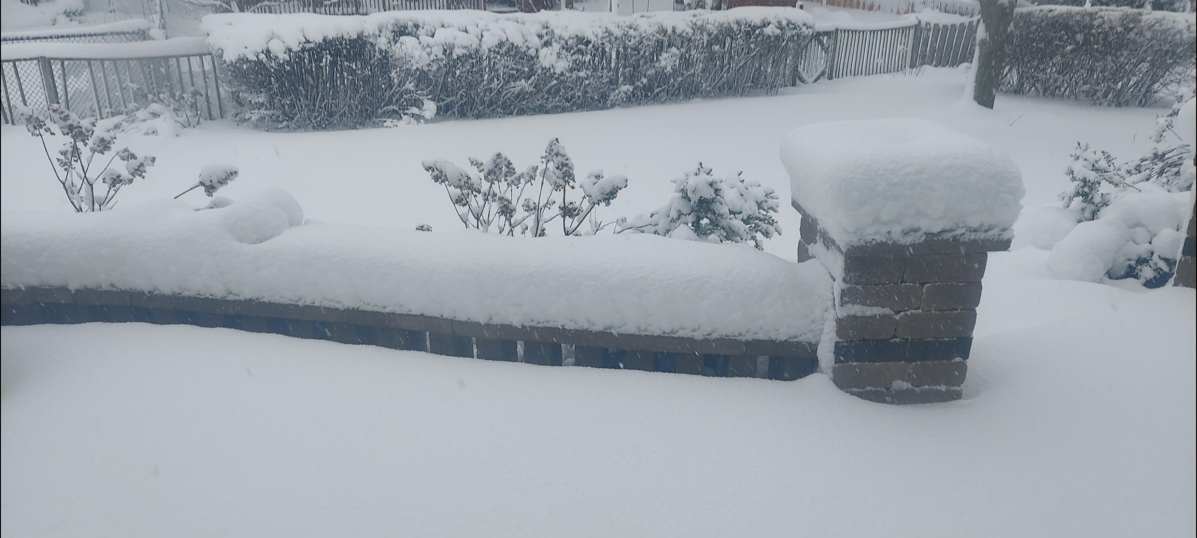
Been lightly snowing for awhile. Not really accumulating. Maybe an inch down. 3.8" call looking good if not robust. The road to 20-25" seasonal totals continues Edit: moderate snow starting to accumulate
-
Interesting. Must be personal only a dusting here.
-
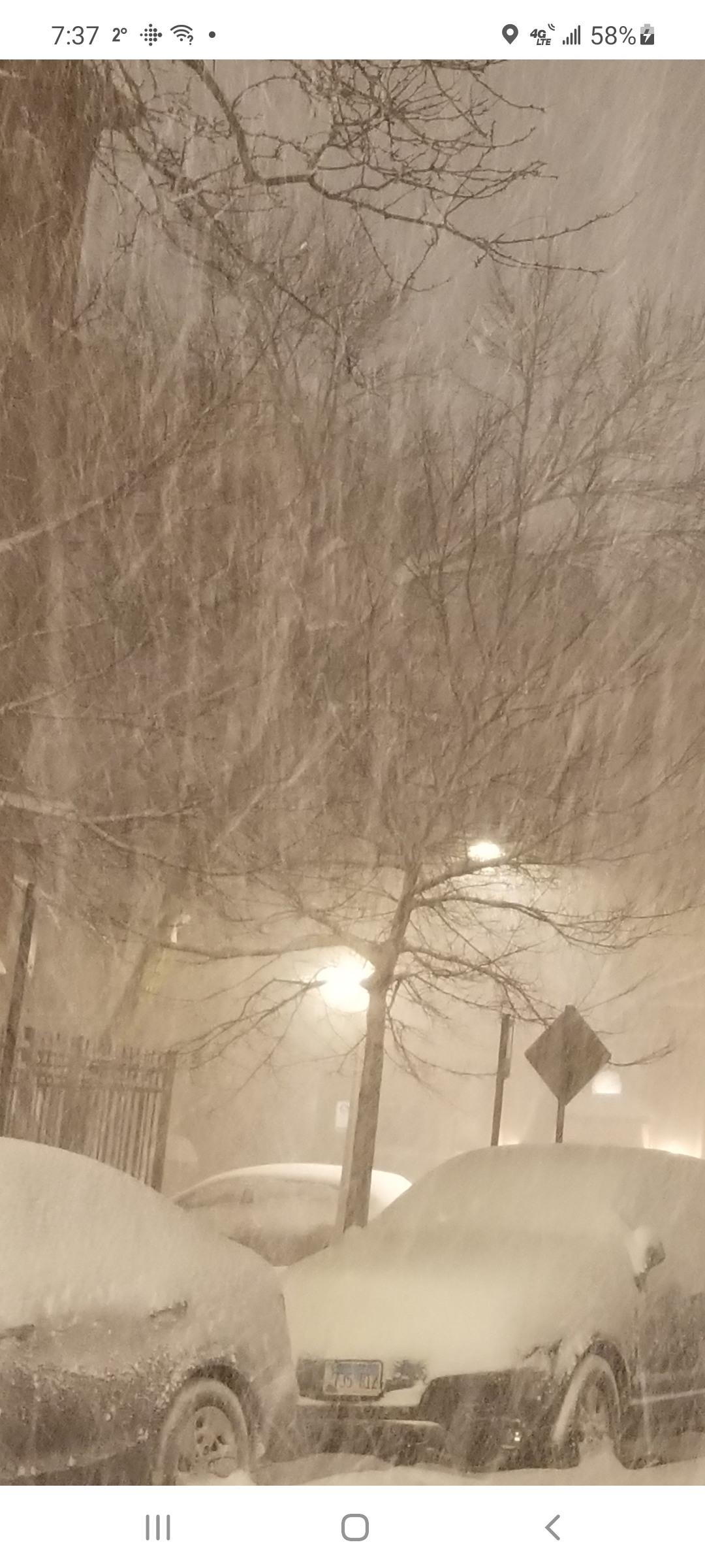
Smallest window for front end thump then about 1-3" Tue morning before dry slot and drizzle with switch to light snow at the end. Final call 3.8"
-
Ground zero: Fox River Grove 5.2"
-
Definitely
-
Nothing legit till globals show it on Sunday
-
Memories of 07-08
-
Yeah saw Antioch had whitened up. We have a little snow falling now but that area will shift west of us to the areas you mentioned. This time Lake Michigan isn't the best climo
-
-
Winter 2023/24 Medium/Long Range Discussion
Cary67 replied to Chicago Storm's topic in Lakes/Ohio Valley
Yeah the differences the last few winters are stark. I will look at RFD numbers also just to remove LES and enhancement totals that ORD and MDW receive. Gives a better idea about general synoptic snow activity across Northern IL in a given winter. Not a huge stats guy but have to guess there is a substantial difference in numbers over the years between DFW and RFD. As for Lake Michigan enhancement, synoptic snow systems have been in short supply here the last few years. -
Winter 2023/24 Medium/Long Range Discussion
Cary67 replied to Chicago Storm's topic in Lakes/Ohio Valley
The fact you have had only one winter in 29 yrs of snow records that was 25.5" or less is interesting. You either are getting lucky or your area receives some decent LES contributions. I looked up the Barrington snow records in the NW burbs which is pretty much devoid of LES and they have registered four winters with less than 25.5" since 2011. Should be about as far north as your locale. 2012(22.8"),2017(22.1"),2022(19.7"), 2023(21.5") Even 2016 barely cleared the threshold at 26.3" -
Winter 2023/24 Medium/Long Range Discussion
Cary67 replied to Chicago Storm's topic in Lakes/Ohio Valley
Could make a run at <25" seasonal snowfall for a third year in a row.