Cary67
-
Posts
1,548 -
Joined
-
Last visited
Content Type
Profiles
Blogs
Forums
American Weather
Media Demo
Store
Gallery
Everything posted by Cary67
-
Have to find a quieter place away from spring break horde
-
Heading to Clearwater tomorrow. Will post pics. Based on reviews may head to Siesta Key
-
Read an article ski season could last through July in some areas there.
-
Winter 2022/23 Short/Medium Range Discussion
Cary67 replied to Chicago Storm's topic in Lakes/Ohio Valley
Do you receive a significant percentage of snowfall from LES in DTW? -
Winter 2022/23 Short/Medium Range Discussion
Cary67 replied to Chicago Storm's topic in Lakes/Ohio Valley
Not worried. Not enough cold air around till you get to DTW -
Spring 2023 Medium/Long Range Discussion
Cary67 replied to Chicago Storm's topic in Lakes/Ohio Valley
Usually mid to late April here. Best weather always seem to follow Memorial Day for the first several weeks of June then repeats itself in September. Majority of September's bring out the best climo moniker from Alek -
Spring 2023 Medium/Long Range Discussion
Cary67 replied to Chicago Storm's topic in Lakes/Ohio Valley
^ Most years when do you mow the lawn for the first time? April 18th last Spring
-
Similar to 1/29 event. Amts increased quite a bit from far SE McHenry Co. up to the state line
-
5.2" here

- 411 replies
-
- 10
-

-
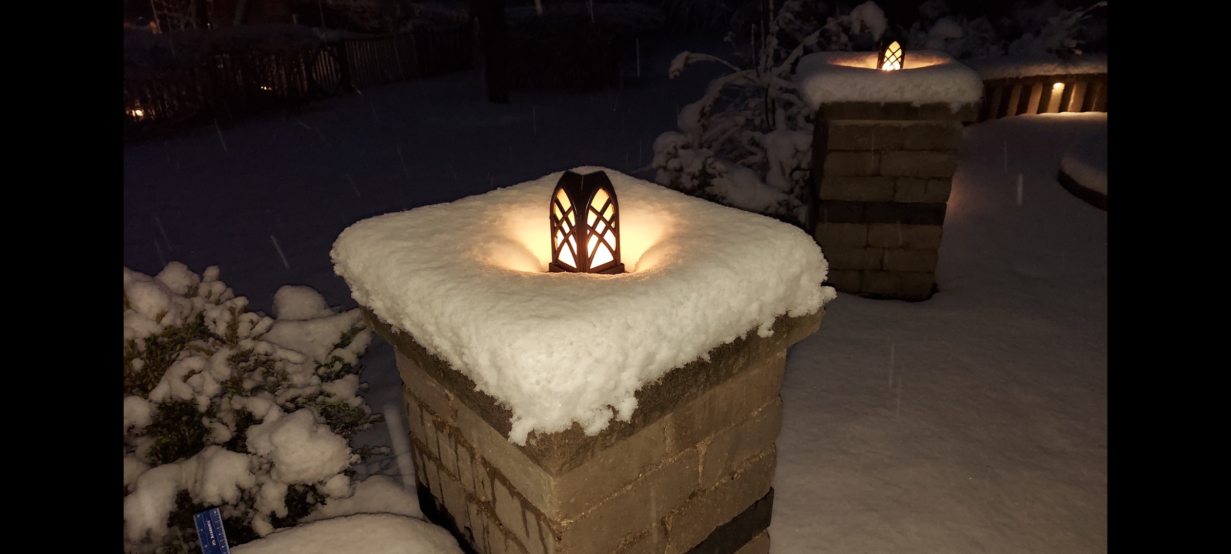
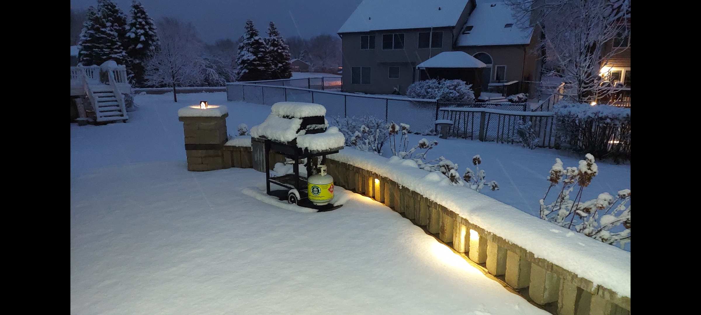
Accumulating on grassy surfaces here
-
P&C went from 4-8", to 4-6", now 3-5". Will bump my call from 2.5" to 3".
-
^ Australia had a chilly summer
-
Wow. Even I have measured 18-19" here.
-
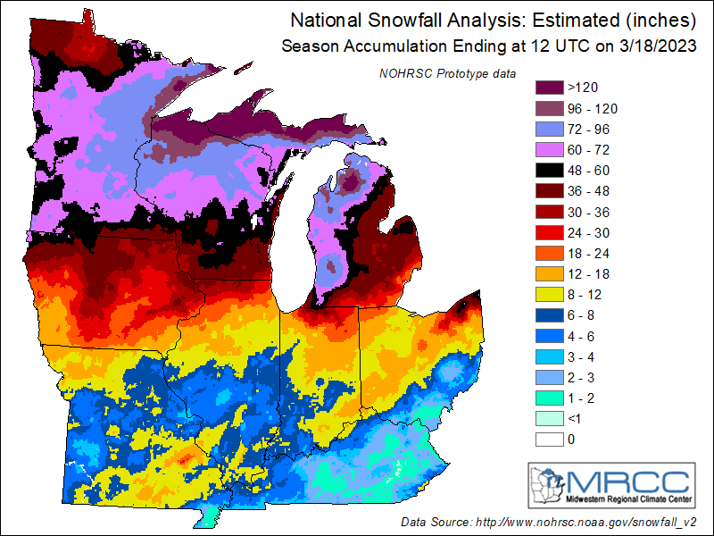
Pretty accurate. Had to be north of the state line with the exception of the ice storm and 1/29 event that hit areas hard just north of me like Woodstock. RFD sits at 20.5" for the season while Madison has 45.4" and MKE 28.5". Shit kicker is RFD finished with 21.1" of snow last year just NW of the February to remember corridor. Looking forward to spring also only a month away.
-
2.5" 1st call. 48hrs for models to dessicate further. Grass blades reluctant to be covered this year.
-
I remember long ago when it would snow at ORD but not DTW
-
Grass topper season till Easter
-
Winter 2022/23 Medium/Long Range Discussion
Cary67 replied to Chicago Storm's topic in Lakes/Ohio Valley
.gif.ee49220fa77857b1ef41288868014ee8.gif.0bb877feb3f947bdabc3ea7385947377.gif)
-
I would of thought the CMC and possibly the Ukie did the best from longer range with this system.
-
Was that picture taken today? Or maybe Nov.3rd,Dec3rd, Jan.3rd,Feb 3rd,or sadder yet this April 3rd.
-
Winter 2022/23 Medium/Long Range Discussion
Cary67 replied to Chicago Storm's topic in Lakes/Ohio Valley
Think March may have a couple more hits to the mid section. Ricky confirmed a -EPO setting up mid March along with a -NAO. Will probably translate to some CAD here with the OV and EC getting their chance vs MSP -
^No amount of "Lazerus" nowcasting is bringing this thing back to my area.

.jpg.8832157655d65e99d44791bb955568c8.jpg)