Snowcrazed71
-
Posts
3,216 -
Joined
-
Last visited
Content Type
Profiles
Blogs
Forums
American Weather
Media Demo
Store
Gallery
Everything posted by Snowcrazed71
-
Possible coastal storm centered on Feb 1 2026.
Snowcrazed71 replied to Typhoon Tip's topic in New England
Lol... That doesn't look so bad at all.... Lots of members to the West, even on shore -
Possible coastal storm centered on Feb 1 2026.
Snowcrazed71 replied to Typhoon Tip's topic in New England
Funny... GIL Simmons from WTNH has been touting the Canadian model as his favorite for the last few storms ( he mentioned it had done the best in his opinion )... So I'm curious what the CMC showed as far as it being a hit? -
Possible coastal storm centered on Feb 1 2026.
Snowcrazed71 replied to Typhoon Tip's topic in New England
Not sure if this will trend back West. It's possible as it's only Tuesday. We just had an amazing storm, and I think we're all grateful for finally getting something that we all were able to cash in on. But I'm not going to lie, I wouldn't mind having a blizzard this weekend ( or next ) -
Possible coastal storm centered on Feb 1 2026.
Snowcrazed71 replied to Typhoon Tip's topic in New England
Of course you would..lol -
Possible coastal storm centered on Feb 1 2026.
Snowcrazed71 replied to Typhoon Tip's topic in New England
Not sure how you guys feel about Bernie Rayno. He really thinks this thing is going to hit the Northeast, but even has a good chance of hitting anywhere from DC straight up through New England... But he did specify that New England has the highest chance of this verifying. Guess we'll know more in the next couple of days -
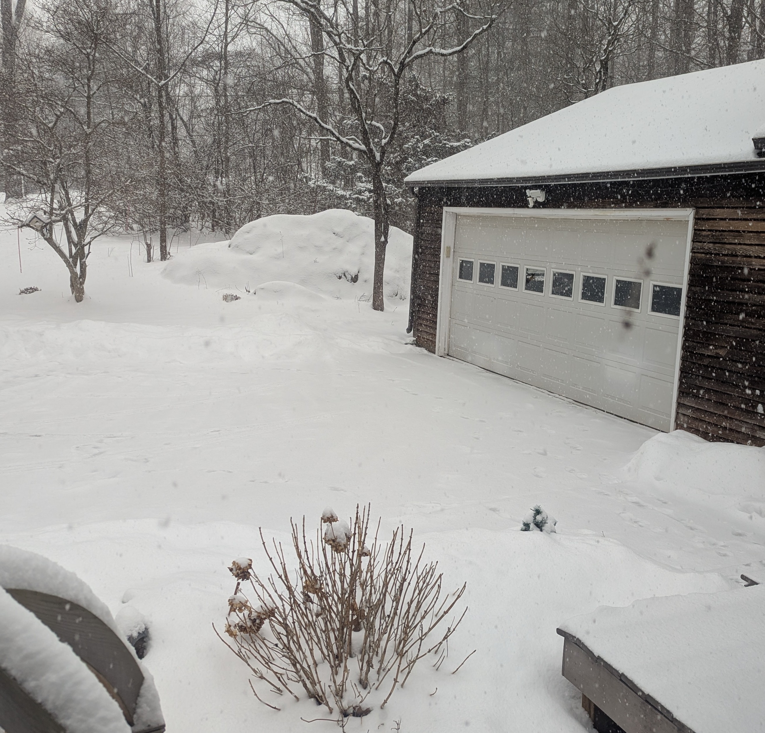
Nice. Steady snow coming down now. Trying to coat the roads and everywhere again. I don't think I was expecting this now. Of course! I just ran out to do a couple of quick things LOL. Looks like a winter wonderland out there
-
I did three rounds, two yesterday and one today. Today's was much worse as the snow seemed a bit heavier from last night. However, I'm ready for the next storm. Fingers crossed it happens this weekend
-
Possible coastal storm centered on Feb 1 2026.
Snowcrazed71 replied to Typhoon Tip's topic in New England
Tip... I've come to really appreciate your knowledge and presentation when you delve into this upcoming pattern. It takes a lot to look at all look at all the pieces of the puzzle and try to put them together. It's going to be an exciting week leading up to next weekend and beyond. Thank you again for starting this thread! -
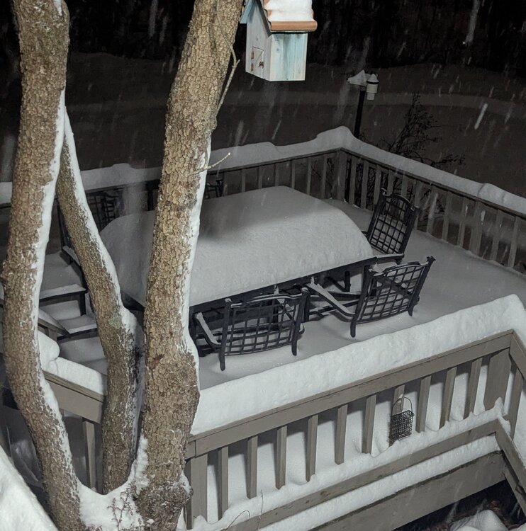
About 16.5 here. Even if we get another 1" or 2" before it's over tonight, that'll bring that's over 18 tonight. Whatever we get tomorrow is gravy. Very curious to see what happens tomorrow.
-
Looking like the back edge in Pennsylvania is going to be heading into Southern New England in the next hour or two. Unless the precip redevelopment and back fills to keep it going until later on tonight. Just not sure
-
January 2026 regional war/obs/disco thread
Snowcrazed71 replied to Baroclinic Zone's topic in New England
Is this the same signal for 2nd or 3rd of February? -
Been loving this whole day. Made it pass early in my driver with a shovel around 10:30 a.m. And there was about 2 and 1/2 in then. Went back out at 3:00.... Where at that point we probably had about 10 or 11 in. Don't think we're going to see any thunder snow. There hasn't been any reports that I've seen anywhere in the tri-state area, but still, a great storm. Back end snows tomorrow. Maybe 1"-3" in CT?
-
Strange. I'm just watching wtnh doing a live update... He's just talking about the storm gathering strength in the Gulf then eventually transferring to one off of Cape Hatteras.... But isn't the storm already taking shape off of Cape Hatteras as we speak? Just strange how they didn't mention that LOL. What I'm waiting for now is some thunder snow. Let's bring it on!!
-
I agree there. But they're showing 24" to 28" now around Northeast Mass. Even a couple of 30 burgers. I was talking about our area where the model runs have been bringing our totals up too. I'll be very happy if I get 18" .... But even happier if we can hit the 24" Mark. We'll see what happens
-
I mean, the models are bringing in some pretty heavy totals at go time. Maybe we can see up to 24" here around Hartford. It's already crazy out there. Shoveled about an hour ago with about 2"-2.5". Get a quick run through the driveway with the shovel for now... Super light and powdery. Just measured now and we're just about 4"

-
Hmm. Already snowing around the Greenwich- Stamford area. Things are whitening up ( reported on news 8 ).
-
“Cory’s in LA! Let’s MECS!” Jan. 24-26 Disco
Snowcrazed71 replied to TheSnowman's topic in New England
I think you're just beat down from it being here. I'd would be super disappointed as well. But tantrums get you nowhere. Relax and enjoy the ride, even remotely. Can't change the outcome. We in Ct are definitely in the 12-18+ range ( and yes.. there will be some scattered 20" lolli'a here and there. Only the shore line will be 8-12 because of the sleet mixing in. Some.in northeastern mass have goo chance of over 20" for sure -
“Cory’s in LA! Let’s MECS!” Jan. 24-26 Disco
Snowcrazed71 replied to TheSnowman's topic in New England
Would you take more stock in what the euro is showing as far as the sleep line staying closer to the shoreline, are you still considering the NAMM as a heavy contender bringing the sleet up into the middle of the state? -
“Cory’s in LA! Let’s MECS!” Jan. 24-26 Disco
Snowcrazed71 replied to TheSnowman's topic in New England
It's really showing a good amount here in Connecticut. Both of those maps could easily get us to almost 20 in. At least the northern half of Connecticut. There's been a lot of confusion when we're talking about kuchera it's no ratios. It is going to be very cold so I'm assuming there will be a higher ratio, 15 to 1... 20 to 1? -
“Cory’s in LA! Let’s MECS!” Jan. 24-26 Disco
Snowcrazed71 replied to TheSnowman's topic in New England
Yup -
January 2026 regional war/obs/disco thread
Snowcrazed71 replied to Baroclinic Zone's topic in New England
Ahh. Too soon I guess -
“Cory’s in LA! Let’s MECS!” Jan. 24-26 Disco
Snowcrazed71 replied to TheSnowman's topic in New England
It was just strange that all the other models were higher and this was the lowest.... But I wasn't aware it was very conservative. Thanks for explaining -
January 2026 regional war/obs/disco thread
Snowcrazed71 replied to Baroclinic Zone's topic in New England
Looks to go boom -
“Cory’s in LA! Let’s MECS!” Jan. 24-26 Disco
Snowcrazed71 replied to TheSnowman's topic in New England
There's always a few lol -
January 2026 regional war/obs/disco thread
Snowcrazed71 replied to Baroclinic Zone's topic in New England
This current storm for this Sunday was going to the south of us in the early part of the week and then started coming north as we got into the middle part of this week. We have plenty of time for this one to change and for other models to come on board. There's a storm there, that's all we can ask for.