Snowcrazed71
-
Posts
3,216 -
Joined
-
Last visited
Content Type
Profiles
Blogs
Forums
American Weather
Media Demo
Store
Gallery
Everything posted by Snowcrazed71
-
“Cory’s in LA! Let’s MECS!” Jan. 24-26 Disco
Snowcrazed71 replied to TheSnowman's topic in New England
So with the Euro having the lowest in the sense of how much liquid precipitation will fall, then you have the GFS and the other major models with more liquid precipitation, and the Nam has the most. So blending them all will get a fairly decent amount of precipitation to get us to that 12 to 18-in range in a lot of the area -
“Cory’s in LA! Let’s MECS!” Jan. 24-26 Disco
Snowcrazed71 replied to TheSnowman's topic in New England
Ok.. is it worth posting. Any changes that are worth noting? -
“Cory’s in LA! Let’s MECS!” Jan. 24-26 Disco
Snowcrazed71 replied to TheSnowman's topic in New England
So where are you seeing this finally ending up as far the northerly ticks? -
Measured 2". Nice little event.
-
January 2026 regional war/obs/disco thread
Snowcrazed71 replied to Baroclinic Zone's topic in New England
Yeah... I know they said we're going to have some snow coming through this evening. I'd forgotten, so after dinner I had to bring something out to recycle and it was snowing pretty good with a covering everywhere -
“Cory’s in LA! Let’s MECS!” Jan. 24-26 Disco
Snowcrazed71 replied to TheSnowman's topic in New England
Ok.....Just asking.. Geez .lol -
“Cory’s in LA! Let’s MECS!” Jan. 24-26 Disco
Snowcrazed71 replied to TheSnowman's topic in New England
I'm curious whether they are going to host Winter Storm Watches later today even though it's early -
“Cory’s in LA! Let’s MECS!” Jan. 24-26 Disco
Snowcrazed71 replied to TheSnowman's topic in New England
Dare I say.... Could be huge!!? -
January 2026 regional war/obs/disco thread
Snowcrazed71 replied to Baroclinic Zone's topic in New England
It's okay man. I'm definitely no professional, just a weather enthusiast like most of us on here. It has really changed and morphed over the last 3 or 4 days. I'm sure this makes it very interesting for all you professionals to follow and forecast. -
January 2026 regional war/obs/disco thread
Snowcrazed71 replied to Baroclinic Zone's topic in New England
It would be your dream. I'd rather keep it a big snowstorm -
January 2026 regional war/obs/disco thread
Snowcrazed71 replied to Baroclinic Zone's topic in New England
Man, I'm so confused by you. You were adamant that this was going to be south of us. You were absolutely sure this was going to stay south of us. Now you're suggesting that it's going to go north and trend warmer. Hmmmm..... -
January 2026 regional war/obs/disco thread
Snowcrazed71 replied to Baroclinic Zone's topic in New England
Wait a minute, maybe he's the Pope!!!?? Lol -
January 2026 regional war/obs/disco thread
Snowcrazed71 replied to Baroclinic Zone's topic in New England
A nail biter for sure ( well, at least for us in SNE ). The next few days will be telling. Thanks for you insight. -
January 2026 regional war/obs/disco thread
Snowcrazed71 replied to Baroclinic Zone's topic in New England
Hmmmmmm.... Could it be....... -
January 2026 regional war/obs/disco thread
Snowcrazed71 replied to Baroclinic Zone's topic in New England
Well the pope still doesn't see it happening at all. He is all in on it staying south and being a DC event. From what I'm seeing, even from the professionals, there's a very good shot of it coming up, at least in a sudden New England -
January 2026 regional war/obs/disco thread
Snowcrazed71 replied to Baroclinic Zone's topic in New England
Bob on Wvit is now taking about the possibility for a big storm Sunday and Monday. He's being much more cautious, but seems more optimistic of some sort of storm here. It's nice to have the Mets's getting on board here in Ct. -
January 2026 regional war/obs/disco thread
Snowcrazed71 replied to Baroclinic Zone's topic in New England
Well. Gil from our local weather station is now saying Snow is increasingly likely for Sunday and Monday. He must have liked the trends, especially the Euro tonight. -
January 2026 regional war/obs/disco thread
Snowcrazed71 replied to Baroclinic Zone's topic in New England
Take it up with Vortex95. Lol -
January 2026 regional war/obs/disco thread
Snowcrazed71 replied to Baroclinic Zone's topic in New England
Wow!!! And how did they do again with this past storm over the weekend? I feel like they did fairly well. No. Of course, I'm not saying that all three of these are I come to fruition, but I think the chances are pretty high that one out of the three will come through -
January 2026 regional war/obs/disco thread
Snowcrazed71 replied to Baroclinic Zone's topic in New England
Thinking back, did we have a similar Arctic air mass on top of us? I'm just wondering what it looked like before that storm made its way up into our area -
January 2026 regional war/obs/disco thread
Snowcrazed71 replied to Baroclinic Zone's topic in New England
You seriously posting this crap? You know better than most of us that this far out the scenario is not going to play out like this. I think you're just fishing to see what people say. -
Rise of the Machines: January 18-19 Winter Storm Obs Thread
Snowcrazed71 replied to WxWatcher007's topic in New England
Once the next round gets going, your temps will drop. Don't you worry bout nuttin. -
Rise of the Machines: January 18-19 Winter Storm Obs Thread
Snowcrazed71 replied to WxWatcher007's topic in New England
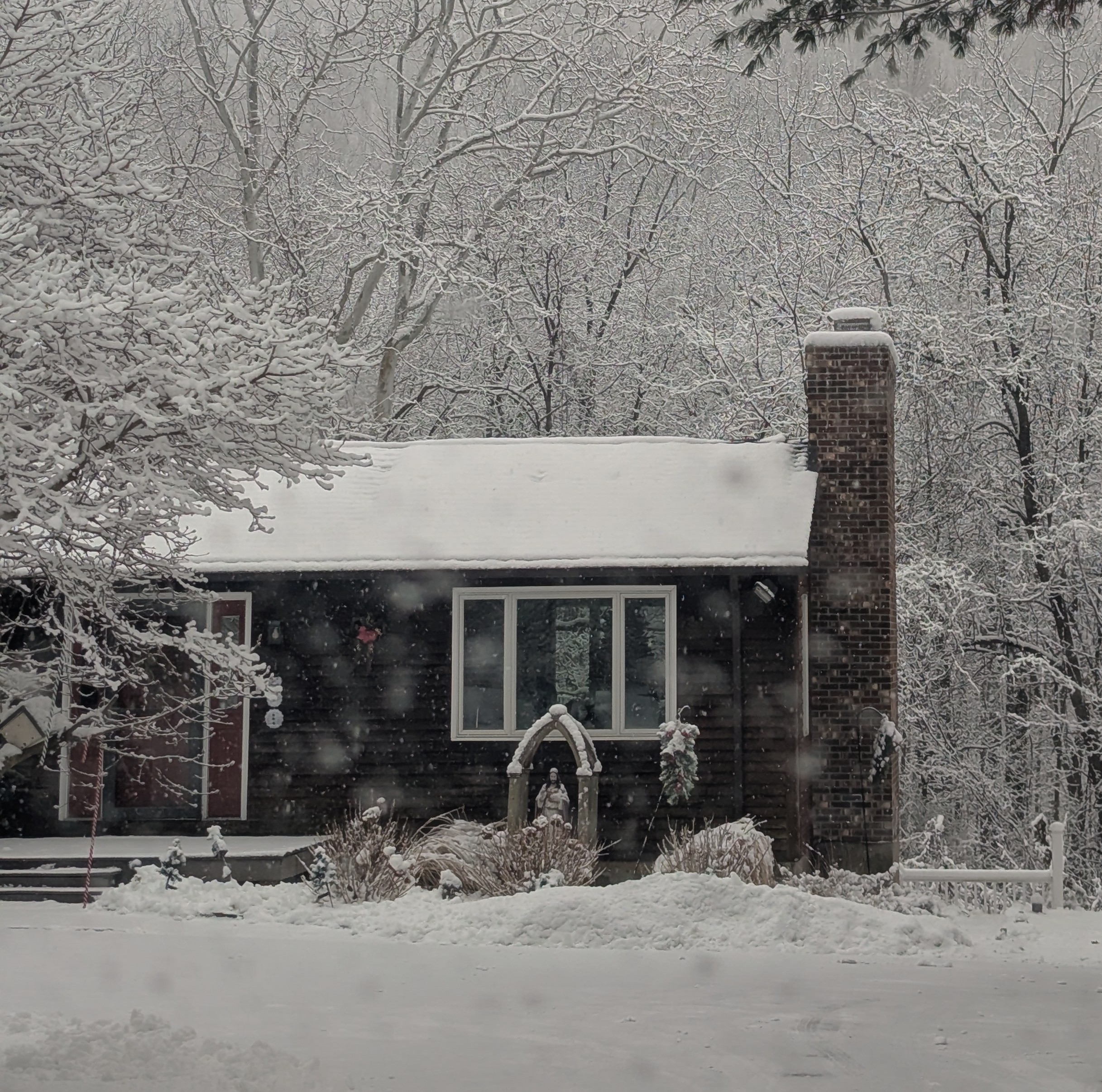
Just came home from church with our daughter. Everything looks like Currier & Ives. Light snow now... Looking forward to the steadier and heavier snow later today and tonight.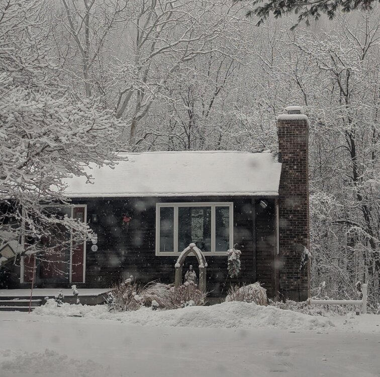
-
Rise of the Machines: January 18-19 Winter Storm Obs Thread
Snowcrazed71 replied to WxWatcher007's topic in New England
Lol.. man.. you are done! -
January 2026 regional war/obs/disco thread
Snowcrazed71 replied to Baroclinic Zone's topic in New England
And you know better than that. As far as precipitation, that will change as we move ahead....c'mon man. really? You know better than that ( and maybe you are right, but there a good chance you are wrong )