
Snowcrazed71
-
Posts
3,236 -
Joined
-
Last visited
Content Type
Profiles
Blogs
Forums
American Weather
Media Demo
Store
Gallery
Everything posted by Snowcrazed71
-
No I totally get what you're saying and appreciate what you're saying. And you're probably correct that it's not something that's going to fully impact our area in a wintry kind of way this early. I am hopeful for later January through early March for a better shot at some actual winter weather. El Ninos are tough for us, but given the right ingredients, we could get a few good storms out of it later on this season.
-
Fair enough. I do know what we're up against, but, I'm not writing it off it's definitely going to be a horribly warm winter.
-
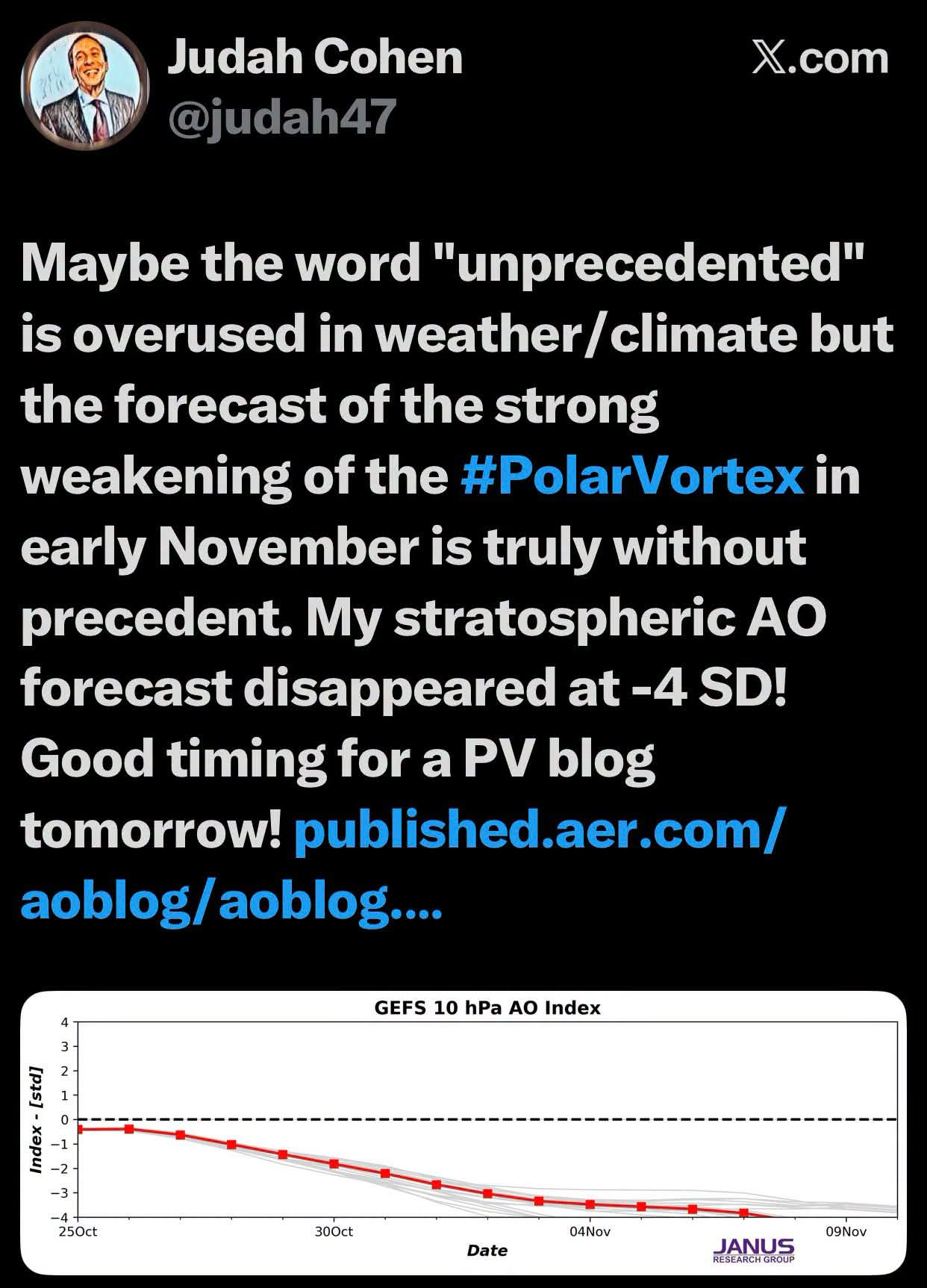
Well.. not sure if Judah Cohen counts. He has mentioned this. Also one of the Mets here in Connecticut that I follow and listen to his morning live everyday mentioned this today of this possibility. I also follow a guy from Northeast weather... I've followed him for the last few years and I have to be honest, he has been pretty much right on with a lot of his research. He's not a clickbait guy. Now, I guess time will tell if this actually happens in mid-november. Maybe you're right, but you're also not a professional met, so for you to jump on me that quickly it's kind of rude LOL. But no feelings are hurt here :-) I guess we'll see what happens in mid-november. If I'm wrong, so be it. No loss for me, but if this does happen, it could get very interesting.
-
There have been quite a bit of legit mets with this info. But we shall see (it wouldn't be something we see until mid November).
-
Not necessarily. No one's saying winter is looking bleak. As a matter of fact, there are definite factors in play that can totally give us a different outcome historic El Nino in place. There are things happening now that have never been seen as far as polar vortex split in early November and some other signs as well. Either way, there's no definite cause for canceling winter. But I also know that you're very pessimistic. I don't mean that in a mean way, I just know what your defense mechanism so you don't set yourself up for disappointment.
-
Not sure if I'm posting this in the right section, although we haven't started November obs yet). Curious of thoughts on this as I've seen this being tossed around by more seasoned METs now?
-
No man... You're wrong on this guy. He's not another Mark more garbage.
-
I really like this guy! He doesn't hype, but comes up with some great reasons/research of why a pattern can help predict upcoming events. Eurasian SNOW COVER SURGING — ANOTHER PIECE OF THE WINTER PUZZLE FALLING INTO PLACE. Northeast Weather Alert 30 minutes ago 3 min read Rated 0 out of 5 stars.No ratings yet The slow start to Eurasian snow-cover expansion is officially behind us, and the latest developments are becoming increasingly interesting as we approach November. Many of you who followed my discussions last winter will remember the attention I gave to Eurasian snow cover and its potential influence on the larger Northern Hemisphere atmospheric circulation. Well, we're beginning to see some noteworthy developments once again. The latest NOAA observations show a sharp acceleration in Eurasian snow-cover expansion during the second half of October. More importantly, both the ECMWF operational model and its ensemble guidance support continued above-normal expansion through the remainder of the month. WHAT THE LATEST GUIDANCE IS SHOWING Between October 16 and October 20, observed Eurasian snow cover increased dramatically, climbing from approximately 2.7 million square kilometers to nearly 4.9 million square kilometers across the monitored region. Looking toward October 31, the ECMWF projections indicate: ECMWF Ensemble Mean: Approximately 6.62 million km². ECMWF Operational: Approximately 7.03 million km². Snow Advance Index: Both projections indicate faster expansion than the historical October average. This is a substantial turnaround from the relatively sluggish expansion we witnessed earlier in the month. And this is exactly the type of development I pay attention to when evaluating the potential evolution of our winter pattern. WHY EURASIAN SNOW COVER MATTERS There is an important atmospheric relationship worth understanding here. When snow cover expands rapidly across Eurasia, particularly Siberia, it can promote stronger surface cooling and support the development of an extensive Siberian high-pressure system. Under favorable conditions, this can influence planetary-wave activity, allowing more atmospheric energy to propagate upward into the stratosphere. That interaction can contribute to disturbances of the stratospheric polar vortex, potentially increasing the likelihood of a weaker vortex and a more negative Arctic Oscillation. The relationship isn't automatic, nor does every year with rapid Eurasian snow expansion produce the same winter outcome. Nevertheless, it's an important part of the larger hemispheric circulation that I continue to monitor. WHAT THIS COULD MEAN FOR THE NORTHEAST Here's where my interest continues to grow. I've been discussing the possibility of a colder second half of winter, particularly from mid-January through March, and the latest Eurasian snow-cover developments are another potentially supportive signal. When combined with the evolving Pacific circulation, QBO, potential high-latitude blocking, and signs of increasing stress on the polar vortex, I see a developing atmospheric picture that deserves serious consideration. I continue to lean toward a colder second-half winter pattern across New England, New York, Pennsylvania, and New Jersey than some of the prevailing seasonal projections suggest. My interest is not limited to brief Arctic outbreaks. I'm watching the possibility of a more sustained pattern featuring eastern North American troughing, stronger high-latitude blocking, and an increased frequency of cold-air intrusions. Such a pattern could also create more favorable opportunities for winter storm development, provided the necessary moisture and storm tracks cooperate. The rapid expansion of Eurasian snow cover doesn't guarantee those outcomes, but it provides another piece of information as we assess how the atmosphere may evolve. MY OVERALL THINKING What catches my attention is not one isolated atmospheric signal, but the possibility that several different drivers may begin working together as winter progresses. The Eurasian snow-cover expansion, evolving stratospheric circulation, Pacific pattern, and potential changes in the AO and NAO could eventually favor a considerably different weather regime across eastern North America. I remain comfortable with my thinking of a relatively milder first half of winter, followed by a meaningful transition toward colder conditions during the second half. And with what I'm currently seeing, my interest in that colder scenario continues to grow. The next several weeks will be important as we determine whether the developing Eurasian snow-cover pattern is followed by corresponding changes in Siberian high pressure, planetary-wave activity, and the stratospheric polar vortex. My bottom line: The Eurasian snow-cover signal is becoming increasingly impressive, and it's another reason I'm keeping a colder and potentially more active second half of winter firmly in my forecast thinking for the Northeast. There is much more to examine as these atmospheric features continue evolving. I'll bring these signals together in my final 2026–2027 Winter Outlook on November 15, where I'll explain how I believe the larger pattern could unfold across our region. Northeast Weather AlertPattern
-
I don't think it's going to be a black and white El Nino event.
-
I have to disagree. I was just saying to my daughter that this year's colors have been much more vibrant in the last few years. I think it's looking fantastic.
-
From everything that I am hearing about the super El Nino, it's not likely at all that we're going to have a very cold winter. The likelihood is milder than normal, but that doesn't mean we'll just have rain, even if we're a few degrees warmer than the average temps. We can still have big snow storms if everything is timed well. So hard to know. I think that's what keeps. All of us coming back is the unknown and the hope of what we'll see. At least we're heading in the right direction as far as seasons go for all of us snow lovers
-
I woke up and was in surprised to see you. Hoping we didn't lose power tonight, but other than that, a pretty interesting little storm. Do you think this will be a pattern we'll see as we head into Winter?
-
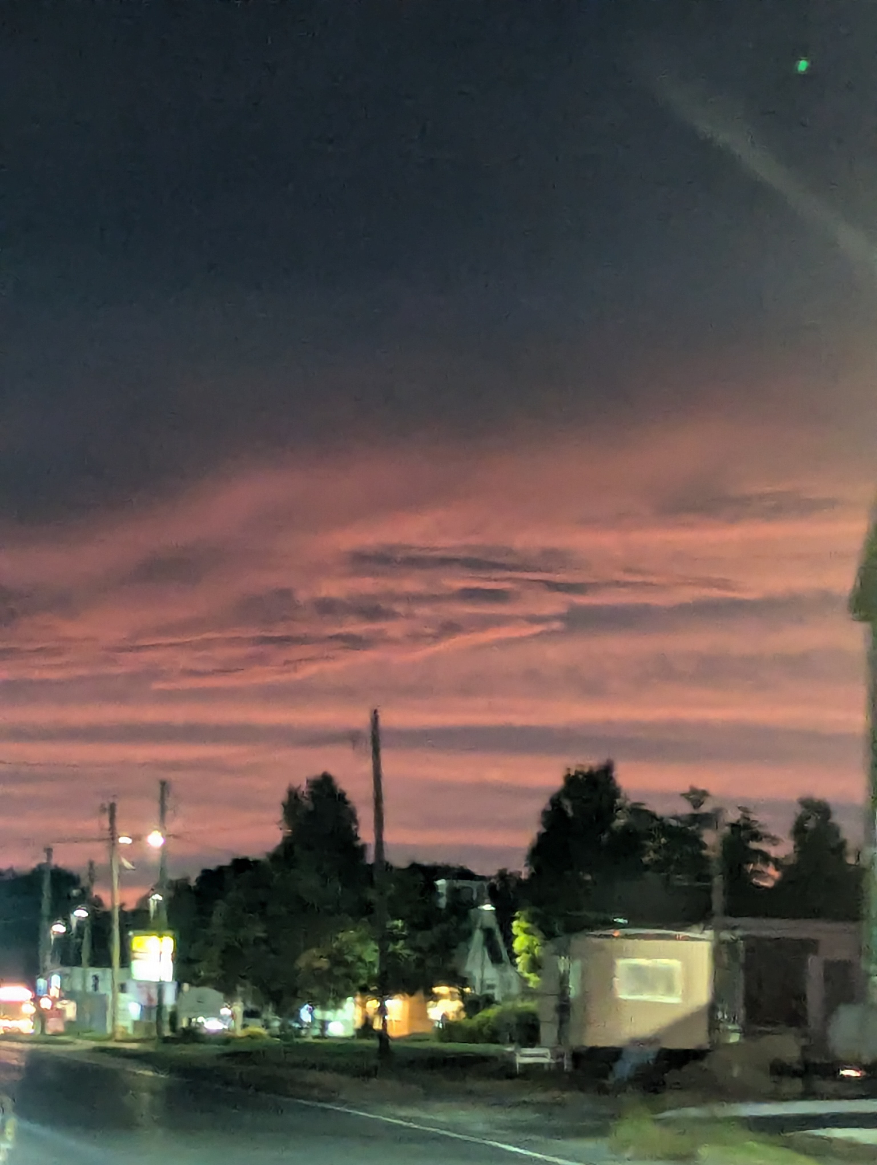
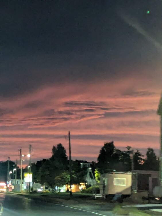
Ryan was just saying on the news that the rain looks like it's moving in but not reaching the ground and is creating rainbows. The sky is absolutely amazing. Also, there's just that feeling with the wind going and the sky looking the way it does that you know it's going to be a interesting weekend weather wise.
-
So, now that we have a new addition to our family, meet Ms. Jettie. She's never seen snow as she was found in in southern Texas when she was only 2 months old back in the beginning of the year. Brought up here in April. I'm hoping she'll get to see some snow this year for her first winter in the Northeast

-
I saw someone reference the El Nino of 1877 to the El Nino for this winter. I looked it up just to see what effects it had on the Northeast, and it was considered the winter that wasn't. I'm just going to go with low end on the snow and if we get anything major it'll be a good surprise. We saw this coming so shouldn't be a surprise if we get, at best, a mediocre winter
-
Um... It's the NAM with 3-4 days to go. Are you seriously putting stock in this run (whether it's good or bad).
-
What if? Well...at least q-Schmegma loved your comment
-
Nice to see your fresh take on a new season.
-
Tropical!! Man, you are killing it.
-
So I have a question that someone relates to the June topic. I just posted in the winter form for this upcoming winter as well. I saw a few different posts now from different people saying they're expecting a Modoki El nino for the upcoming summer and winter. From what I'm reading, that gives us a completely opposite effect of a typical super El Nino. Meaning, not as hot of a summer, not as suppressed when it comes to hurricanes, and a colder stormy year pattern for the winter. Figured more people are in this current June discussion topic than they are right now in the winter discussion ( that's been crickets, as it should be )
-
So I'm just curious. I saw a few posts from different people saying that they're expecting this El nino to be a Modoki El Nino for the summer and winter. And they're saying with that it's opposite of a typical El nino. Just curious on thoughts from you guys on this
-
We grow them in Connecticut. You just want to wrap them up in the winter time to protect them
-
Losing a dog ( or cat ) is so difficult, even harder than a human. I lost my last of our three dogs a year ago October. We are finally going to start looking again by this summer. We do have a houseful of the feline variety though, so no lack of happiness here. Just ready to add the canine back to our household.
-
Dude... It's done! Just wipe that thought from your brain ( especially where you are ). It's rare by that point to get Snows.... And even if we do, it would be a surprise. Better to look forward to next year at this point.
-
Yeah... Who are the trusted meteorologist were saying we're going to see temperatures in the low 60s on Sunday. I'm hopeful for that as it's my daughter's 13th birthday