Albedoman
-
Posts
1,321 -
Joined
-
Last visited
Content Type
Profiles
Blogs
Forums
American Weather
Media Demo
Store
Gallery
Everything posted by Albedoman
-

Central PA Winter 2022/2023
Albedoman replied to Blizzard of 93's topic in Upstate New York/Pennsylvania
The only thing that will break the fricking pattern we are in is the GOM opening up for business and at the same time a few clippers go on by. Three years of this PA jet screaming by is pissing off everyone now. Another blown forecast for the LV overcast and 31 degrees- was supposed to be sunny. The La Nina has to relax in late January is our single chance of saving this winter. Wasted cold snaps by rain/mix and wind events is getting old. The only ones that will cash in on this ugly pattern is the Great lakes region for Lake effect snow as the lakes are not even frozen yet. What is strange is that we have very few true clippers in this crappy pattern. This is the 1980's all over again. -
Central PA Winter 2022/2023
Albedoman replied to Blizzard of 93's topic in Upstate New York/Pennsylvania
thanks. I will be posting here more often. No I am not an elite but I do have 45 years experience in weather forecasting. I am a retired physical geographer with a concentration in atmospheric science _ the days before they had computer models outside of Maryland. I was an air traffic controller in the Navy and worked as a remote sensing for the CIA( landsat imagery). My uncle was the western regional director for the NWS until he retired 20 years ago- so yes I do know the weather before computers and the internet got into the picture. I refer to models as tools of the trade and not the bible for storm forecasting. I have seen every type of storm imaginable from being in an F3 tornado in Arkansas, hurricanes in MS, blizzards in the east coast, 125 degrees in death valley, 60 inches of snow in a single storm in the mts of S California, dust storms, ice storms in Memphis Tn. and blistering cold of -25 degrees in wisconsin and my favorite -fog in the bay area so thick you have to get out of your car to see where you were at on the road. I just want to bring my experiences to the table to share with others and to simply tell your forum I am not some crackpot troller -
Central PA Winter 2022/2023
Albedoman replied to Blizzard of 93's topic in Upstate New York/Pennsylvania
sorry you cannot get a banter thread. LR vs SR threads are a workaround for the banter thread IMHO. I like reading and posting in this forum because the Philly forum posters concentrate too much on NJ. There is a life beyond NJ and their wishcasters for every storm to be a major coastal storm. It seems we are forgotten that nearly a million people live in the Lehigh Valley metro area until there is a major pile up on I -78 or RT 222. At least this forum acknowledges that physical geography plays a vital part in accurate weather forecasting for the LV as the LV is not in the coastal plain. -
E PA/NJ/DE Winter 2022-2023 OBS Thread
Albedoman replied to Ralph Wiggum's topic in Philadelphia Region
based on the current short range models, I would expect nothing less than a flash freeze event Friday night and a dusting of snow (2" or less). All I can say is the NWS better play up the flash freeze event and start issuing warnings in their hazardous outlook Thursday night for our area. This rare event is far more dangerous to the traveler than any heavy snow event. I would ask that the NWS work with closely with PADOT in issuing a flash freeze warning for this event, especially on their SMART signs. Too many travelers on Friday night will be in the ditches and will be auto wreck central. I expect I-78 , I-80, I_81 and even RT 22, Rt 222, Rt 309 ,Rt 422 to be a complete disaster. You cannot sufficiently brine the roads in these rainy conditions nor can you salt in time to stop the water from freezing on all road surfaces with the temps dropping into the teens. Salt does not work effectively in temps below 25 degrees. All I can say is the only thing that maybe white this Christmas in our area will be the cars from the huge amount of salt being place on the roads. Car washes will be running full speed on Monday -
Central PA Winter 2022/2023
Albedoman replied to Blizzard of 93's topic in Upstate New York/Pennsylvania
well, these weather amateur modeologists are finally seeing what happens when you track storms 8-10 days out within the last few years. They fail- every single time. The only useful model is the reining mesocscale map the King- the NAM. These long range models should be thrown in the garbage for storm prediction. They are strictly guidance for future weather patterns- thats it. I think anybody who post these long range clown maps that are 10-15 days out from the GFS, CMC and Euro out should be immediately thrown in the banter thread. Stop relying on them to predict short range storms. Personally, the threads with their appropriate posts should be divided up LR ( long range) and SR (short range) on this site. Let the snow weenies die on the vine in the LR threads and it would restore confidence in the accuracy of the posts -
E PA/NJ/DE Winter 2022-2023 OBS Thread
Albedoman replied to Ralph Wiggum's topic in Philadelphia Region
Its hard to ignore this pretty accurate short range model. Notice that South Mtn plays the important demarcation line of who actually gets the snow. While the snow amounts appear high, it has the right idea with my thoughts about the dynamic cooling idea and the physical geography. If this indeed unfolds, many amateur mets will call this event an "overperformer" I call it normal. A WSW should be issued for the LV north if the next three hourly runs hold up to this same scenario. -
Central PA Winter 2022/2023
Albedoman replied to Blizzard of 93's topic in Upstate New York/Pennsylvania
no way with the demarcation line of heavy snow through Lehigh county with these models. ABE does not get 9 inches while Macungie gets 3 inches. Just does not work that way. These maps are telling me soundings are the key to indicate heavier snowfall. Evap cooling is the key factor. I have many times seen heavy snow at 34 degrees. Also The South Mountains are the demarcation line of heavy snow in this scenario in the LV. Anyone nw of the South Mountain range will get over 4 inches in the LV. I have seen this scenario play hundreds of times in the last 30 years. East Greenville will get 2 inches in northern Montgomery while Shimmerville/Macungie in SE Lehigh county gets over 4 inches. -
E PA/NJ/DE Winter 2022-2023 OBS Thread
Albedoman replied to Ralph Wiggum's topic in Philadelphia Region
Nam says up to 5" on the clown map -- 1-2" positive snow depth on the ground. A WWA should be issued tomorrow for 2-4 in for Thursday to be on the safe side. No biggie -
E PA/NJ/DE Winter 2022-2023 OBS Thread
Albedoman replied to Ralph Wiggum's topic in Philadelphia Region
its all on the soundings. A cooling profile wherever it sets up will bring down those accumulating fatties in a hurry. Usually south mountain is the demarcation line in these events. Good thing, the ground is cold this time so it should start accumulating real quick. I have seen over a dozen times. Padot will be brining tomorrow afternoon -
E PA/NJ/DE Winter 2022-2023 OBS Thread
Albedoman replied to Ralph Wiggum's topic in Philadelphia Region
snow on the ground from RT 100 and RT 309 intersection north. White rain all day in Macungie. Strictly elevation storm -
E PA/NJ/DE Winter 2022-2023 OBS Thread
Albedoman replied to Ralph Wiggum's topic in Philadelphia Region
just clarification thanks . I want everyone to cash in on our snow starved area. We need the snow for adequate groundwater recharge for the spring. I would love to wishcast but in reality, a la nina year sucks for us. Three years in a row has virtually destroyed the water supply/river system for the entire country, not just for our area. I would love to see a neutral year next year with arctic area intrusions by clippers every three days and a good nor'easter with drifting snow thrown into the mix. What really concerns however is our area is WAY overdue for a major ice event. The way these patterns are setting up this year for potential overrunning and Miller B's that just might happen. Thanks -
E PA/NJ/DE Winter 2022-2023 OBS Thread
Albedoman replied to Ralph Wiggum's topic in Philadelphia Region
NO guilty conscience here- just stating historical analog facts. we will see. By the way I have only called for snow once in the last 30 days and it was just a for a measurable snow for the LV . The other snow predictions I made were mentioned in another thread for the total snow amounts for the year. Thats simple wish-casting. I was predicting weather in the Navy as an air traffic controller before the internet was even born. I do not rely solely on computer modelogy. Sorry -
E PA/NJ/DE Winter 2022-2023 OBS Thread
Albedoman replied to Ralph Wiggum's topic in Philadelphia Region
Ralph, not just wishcasting but historical weather patterns playing an emerging and major part for my reason in why I said lock it in for 6+ in for the LV . While the 12' + amounts are suspiciously too high in the clown maps for the LV, the weather pattern and projected snow amounts for this potential event is warily similar to the the 2010 boxing day storm in which the LV received over 6 in of snow. This synoptic weather pattern this week resembles this same pattern before the 2010 boxing day storm snow event as stated from Wikipedia "The storm was difficult to predict due to disagreements between models; it wasn't until about two days prior when the most models anticipated a major snowstorm. The National Weather Service's Hydrometeorological Prediction Center and many other private forecasters were skeptical of the storm impacting the Northeastern states until about 24 hours of the storm's arrival as well; although, some models depicted the storm delivering a full-blown blizzard to the New York City metropolitan area as early as a week in advance. The Hydrometeorological Prediction Center even issued a statement on Christmas Eve, 48 hours prior to the storm, that they suspected the American models of having model initialization errors; thus, they believed these errors may have forced the storm to be erroneously modeled to come up the Northeastern coast." The real issue IMHO is that storm event was also in December and was in a relaxing La Nina year weather pattern scenario. Models are models but they should always be used as tools to guide our predictions, not to base potential snowfall accumulation ten days out. When I see a weather pattern emerging, I examine historical storm analogies that resemble what the computer models are spitting out. Even though its not perfect way to predict I especially like to use it in fading La Nina years because these years tend to spit out weird storm scenarios, especially when short duration blocking is occurring in the Atlantic. You are right by holding out for another 3-5 days before jumping on the band wagon for a potential KU storm event. The best model to use is the NAM in this situation. -
E PA/NJ/DE Winter 2022-2023 OBS Thread
Albedoman replied to Ralph Wiggum's topic in Philadelphia Region
6+ in of snow by next Saturday for the LV. Euro says over a foot- maybe not. Anyway Lock the SOB in with a great chance for a white Christmas. -
Winter Forecasts for 2022-2023 (Amateur and Pro welcome)
Albedoman replied to ChescoWx's topic in Philadelphia Region
I have a typo error third line should have been Dec 18-24. Regardless, I had 7-12 in before Christmas. The Euro and GEM are leaning in my direction tonight - thats good -
Dec 7-9 still trying to spit out something. This weekend just too warm, But my prediction was made on this weekend storm was made 11 days ago. I agree the 15 day GFS forecast are wishful thinking. 10 days on the Euro sniffs out the early potential but the NAM/RGEM 3-5 day short range is usually the best model to rely on for somewhat accurate snow events. Total snowfall accumulation for the storm event- I usually rely on the total snowfall accumulation change in 24 hours only. The clown map is fun to look at if you are wishing for a KU storm every time a snow event happens. Lets face we all like a good continuous 24-48 hour snowfall with thundersnow, high wind advisories and half dollar size flakes.
-
Winter Forecasts for 2022-2023 (Amateur and Pro welcome)
Albedoman replied to ChescoWx's topic in Philadelphia Region
fwiw December 1-7 no snow avg temps December 8-17 4-6 inches of snow below normal temps December 8-24 3-6 inches of snow below normal temps December 25-31 4-6 inches of snow avg temps January 1-15 6-10 inches of snow below avg temps January 15-31 4-8 inches of snow avg temps February 1-15 8+ inches of snow below avg temps Februray 15-28 6-8 in of snow avg temps March 1-31 4-6 inches of snow avg temps at least 3 storms of 8+ inches with at least one week or more of solid single digit lows or colder in early January. Total snowfall 46 inches for the LV. Snow cover 25 + days -
Yep, I agree. On to my next measurable snow event. Thanksgiving weekend is still in the picture for at least a 2-4 inch snow event
- 852 replies
-
- 1
-

-
- hurricane
- tropical storm
- (and 1 more)
-
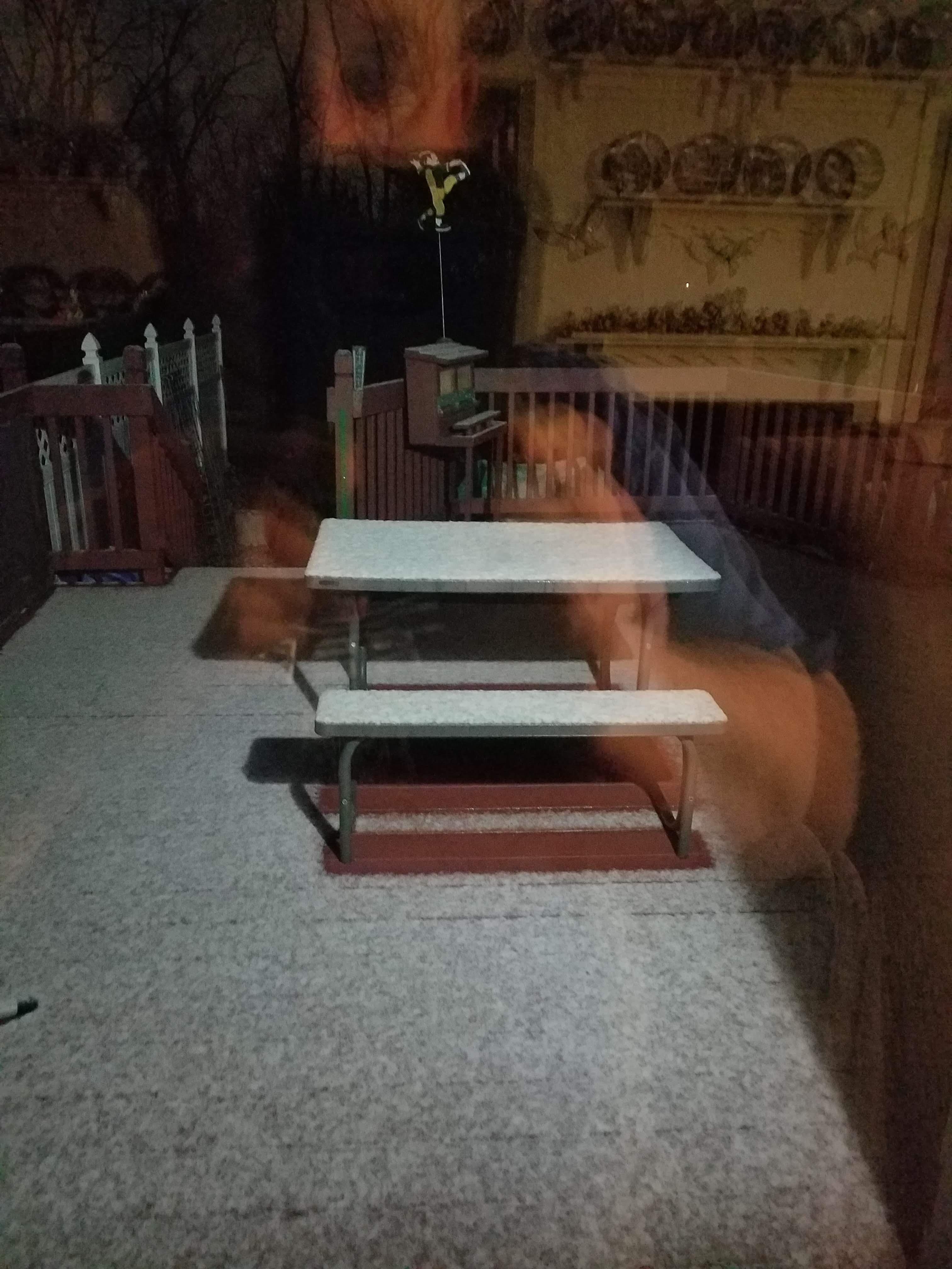
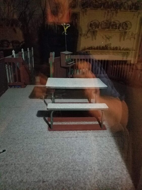
bonsai. Measurable snow on my Deck in Macungie. I locked that baby in good.
- 852 replies
-
- 2
-

-
-
- hurricane
- tropical storm
- (and 1 more)
-
Bullseye. Sleet mixed with wet snow in Macungie 38 degrees. If the profile cools more, that would be great but I just do not see that happening as the precip is still too light. Well winter has begun.
- 852 replies
-
- 2
-
-
-
- hurricane
- tropical storm
- (and 1 more)
-
no biting until the Euro spits out this same map in 4 days
-
from the lock it in guy two weeks ago: Fantasy storm after Thanksgiving for us on this evenings GFS run. Something is definitely up with the -EPO blocking playing a big part as it starts to relax. Something worth watching over the next week or so. Will not bite until the Euro spits out something similar in the next few days as is is still out of its bullseye range of ten days. Its been a long time since I have seen 2-3 feet for the LV and Poconos accumulations but again this is just a clown map
- 852 replies
-
- 4
-
-
-

-
- hurricane
- tropical storm
- (and 1 more)
-
ABE looks likely to see some wintry precip next week with the blocking. The Euro painted that out this possibility about three days ago and the GFS is consistently is harping on it. Also would not be surprised to see someone in the tri state area to get an an F0 or F1 tornado out of Nicole. . Reminds me a lot of this situation in 2008 with tropical storm Hanna with my location being in the NE/NW quadrant of the storm.
-
Agree, what I have been eluding to all along Ralph. One storm sets up the other. I maybe wrong on the 16th but we may eventually get some on the 18th. Its depending on how much cold is sucked down our way. Lets hope the GFS and CMC models stay on track. What convinced me was the Euro runs a few days ago showed a solid hit in this time period and the Euro is somewhat accurate sniffing out the potential snow events 6-10 days out. The 16th-18th fell in that time frame.
- 852 replies
-
- 1
-
-
- hurricane
- tropical storm
- (and 1 more)
-
- 852 replies
-
- 1
-
-
- hurricane
- tropical storm
- (and 1 more)