OrdIowPitMsp
-
Posts
2,819 -
Joined
-
Last visited
Content Type
Profiles
Blogs
Forums
American Weather
Media Demo
Store
Gallery
Everything posted by OrdIowPitMsp
-
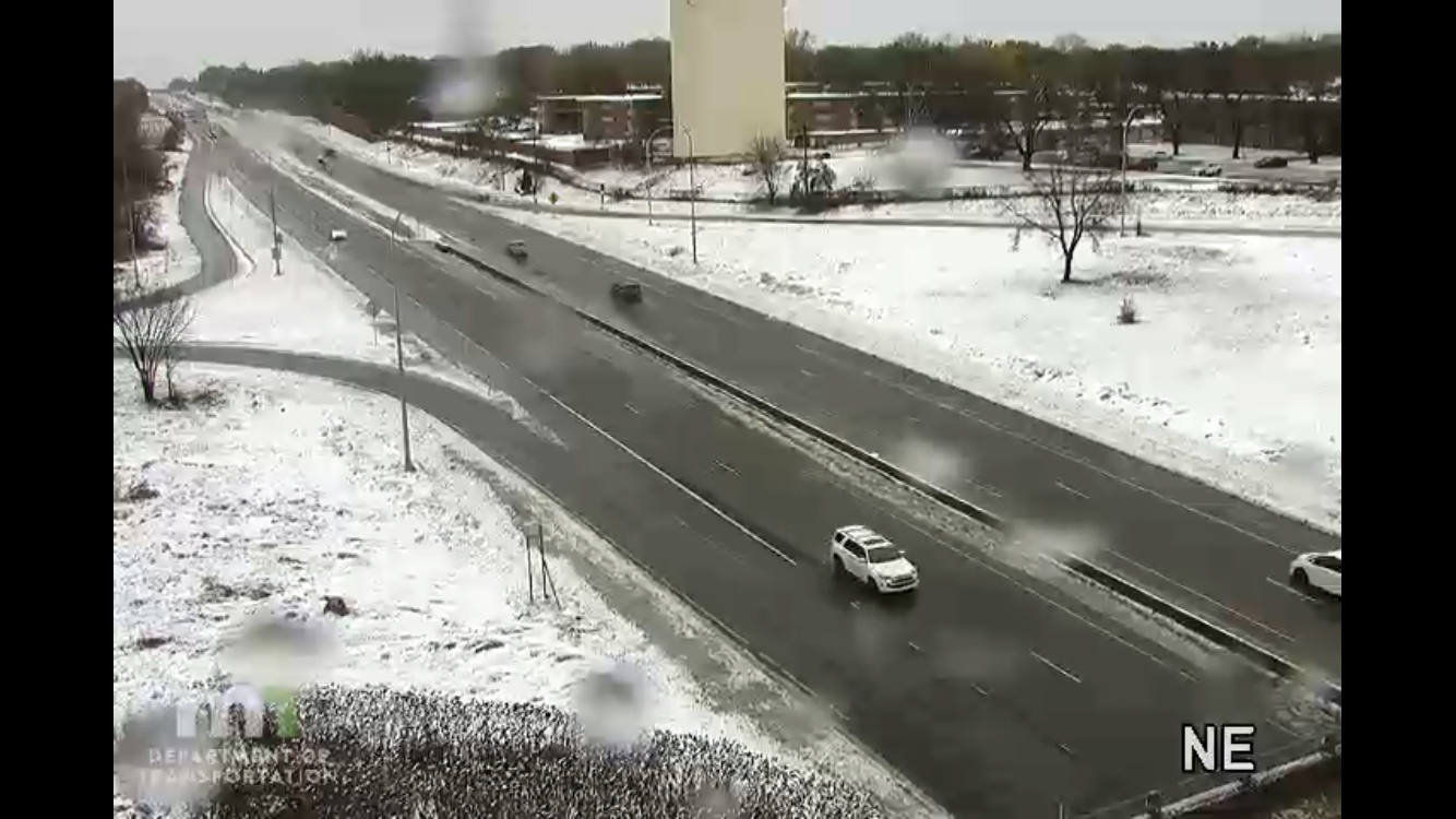
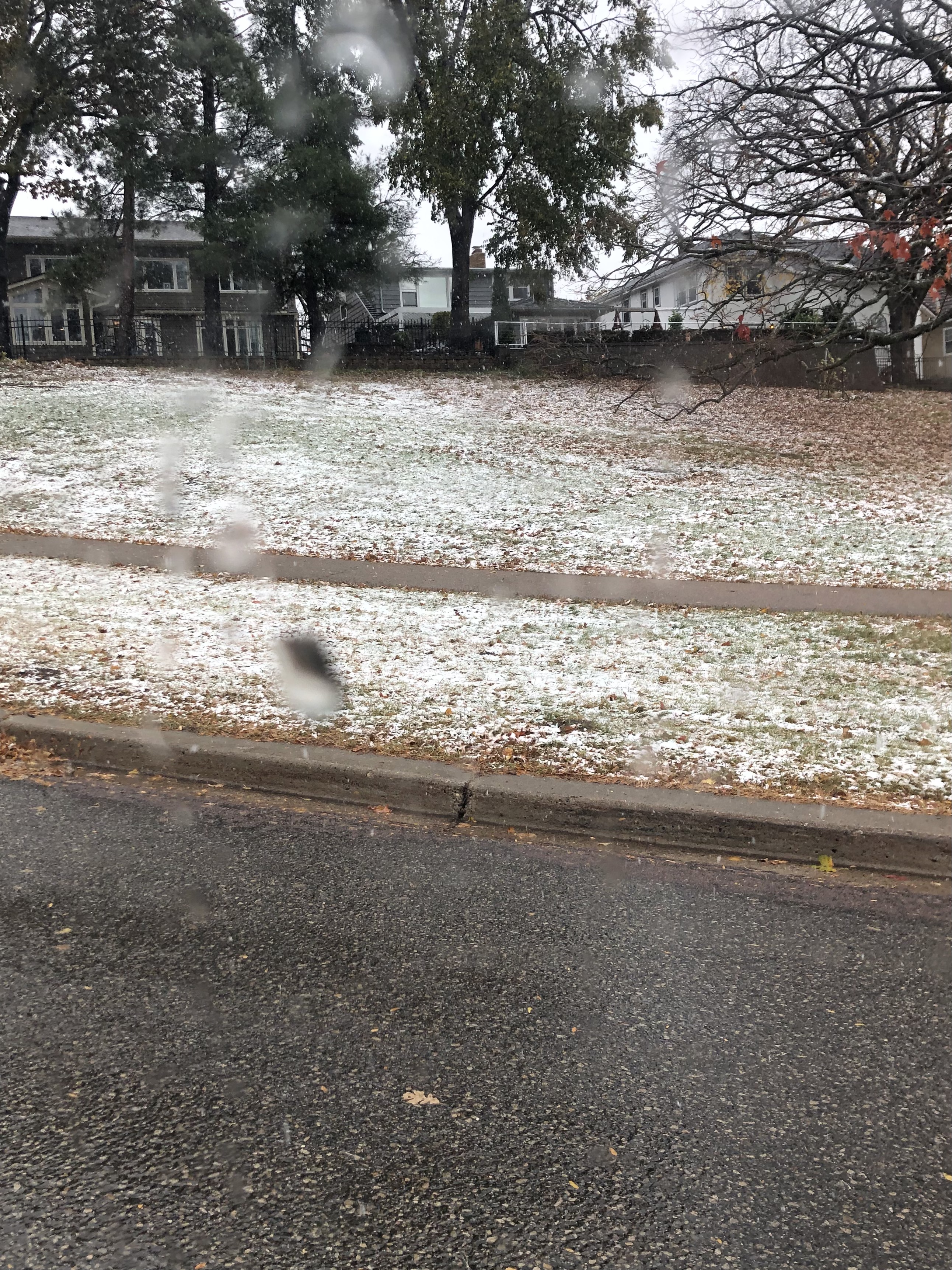
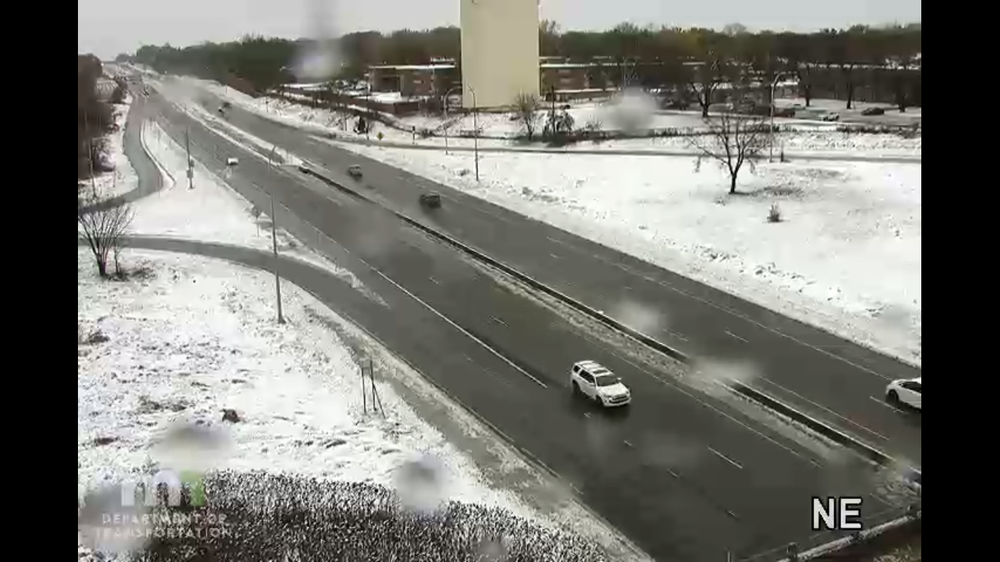
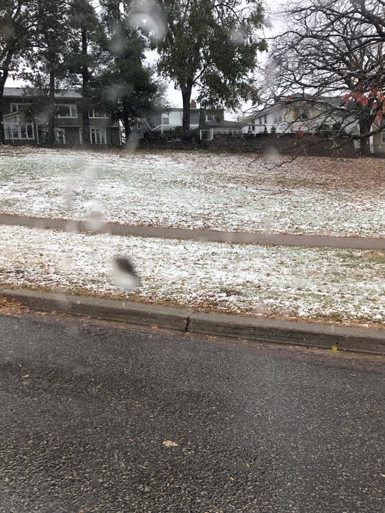
Yep two in a row, last year was much snowier but this still counts. Western suburbs have snowcover, for the most part it was white rain here in the city. Warmest autumn so far on record and we still manage our first snowflakes in October.
-
Northwest suburbs looking good.
-
It ain’t much but we are on the board for the 24/25 snow season.
-
We’ve transitioned over to snow/sleet in the past 90min. Deck and grass is slush covered but the main band of accumulation setup 40 miles to my west where 3-5” totals appear likely.
-
Transition to snow taking a bit longer then modeled in the metro but areas just west of me are cashing in. Webcams showing healthy accumulation.
-
WWA for the Twin Cities. Potential for 2-4” of wet sloppy snow today. Steady rain has developed and overspread the area overnight.
-
Just a Trace of precipitation today but ready to rock with this defo band tomorrow. HRRR showing a changeover during morning rush hour.
-
Models say this is underdone but ground temps must be near record warmth for this time of year.
-
Record high of 80 yesterday for Minneapolis. The 2nd latest 80 on record behind 10/31/1950. Winter storm warnings north of the metro. Someone in central Minnesota will see 3-6 of slushy accumulation tomorrow. My confidence is increasing that at the very least I’ll see first flakes imby tomorrow.
-
Tied the record high of 75 yesterday. Making a push to 80 today with how mild the overnight lows are. Flakes might mix in for Halloween???
-
There was a little bit of patchy frost in the northern suburbs this morning. Driving down to Iowa City this weekend. Expecting spectacular colors along the way.
-
0.48” of rainfall this evening. We really really needed this. My garden will be producing tomatoes into November this year.
-
Holy cow it’s raining. Even a couple rumbles of thunder!
-
I can only imagine what is was like in Two Harbors. Are there any spotter reports up there? You were just about ground zero.
-
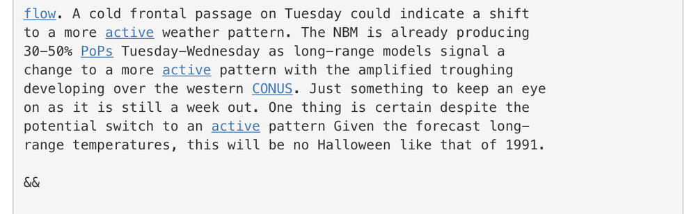
The annual mentions of Halloween 1991 have begun. If there was one historic storm I could experience that might be it.
-
Appreciate the kind words. I hold myself to the same standard as others in this subforum especially @michsnowfreak so my crappy iPhone 8 pics aren’t up to snuff. Another dry frontal passage this evening. Gusty NW winds and rapidly falling temperatures. Back to autumn.
-
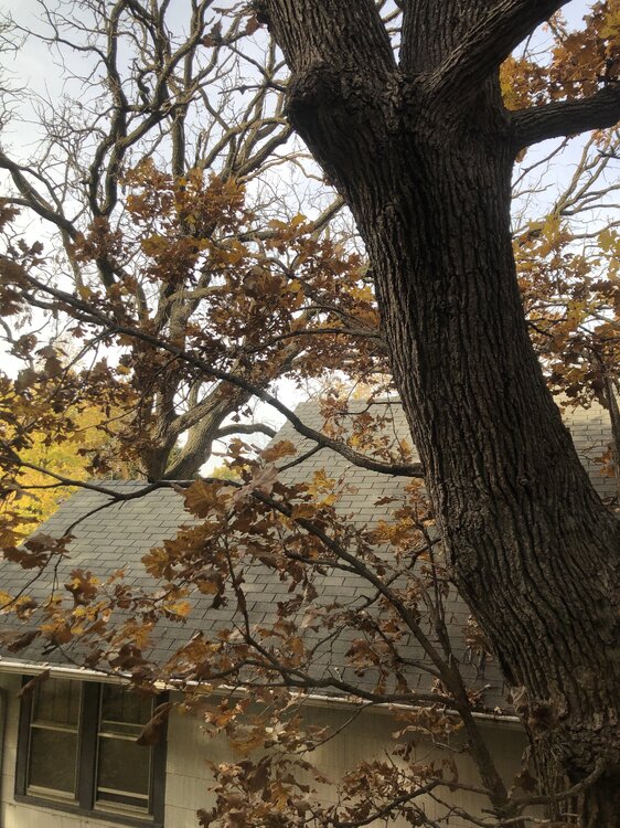
I’ll note, the large Swamp White Oak outside our house went from mostly green to post peak in 4 days. Yesterday it was peak color and today brown and dropping leaves. Trees aren’t holding the color as long this year and dropping leaves rather quickly. 84 here this afternoon. Yes i am awful at taking pictures.
-
I’ve got photos from last year of my kid trick or treating in 2” of snow. This year we will bust out the Hawaiian Leis.
-
They seem a bit duller, leaves just drying out and turning brown quicker, but we are at peak so colors are still magnificent.
-
81 today. Just a few degrees shy of the record of 83. Every few days I like to throw it out there that Minneapolis has seen 0.06” of precipitation since August 30th
-
Squeezed out a Trace of precipitation overnight. Can’t believe there are more 80s on tap here Sun/Mon. Record highs very much in play. Summer continues.
-
Overnight low of 34 in Minneapolis. 28 at the Anoka County airport in the suburbs. Precipitation chances look minimal through the end of the month.
-
My parents live in a townhome in Highland Park a little over a quarter mile from the lake. Dad just sent me a picture of some frozen stuff that fell there this morning. Cloudiness prevented us from dropping below 36 in Minneapolis last night.
-
Low of 35 at the airport. Freeze across the suburbs. Heavy frost.
-
By November I’ll be hoping it’s frozen, but anything helps at this point. We had a few sprinkles today but nothing measurable. Felt like a true autumn day, temps in the lower 50s and gusty winds taking lots of leaves off the trees.