OrdIowPitMsp
-
Posts
2,791 -
Joined
-
Last visited
Content Type
Profiles
Blogs
Forums
American Weather
Media Demo
Store
Gallery
Everything posted by OrdIowPitMsp
-

November 2024 General Discussion
OrdIowPitMsp replied to SchaumburgStormer's topic in Lakes/Ohio Valley
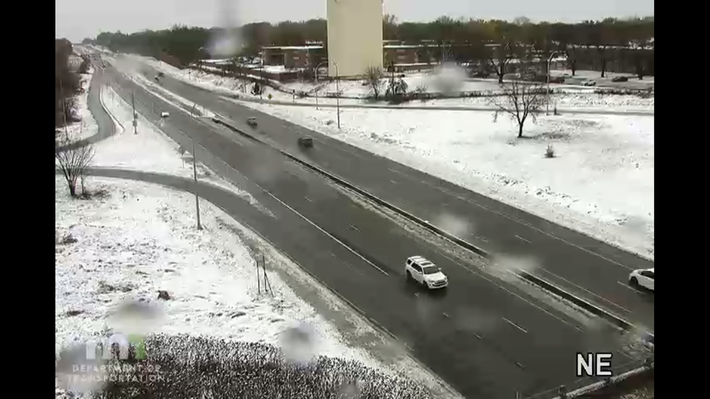
The NAM has been trending extending the snow south to brush Minneapolis along the cold front. We’ll see what the Hrrr brings as it comes into range. Might see a quick dusting overnight here before the prolonged freeze begins. -
Winter 2024-25 Medium/Long Range Discussion
OrdIowPitMsp replied to michsnowfreak's topic in Lakes/Ohio Valley
No precipitation signal on the GFS, but my ski hill will be running the snow guns 24/7 and mud season will come to an end. Cold and suppressed is better then ridging and wet for midwest skiers. -
Winter 2024-25 Medium/Long Range Discussion
OrdIowPitMsp replied to michsnowfreak's topic in Lakes/Ohio Valley
384hr 12z GFS pitches a near precipitation shutout for my area. Frost depths are going to be deep. -
Winter 2024-25 Medium/Long Range Discussion
OrdIowPitMsp replied to michsnowfreak's topic in Lakes/Ohio Valley
Don’t tease the Chicago crew with that reference. What a month to be a kid. -
Winter 2024-25 Medium/Long Range Discussion
OrdIowPitMsp replied to michsnowfreak's topic in Lakes/Ohio Valley
Arctic air means the lakes freeze up and the ski hills can make snow. Hopefully as we get closer the hi-res models sniff out some clippers. Upcoming pattern bodes well for the winter outdoor activity industry here. -
November 2024 General Discussion
OrdIowPitMsp replied to SchaumburgStormer's topic in Lakes/Ohio Valley
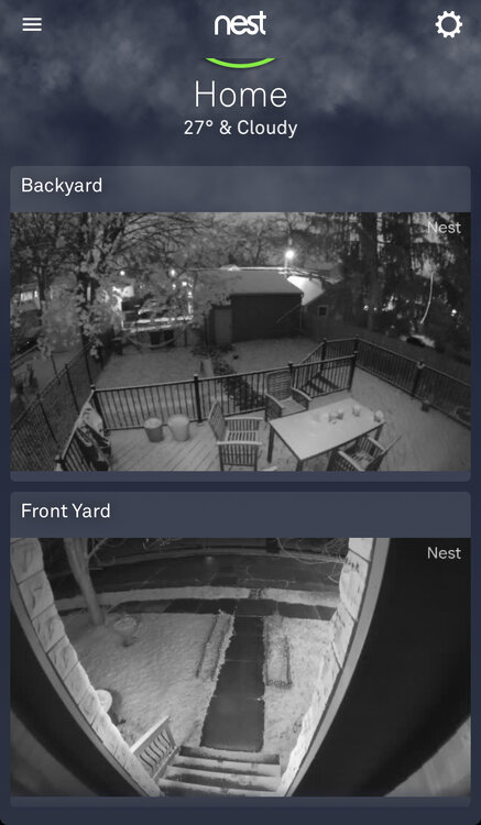
0.8” event total snowfall for Minneapolis -
November 2024 General Discussion
OrdIowPitMsp replied to SchaumburgStormer's topic in Lakes/Ohio Valley
- 308 replies
-
- 10
-

-
November 2024 General Discussion
OrdIowPitMsp replied to SchaumburgStormer's topic in Lakes/Ohio Valley
MSP reported 0.1” on the day at 4pm. Will probably tack on a couple more tenths with the wave moving through right now. -
November 2024 General Discussion
OrdIowPitMsp replied to SchaumburgStormer's topic in Lakes/Ohio Valley
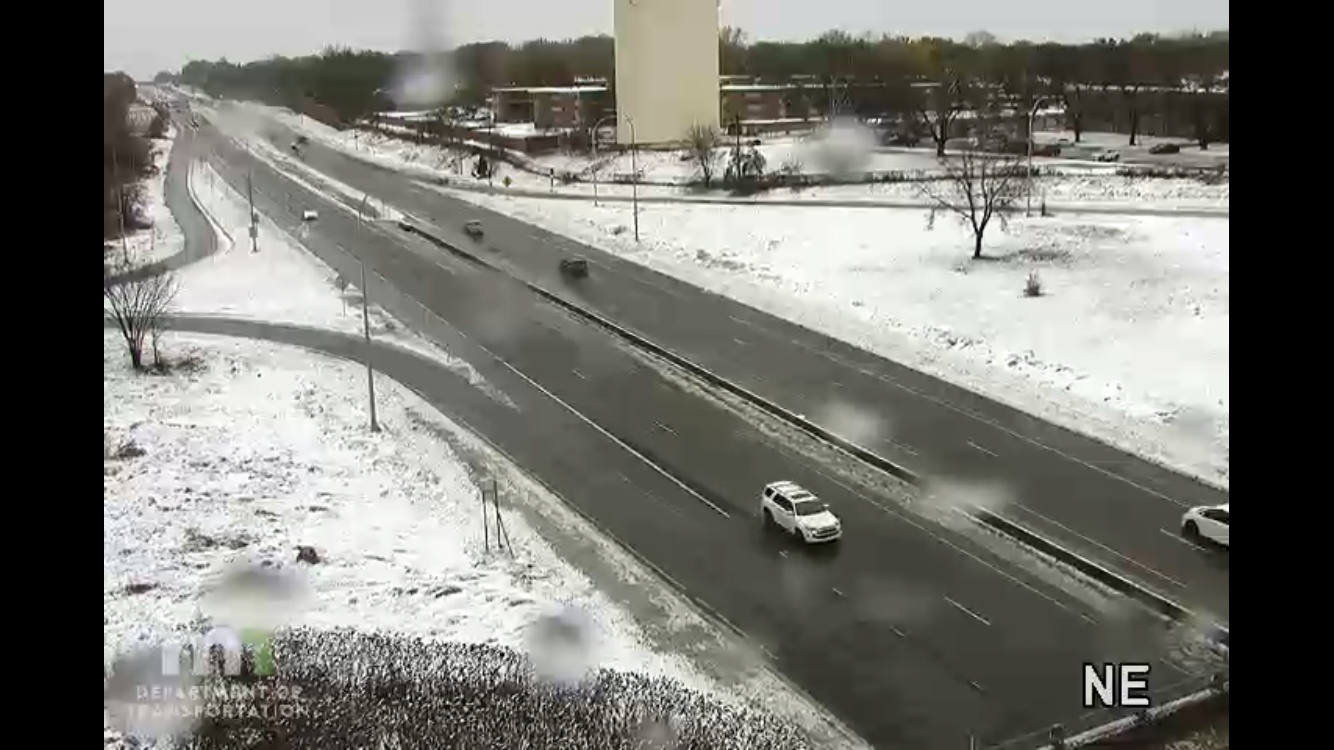
Heavy snow showers coming through the metro just in time for the evening rush. South of town is really going to cash in. -
November 2024 General Discussion
OrdIowPitMsp replied to SchaumburgStormer's topic in Lakes/Ohio Valley
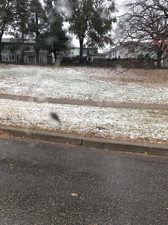
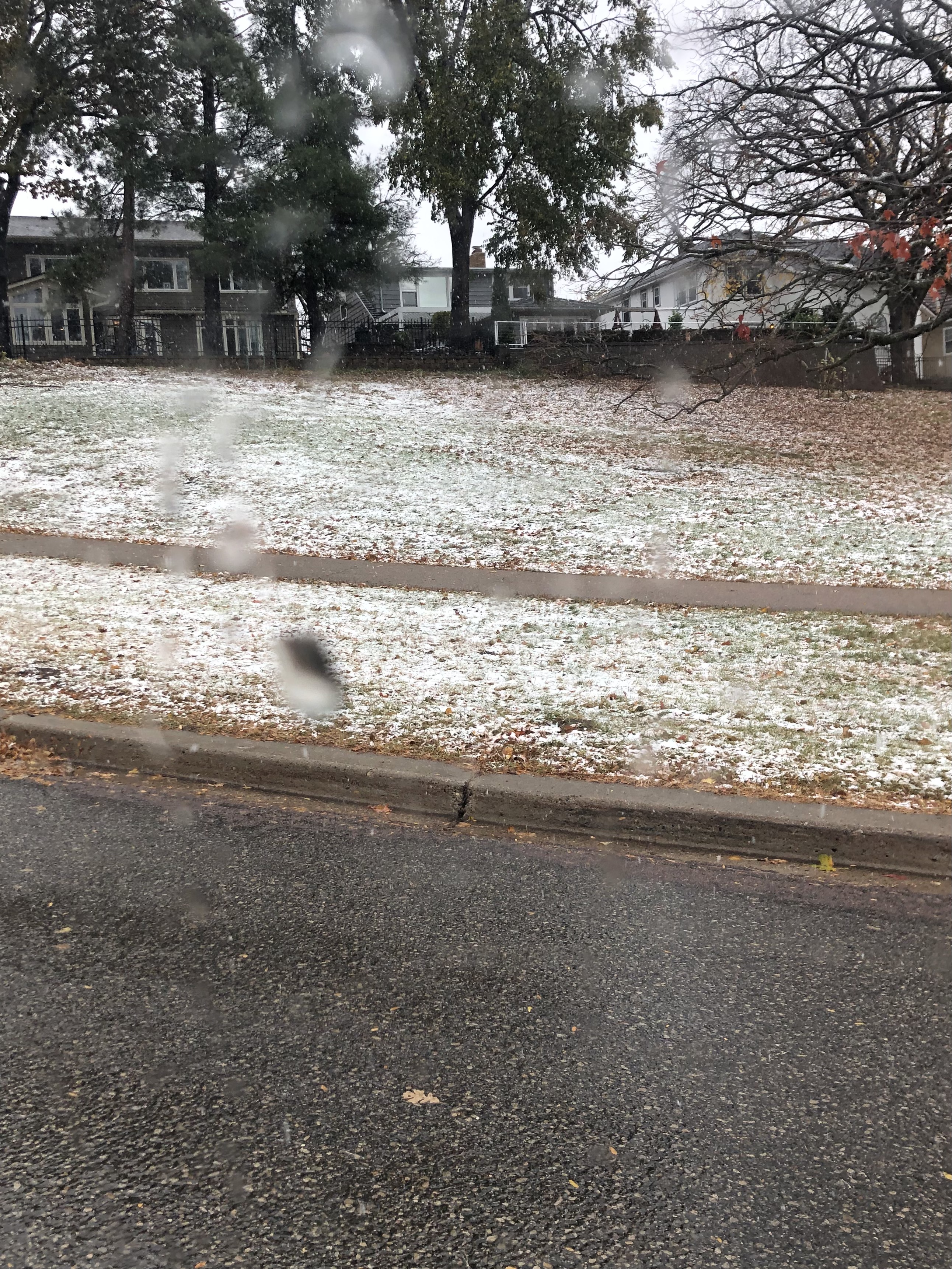
30 and snow showers. Ground is already white and it looks like on/off snow showers most of the day today. -
18z GFS has me below zero on Black Friday. Don’t think it will be that cold, but nonetheless great to see NW flow showing up instead of relentless pacific air masses.
-
November 2024 General Discussion
OrdIowPitMsp replied to SchaumburgStormer's topic in Lakes/Ohio Valley
CAA has arrived imby. Hoping to get lucky and score a poor mans snow squall tomorrow for a DAB. -
November 2024 General Discussion
OrdIowPitMsp replied to SchaumburgStormer's topic in Lakes/Ohio Valley
1.10” here, lower end of guidance but still a healthy event. Temps warmed from 43 to 55 overnight, they will slowly drop throughout the day and then crash below freezing tonight. -
November 2024 General Discussion
OrdIowPitMsp replied to SchaumburgStormer's topic in Lakes/Ohio Valley
30” at 10-1 imby. I’ll be satisfied with 10% of that. -
Well it’s definitely going to rain a lot next week. Will be great to get that moisture before soils freeze up. Feeling much less confident about snow prospects, however a string of highs in the 30s will feel frigid with the autumn we’ve had.
-
Pretty much the same for me. It’s nice to check the hi-res models in summer to see if I’ll score some convection later in the day.
-
Checking every model run to see updates on a potential cutoff low next week. Winter must be here.
-
November 2024 General Discussion
OrdIowPitMsp replied to SchaumburgStormer's topic in Lakes/Ohio Valley
MSP is one of the top UHI locations in the country. Suburbs have had numerous sub freezing mornings in the mid 20s, but the city has only had 2 official freezes. It has been a very warm autumn as well. -
November 2024 General Discussion
OrdIowPitMsp replied to SchaumburgStormer's topic in Lakes/Ohio Valley
30 this morning. Coldest low of the season. -
November 2024 General Discussion
OrdIowPitMsp replied to SchaumburgStormer's topic in Lakes/Ohio Valley
34 and super dense fog this morning. -
November 2024 General Discussion
OrdIowPitMsp replied to SchaumburgStormer's topic in Lakes/Ohio Valley
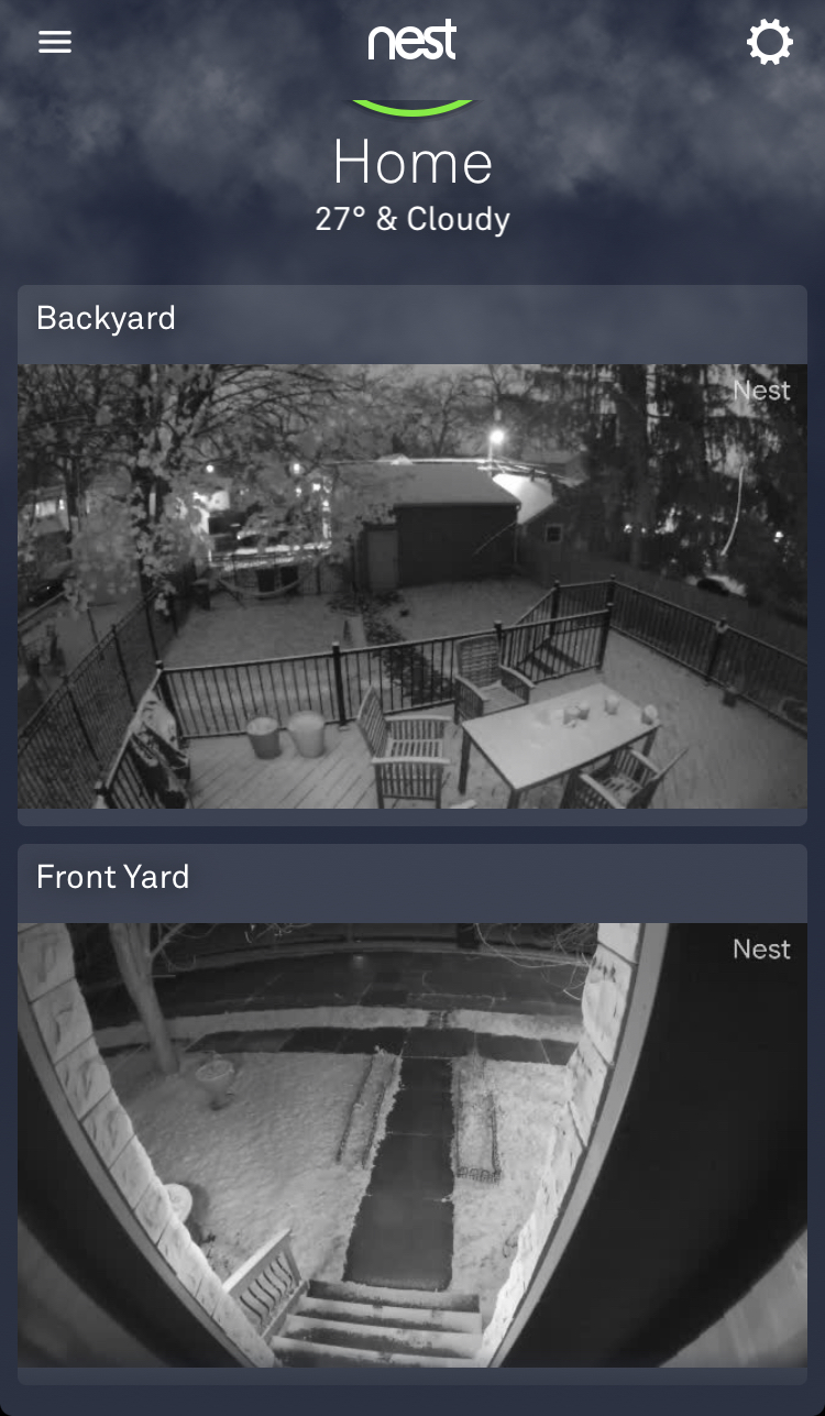
November opens with a low of 31 and the first official freeze at the airport. -
Minneapolis officially received 0.2” of snow yesterday, western suburbs received between 1-4” The low fell to 31 at the airport giving us our first official freeze of the season. 2024 will be the wettest Halloween on record with 1.26” of liquid precipitation, breaking the record of 0.85” in 1991.
-
Yep two in a row, last year was much snowier but this still counts. Western suburbs have snowcover, for the most part it was white rain here in the city. Warmest autumn so far on record and we still manage our first snowflakes in October.
-
Northwest suburbs looking good.
-
It ain’t much but we are on the board for the 24/25 snow season.