DownpourDave
-
Posts
1,353 -
Joined
-
Last visited
Content Type
Profiles
Blogs
Forums
American Weather
Media Demo
Store
Gallery
Everything posted by DownpourDave
-
revising my guess same pressure as my guess before but ill up my wind guess to 200 mph (EF5 Tornado)
-
it will be there in 30 min it will beat the ERC.
-
890mb, Wind Speed High-End EF4 Tornado. (180 mph)
-
if you want min by min updates https://weather.cod.edu/satrad/?parms=meso-meso2-13-24-0-100-1&checked=map&colorbar=data
-
so they fly slower than commercial airlines it seems. Is that a correct take?
-
seems like there is a legit chance it can get a few passes in before landfall, assuming it does not turn back. for what its worth, HWRF seems to think this is a current 930mb storm with it getting down to 925mb before landfall.
-
maybe the "next" recon mission will be the one.
-
welp I guess the recon was canceled. Not updating on tidbits
-
do we know when the next recon flight is. Seems like now would be a perfect time to be getting data.
-
The structure still looks amazing. Wow! Radar velocities still around 110-125mph. only 1,800 feet up in the atmosphere.
-
how long after Katrina did the levees fail?
-
At least no sign of levee failure so far which is great news.
-
So will the eyewall be going over New Orleans. It is kind of hard to tell.
-
recon found 115 knot flight level winds.. might be enough for an upgrade.
-
-
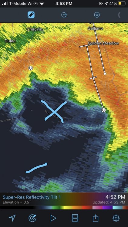
btw it has made landfall it seems or nearly at that. Eye is clearly over one of the outer islands.
-
radar velocities up to 140 mph 8,000 feet up. 115 mph is definitely defendable for the surface.
-
Upstate NY Banter and General Discussion..
DownpourDave replied to wolfie09's topic in Upstate New York/Pennsylvania
Dude this is a bad a take. -
tropical cyclone/transitioning giving a foot of snow. That would be a first. I wonder would you even call this a nor'easter. Technically it is a tropical cyclone hybrid.
-
That's a little complicated to be certain. Granted, speculation here; but two points: 1) It would not have needed a full day at the rate the pressure fall it was experiencing into landfall to have become a more intense. Between 4:30AM and 10:30AM CDT recon missions recorded a pressure drop from 937 mb to 923 mb. The last pass recorded 919 mb at 12:30PM CDT. A mere six more hours over those above-normal GOM SSTs and exquisite upper tropospheric conditions and it would have likely bottomed out around 910 hPa, taking into account some leveling off as well. At that rate of pressure fall and gradient increase, even nine more hours we would have seen Michael flirt with 150-160 kts (175-185 mph) winds. 2) On the other hand, the eye was also contracting and a concentric band was beginning to form. So given too much more time, very probable that an ERC would have most likely initiated given another full 24 hrs, and we would have likely seen Michael level off and weaken. Yeah and I guess it was flirting with MPI so it couldn't have strengthened too much more. Would have naturally leveled off........ even without an ERC.
-
I know it was intensifying up until landfall. One can wonder how much stronger it would have gotten if it had another day over water. 185 mph? 190 mph?
-
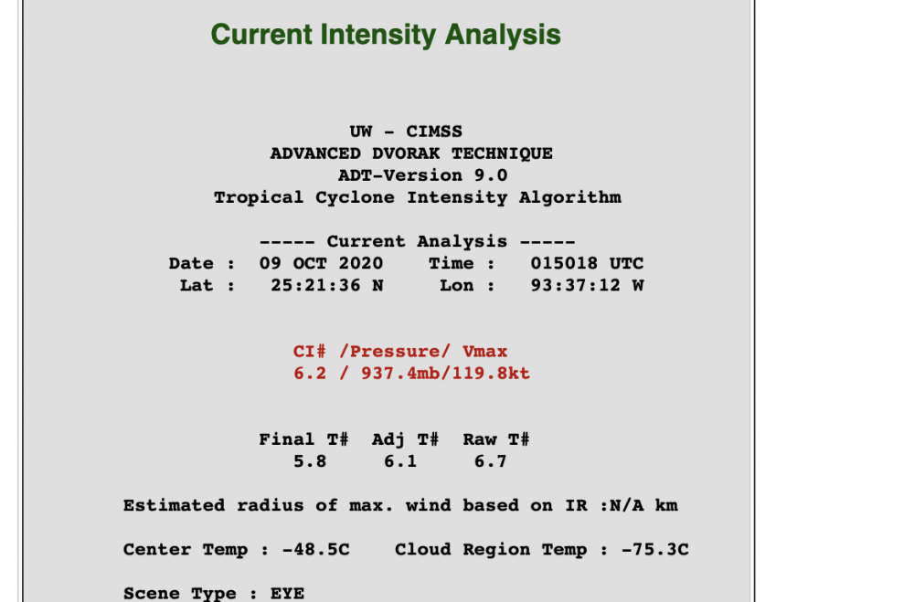
Obviously just another data point< Hurricane Hunter Data but interesting anyways.
-
um.....

-
Any signs of activity after Delta?
-
Upstate NY Banter and General Discussion..
DownpourDave replied to wolfie09's topic in Upstate New York/Pennsylvania
Have you guys heard of Letchworth State Park. I've heard its a pretty nice park to go to. I think it is around an hour from Geneva.