DownpourDave
-
Posts
1,353 -
Joined
-
Last visited
Content Type
Profiles
Blogs
Forums
American Weather
Media Demo
Store
Gallery
Everything posted by DownpourDave
-
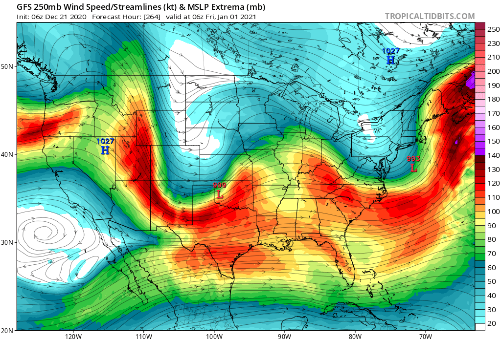
I respectfully disagree. The gfs a few days ago did outline a scenario that would work that was just southern wave with no or little NS interaction. You just need the southern wave at H5 to track in the right location.
-
if they aren't going to phase it would be better if the NS system was just completely out of the way.
-
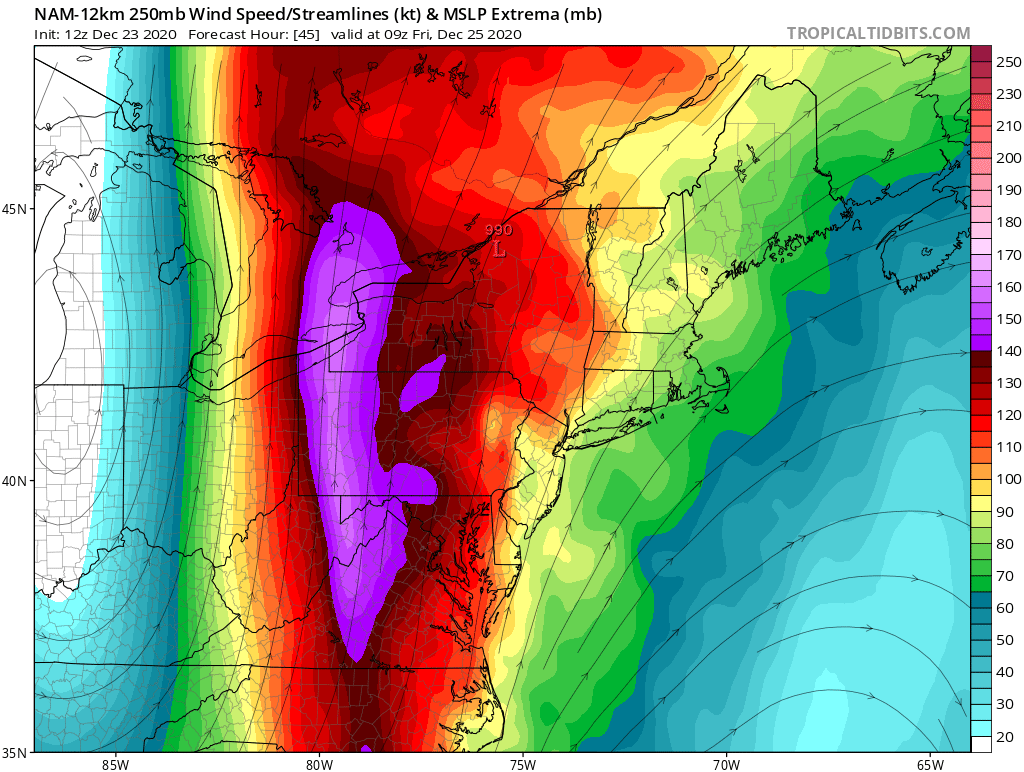
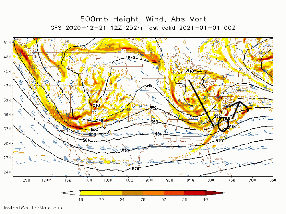
You want the interaction between those two pieces to be more favorable. As modeled, the piece marked as the "X" acts as a "kicker" which is why the coastal storm does not climb the coast.
-
2020 Mid-Atlantic Severe Weather - General Thread
DownpourDave replied to Kmlwx's topic in Mid Atlantic
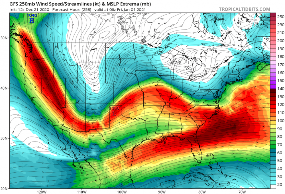
Also I assume the area being in the right entrance region of the jet-streak is contributing as well promoting rising air through upper-level divergence.
-
Regardless how this ends up, love the look of a strong high pressure overtop to prevent the storm from cutting. Edit: Unfortunately, the high pressure system moves out of the way allowing the low pressure system over Texas to cut.

-
2020 Mid-Atlantic Severe Weather - General Thread
DownpourDave replied to Kmlwx's topic in Mid Atlantic
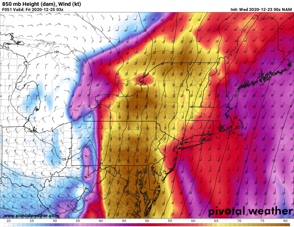
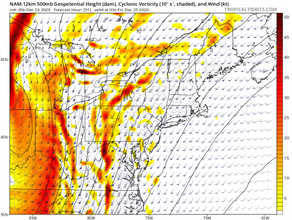
There is no strong inversion on this sounding near DC as per the 00z NAM as seen below. This should allow for there to be a greater chance of the strong winds at 850mb to be able to mix down. The squall line as predicted by the NAM should further help to mix down the winds from the LLJ. The second image below shows the predicted 850mb winds Lastly, there is PVA present so I am by no means in expert but that could be a source to lift up the air parcels absent CAPE which is maybe why the NAM is forecasting a squall line?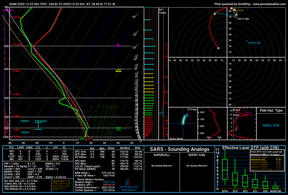
-
Just out of curiosity, how did you decide on specifically the 1/21/16, 12/08/09, 2/12/83 events for your composite.
-
I'm sure if Ji lived in Watertown, NY he would still find some reason to complain.
-
Could easily go away next run but the euro shows potential around New Years as have other models to varying degrees.
-
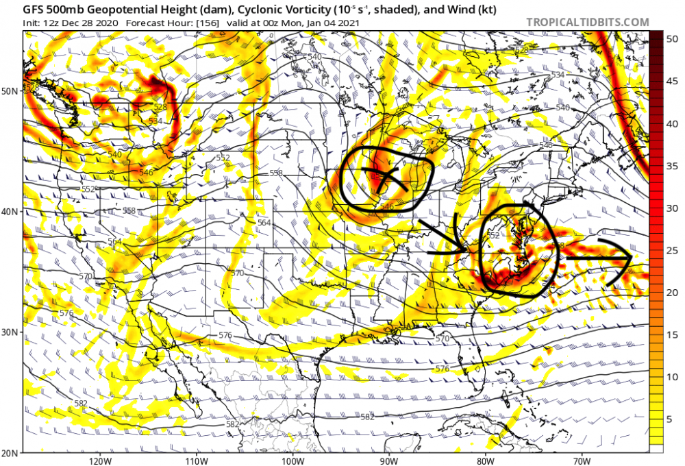
System stays weaker this run because the jet-streak upstream is weaker and there is not as much curvature. 6z 12z

-
That arrow should be more ENE but you get the idea.
-
Day 10 gfs is actually a pretty good setup. It holding is another matter though.
-
I can tell you that as a trained spotter it also matters how often you clean the board. I believe it should be every 6 hours you clean it once but yeah clearing it before the sleet was a good idea. That should count yes.
-
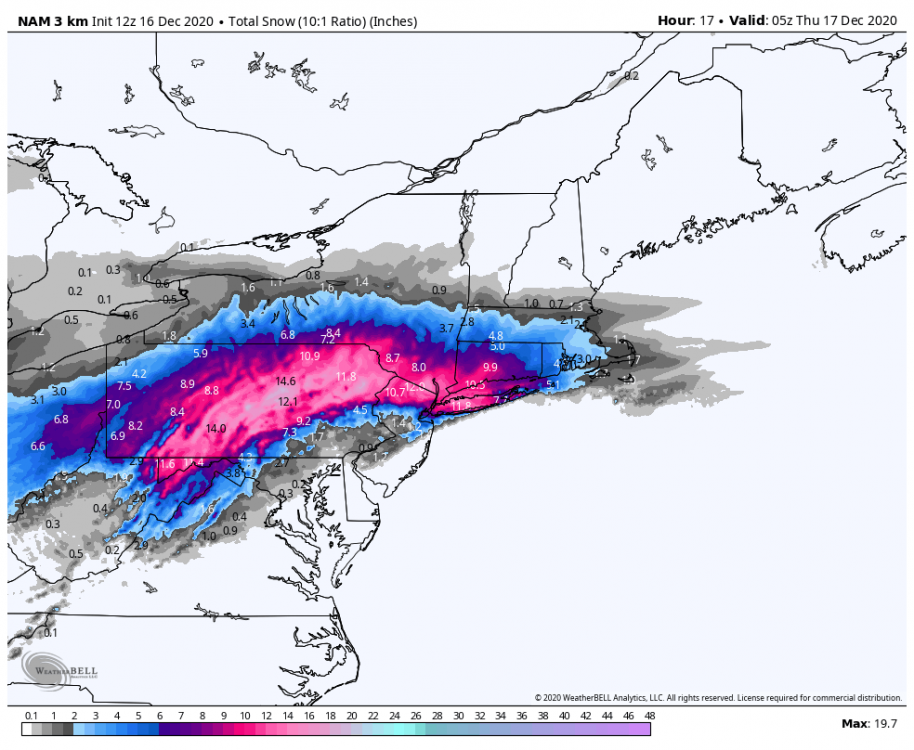
Starting to sleet again it seems in bursts
-
Still mostly snow but sleet line has passed Wilmington. I am 5 miles north of there. It is only a matter of time.
-
How much you got?. I measured around 5 inches just now. An impressive 1.5 inches within the past 45 min.
-
December 16-17, 2020 Winter Storm
DownpourDave replied to Ralph Wiggum's topic in Philadelphia Region
My benchmark is 5 inches of snow. And then hopefully an inch of sleet on top of that to preserve our snow cover. I am hoping the incredible heavy rates slow down the sleet line. -
December 16-17, 2020 Winter Storm
DownpourDave replied to Ralph Wiggum's topic in Philadelphia Region
@KamuSnow I think we change to sleet soon. Only 10-15 miles to our south.... ugh -
I am currently in the pink. It is epic man!
-
this hobby sucks. Sleepless nights for no reason. The stress isn't worth it
-
December 16-17, 2020 Winter Storm
DownpourDave replied to Ralph Wiggum's topic in Philadelphia Region
So should I take a drive up I-476 N tomorrow just so I do not miss this lol. It is so tempting. -
December 16-17, 2020 Winter Storm
DownpourDave replied to Ralph Wiggum's topic in Philadelphia Region
the cool thing is 3 inches of sleet will last a really long time, I would argue it would last longer than 1 foot of snow. All that compact ice will not go away easily. Go big or go home right. If we are going to get sleet might as well get as much sleet as possible. Still would be cool. -
December 16-17, 2020 Winter Storm
DownpourDave replied to Ralph Wiggum's topic in Philadelphia Region
never again will I start tracking until inside of 72 hours..... hell who am I kidding I always fall for it -
December 16-17, 2020 Winter Storm
DownpourDave replied to Ralph Wiggum's topic in Philadelphia Region
does sleet accumulation count for winter season snow total lol -
December 16-17, 2020 Winter Storm
DownpourDave replied to Ralph Wiggum's topic in Philadelphia Region
I think philly gets 3 inches..... of sleet.