
snowmagnet
-
Posts
1,170 -
Joined
-
Last visited
Content Type
Profiles
Blogs
Forums
American Weather
Media Demo
Store
Gallery
Everything posted by snowmagnet
-
A friend from Nashville said they have 5". I don't think that was really expected. Hopefully that portends over performance here as well.
-
Nah. Most will be closed tomorrow (except DC), with probably a delay on Wednesday.
-
Yeah. We have about 14 days built in based on counting hours.
-
My daughter is driving back to UMW in Fredericksburg today around noon. I’m hoping that is the best time for the least snow.
-
I already have more than all of last winter. Looking forward to an El Niño winter!
-
If this is over performing in TN, is that a good indicator that we could do the same?
-
Has the NWS expected snowfall map changed since yesterday afternoon? I can’t find it. It’s been 2 years since there has been any actual expected snowfall!
-
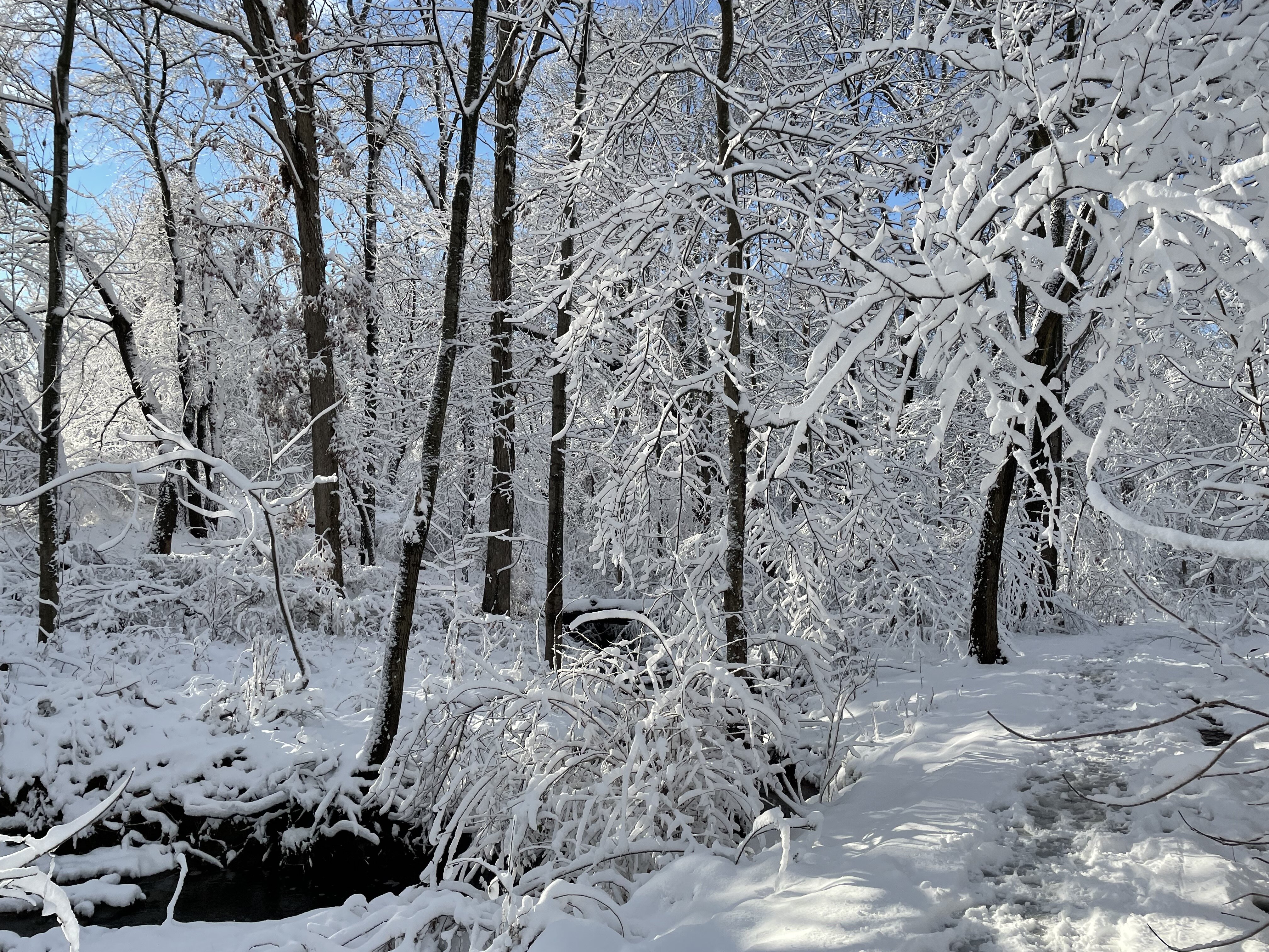
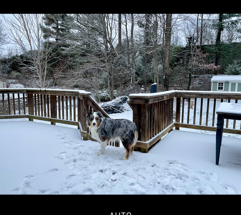
I’ve got an inch on my deck in Fairfax/Herndon. It’s not snowing currently.
-
Relax and enjoy it- let’s hope for an overperformer. Hopefully Friday will come back around like this one has.
-

Jan Medium/Long Range Disco 2: Total Obliteration is Coming
snowmagnet replied to Jebman's topic in Mid Atlantic
My mom attended Kennedy’s inauguration in the snow. I don’t think it was a blizzard or she wouldn’t have been there. -
Jan 15-16 Storm Threat Thread: The Return of Hope??
snowmagnet replied to stormtracker's topic in Mid Atlantic
That’s been my worry too. They used to go all conservative and then have to up their totals. -
Jan 15-16 Storm Threat Thread: The Return of Hope??
snowmagnet replied to stormtracker's topic in Mid Atlantic
CWG is the opposite. 1-2" of light snow with little impact? -
Jan 15-16 Storm Threat Thread: The Return of Hope??
snowmagnet replied to stormtracker's topic in Mid Atlantic
Thank you. That will work. -
Jan 15-16 Storm Threat Thread: The Return of Hope??
snowmagnet replied to stormtracker's topic in Mid Atlantic
Wait- so snow is starting tomorrow rather than Monday night? But more Monday night? I would like to request 24 hours. Monday night to Tuesday night works. Can we just get 1 SNOW day?? It’s been 2 years. thanks, Desperate Fairfax Co Teacher -
Jan Medium/Long Range Disco 2: Total Obliteration is Coming
snowmagnet replied to Jebman's topic in Mid Atlantic
Is the pattern still looking good into the long-range? Or did we lose that as well. -
Jan Medium/Long Range Disco 2: Total Obliteration is Coming
snowmagnet replied to Jebman's topic in Mid Atlantic
I really don’t think the Euro has done as well as it used to. I could be wrong, but I don’t believe it has been upgraded for quite a while. -
Jan Medium/Long Range Disco 2: Total Obliteration is Coming
snowmagnet replied to Jebman's topic in Mid Atlantic
That’s what I keep saying to people. It’s classic mid-range Euro confusion. Happened in 13-15 a lot. -
Jan Medium/Long Range Disco 2: Total Obliteration is Coming
snowmagnet replied to Jebman's topic in Mid Atlantic
I’m just catching up on posts since 9 pm and wonder when some of you sleep. Just based on following the models and learning from experts on this forum and SM for over 10 years, I’ve noticed that the Euro often has had a habit of sniffing out storms early, losing them in the mid-range, and then coming back. I remember this quite a bit in 2013-2015. I am feeling good about actually getting snow on Tuesday. -
Jan Medium/Long Range Disco: Winter is coming
snowmagnet replied to stormtracker's topic in Mid Atlantic
Top Analog is Feb 2010. That works for me. -
Jan Medium/Long Range Disco: Winter is coming
snowmagnet replied to stormtracker's topic in Mid Atlantic
Happy Happy Hour! Looking forward to a snowier 2024. It looks like we are off to a good start. I sure have missed this. -
I came on here expecting some Euro info, but forgot that DST pushes everything later.
-
How bad is this wind going to get? I saw that they have issued an advisory starting tomorrow.
-
That was over us last week.
-
I want to buy wave 2.
-
March Medium/Long Range Thread: The Empire Strikes Back
snowmagnet replied to stormtracker's topic in Mid Atlantic
There is a lot of positivity here. It’s good to see HH actually “happy” for a change!


