BlunderStorm
-
Posts
1,122 -
Joined
-
Last visited
Content Type
Profiles
Blogs
Forums
American Weather
Media Demo
Store
Gallery
Everything posted by BlunderStorm
-

December 8-10 Storm Discussion
BlunderStorm replied to Holston_River_Rambler's topic in Tennessee Valley
Just pivotal. -
December 8-10 Storm Discussion
BlunderStorm replied to Holston_River_Rambler's topic in Tennessee Valley
The GEFS just keeps looking better and better. Check it out at 114 hrs. -
December 8-10 Storm Discussion
BlunderStorm replied to Holston_River_Rambler's topic in Tennessee Valley
Northwest flow snow is geographical positioning and luck above all else. Elevation doesn't always get the job done for these things. It may help but it won't save the day in elevated valleys. Big A causes downsloping like clockwork for every NWF event. I see the snow showers come charging in and virtually hit a wall at the county line. Had that snow squall not slid in just right I'd have been reporting a glorified dusting of 0.2 in like yesterday. You know it's a good day to be a weather lover when snow is coming down hard as you mark observations and your looking at the modeling for a potentially much bigger event in a few days. -
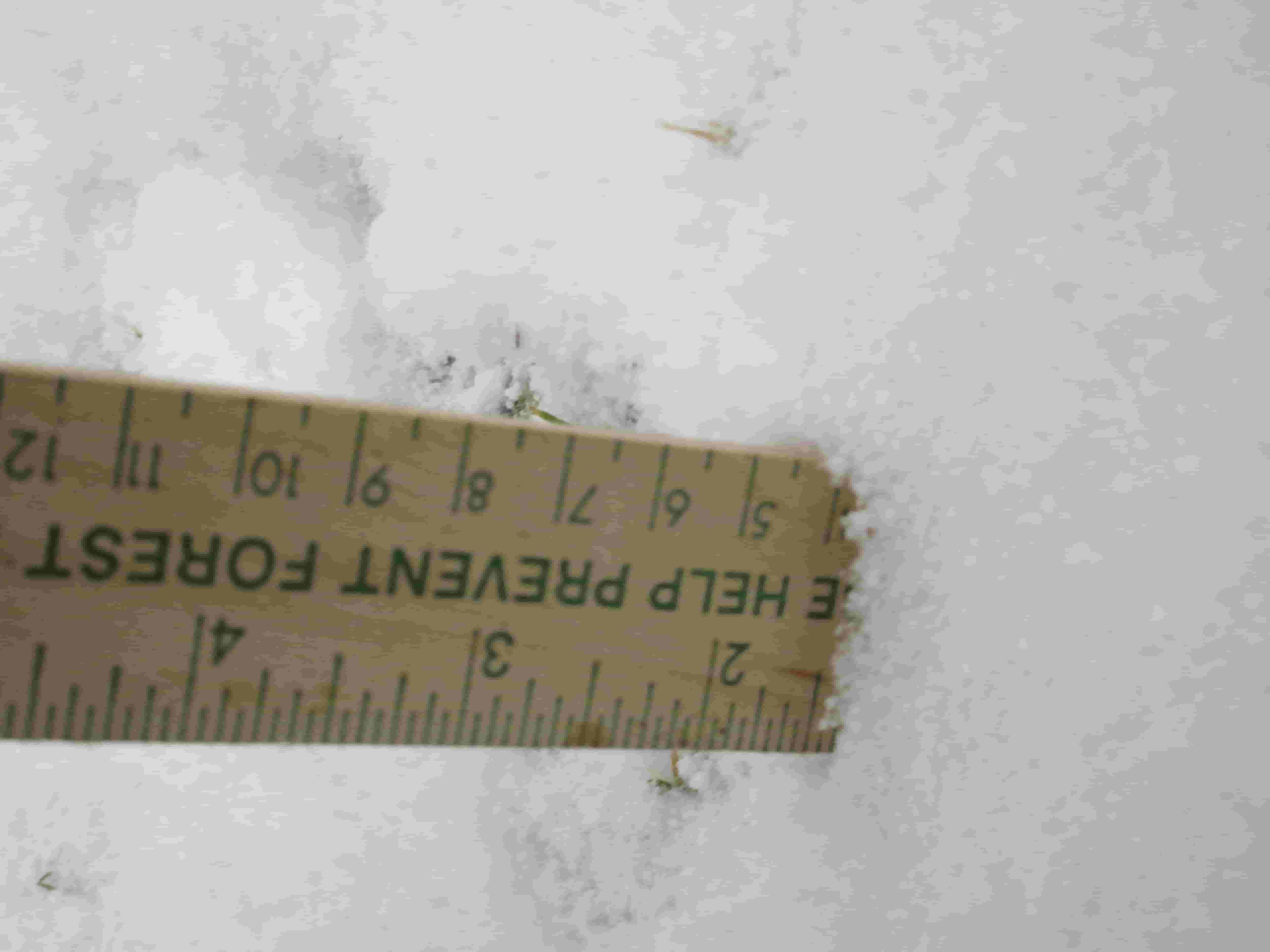
Thanks, looks like I can call today's snow accumulation early. In total 1.5 inches fell with some flurries/light snowfall both before and after the snow squalls. This brings the seasonal total just under 3 inches. Note: I'll post some images later when I get the time to. At some point I'll start an album and just send a link to it.

- 355 replies
-
- 1
-

-
- observations
- measurements
- (and 15 more)
-
December 8-10 Storm Discussion
BlunderStorm replied to Holston_River_Rambler's topic in Tennessee Valley
I would think downslope out of the two but I don't know what causes such a dramatic difference. -
December 8-10 Storm Discussion
BlunderStorm replied to Holston_River_Rambler's topic in Tennessee Valley
Welcome aboard, It's ok to blur the boundaries a little, Mountain Man is in southern West Virginia and we often get visited by posters in the deep south and Arkansas. -
December 8-10 Storm Discussion
BlunderStorm replied to Holston_River_Rambler's topic in Tennessee Valley
Most model guidance would suggest it will be too warm for snow on Sunday in southern Tennessee. That said nothing is really set yet so I would keep a sharp eye on the forecasts, models, and forum discussion for the next day or two. -
December 8-10 Storm Discussion
BlunderStorm replied to Holston_River_Rambler's topic in Tennessee Valley
Climatically your better off than all of us. We have quite the storm coming up and you could be standing at ground zero. Welcome to the Tennessee Valley it's nice to see someone to the northeast of Honaker. -
December 8-10 Storm Discussion
BlunderStorm replied to Holston_River_Rambler's topic in Tennessee Valley
A great run of the Euro here with 1.3 in. IMBY atm! Yahoo! -
December 8-10 Storm Discussion
BlunderStorm replied to Holston_River_Rambler's topic in Tennessee Valley
Glad to hear it. I look forward to seeing the map. -
December 8-10 Storm Discussion
BlunderStorm replied to Holston_River_Rambler's topic in Tennessee Valley
If you stick to I-75 heading back you should be ok. You may be able to pass through the blue ridge if the storm fell on the warmer side of possibilities but I wouldn't risk it. -
Absolutely beautiful outside right now. A snow squall is passing over with bursts of 2-3 in. an hour rates. Some of the snow is coming down over an inch in diameter. I finally got my share haha. Since it's arrival the temperature has dropped a whole 5 degrees from 32 to 27! UPDATE 1: Temperatures have risen back to 29 but it is still snowing at a light to moderate rate. Soon, I will take a measurement once this period of snow ends. UPDATE 2: Another smaller snow squall is currently (1:14 ) passing over with more heavy rates. UPDATE 3: A good 1.3 inches of snow IMBY fell in the last hour and a half. A few snow showers may follow after but this looks to be the end of the snow squalls.
- 355 replies
-
- 2
-
-

-
- observations
- measurements
- (and 15 more)
-
December 8-10 Storm Discussion
BlunderStorm replied to Holston_River_Rambler's topic in Tennessee Valley
It helps that the storm begins overnight. I don't think it will help us much off the surface though. -
I've managed to dodge most bands of snow but I'm not complaining. I hope your getting hammered over there John.
-
December 8-10 Storm Discussion
BlunderStorm replied to Holston_River_Rambler's topic in Tennessee Valley
Good morning everyone. Well looks like I was "snowed in" for a quarter of inch of snow. I don't care why I'm just glad to have a break midway through the week for model watching. After viewing 6z I'm feeling more comfortable than I was last night. The ICON has believe it or not improved but is far from ideal here and certainly not in Tennessee. -
December 8-10 Storm Discussion
BlunderStorm replied to Holston_River_Rambler's topic in Tennessee Valley
For a bit there I wasn't sure how bad the news on the Euro was so I avoided checking and instead watched it as it played out slowly which I often do when I expect to be disappointed.To my surprise there was just a loss of 2 inches give or take another and the storm followed a similar route as the other model guidance. The run acts as a reminder of how shaky they can be over 3 days out. -
Education and Questions/Discussion Regarding Weather Features
BlunderStorm replied to EastKnox's topic in Tennessee Valley
Thank you for the explanation. I had a partial understanding before this just picking up on things but this really cleared things up. -
It's very hard to pin down but I think I will mark Tuesday as having 0.2 in. Temperatures have gradually cooled and it is now 30. Some increased snow shower activity to the WNW of me is making it over Big A Mountain surviving the downslope.
-
December 8-10 Storm Discussion
BlunderStorm replied to Holston_River_Rambler's topic in Tennessee Valley
Well temperatures both on the ground and at 850mb seemed good. I saw no ice or sleet so the upper layers seemed to be in agreement with the surface with the exception of a little zr over Kentucky at the beginning. Other than Tropical Tidbits possibly failing to accurately depict snowfall accumulation it would seem to accurately depict what the FV3 was showing. I'm sure the snow depth maps will be less impressive but what else is new? It's funny to think that I am trying to judge the accuracy of something that depicts something that predicts the future condition of the atmosphere with the use of advanced algorithm with countless calculations applied by people who collected data that others observed. Now I have a headache. It's an amazing time to be alive. -
December 8-10 Storm Discussion
BlunderStorm replied to Holston_River_Rambler's topic in Tennessee Valley
Tonight the GEFS shows a minor improvement over it's last run for Tennessee. The most notable change is an increase in the area of significant snowfall in West Virginia and Virginia. It looks like there is a movement to the north of the heaviest snowfall in the Carolinas but it's pretty insignificant. -
Winter 'Tis the Season Banter Thread 2018-2019
BlunderStorm replied to Carvers Gap's topic in Tennessee Valley
It takes a yard of snow on the ground to entirely stop my desire for more. And also... ICON -
December 8-10 Storm Discussion
BlunderStorm replied to Holston_River_Rambler's topic in Tennessee Valley
Well to be fair I was just looking at the pressure with that. The actual storm is still out of range anyway. To be honest I'm not sure of what exactly we want to see for that. I would guess it depends on the circumstances of everything else around it and how that would progress outside of it's range. As a general rule though I do believe you want to see a strong high that limits WAA and aids in CAA. As to if that applies in this case? I leave that stuff to Jeff. -
December 8-10 Storm Discussion
BlunderStorm replied to Holston_River_Rambler's topic in Tennessee Valley
The High is looking stronger, further south, and laid out somewhat differently at the end of the most recent NAM. Now we await the ICON which I keep at the very low standard of snowing in the region at all anywhere. -
December 8-10 Storm Discussion
BlunderStorm replied to Holston_River_Rambler's topic in Tennessee Valley
I thought I'd go ahead and steal this from the SE forum. Something to gaze at before 0z. I hope we get FV3 back. -
December 8-10 Storm Discussion
BlunderStorm replied to Holston_River_Rambler's topic in Tennessee Valley
Now if that could translate to something on an operational I'd feel better...