
Matthew70
-
Posts
1,309 -
Joined
-
Last visited
Content Type
Profiles
Blogs
Forums
American Weather
Media Demo
Store
Gallery
Everything posted by Matthew70
-
Seems the past few years there has been a fropa come thru right before the 4th to make it very comfortable to watch the fireworks at night. Maybe this year is the same.
-
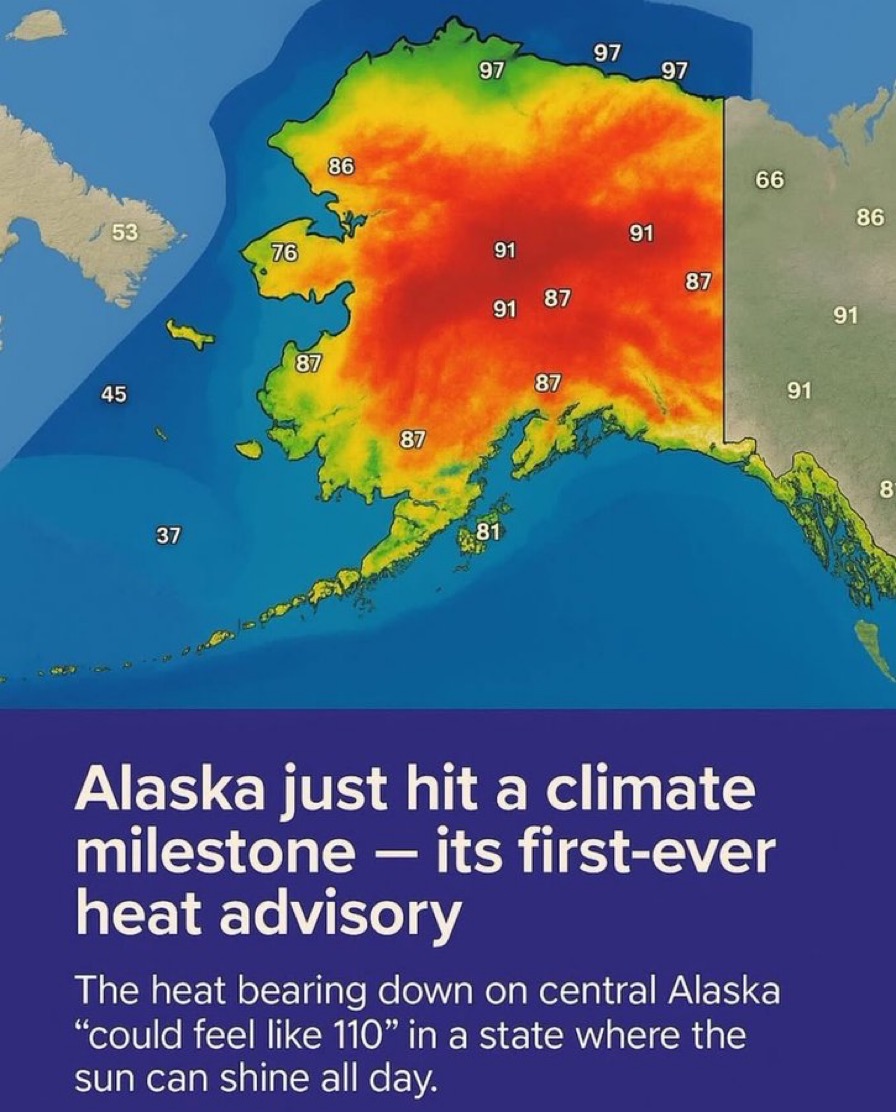
Apparently that heat advisory was from last week someone found out. One thing that does seem to be a lot more frequent across the globe is flooding. Maybe it seems like it due to social media. China just had biblical type floods. They have added afternoon storms to the forecast here pretty much thru next week. The heat appears to be moving back to the west more after today. I must say it’s crazy how wet & green everything is.
-
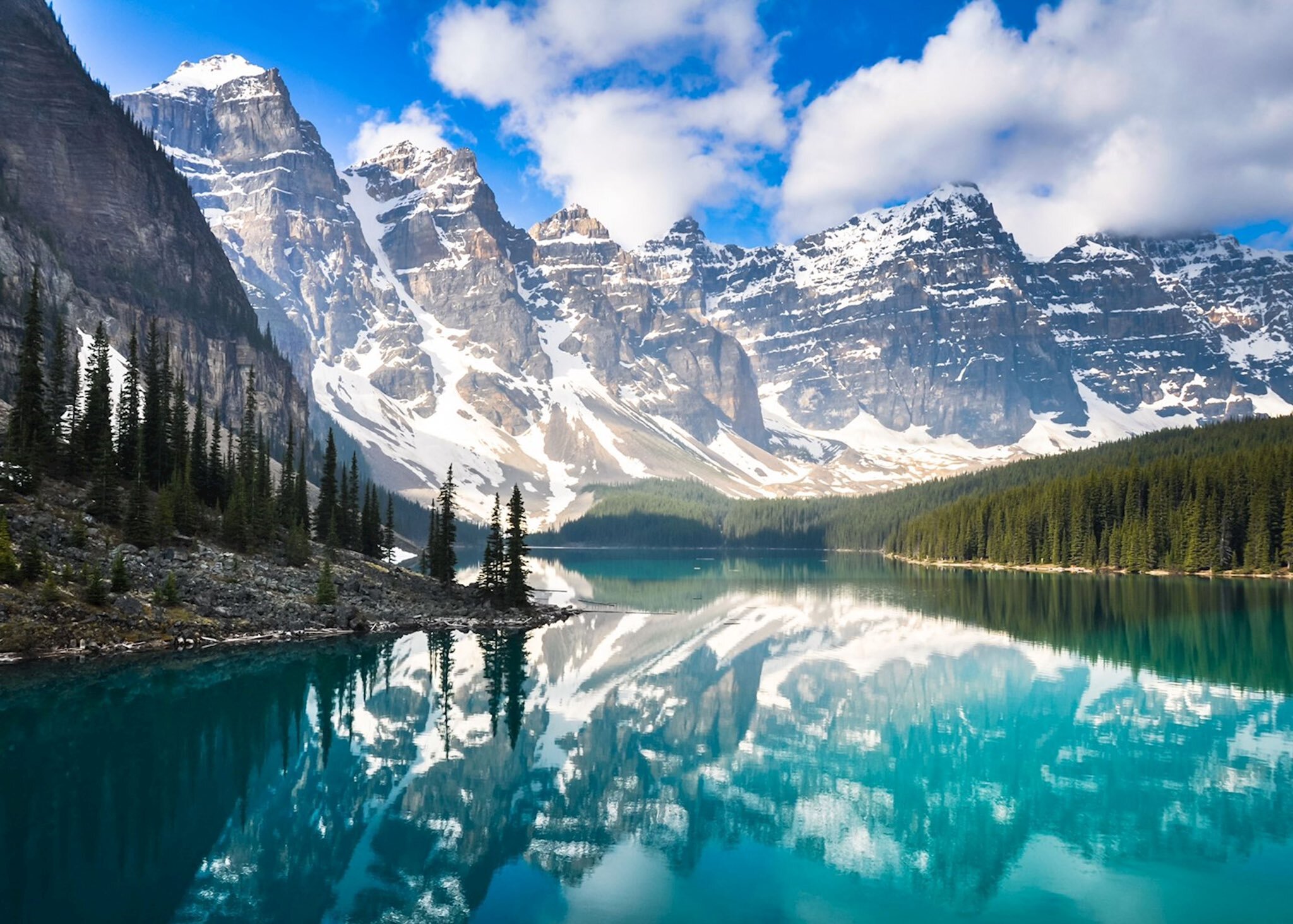
I also saw where there was snow at Lake Tahoe.
-
This can not be good for long term effects.
-
Crazy how much rain we continue to get here in middle TN. Looks like lower 90’s is showing up. I’m thankful we have held those temps off till the middle of June. Hopefully the moisture in the soil will keep high 90’s at bay. The trade off is higher humidity but I’d rather have that than dry & hot. Everything is so green still. My yard is thriving. For me so far the late spring/early summer has been fantastic. A+!
-
Well so far the month of June has kept the trend going. Wet at times & no temps in the middle to high 90’s. The next 2 weeks look to be the same. Let’s hope this is the summer pattern for quite some time. The longer the heat dome is pushed back the shorter time we have to deal with it.
-
Absolutely perfection wx today. Nice stiff cool breeze with no humidity. My grass & landscape is thriving! Please give me this wx thru the summer!
-
A few normal days with warm temperatures then back down to low 80’s & chances of rain. Sat outside under our lights on the porch last night. No skitters or bugs. Quite cool & loved it. Have also been sitting on our screen porch a lot. These temps are fantastic & everything is so green! Winning summer so far!
-
Wow. Thats incredible. I saw where in upper Maine it snowed a lot. Which has not happened this late in a long long time. This has been one damp, cooler memorial weekend. Usually it’s hot by now. Looking at next 2 weeks. Temps stay in 80-85 range. Which is great for going into June. I believe we have cut out about 4-5 weeks of summer already. The longer the heat is put off the shorter a brutal summer usually has.
-
Incredible May this is turning out to be. Neighborhood entrance flooded for first time ever in 19 years last week. Now more heavy flooding rains. I read the AMO was going negative for first time in a long long time. Read also it will change the wx patterns dramatically. Maybe this is the beginning. I don’t remember a May being this wet & cool.
-
The wet & cooler May is continuing it appears now till June. We have actually had a spring this year. The longer the 90’s are put off the better!
-
Well middle has cleared out & baking.
-
Tuesday. Tuesday. Does the trend continue to keep tornadoes away from the state. We shall see.
-
Unbelievable now another tornado in London. Back to back. Sadly this is most likely an historic event unfolding in the SE KY area. More than likely 2-EF4 tornadoes back to back. Truly sad.
-
Edmonton KY Storm is a beast. Plenty of open space for it. Stay safe John.
-
The terrific May wx continues. Looks like temps are spring like with the showers & storms thrown in for the next 2 weeks. Everything is so green. My yard & landscape best it’s looked in a long time. So my first woolly worm today. All black. Wonder if that’s saying snowy winter incoming.
-
This is truth. I had my daughter’s senior meal at church tonight. I dressed in my winter long sleeve. Tomorrow morning senior day at church is going to be chilly. Still better than hot. Had to turn on the heat in the truck on the way home. Then turned on the heat in the house.
-
Looks like cool & wet conditions thru mid May. That’s a win in my opinion. Means at least not wall to wall hot & maybe just maybe a wetter summer & no drought. Yep wetter soil means more humidity but not usually extreme heat.
-
Hoping the forecast holds & we keep these 70s to low 80s rolling along with rain & storms every 3-4 days. I heard today that TN for the first time in a very long time has no drought in the entire state.
-
Definitely need rain in middle south of I40. The winds have dried it out significantly. Drought & fires will be a more significant issue if we don’t get some soaking rains.
-
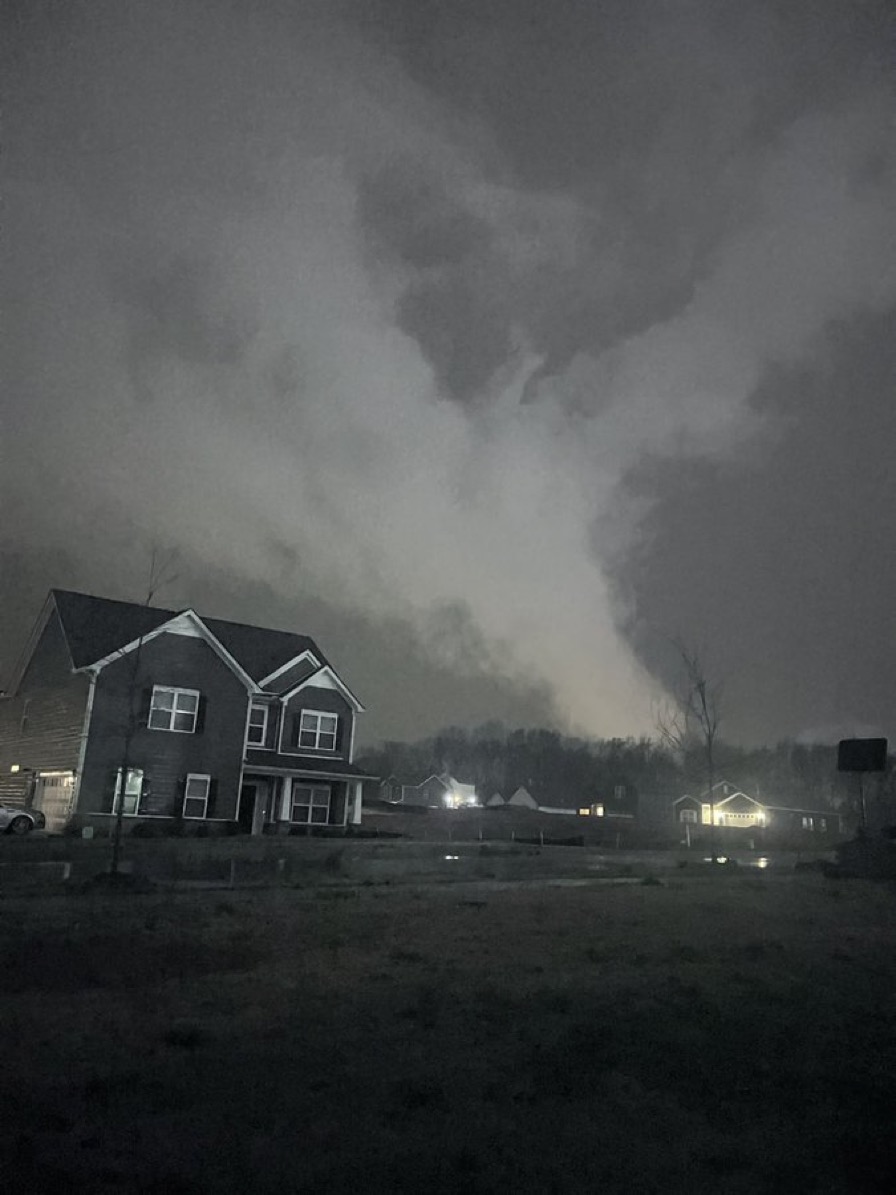
Very dire situation unfolding in Middle TN. Large intense violent tornado on ground. Long tracker.
-
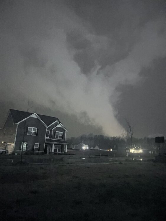
Fairview tornado last night From Boyd
-
Definitely a light show. Strange thunder was not that loud. We had no hail or wind thankfully. Went right near us.
-
It appears to me it’s going to be west of TN.
-
Going to need a boat next week.