-
Posts
2,099 -
Joined
-
Last visited
Content Type
Profiles
Blogs
Forums
American Weather
Media Demo
Store
Gallery
Posts posted by Daniel Boone
-
-
25 minutes ago, Carvers Gap said:
Nino climatology favors a more coastal track. I sometimes wonder if these models have had three years of Nina tendencies plugged into their programming.....Nino climatology is a bias east, but modeling refused for days to see that. I would not be surprised to see the bullseye end-up being western North Carolina. The Piedmont isn't out of it.
We do know each occurrence is ingested into the Model's. So, 3 Year's of Nina's.. probably so .
-
 1
1
-
-
-
17 minutes ago, John1122 said:
The UKIE took a jump Southeast and is more in-line with the RGEM. The NAM family seems to be in the NW camp by itself now.
Dam* Nam !
-
 1
1
-
-
-
2 minutes ago, NorthHillsWx said:
Literally gone… poof
MJO may be influencing the Pattern.
-
-
4 minutes ago, Hillbilly said:
Based on my experience following MRX, when an event is this far out; they find the model that provides the least amount of snow and go with it in their communications with the public and that usually works out well for them, time will tell...
They've told me before that they use the NBM Output.
-
 2
2
-
-
Apparently, KMRX Evening Shift buys the 12z Euro Outlook. Say's only lt wintry precip expected Monday and Tuesday.
-
 1
1
-
-
The lower Snow Totals in the Valley are quite possibly due to the average difference in occurences ingested into the Model's. I.e,. say, Kingsport got 1 inch the last 3 Snowfalls while Knoxville got 2 , the Models over time will show Knoxville getting more in their output. Of course, if any wind is forecast, downsloping will be as well. The City to City Avgs may well be factored in now . That I don't know.
-
 1
1
-
-
1 hour ago, John1122 said:
I've still got several papers from 1996! The "missing" and under reported snowfall amounts from that storm are legendary. To me, it ranks alongside the Blizzard of 1993 for local impacts. It was much worse than the blizzard on a state wide scale because it was a major winter storm for everyone. The Blizzard of '93 really cut off to a normal event beyond about Cookeville.
That report is waaaaaaaay off here. The 911 director at that time who submitted those reports to papers, quite literally didn't understand how to measure things. The same person reported that 10 inches fell during the Blizzard of 1993. Snowfall totals here were 16-18 inches. 16-20+ in Anderson and Union.
Same goes for here John. They listed Pennington gap with just 8 inches for the Jan. '96 Storm. I lived in downtown Pennington then and measured 13 inches while parts of the corporate limits had up to 16" and elevated areas of the County 18-24" with more mountain tops.
The Feb. Storm produced 10" in downtown Pennington gap. I think that one is missing in the " official" Records along with several other Snowfalls that Winter.
I totalled 52" in downtown Pennington for the Season.
-
 4
4
-
-
31 minutes ago, Met1985 said:
18z gfs says what storm lol.
Not surprising, really. We get several cutter's in a row and finally get everything to suppress south enough and then all storms have exhausted. Figures. Not saying that'll be the case but, wouldn't be surprised.
-
 1
1
-
-
30 minutes ago, Carvers Gap said:
Yeah, Chicago's big Blizzard back then . Over 20" there.
-
37 minutes ago, WEATHER53 said:
Thanks
Does the coonskin cap get wet and stinky in all this rain?
Wasn't meaning anything wrong toward you Howard.
-
5 minutes ago, John1122 said:
I still believe the Euro has QPF under modeling issues.
Yeah, definitely. It was way under on QPF with this last System throughout the area.
-
 2
2
-
-
-
6 minutes ago, WEATHER53 said:
Colder air does appear likely next week so let’s get good things started .
at this moment the pattern Has Not changed, everything is 7-10 days away, and the excess rain in Dec with temps 60-65 has merely become excessive rain and highs 50-55?so far in Jan. I hope that pattern changes, it must,
Check the UKIE out...
-
17 minutes ago, John1122 said:
No, for this system. The cold dumps west and a SE ridge crops up in response. By Tuesday morning there's a 30/40 degree temperature difference over the Eastern half of Tennessee on the UKIE vs the GFS.
What a nightmare !
-
2 minutes ago, John1122 said:
The UKIE is full western trough/se ridge and we stay warm dry over most of the state. It and the Euro often have similar outcomes as they likely have some common dna. We will see if the Euro is more like it soon.
If right, MJO ruling the Roost.
-
9 minutes ago, PowellVolz said:
That weird lollipop keeps popping up over Knox, Blount and Sevier Co. Kinda weird… it’s not every run but it’s been there about 50% of the time. Could this be some kind of backing or damming with the anafrontal moisture up against the GSM?
.Model's have ingested data from previous similar situations. Could be those occurences produced more in that area, ie., Christmas 2020. That would reflect from the Model's output.
-
 1
1
-
-
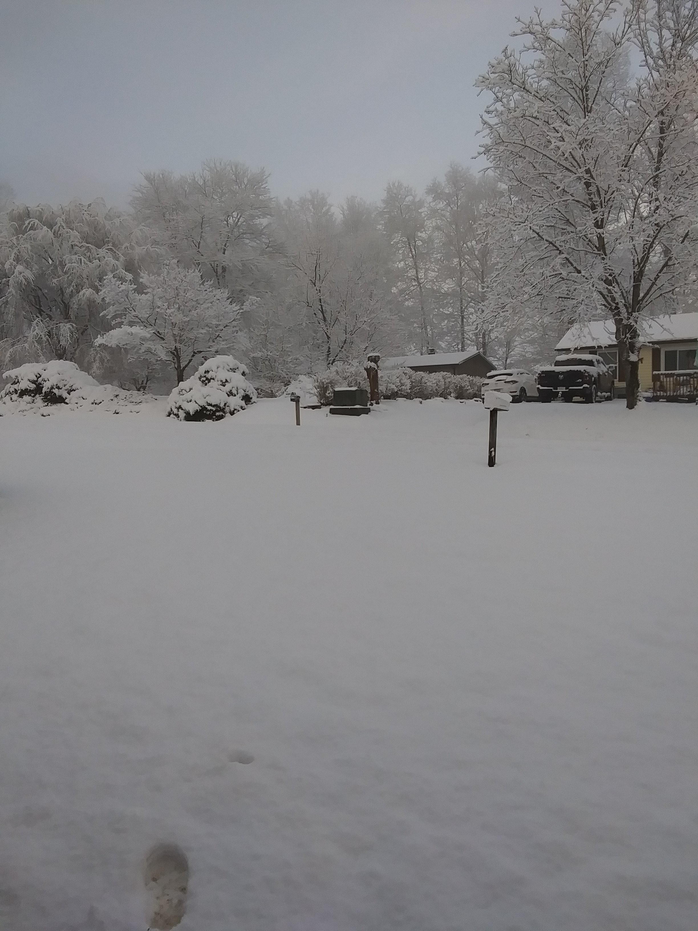
A light dusting here. All the bands missed here last night so just a couple snshwrs and flurries.
-
 2
2
-
-
Great discussion guy's ! I'm down with RSV now so, not participating much but, am checking in ever so often. Fun times upcoming !
-
 4
4
-
 1
1
-
-
27 minutes ago, TellicoWx said:
Long story short...think suppressed is the ultimate outcome currently
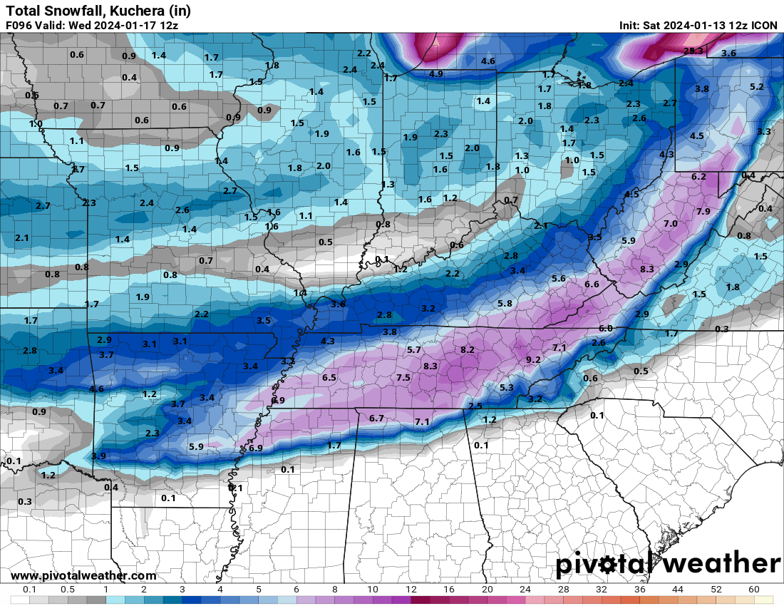
Yeah, may wind up with a 73 type deal before said and done . Although, probably not due to forcing from MJO and warmer Atlantic SST's than then probably creating a SER of sorts trying to fight back. In this case, may be a good thing for us.
-
 1
1
-
-
1 hour ago, Carvers Gap said:
As for cold, all operationals/deterministic runs have portions of the forum area below zero for temps and real feel temps -10 to -30 below zero. Just a brutal air mass next week. I don't think it will be as bad as Dec '22 as the wind doesn't look as bad, but some extreme temps continue to be on modeling. The CMC is maybe the most impressive as it does it without snow cover. If any portion of the are gets snow cover, some all-time lows could be flirted with....
Hopefully, things will go the snow way for us. Forget the cold without the snow.
I can remember some 1970's Winter's that did just that. Dumped all around us. We'd get flurries at the end as the cold would move in , it would warm up and rain then same. Those were generally cutter Winter's with no blocking for the most part , however. Although 72-73 , 73-74 and 74-75 had Storms just miss us. 72-73 had the huge one go way South. The other's OV and MA cashed in. NC did decent in the last 2. Cad. The good thing is only one was a Nino.
So, even in that Climate Era things just went wrong for us. The way the Ball bounces sometimes.
On the bright side, the majority of Nino Winters produced well for us , particularly in the normal Great Valley screw zone.
-
Just now, PowellVolz said:
Was Christmas 2020 anafrontal? What I remember the most is a few days later, WATE Ch 6 gave themselves an “A-“ critique of their forecast. They predicted 1” and parts of Knoxville (my area) ended up with around 6”. They said the trailing energy which produced 90% of the snow “came out of nowhere” and that’s why they missed it.
 ….. the wave that rode the front was on the mods for days before. Cams were spitting out 3-6” at least 48 hours before it started.
.It was anafrontal.
-
 2
2
-


January Medium-Long Range Discussion
in Tennessee Valley
Posted
Shades of '58.