

CTWeatherFreak
-
Posts
1,141 -
Joined
-
Last visited
Content Type
Profiles
Blogs
Forums
American Weather
Media Demo
Store
Gallery
Everything posted by CTWeatherFreak
-
"Don’t do it" 2026 Blizzard obs, updates and pictures.
CTWeatherFreak replied to Ginx snewx's topic in New England
Anybody have a total for West Hartford? -
“Cory’s in NYC! Let’s HECS!” Feb. 22-24 Disco
CTWeatherFreak replied to TheSnowman's topic in New England
Blizzard warnings up now for Hartford and Tolland counties! -
“Cory’s in NYC! Let’s HECS!” Feb. 22-24 Disco
CTWeatherFreak replied to TheSnowman's topic in New England
Toms River NJ jack on this run.. Go figure -
“Cory’s in NYC! Let’s HECS!” Feb. 22-24 Disco
CTWeatherFreak replied to TheSnowman's topic in New England
What are ratios looking like with this one? Do the strong winds lead to mangled flakes and lower ratios? -
Friday February 6 FROPA / WINDEX small event
CTWeatherFreak replied to HoarfrostHubb's topic in New England
That band through Rhode Island looks fierce -
Possible coastal storm centered on Feb 1 2026.
CTWeatherFreak replied to Typhoon Tip's topic in New England
Even with a discernable negative tilt, this thing cant get out of dodge fast enough. Weirdo storm. -
Possible coastal storm centered on Feb 1 2026.
CTWeatherFreak replied to Typhoon Tip's topic in New England
Looks about the same to me blob:https://www.tropicaltidbits.com/661689c1-3cea-4e25-a83d-706929ced4e5 -
“Cory’s in LA! Let’s MECS!” Jan. 24-26 Disco
CTWeatherFreak replied to TheSnowman's topic in New England
Geez. Nam Kuchi has 25" for Boston.. Crazy -
January 2026 regional war/obs/disco thread
CTWeatherFreak replied to Baroclinic Zone's topic in New England
the 1000mb low is not strong enough to generate the requisite wind. -
January 2026 regional war/obs/disco thread
CTWeatherFreak replied to Baroclinic Zone's topic in New England
Looks like a lego city -
December 2025 regional war/obs/disco thread
CTWeatherFreak replied to Torch Tiger's topic in New England
In past years, everybody hung their hats on the hope that an SSW would materialize.. Well this year, we had one. And it did bring the PV and the cold. but the rest of the equation seems to be lacking so far. -
Major Hurricane Melissa - 892mb - 185mph Jamaica landfall
CTWeatherFreak replied to GaWx's topic in Tropical Headquarters
She lost her eye -
Major Hurricane Melissa - 892mb - 185mph Jamaica landfall
CTWeatherFreak replied to GaWx's topic in Tropical Headquarters
Anybody near a tv, forget TWC. Fox Weather doing a great job with nonstop coverage including great shots from the planes inside the eye. -
Major Hurricane Melissa - 892mb - 185mph Jamaica landfall
CTWeatherFreak replied to GaWx's topic in Tropical Headquarters
9am 896mb, 180mph -
Major Hurricane Melissa - 892mb - 185mph Jamaica landfall
CTWeatherFreak replied to GaWx's topic in Tropical Headquarters
Its been moving at 3mph all morning. If it slowed any more it would be standing still. -
About a half dozen Id say.. maybe more
-
Seriously! SN+ having a major affect on the game.
-
2024 Atlantic Hurricane Season
CTWeatherFreak replied to Stormchaserchuck1's topic in Tropical Headquarters
Yikes. 942 mb on GFS at 1wk out.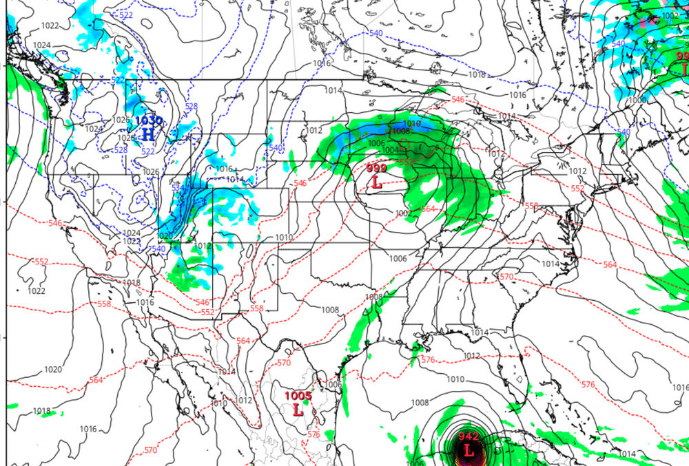
-
the 10:00 advisory still shows 155mph and 919mb.. I never would have guessed that from looking at its current satellite presentation.
-
Haiyan: The most perfect symmetry imaginable. Milton not quite there yet, but not far off either
-
What effect is that blob of convection just to Milton's northeast that looks to be phasing with Milton having on it?
-
DId anybody get the progged 15-20 ft surge?
-
I would have thought the northern eyewall would have contained the best winds, but weve seen video out of there and while impressive, definitely not close to 140 mph.
-
Who's getting the 140mph winds?.. I dont think anybody on the ground has recorded anything like that.
-
do warm core systems even produce hail?


