TL97
-
Posts
311 -
Joined
About TL97

Recent Profile Visitors
2,555 profile views


-
Just about 2" in downtown DC, was expecting less than an inch yesterday evening so very happy. Was SN+ for the last hour and a half or so.
-
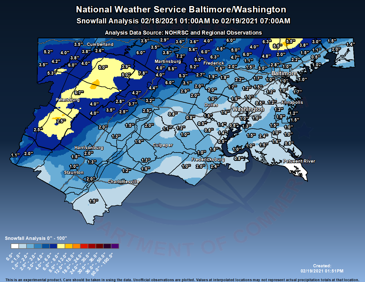
Ended at 7.5" in downtown DC. The sun peaked out earlier but the clouds are back and there are some light flurries (picture of Dupont Circle from earlier).
-min.thumb.jpg.62bd89df0c2a9d8893e9062025ef6f60.jpg)
-
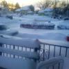
7.5" in downtown DC, the rate at which this has gone is incredible, it is winding down but we still got 1.5" in the last hour.
-
Seems we have maybe an hour or two left here in DC? We seem to be squeezing together two bands though, so should get some nice snows on the way out.
-
6" now in downtown DC, that band seems to be moving slowly away from us. Maybe we can hit 8"?
-
4.5" now in Downtown DC, maybe .75" in the last half hour? Lightened a little but looks like a heavy band is coming our way.
-
Just short of 4" in downtown DC, SN+ is continuing. Hope we can make 6".
-
2.75" just north of downtown DC, very heavy snow right now.
-
The crab claw got us here in DC

-
11-12 pm hour is money, DC to Baltimore gets 2" in that hour on the HRRR
-
HRRR also has southern NJ getting .5 QPF of sleet in an hour, that would be quite the sight to behold
-
Both NAMs put down .5" of QPF between 10 am and 1 pm in DC, the big question seems to be what the precip type is but that's a crazy 3 hours either way.
-
HRRR also gives DC like .15" of QPF in an hour after the flip when it's really close to snow.
-
Jan 31st - 33rd Storm Obs and Disco like it's 1979
TL97 replied to Bob Chill's topic in Mid Atlantic
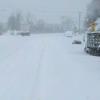
Seems to me most of the short term models say the moment starts coming north and so we avoid the WV dryslot. Anyway, 1.5" here and think 4" is a good target for DC area.

-min.jpg.3f197f07ce91bc27b65ebca59ae763d6.jpg)