*Flash*
-
Posts
925 -
Joined
-
Last visited
Content Type
Profiles
Blogs
Forums
American Weather
Media Demo
Store
Gallery
Everything posted by *Flash*
-
I figured. It would just be cool to tell my kids there was a time when OHX had the testicular fortitide to mark us in an 'Extreme' category. Thank goodness MEG and MRX have that.
-
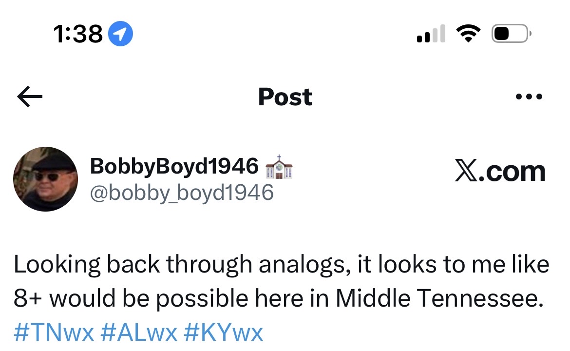
Is there one of these for Middle yet?
-
And northern Middle TN as well. The southern adjustment gives me some added confidence.
-
Can anyone with WeatherBELL access pull the Euro-AI Ensemble snow total plumes for Huntsville?
-
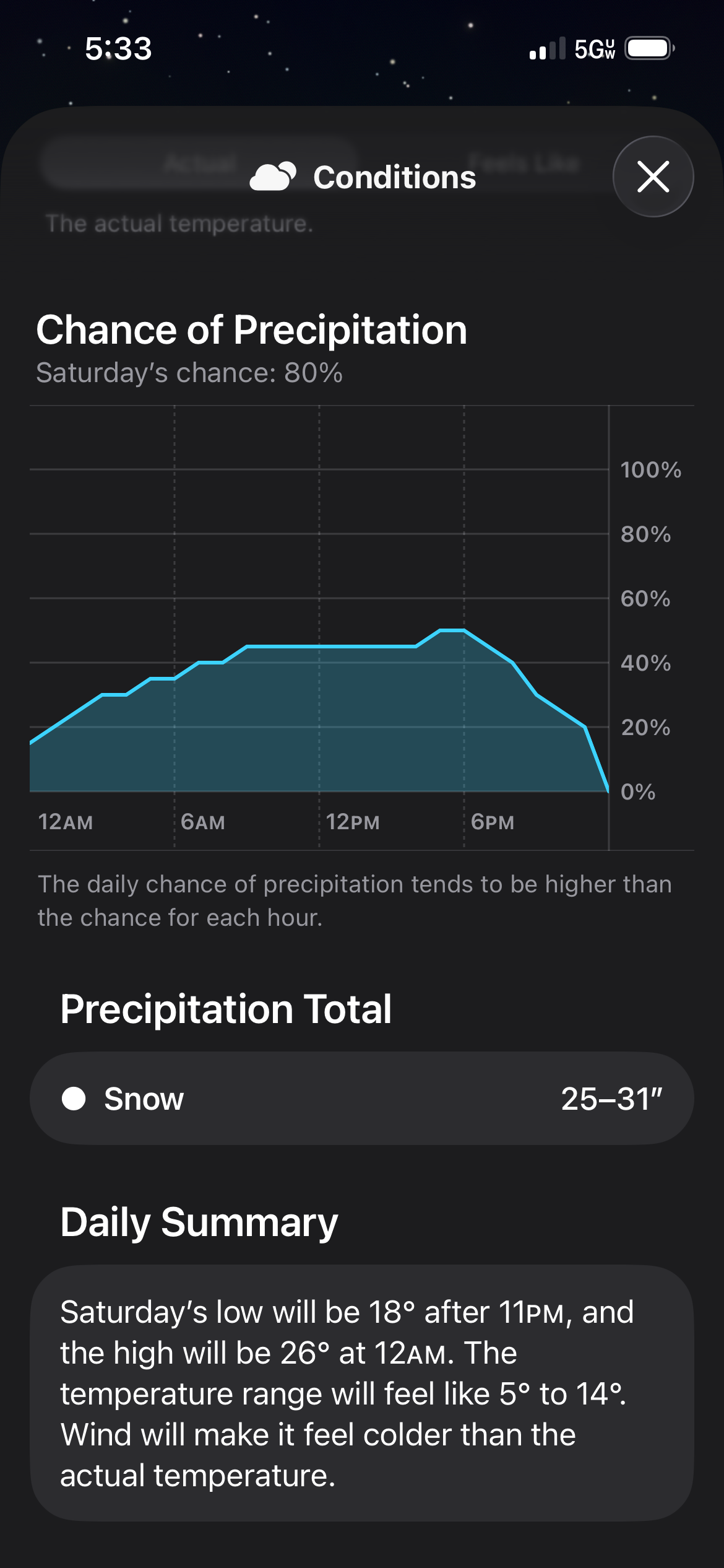
Right now, I'm thinking 6-8” of combined snow/ice for my location. That will likely adjust in short time.
-
Can anyone with WeatherBELL access the 12z Euro-AI ensemble plumes for Huntsville?
-
Not to mention wayyy too many reposts from those with little to no credibility. Blows my mind.
-
Gotcha. I'm just curious what the south did to hurt them, lol.
-
Man, BamWx is really getting defensive on X. It's like they want us to ask, “what snow?”
-
The hesitancy of NWS-Nashville and NashSevereWx...I don't get it. Their downplaying of the weekend event is irking me.
-
Just my first weather app glance of the today on my iPhone. Bad data ingestion, no doubt.
-
They have a long history of being gun-shy for whatever reason.
-
The Euro AI solution is troubling, and I hope it's wrong somehow. I’m less concerned about less snow and more concerned about more ice! Someone is going to get agnarly ice storm out of this, and I hope it's not our forum.
-
What the!?!
-
The amount of instantly recognizable bangers on that list makes me giddy. Smash.
-
Well, crap. I have a one-month-old. Not sure how that's going to work. Maybe a Red Bull-IV. That might do it.
-
Yeah, I remember crunching the #’s late February 2014. In terms of wasted cold, 2013-14 stands alone at the #1 spot for BNA since records started. Middle TN has seen redemption in the years since. But even that year…I got to experience 2’ over 4 chases.
-
Nice summary. Hoping most of us can score before Fab Feb. Signals are there but will the fun be too far east for west/middle? That's my main concern. Obviously, with the WAA and dry air issues, no plateau chase for me this morning (kids are pissed off but what I can I say/do?), so hopefully I can do some traveling next week as needed. Sunny 30s is the same level as cold rain to me. Plus, kids don't want to be out in the cold unless they can build a snowman. Hard to find words, especially for young people in describing why this winter has not cooperated. Bottom Line: In the past 15 years, only 2012-13 has been worse than what we've seen through 1/17, at least for middle. Yeah, I know the famous winter of 2014-15 got off to a slow start; however, I highly doubt we see a redux of that February 1 - March 15 time frame. I might be missing some other slow starts.
-
-
I mean...they could extend that purple line southwest by 50 miles. Wouldn't hurt at this range. Smh. Also, fun/random fact: Ferris Bueller's best friend...his name is Cameron Frye (played by Alan Ruck), which so happens to be my name, just without the 'e' on the end. While I was born the same year the movie came out, contrary to local conspiracies, I wasn't named after the character. 0:34 in the clip below gets me every time... https://youtu.be/LOMO_eSGcU4?si=38NB8nmLgHGa8XN6
-
If this subforum is Hogwarts, you, sir, are Gif-findor.
-
Donuts are gone but we have fresh hopium on the menu.
-
I was about to say: If we can’t have synced southern juice, more spiked southern juice might work.
-
I mentioned last night how Bobby Boyd had his eye on 1/25. The GFS/GEM looks above lines up with what could be a time frame to watch. A trap? Most likely but for now...we have something new to track, watch disappear and perhaps re-emerge again.