Spartman
-
Posts
1,219 -
Joined
-
Last visited
Content Type
Profiles
Blogs
Forums
American Weather
Media Demo
Store
Gallery
Everything posted by Spartman
-
Got down to 10 this morning, the coldest temperature of the season yet.
-
Winter 2020-21 Medium/Long Range Discussion
Spartman replied to Hoosier's topic in Lakes/Ohio Valley
-
February 1996 redux incoming!
-
12z GFS: 12z Euro & UK: ZZZZZZZZZZZZZZZZZZZZZZZZZZZZZZZZZZZZZZZZZZZZZZZZZZZZ
-
Looks overdone if very little snow is included with that outbreak.
-
Winter 2020-21 Medium/Long Range Discussion
Spartman replied to Hoosier's topic in Lakes/Ohio Valley
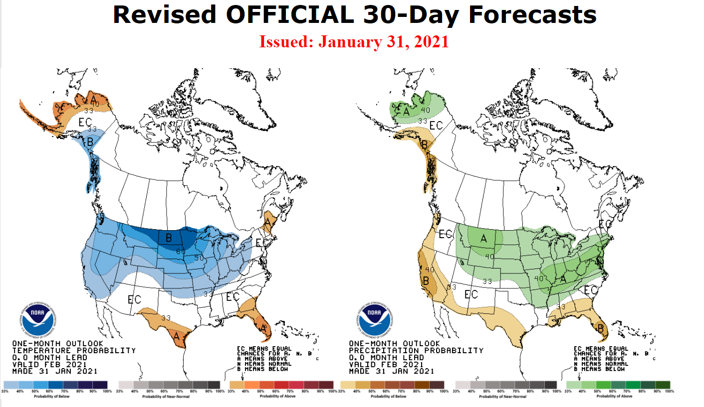
NAO going slightly positive for a spell soon before plunging back down to slightly negative over the next week. PNA is heading neutral over the next few weeks. AO remains rather negative for the foreseeable future. The MJO looks to remain mainly in Phase 6 over the next few weeks.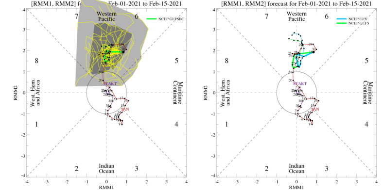
-
Very lackluster on the 00z GFS and Euro runs, in stark contrast to the 00z GDPS. GFS: Euro: GDPS:
-
Winter 2020-21 Medium/Long Range Discussion
Spartman replied to Hoosier's topic in Lakes/Ohio Valley
-
Winter 2020-21 Medium/Long Range Discussion
Spartman replied to Hoosier's topic in Lakes/Ohio Valley
Not a lot of snow south of Michigan in the long range on either the 00z GFS or 00z Euro, even with the upcoming cold shots. -
February 2021: Wintry or Write-off?

-
06z GFS:
-
Dry slot is now near.
-
00z GFS: 00z UK:
-
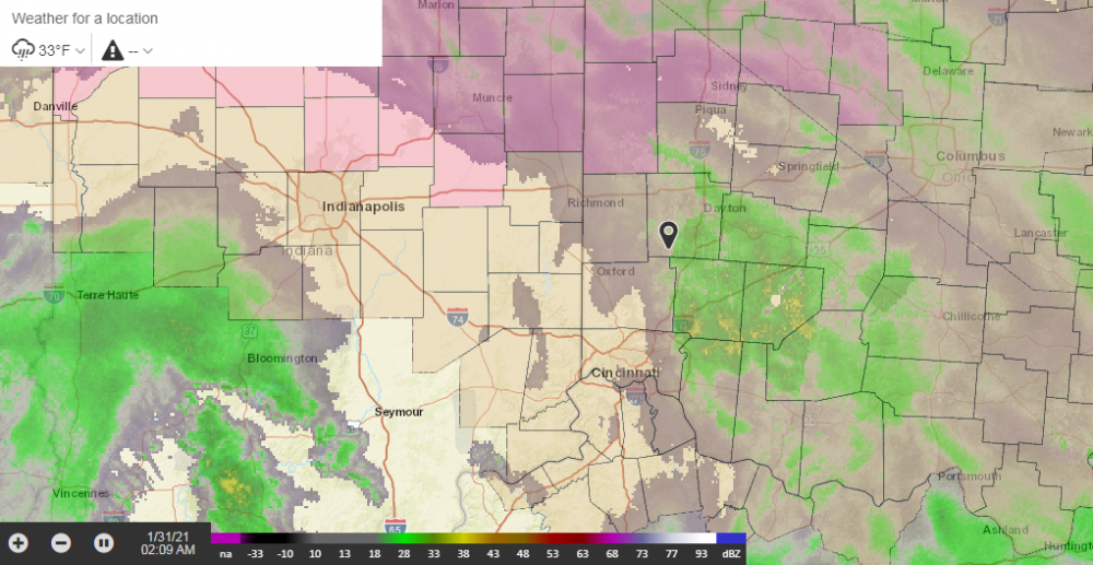
I'm looking forward to some of the Winter Weather Advisories getting cancelled by morning. Already changed to rain, if not freezing rain. Dry slot incoming within the next few hours.
-
18z GFS:
-
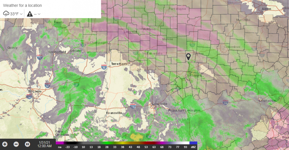
06z GFS: 06z NAM: Yet, the NWS remains conservative.
-
Winter 2020-21 Medium/Long Range Discussion
Spartman replied to Hoosier's topic in Lakes/Ohio Valley
-
Let's hope the Euro doesn't cave to what the GFS is showing soon.
-
06z GFS:
-
Very impressive on the 00z GDPS. Not as much on the UK, though. According to Joe Bastardi, it looks like an upcoming Snowmeggedon scenario.
-
Juicy like the UK.
-
The 06z GFS says "Mighty juicy!" during the first round. 2nd round:
-
Despite rain and freezing rain through the day, a little snow apparently snuck into the mix with the freezing rain making DAY receive 0.2" today. With that, DAY narrowly just reached double-digit totals for this season with a current seasonal snowfall total of 10 inches.
-
Winter 2020-21 Medium/Long Range Discussion
Spartman replied to Hoosier's topic in Lakes/Ohio Valley
Again, the MJO is something that needs to be kept an eye on for the next couple of weeks. A difficult one, according to BAMWX: Judah has posted something that could be interesting over the next few weeks. https://www.aer.com/science-research/climate-weather/arctic-oscillation/ -
Winter 2020-21 Medium/Long Range Discussion
Spartman replied to Hoosier's topic in Lakes/Ohio Valley
The shutout continues on the 06z GFS.