Spartman
-
Posts
1,219 -
Joined
-
Last visited
Content Type
Profiles
Blogs
Forums
American Weather
Media Demo
Store
Gallery
Everything posted by Spartman
-
89'd today. With the rain coming up throughout the week, it looks like it's the highest it's going to get for this month.
-
Well, we wasted a hot stretch during the final week of July. It looks like the upcoming hot stretch is going to be another waste. NWS has already started dropping the 90s from their forecast.
-
Finished -0.6 at DAY with 5.39" of rainfall, not enough for even reaching the 10th wettest July on record. Indy almost failed to reach 90 the entire month.
-
So much for July being the hottest time of the year in 2021. Even with all that wildfire smoke and rainfall, can it be worse for August?
-
Some weekend this is going to be. Looks like we're in for an overcast day to end July tomorrow. Clouds are already increasing. Highs are only to be around 75 or lower tomorrow. Sunday, we'll be dealing with widespread haze from the wildfire smoke to kick off August.

-
Not one 90 during this wasted hot stretch. The heat wave was too overhyped. The hype seemed reminiscent of when a significant snowstorm is forecast during the Winter to only result to a dusting up to a couple of inches of snow. Definite trainwreck.
-
Only made it to 87. NWS now caved with TWC and dropped any mentions of 90 on their forecast. Heat wave cancel. No more 90s for the month. I will still only have a total of 7 90-degree days heading into August.
-
89'd at all three climate sites: CVG, DAY, and CMH.
-
Summer/Fall 2021 Medium/Long Range Discussion
Spartman replied to MazooWeather's topic in Lakes/Ohio Valley
Ridiculous gradient for early August according to the 12z GFS: -
Something interesting on the horizon after heading into August? According to the Bering Sea:
-
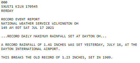
Set a daily rainfall record yesterday: With only halfway through the month, rainfall is already above normal for this month with a current total of 4.12" as of this morning. Let's hope the 2nd half doesn't have any more rain that would end up being enough to make this month one of the top 10 wettest Julys on record.
-
2009? 1992?
-
Fall is coming. Hit 75 here.
-
CVG had its 5th wettest June on record.
-
Hit 90 for the second time this year while CVG got 89'd. The convection did a great job dying off before it even got here.
-
If only if it were to be dry and sunny.
-
JB is rooting on a chilly start to July. If the GFS verifies, that could be the worst pattern to start off July in a long time.
-
Reached 88 so far this afternoon, but temps just dropped to 87 as of 3pm.
-
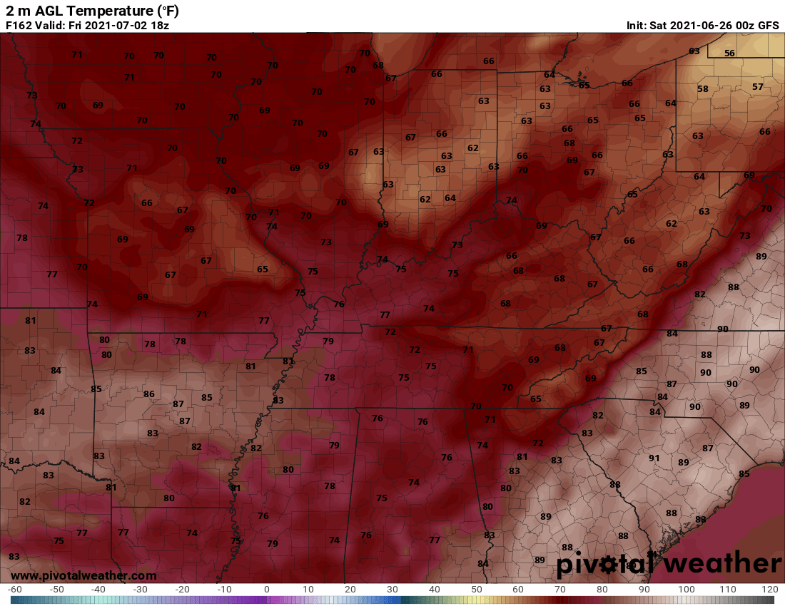
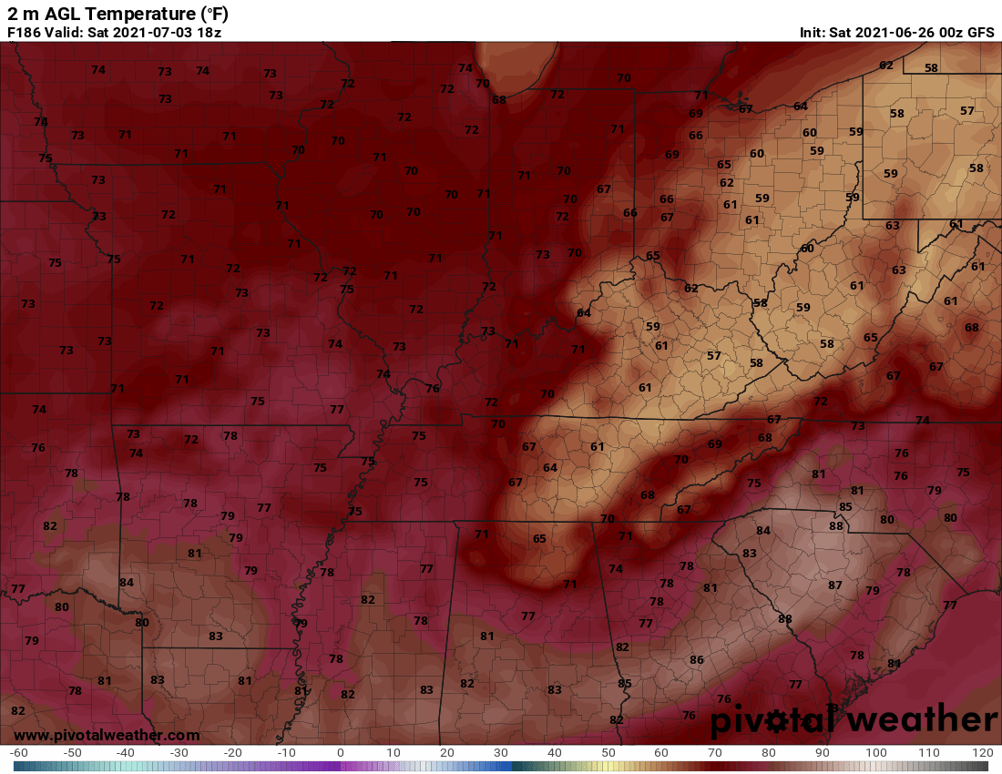
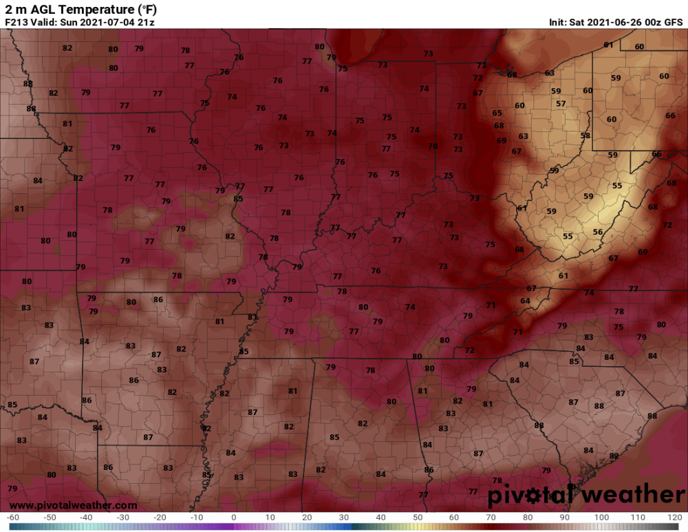
Let's hope what JB says about this 4th of July doesn't come true. The 00z GooFuS has this for the 4th of July weekend: July 2nd: July 3rd: This 4th of July:


-
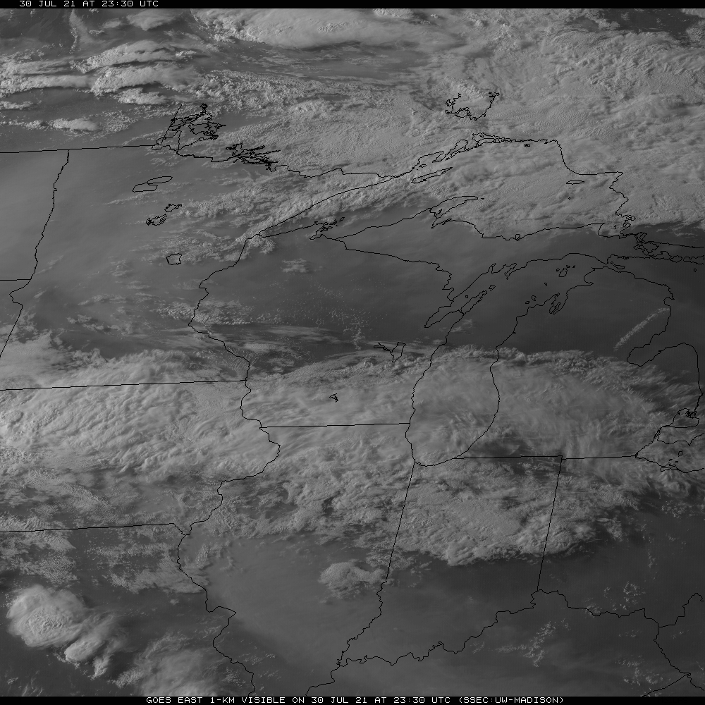
Completely overcast today thanks to the stratiform and debris clouds from the recent Super MCS. Second time that happened this month. Can't seem to go at least a month without an overcast day this year. With very little rain today, this was an absolute waste of any of the dry time. We may very well be repeat that tomorrow before the heat is on the day thereafter.
-
Only got a hundredth of an inch from today's Super MCS thanks to the persistent cloud cover the entire day today.
-
Another good way to kill Summer with that much rainfall.
-
Had a good SOI rise from 6/13 to 6/15, but now we see a massive SOI crash from 6/18 to today. Date Tahiti (hPa) Darwin (hPa) Daily Contribution 30 day Av. SOI 90 day Av. SOI 20 Jun 2021 1013.56 1014.60 -16.38 -2.66 1.71 19 Jun 2021 1014.21 1014.05 -7.94 -2.08 2.00 18 Jun 2021 1015.23 1013.65 2.04 -1.55 2.19 17 Jun 2021 1015.96 1013.35 9.28 -1.41 2.23 16 Jun 2021 1016.13 1012.40 17.15 -1.76 2.10 15 Jun 2021 1016.19 1011.45 24.25 -2.01 1.88 14 Jun 2021 1015.55 1011.95 16.24 -2.08 1.58 13 Jun 2021 1014.99 1013.10 4.22 -1.76 1.34 12 Jun 2021 1014.54 1013.05 1.41 -1.32 1.28 11 Jun 2021 1013.54 1012.70 -3.16 -1.07 1.24 10 Jun 2021 1013.74 1012.30 1.05 -0.78 1.14 9 Jun 2021 1013.33 1012.10 -0.42 -0.53 1.06 Sign of a good transient warm-up in the works for sometime in early July before going back to troughing afterwards?
-
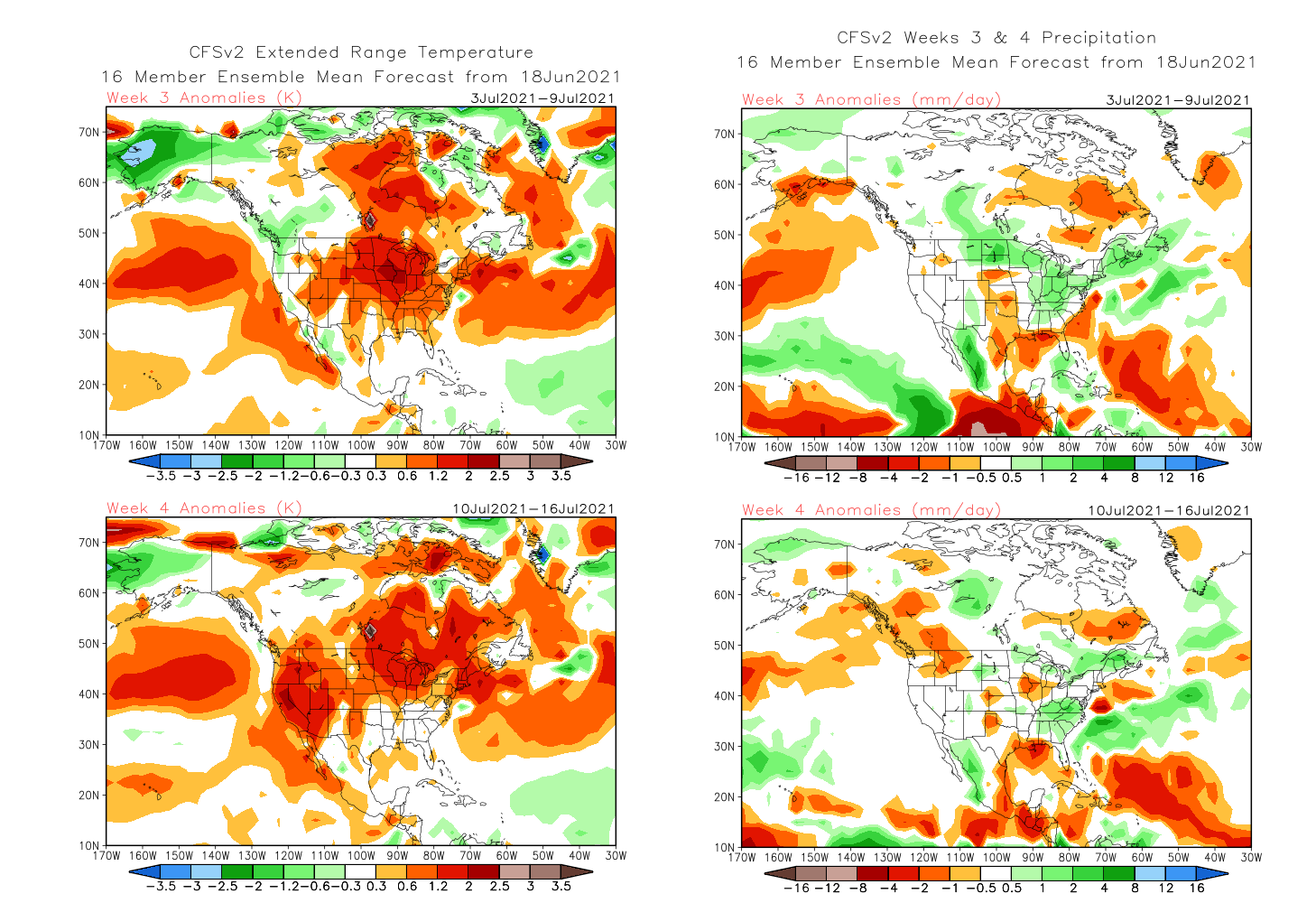
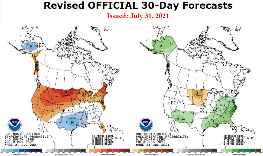
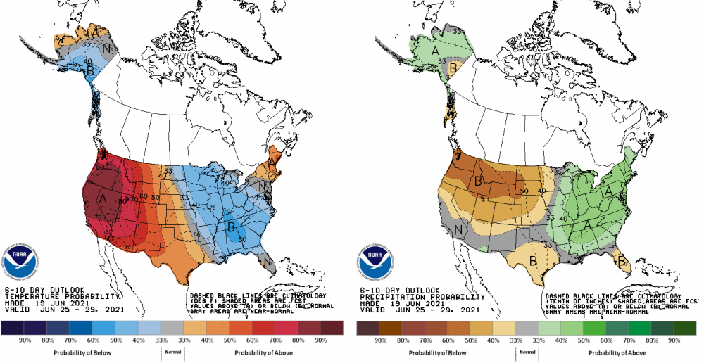
Shades of 2009/1992 6-10 day: 8-14 day: Even though today's CFSv2 weeklies look like this for Weeks 3-4:


-
Not as the Memorial Day 2019 beast.