3dcg
-
Posts
59 -
Joined
-
Last visited
About 3dcg

-
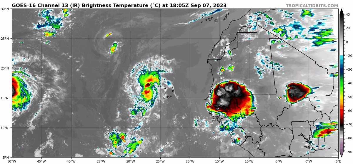
interesting little swirl exposed - well, hello! https://www.star.nesdis.noaa.gov/GOES/sector_band.php?sat=G16§or=eus&band=GEOCOLOR&length=24
-
Looks like a decent circulation off the coast. Wonder when NHC starts picking up on it?
-
hmmmm - Monday 18 Sep 6pm
-
What are those "waves" spinning west from the main cluster? Wild looking...
-
2022 Mid-Atlantic Severe Wx Thread (General Discussion Etc)
3dcg replied to Kmlwx's topic in Mid Atlantic
Repeat later today? Daughter lives a few miles south of me and said it was a wild hour or so in the early morning. I didn't hear a thing! Anne Arundel First Alert #Update | Severe Storm Damage | #Overnight | Pictures are coming in showing the destruction in Herald Harbor | Around 1:30 AM the isolated storm came through the Crownsville area causing severe damage | Crews are working to restore power | Unknown on injuries | Use extreme caution if you find a downed wire or tree into the wires -
January 28-29 2022 Miller abcdefu Storm Obs/Discussion
3dcg replied to mappy's topic in Mid Atlantic
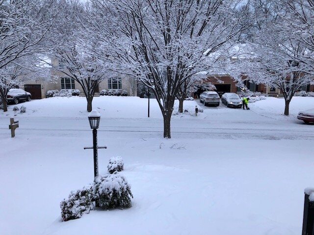
That's what I was thinking, 3" +/-. Driveway actually needed shoveling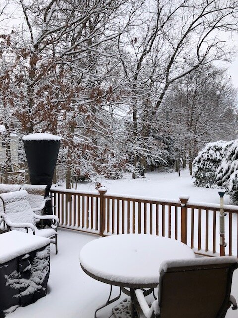
-
January 28-29 2022 Miller abcdefu Storm Obs/Discussion
3dcg replied to mappy's topic in Mid Atlantic
Nice meeting all! Great folks and great beer -
January 28-29 2022 Miller abcdefu Storm Obs/Discussion
3dcg replied to mappy's topic in Mid Atlantic
back to fat flurry flake action here with a temp of 41.6 -
January 28-29 2022 Miller abcdefu Storm Obs/Discussion
3dcg replied to mappy's topic in Mid Atlantic
nice lineup for sure! -
January 28-29 2022 Miller abcdefu Storm Obs/Discussion
3dcg replied to mappy's topic in Mid Atlantic
Sapwood HH -
January 28-29 2022 Miller abcdefu Storm Obs/Discussion
3dcg replied to mappy's topic in Mid Atlantic
hey - one flake south of BWI EDIT - now two + -
It's pretty entertaining reading the Mid Atlantic and NE forums regarding the MLK storm! Even better with a Timber Ales brewskie! Side note: heading to NH Friday and "maybe" returning Monday
-
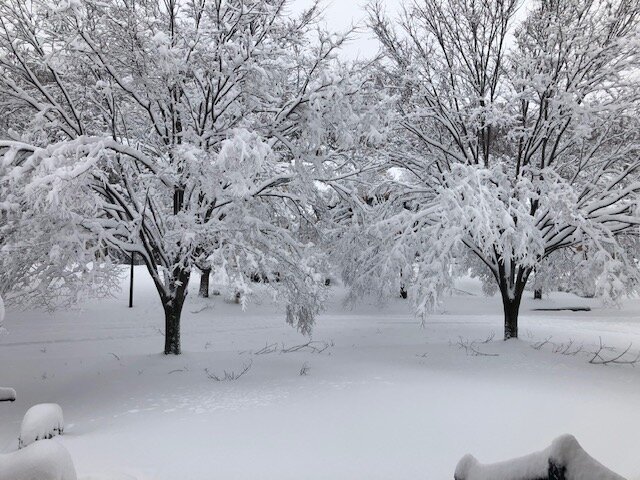
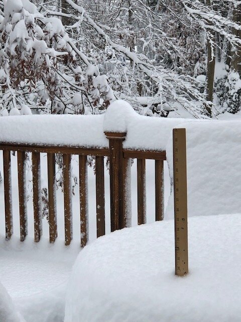
Looks like snow has ended. Compacting a bit, but 9.5"+/- 5 miles south of BWI. Bushes and trees taking a beating.
-
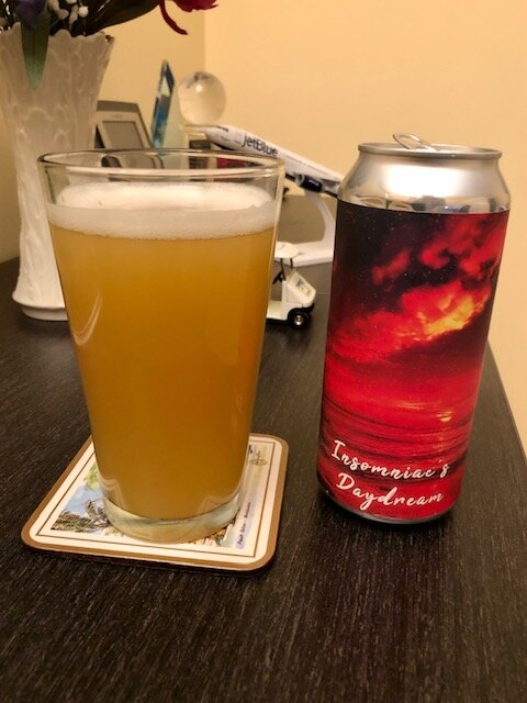
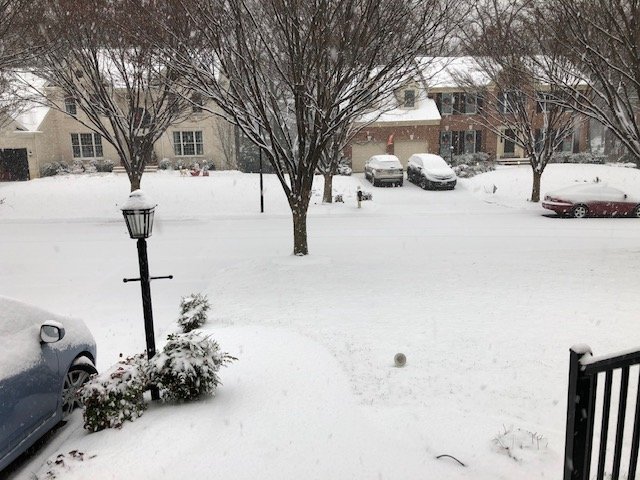
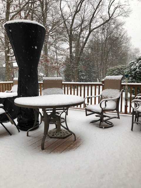
Getting some nice cover near BWI, albeit likely temporary. Should fire up the heater and sit outside with a Sapwood Flaked (yum)!
-
lot of juice in the storms coming ashore and through N. Florida. Will be interesting to see the effects as it "collides" with the NC low