high risk
-
Posts
3,107 -
Joined
-
Last visited
Content Type
Profiles
Blogs
Forums
American Weather
Media Demo
Store
Gallery
Everything posted by high risk
-

2021 Mid-Atlantic Severe Weather - General Discussion
high risk replied to Kmlwx's topic in Mid Atlantic
I'm quite intrigued as well. The track to our northwest would allow for some heating before the main convective band arrives later in the day. -
Increasing signal in the guidance this morning for widespread showers and storms this afternoon for those east of the Potomac, especially for northern/northeast MD. Models have had limited handle on the precip so far (to be kind), so I'm not totally sure how much I buy it, although radar seems to suggest that this scenario is plausible.
-
2021 Mid-Atlantic Severe Weather - General Discussion
high risk replied to Kmlwx's topic in Mid Atlantic
one last tornado warning on the MD/PA border, near @mappy -
2021 Mid-Atlantic Severe Weather - General Discussion
high risk replied to Kmlwx's topic in Mid Atlantic
A few cells popping up in western Montgomery and near Culpepper. HRRR shows a strong line (or line with embedded supercells?) moving through DC and points north after dinner time. -
2021 Mid-Atlantic Severe Weather - General Discussion
high risk replied to Kmlwx's topic in Mid Atlantic
The box is going to be justified, but in terms of tornado threat across MD, the earlier arrival of storms may limit that potential a bit, as the best low-level shear won't arrive until later in the afternoon. -
2021 Mid-Atlantic Severe Weather - General Discussion
high risk replied to Kmlwx's topic in Mid Atlantic
Yeah, but those HRRR low dew points that we usually see are due to mixing, and even the HRRR can't overmix a tropical air mass like this. -
2021 Mid-Atlantic Severe Weather - General Discussion
high risk replied to Kmlwx's topic in Mid Atlantic
NAM Nest seems to be an outlier with its very sparse coverage of cells this afternoon. -
2021 Mid-Atlantic Severe Weather - General Discussion
high risk replied to Kmlwx's topic in Mid Atlantic
Oddly, the 00z NAM nest had better parameters but fewer storms than shown in previous runs. HRRR and HiRes Window ARW still look impressive. -
2021 Mid-Atlantic Severe Weather - General Discussion
high risk replied to Kmlwx's topic in Mid Atlantic
They stuck w the MRGL..... -
2021 Mid-Atlantic Severe Weather - General Discussion
high risk replied to Kmlwx's topic in Mid Atlantic
Curious to see what SPC does here with the updated day 2 outlook in 20 minutes. I think there is enough in the 12z CAMs today to go with a SLGT (5% TOR) in roughly a Farmville, PA to Williamsport, PA corridor (~80 miles on either side), but I wouldn't be shocked if they want until tomorrow morning to upgrade either. -
2021 Mid-Atlantic Severe Weather - General Discussion
high risk replied to Kmlwx's topic in Mid Atlantic
Is it really a "surprise" when the models show discrete rotating cells 2 days in advance, and SPC puts us in an initial Day 2 MRGL with potential for a later upgrade? -
Agreed, but really hoping that area to the southwest doesn't pivot hard to the northeast. Even with a lull, it would get really bad if that moves over the areas that have already been drowned this evening.
-
2021 Mid-Atlantic Severe Weather - General Discussion
high risk replied to Kmlwx's topic in Mid Atlantic
Still very intrigued by Wednesday. Still some fail scenarios: best storms stay north in PA, best wind fields are further west, instability is lacking..... but some of the CAM solutions are quite good in terms of discrete cells and show some impressive low-level shear. -
2021 Mid-Atlantic Severe Weather - General Discussion
high risk replied to Kmlwx's topic in Mid Atlantic
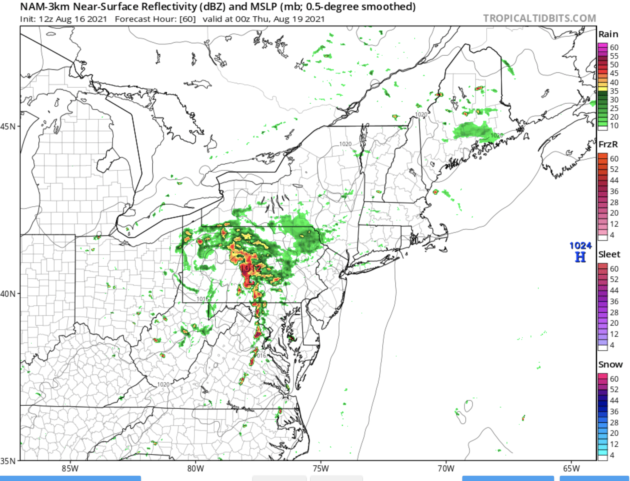
I was just coming in to post the same thing. The NAM/NAM3 and extrapolated HRRR and some of the HiResWindows look very interesting for Wednesday. Hodographs look impressive, and this certainly gets our attention:
-
Very concerned about the areas that got crushed last night for the week ahead. Multiple chances for more large rain totals this week, perhaps as soon as very late tonight.
-
I don't know what to think about the overnight. Several of the 00z CAMs bring some heavy rain up through DC and even to those of us further north, but I'm not sure if they really have a handle on everything. Perhaps they're misplacing the ongoing convection too far north? That said, the outflow surging north out of southern MD makes me think that things could erupt further north in the next couple of hours.
-
2021 Mid-Atlantic Severe Weather - General Discussion
high risk replied to Kmlwx's topic in Mid Atlantic
Tuesday and Wednesday each yielded a surprisingly high number of SVR reports in this area. There were certainly a couple of particularly notable cells with higher-end swaths of damage, but the coverage of reports was still impressive. But I agree that high CAPE and moderate DCAPE are more than compensating for very weak shear. I'd certainly be surprised if we didn't get at least one round of TC remnants up this way in the next 6-8 weeks. -
2021 Mid-Atlantic Severe Weather - General Discussion
high risk replied to Kmlwx's topic in Mid Atlantic
It's probably just my fading memory, but I can't recall such an extremely active week like this with so little shear. -
2021 Mid-Atlantic Severe Weather - General Discussion
high risk replied to Kmlwx's topic in Mid Atlantic
It's up around 900 or so. Was it that much higher on previous days? Regardless, that's enough today to still have downburst issues, especially given the high CAPE. -
2021 Mid-Atlantic Severe Weather - General Discussion
high risk replied to Kmlwx's topic in Mid Atlantic
I'm expecting something similar to Wednesday, as have a similar combination of high CAPE and fairly high downdraft CAPE but no shear. Storms will pulse, and there will be some impressive wind events, but it shouldn't be anything too organized. -
2021 Mid-Atlantic Severe Weather - General Discussion
high risk replied to Kmlwx's topic in Mid Atlantic
Heavy shower has strengthened into a thunderstorm now as it moved to my east. Moderate rain and distant thunder here. Seems to be a developing signal for some stronger winds as the cell moves across Anne Arundel county. -
2021 Mid-Atlantic Severe Weather - General Discussion
high risk replied to Kmlwx's topic in Mid Atlantic
Winds definitely hit severe criteria in southern Howard County. Wow. Power went off but has thankfully returned. -
2021 Mid-Atlantic Severe Weather - General Discussion
high risk replied to Kmlwx's topic in Mid Atlantic
That's a nasty wind signal over Silver Spring now. Hearing that it was pretty bad as it passed through Bethesda. -
2021 Mid-Atlantic Severe Weather - General Discussion
high risk replied to Kmlwx's topic in Mid Atlantic
I think that the warnings were for the surging outflow, but new storms are now firing on that outflow boundary. Tricky day to forecast, as the lack of shear keeps allowing the outflow to surge way out ahead of the storms, so we rely on re-development for the downstream threats. -
2021 Mid-Atlantic Severe Weather - General Discussion
high risk replied to Kmlwx's topic in Mid Atlantic
I think that the issue with the HRRR being dry today (and for the past couple of days) is that it's overmixing the boundary layer, and the dew points out ahead of the storms are too low.