jbenedet
-
Posts
7,617 -
Joined
-
Last visited
Content Type
Profiles
Blogs
Forums
American Weather
Media Demo
Store
Gallery
Everything posted by jbenedet
-
I don't like this one. Shortwave out west is generated with a bad pacific, and cold coming in behind it; at the same time on its treck east, the -NAO is ebbing.
-
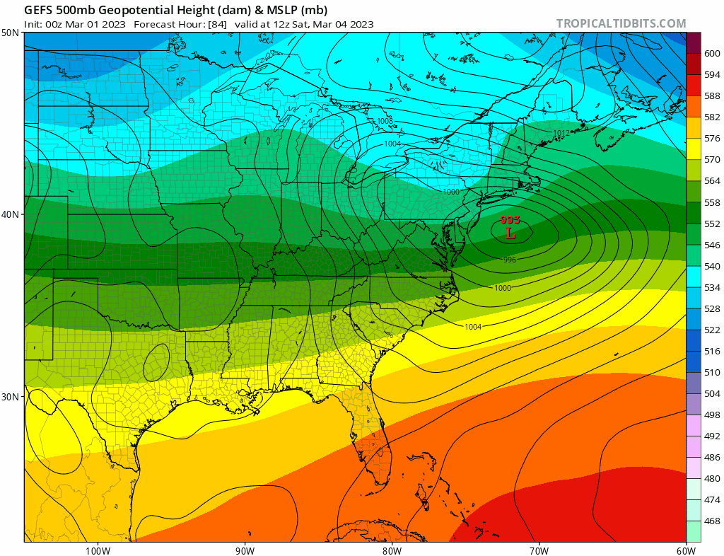
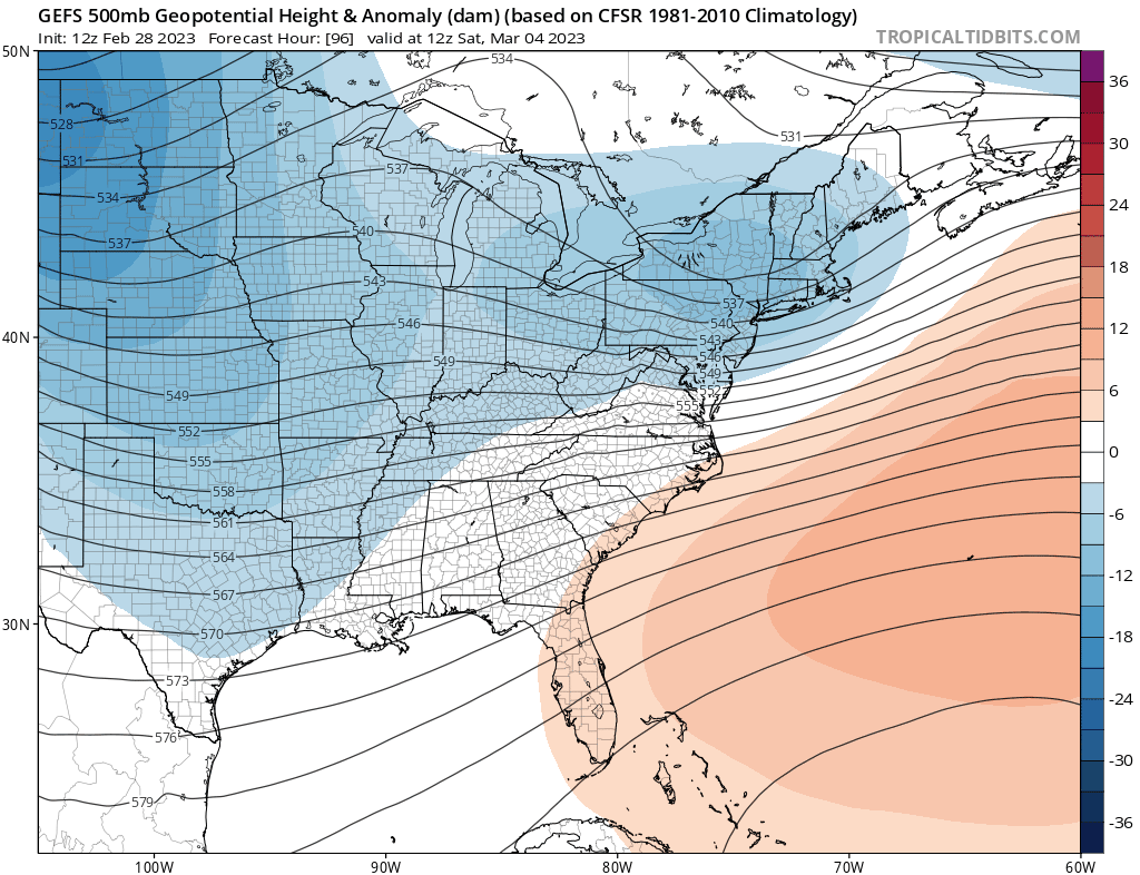
The -AO is gonna want to dump cold on the back side of the next big threat - enters west coast day 5. This system is probably our pattern changer; with -EPO look following. I think we're warm sectored on this guy. Probably bigly.
-
Next week gonna look odd with strongly -AO/-NAO/-PNA Big troughs on the coasts. Early thoughts are that the -NAO wants to ease into second half, which means another deep shortwave out west is gonna be able to fight the confluence in MA, SNE.
-
 Thanks for the balanced convo but they do suck. I've been burned before.
 -
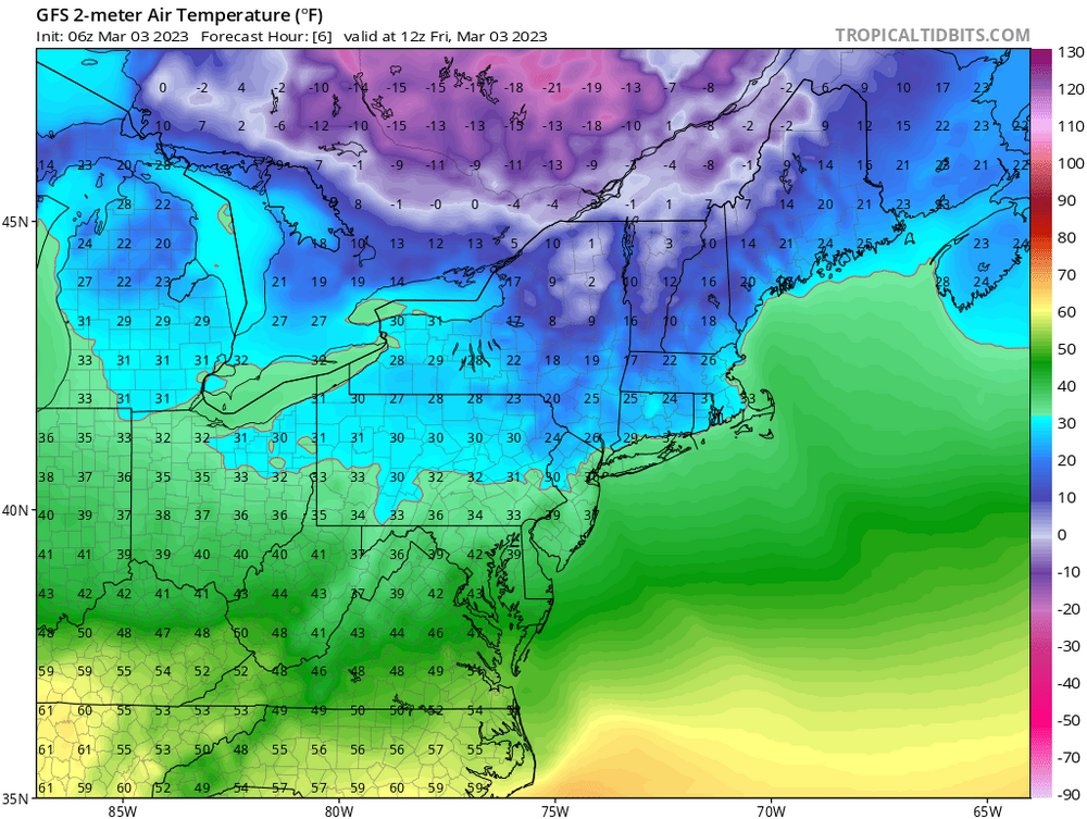
lol those 18z temps. We are already at/above at 15z
-
Trash. Those number in BOS are
-
Yea that's kinda what I'm worried about IMBY (dover). The heaviest comes on strong east winds; temps 33-34. That light stuff won't add up until evening, as BL takes time to cool. Wind is backing but diurnal max and lack of cold nearby. To be sure DAW is 10 miles to my NW, and it makes a *huge* difference in events like this.
-
*If*. But how many hours of heavy snow?
-
There's an IVT-ish feature that sets up overhead, looks like towards the end. But that move through at diurnal max, and I don't see cold on the back side of this. Areas not far from me, 10 miles, to the north/west will see a lot more. I think I'm gonna see a lot of snow falling from the sky but it's not gonna pile up here due to 32-34 temps throughout.
-
What is good? I think there's a sharp gradient where things really ramp - DAW -->west
-
Snow is falling but it probably aint stackin. SE NH/ Northeast MA.
-
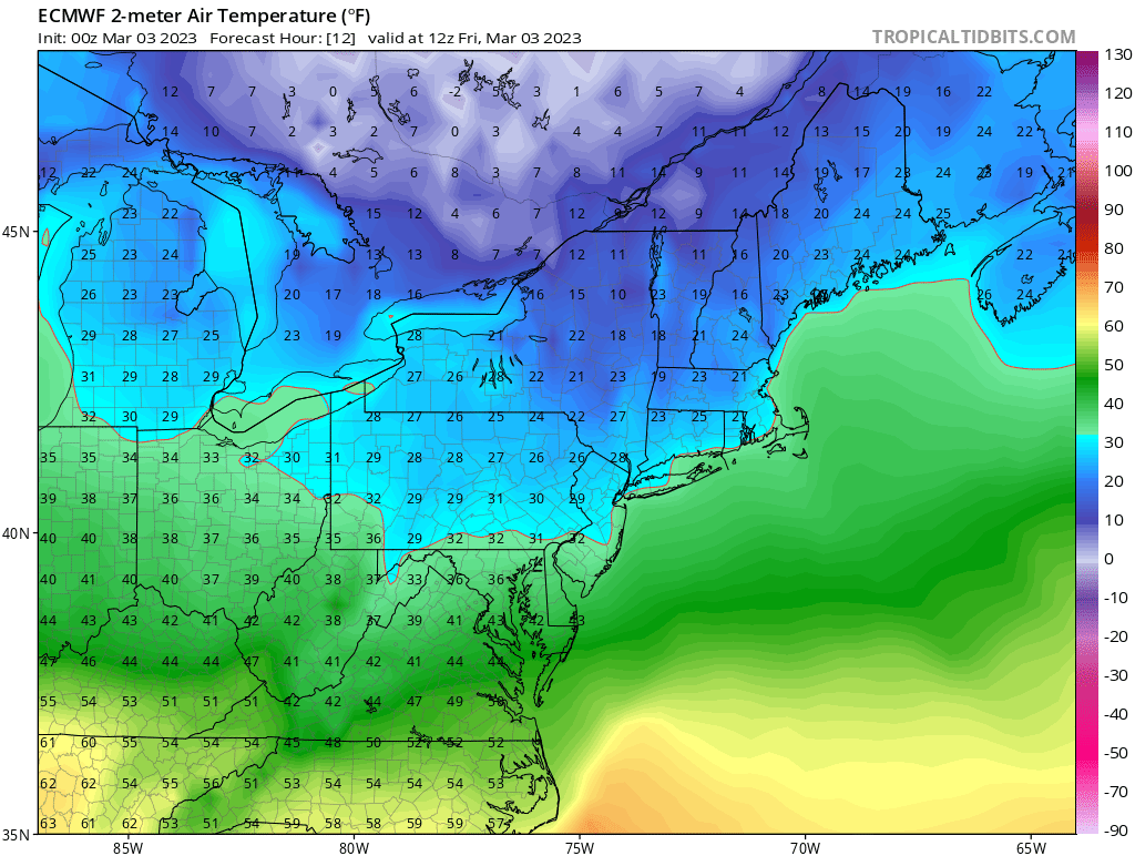
Not sure. But I'm strongly inclined to say "yes" given it's not a local discrepancy, but region wide. Regarding wet bulbing - I'm focused on the eastern zones; and BL temps I believe is main issue. I believe surface temps will stay stubbornly high over night. There isn't low level CAD; winds easterly will cause dews to rise sharply out ahead of the precip. You guys in the interior are fine; plenty cold.
-
All guidance too cold this morning. NAM best, EURO next GFS worst

-
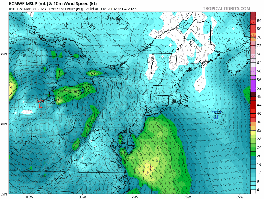
The prevailing theme is east winds are ripping for 12+ hrs, through 15z Saturday. I mean, the guidance consensus is the PGF unfortunately is maximized to our east despite the high in QC. Conceivably dews are in the low 40's in SE MA on that look. Should be no wonder, then, that the surface reflection can track right across it...
-
Guidance has been notoriously cold at the surface all the way into go time, this season. This is especially true for NAM and GFS. You tack on a few degrees at the surface for even latest NAM and GFS and it's a lot of inhibition to stacking it up at the stake. The gradient with this really is like the seasonal persistence, to a Tee, in my view.
-
Wow didn’t realize 12-20 during last event. well then sure. Different world up there in many ways. I guess the main point is that’s not CCB driven.
-
Yea that’s classic CCB type output. I don’t see the mechanics for that at all. I think we’ll see a “back end” more like Tuesday’s; IVT-ish.
-
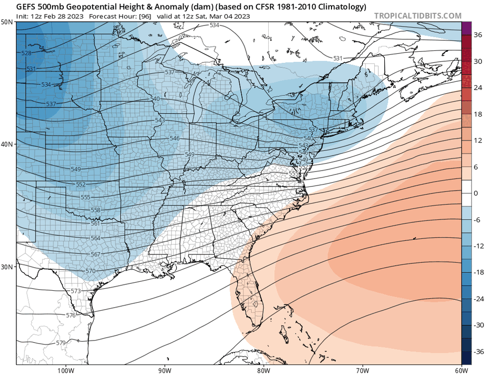
No it’s been a gradual capitulation to warmer guidance. Look at the SE ridge, sliding west and stronger. This is now consistent with other guidance that has significant easterly fetch out ahead, with surface highs to our east.
-
I’d be very skeptical of the 6z GFS output. The 6z GEFS was clearly a capitulation to the warm camp. Warmest run probably in 2 days. It looks a lot like EPS now.
-
Solid look. I think extreme Northeast MA into far SE NH gonna have BL issues throughout. Take em down. Snow profiles but with really poor ratios.
-
I like this a lot actually. Very reasonable ATM.
-
The timing on the euro couldnt be better in terms of diurnal min. That run would have been quite a bit worse in terms of snowmaps otherwise. SE and East winds ripping out ahead.