jbenedet
-
Posts
7,807 -
Joined
-
Last visited
Content Type
Profiles
Blogs
Forums
American Weather
Media Demo
Store
Gallery
Everything posted by jbenedet
-
 Temp going up on northeast winds. Nice
 -
Shit storm. And the 6z euro ropes in more snow weenies on fringes just to break their fragile hearts.
-
You have the mental capacity of a squirrel. Emotions change like the wind and perceptions of forecasts that were never made. No one can fix that but you. And being that you’re a man child like @WinterWolfand @Damage In Tollandit’s too late.
-
What’s the over under on a sunny day tomorrow?
-
Oh the leader of the snow weenie pack. Guy still lost. CON-fluence. BS. Effin’ UL +height anoms over our heads. Has been that way for days. Northern stream shortwave (kicker) kickin’ weenies in the nuts. .

-
Just looking at the sky, wouldn’t even think a storm was coming to the northeast. Star gazing night; no halo around the moon.
-
That was my latest, but can’t help if we have a bunch of boomers with dementia in here.
-
Early mid level occlusions are a bitch. Tend to shunt east; and delay phasing. Balance is strongly in favor of disappointment unless you’re talking bowling ball theme in late winter/early spring.
-
Clowns will clown. Antecedent airmass sucks. Check Confluence over northeast gone. Check Northern stream comes in late. Check. Good luck in southern SNE.
-
Good luck. Even your beloved GFS is slowly selling your snow.
-
I’m liking this event a lot less at the moment; the airmass out ahead has evolved to marginal and the northern stream which could deliver on both fronts is coming too late. The RGEM surface temps are very likely a lot more realistic than the NAM on Tues. That’s trouble. You need the trailing northern stream shortwave to hook up with this.
-
3 days worth of catching up for the GFS, and still behind. The NAM is even worse. Be careful with them GFS clown maps in SNE; bc GFS has highest QPF.
-
Mid levels are north, but not by much 50 miles—ish. H7 goes over SE New England.
-
Eh. It bears remembering: “A butterfly flaps its wings…” small errors in the short term are amplified out in time. RE: downstream upper level heights.
-
NAM and GFS thermals continue to suck. Cold Bias beware. NAM never had breaking 40.
-
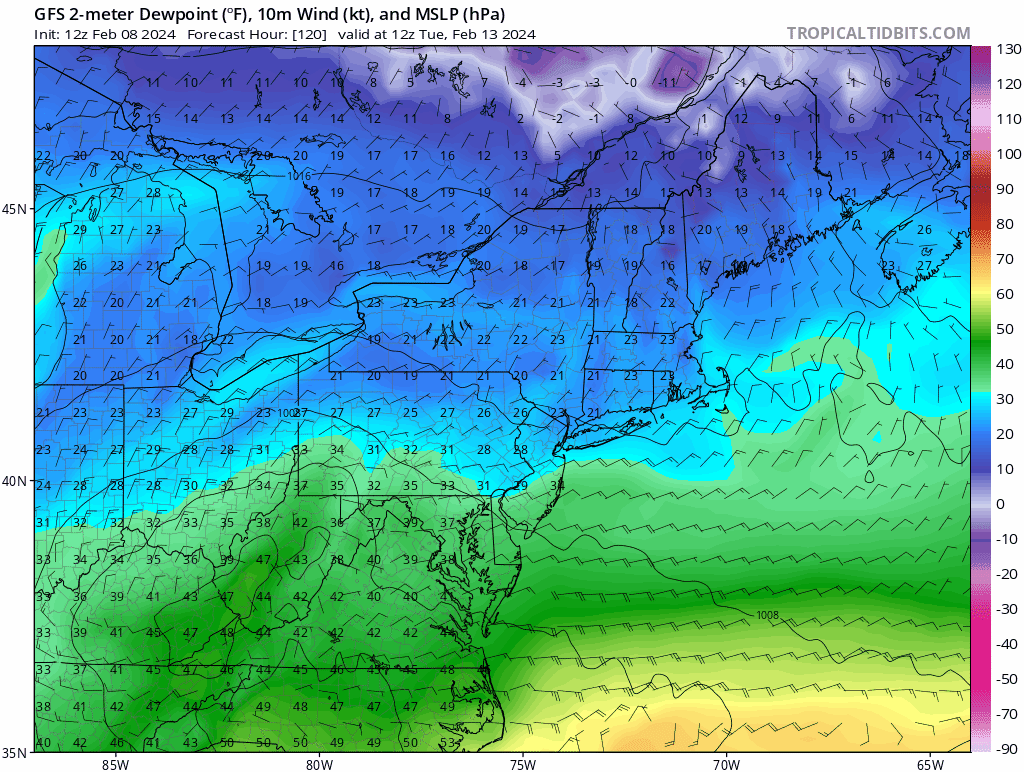
Today’s warm sector and tomorrow 60 near BOS probably have guidance and many that follow, jumping off the suppression train.
-
I don’t see suppression here; instead it’s just the trailing shortwave acting more as a kicker. If there is more phasing this comes much further north imo.
-
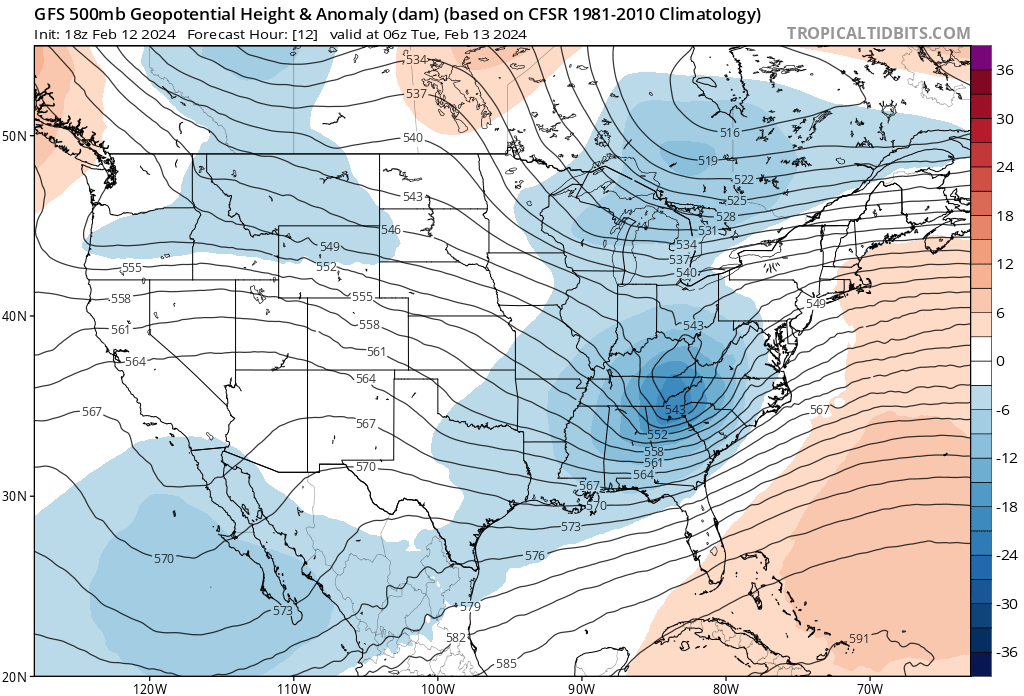
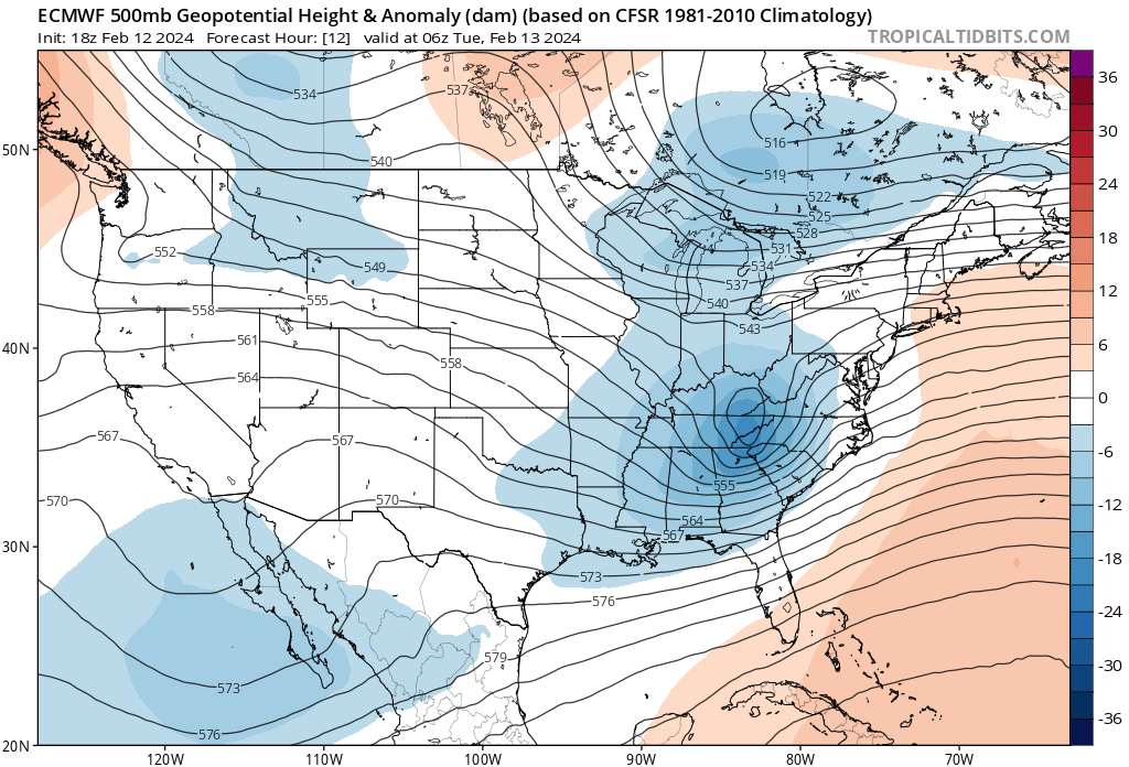
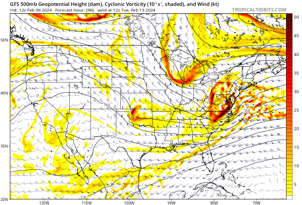
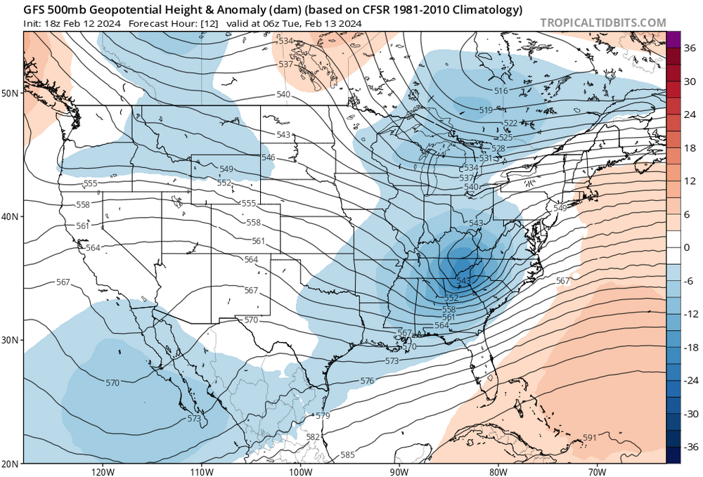
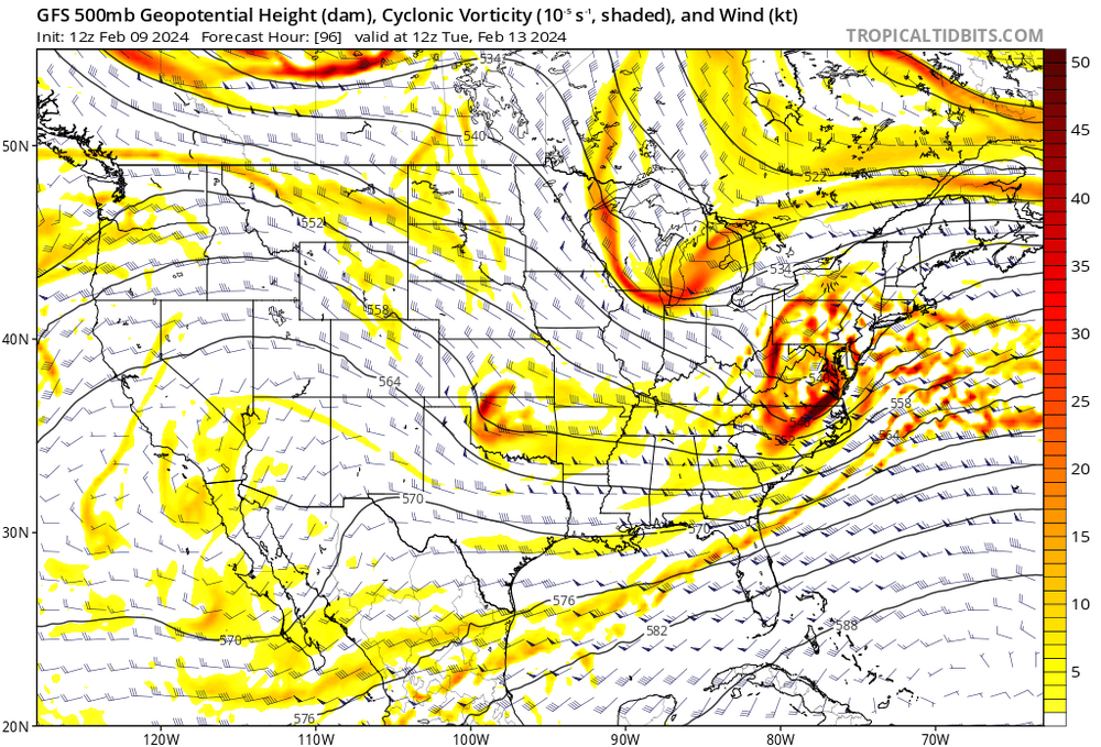
This event is lost on me so far. Still… Looking for the perceived “wall” in the northeast; I don’t see it—not at the surface, 850 or 500. Certainly not a high enough wall for potent shortwave to overcome, with long wave spacing that has the span of the CONUS to amplify…850 cold anoms are on the back side of this; not out ahead over the northeast US or SE Canada. That’s a red flag arguing against suppression. There’s also a flip flop in NAO conditions as the storm makes its closest approach, neg state to positive. Less confluence; warmer. It also means faster track. With that, I believe the 12z GFS seems like the best case scenario; snow-wise. I wouldn’t benchmark that as the most likely outcome.
-
Good call on this one. GFS was right. I was wrong. Still of course needs to verify but GFS is beating the competition through 6 innings.
-
With this I'm gonna say the GFS op is still the outlier.
-
The 12z GEFS shows a clear nod to the CMC evolution. It's much more clear in the GEFS than the op.
-
Safe to say don't really know where this goes from here. Uncertainty went up vs 18 hrs ago. Information too unreliable right now. Wait and see mode again...