CAPE
-
Posts
36,279 -
Joined
-
Last visited
Content Type
Profiles
Blogs
Forums
American Weather
Media Demo
Store
Gallery
Everything posted by CAPE
-
Both the EPS and GEFS eject significant energy eastward from upper low moving southward towards Baja.
-
The 0z and 6z Euro Ens essentially look the same wrt precip/snowfall at 6z on Sunday, outside of run to run noise. There is no 'trend'. I am going to trust the Euro more overall for this potential event given how crappy the GFS has performed recently. I will lump the AI models in with the GFS/GEFS based on their performance with our recent (mostly Non) event.
-
What makes you think tomorrow would be definitive? Trust me, we won't know yet.
-
12/5: 1.3" 12/14: 1.8" 12/31: 0.2" 1/1: 0.1" 1/18: 0.4" Total: 3.8"
-
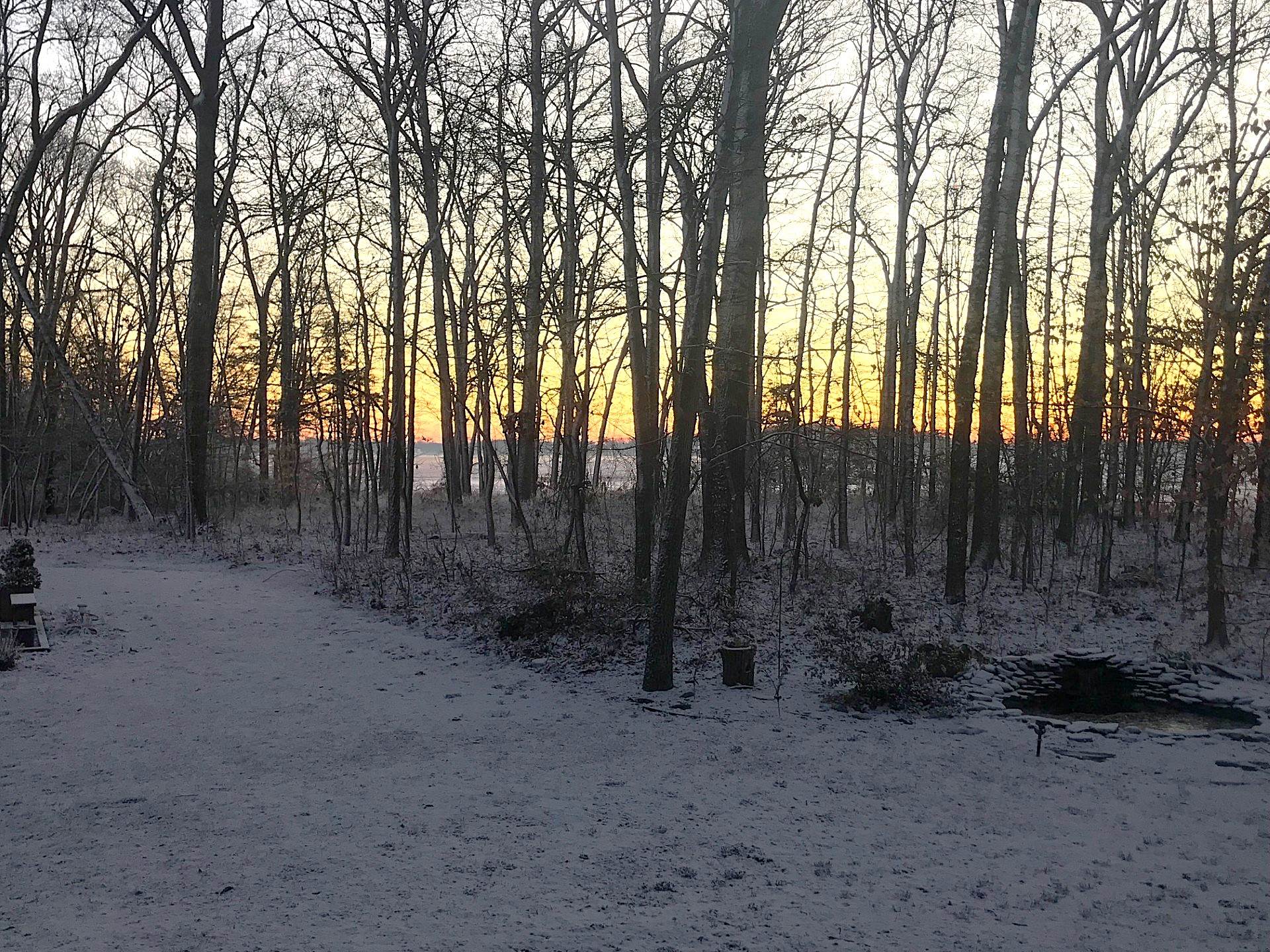
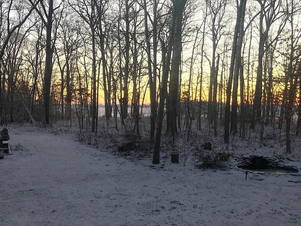
Sun about to come up. 16 degrees. Not quite a half inch.
-
Low of 15 Colder than expected
-
Snow coming down moderately now. Temp down to 30. Doubt I get to a half inch looking at radar.
-
The GEFS is known for being under dispersive more so than other ensemble systems, but I think there have been improvements. To a degree all ensembles are going to tend to follow the op for a given run.. and we have many more runs to go for this potential event.
-
Steady light snow continues. A coating on all surfaces. temp 31.5
-
Ground whitening here too. Be nice if the rates picked up a bit.
-
The S2 Cognition test measures a player's ability to process information quickly, involving pattern recognition, vision, and reaction time. C.J. Stroud did poorly on the S2 Cognition test before the 2023 NFL Draft, scoring low (reportedly in the 18th percentile)
-
They have to bench him if they want to actually have a chance in this game. After his rookie year when he looked promising, he has turned out to be a dud.
-
33 and coming down with more intensity here too in the last 15 mins. Getting some decent flake size.
-
Christ. Who is their second string QB?
-
Stroud is terrible. Best defense in the world and he is giving the ball away constantly. Got away with it 3 times against the shitty Steelers.
-
Yeah that's about what I got going on here. Steady light snow but not much stickage yet.
-
-
https://www.weather.gov/media/phi/StormReports/January302010.pdf
-
Very light snow has begun to fall here. Temp is 34.
-
I have a summary for that event from Mount Holly that has all the snowfall reports. Cut off was somewhere in southern PA. Phil International Airport had 2.1".
-
Yes it ended your perpetual meltdowns lol
-
Yeah I loved that storm. Just snowed steady and moderately all day with temps in the mid teens. Ended up with 7" or so here. Pretty sure Lewes had 9-10".
-
The h5 look is pretty similar to the Jan 30, 2010 storm, which produced 5-10" across the area with temps in the teens.
-
This is a damn near perfect setup for a cold powder moderate 4-6"+ snow event for the MA. The risk ofc is suppression.
-
Picked up 0.15" of rain this morning. When that ended temp rose to 37. Been slowly dropping since. Currently 34.5. Just need some damn precip lol.