All Activity
- Past hour
-

Strong Nor'Easter/Hybrid Storm Late September 2026
wthrmn654 replied to Rjay's topic in New York City Metro
There are coastal flood watches and coastal flood advisories for southern Nassau County and i thin south western Suffolk county issued last night. Highly expect more watches/ advisories to be issued very shortly for more areas. -

October Comes Early: Late September Multi-Hazard Hybrid Storm
dendrite replied to WxWatcher007's topic in New England
Maybe Rufus had the right idea -
October Comes Early: Late September Multi-Hazard Hybrid Storm
dryslot replied to WxWatcher007's topic in New England
Looks it on the Euro, Apples are pretty small this year with the lack of rain up here. -
October Comes Early: Late September Multi-Hazard Hybrid Storm
dendrite replied to WxWatcher007's topic in New England
LBSW -

October Comes Early: Late September Multi-Hazard Hybrid Storm
WxWatcher007 replied to WxWatcher007's topic in New England
I still think that's a bit too far south, but idk. That's the difference between meh and something far more impactful. -
October Comes Early: Late September Multi-Hazard Hybrid Storm
dendrite replied to WxWatcher007's topic in New England
Apple picking may still be on for Sunday! -

October Comes Early: Late September Multi-Hazard Hybrid Storm
CoastalWx replied to WxWatcher007's topic in New England
Stalls east of Jersey and then goes NE over SE MA. -
October Comes Early: Late September Multi-Hazard Hybrid Storm
dryslot replied to WxWatcher007's topic in New England
Pretty dry north of Rays area too. -

Strong Nor'Easter/Hybrid Storm Late September 2026
OldSkool replied to Rjay's topic in New York City Metro
Reminds me of December 1992 except this is stronger. -
October Comes Early: Late September Multi-Hazard Hybrid Storm
WxWatcher007 replied to WxWatcher007's topic in New England
Hugging that coastline -
October Comes Early: Late September Multi-Hazard Hybrid Storm
dryslot replied to WxWatcher007's topic in New England
12z Euro sandy like. -

October Comes Early: Late September Multi-Hazard Hybrid Storm
LSC97wxnut replied to WxWatcher007's topic in New England
Loops around south of LI all weekend before finally departing across SNE on a Westerly, RI - Weymouth, MA path Monday afternoon. -

Strong Nor'Easter/Hybrid Storm Late September 2026
Tatamy replied to Rjay's topic in New York City Metro
No Coastal Flood Advisory in place yet? -
 Due north up your rear
 -
Strong Nor'Easter/Hybrid Storm Late September 2026
wthrmn654 replied to Rjay's topic in New York City Metro
Crazy were heading towards low tide right now, I think that area is as well though it could be closer to it already. -

October Comes Early: Late September Multi-Hazard Hybrid Storm
WinterWolf replied to WxWatcher007's topic in New England
So where does it end up? -
October Comes Early: Late September Multi-Hazard Hybrid Storm
CoastalWx replied to WxWatcher007's topic in New England
12z euro AI a little more east and then violent sling west. -
Strong Nor'Easter/Hybrid Storm Late September 2026
Tatamy replied to Rjay's topic in New York City Metro
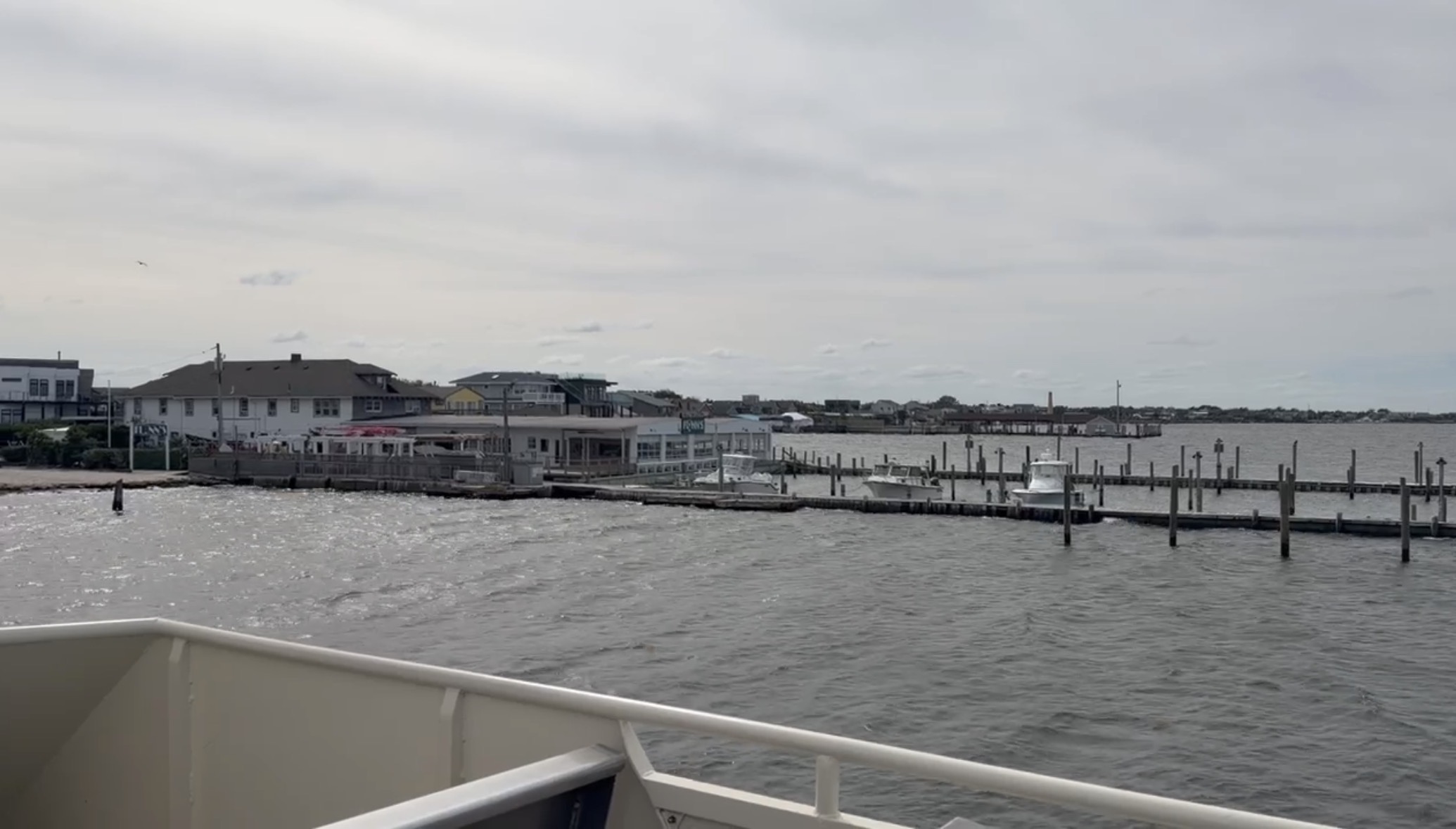
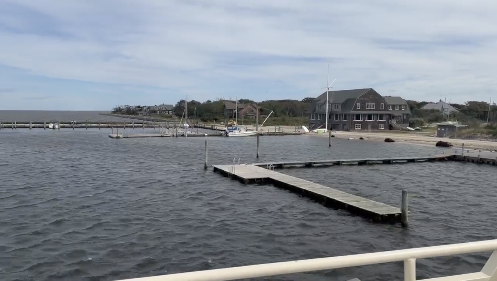
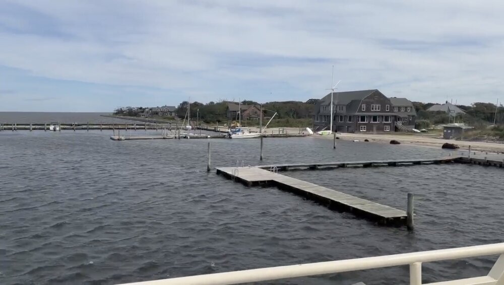
Current conditions at Ocean Bay Park on the Bay side of Fire Island. A fair amount of storm surge is already in place.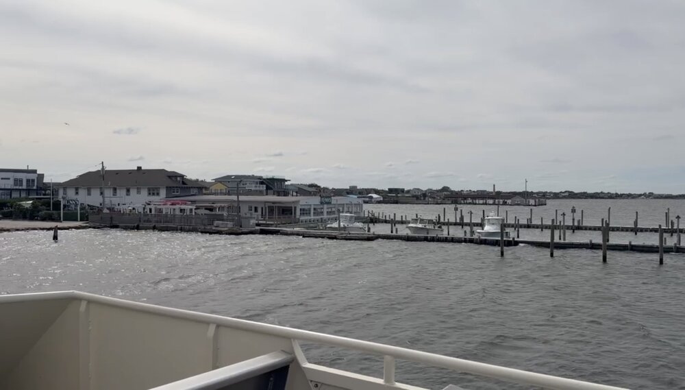
-
almost up to the boardwalk from what ive been sent.
-
Strong Nor'Easter/Hybrid Storm Late September 2026
wthrmn654 replied to Rjay's topic in New York City Metro
Like I been telling all my employees at work this week, storm or no storm, this is a great dry run for the winter season of big storms, and felt ready for erosion flooding, power outages, etc. And making sure all equipment is prepped working etc.. Same concept with this storm here, practice run for the winter. Gives us an idea of just craziness we might see, from nws, and deft from models. here's to a hopefully very cold, very snowy very stormy winter season with hopefully 5 blizzards! -

October Comes Early: Late September Multi-Hazard Hybrid Storm
Great Snow 1717 replied to WxWatcher007's topic in New England
During winter it would likely end up cutting over W NY...Curse of Methuen Meteorology Rule -
Strong Nor'Easter/Hybrid Storm Late September 2026
wthrmn654 replied to Rjay's topic in New York City Metro
Wind advisories are now up for boston nws zone from i think Hartford east. With winds advisories going that far west. I would guess either high wind warning (or watch knowing Upton) suffolk and advisories maybe Nassau County to nyc? Not sure about that part.. -
Oct 23rd for the Two Harbors area. My location is greatly affected by the Lake. The N side of town can get measurable snow while the shore gets slop that melts.
-
Strong Nor'Easter/Hybrid Storm Late September 2026
wthrmn654 replied to Rjay's topic in New York City Metro
If we were to combine all of them, might be a nuclear mutation of a storm -
October Comes Early: Late September Multi-Hazard Hybrid Storm
WxWatcher007 replied to WxWatcher007's topic in New England
Hartford CT-Tolland CT-Windham CT-Northern Worcester MA-Eastern Hampden MA-Northern Middlesex MA- Including the cities of Willimantic, Springfield, Ayer, Fitchburg, Vernon, Union, Hartford, Putnam, Windsor Locks, and Barre 146 PM EDT Thu Sep 24 2026 ...WIND ADVISORY IN EFFECT FROM NOON FRIDAY TO 2 AM EDT SUNDAY... * WHAT...Northeast winds 15 to 25 mph with gusts between 35 and 50 mph expected. * WHERE...In Connecticut, Hartford CT, Tolland CT, and Windham CT Counties. In Massachusetts, Northern Worcester MA, Northern Middlesex MA, and Eastern Hampden MA Counties. * WHEN...From noon Friday to 2 AM EDT Sunday. * IMPACTS...Gusty winds will blow around unsecured objects. Tree limbs could be blown down and a few power outages may result. * ADDITIONAL DETAILS...The long duration of the winds coupled with heavy rain and fully leafed trees may exacerbate the risk for tree damage and power outages.