NorthArlington101
-
Posts
12,435 -
Joined
-
Last visited
Content Type
Profiles
Blogs
Forums
American Weather
Media Demo
Store
Gallery
Everything posted by NorthArlington101
-
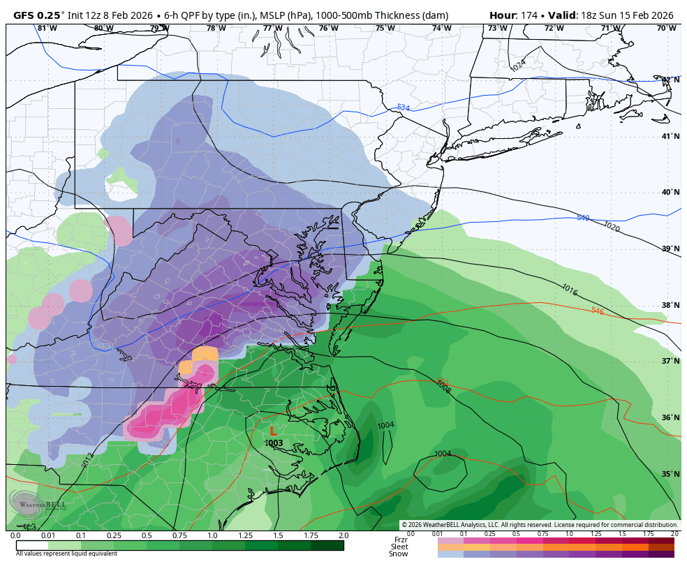
 GFS and ICON at range is an awesome combo. Just have to hope they both got some good news in the 12z data. Probably not
 -
Willing to blissfully ignore the surface temps at this range a little bit - not it’s specialty. Still not what you’d like to hear Edit: I’ll trust PSU
-
Have to dig into the thermals (hard) to see how much of that is sleet, but I’ve appreciated its general consistency for the period for sure. It’s the model I’d rather have on my side vs. anything else…
-
You only get heat when it’s a bad run. This is perfectly acceptable
-
Why are we ragging on a guy for failing to post an image properly? Not like he tried to give awful storm analysis
-
Reiterating my position from a month ago that having two long range threads is a miserable idea that will only serve to cause conflict and suck the life out of this board
-
Can’t believe the squall made it. I was lied to! Anything that fell yesterday must’ve been blown off my balcony because I can’t see it. Time to stay inside the rest of the day.
-
I only care if it’s gonna make it. Is it gonna make it? Do I set an alarm?
-
Hasn’t stopped snowing for about 90m in DC. Not sure we’ve added anything since the one moderate push but it’s stellar snow TV.
-
Grocery shopping. @bncho saved me
-
I’d probably call it .1” but I’ll see if DCA lets me be cheeky and reports .2”
-
Solidly SN in DC now.
-
Flurries at Union Station
-
Richmond got a WWA? We suck lol Expecting to at least see some flurries in a few minutes.
-
Man, I've got a lot to learn about beer. I hate paying more than $3/bottle right now if I'm just grabbing something from a grocery store.
-
Wow - that's definitely a different look from when we went together! That's wicked. Jealous.
-
Aggressive clouds
-
Throwing a flag for premature celebration
-
also every time I make an excuse for not going in this forum I am actually coping. Not happy that I booked my surgery for Aspen trip day. It's a 3-day trip so not worth a day late arrival. But it might as well snow if I can't go...
-
^ some of that is today but not much of it
-
Looks awesome at CHO! https://charlottesvilleinsider.com/downtown-charlottesville-webcam
-
If I was going it would be on the back of the big law gf... I'm happily headed down the @IronTy path.
-
by having a minor surgery on the day the flight would be! Aspen might have less real snow than DCA. Also I don't actually like skiing
-
Since when were you supposed to get snow for this threat? Taking our snow again