TSSN+
-
Posts
4,731 -
Joined
-
Last visited
Content Type
Profiles
Blogs
Forums
American Weather
Media Demo
Store
Gallery
Everything posted by TSSN+
-
Lovely

-
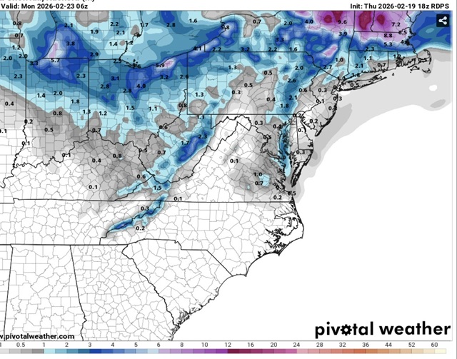
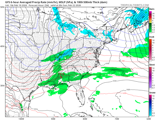
Ok let’s see where this goes

-
Looks pretty dang good to me
-
Better than 6z
-
USA gave all the other models bad data and only gfs got the right data so it can look good for once lol
-
We pretty much know what the cmc will look like from the Rgem
-
Probably won’t be as good, but cave? Idk
-
Sounds like your posting skills.
-
Cool thanks for the info
-
Yup keep on improving till game time
-
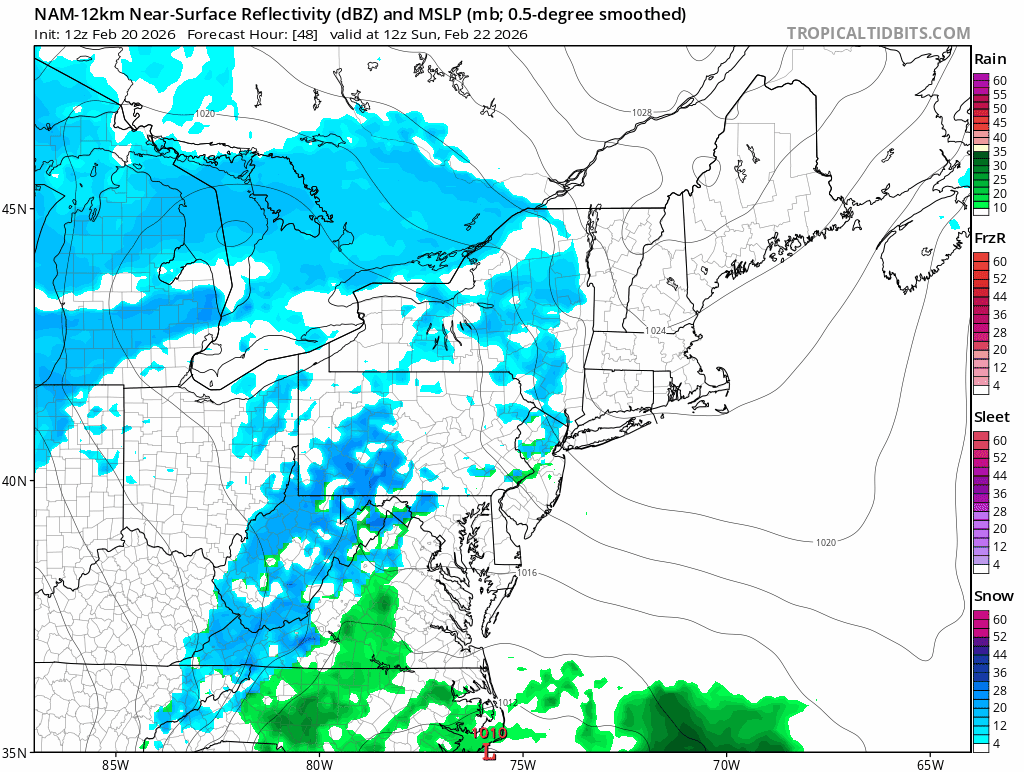
Nam at extended range just good to see it trending better
-
The sun is pretty strong at night
-
Why are you comparing hrrr at 48 to those? May as well compare hrrr at 48 to gfs at 384
-
Smoke
-
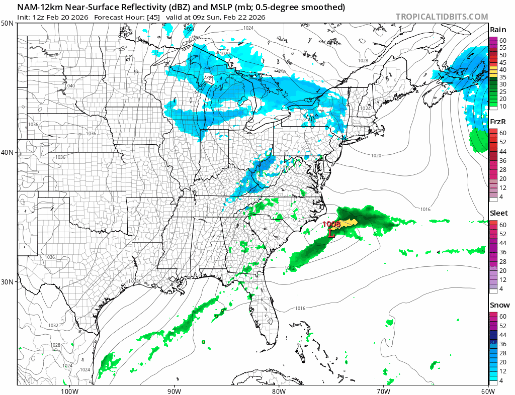
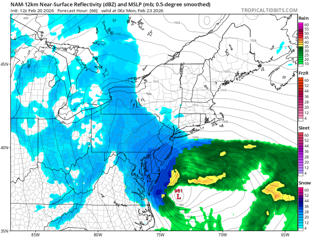
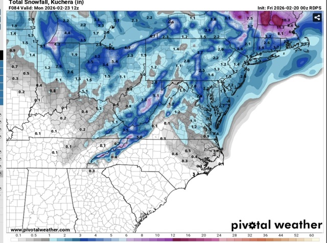
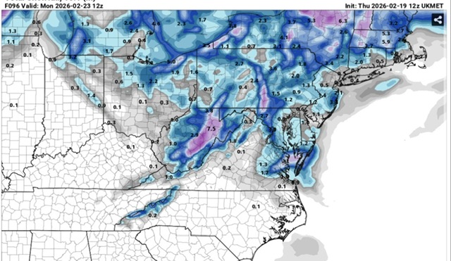
Seeing how most those models shifted east with the coastal ya makes sense but now they back it back west. Look at 12z ggem and icon to 18z
-
Here it comes!
-
Ya no cave here
-
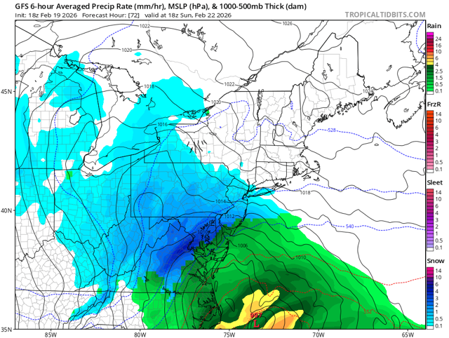
That’s when the models also had us in the coastal.
-
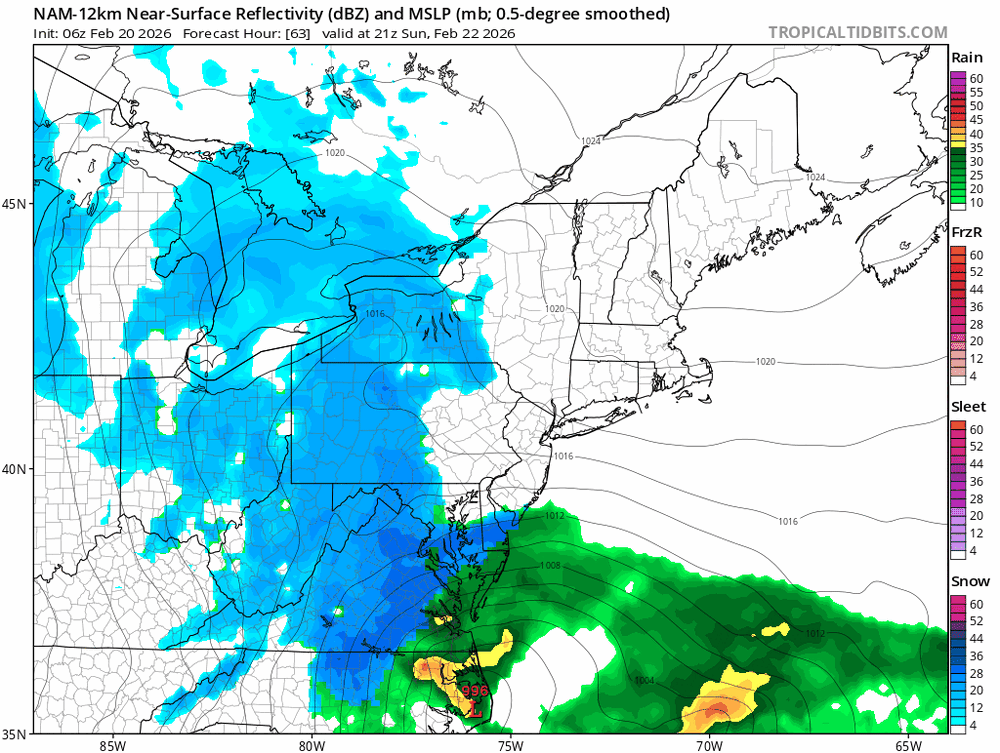
It’s been sitting basically over us for the last 24hrs haven’t seen that much of a move
-
Why? lol
-
F it I’ll take it
-
I wouldn’t say huge but last years 7” storm I got here it kept showing 1-3” even like 36hrs before the event
-
Ya that would be it this place would implode.
-
Could be worse
-
If the gfs was even close to being right I’d drive down to where they house it super computer and bow to its greatness.