NepaJames8602
-
Posts
449 -
Joined
-
Last visited
Content Type
Profiles
Blogs
Forums
American Weather
Media Demo
Store
Gallery
Everything posted by NepaJames8602
-
Hazardous Weather Outlook National Weather Service Binghamton NY 1109 AM EDT Fri Apr 11 2025 NYZ057-062-PAZ040-048-072-121515- Delaware-Sullivan-Northern Wayne-Pike-Southern Wayne- 1109 AM EDT Fri Apr 11 2025 This Hazardous Weather Outlook is for central New York and northeast Pennsylvania. .DAY ONE...This afternoon and tonight. Rain will change to a period of dense, wet snow overnight especially over the higher elevations. Several inches of wet snow accumulation will be possible across the higher terrain. .DAYS TWO THROUGH SEVEN...Saturday through Thursday. A period of wet snow will continue into the day on Saturday. Storm total accumulations of a few to several inches will be possible, especially across the higher elevations. .SPOTTER INFORMATION STATEMENT... Weather spotters are encouraged to report significant weather conditions according to Standard Operating Procedures. Please relay any information about severe weather to the NWS.
-
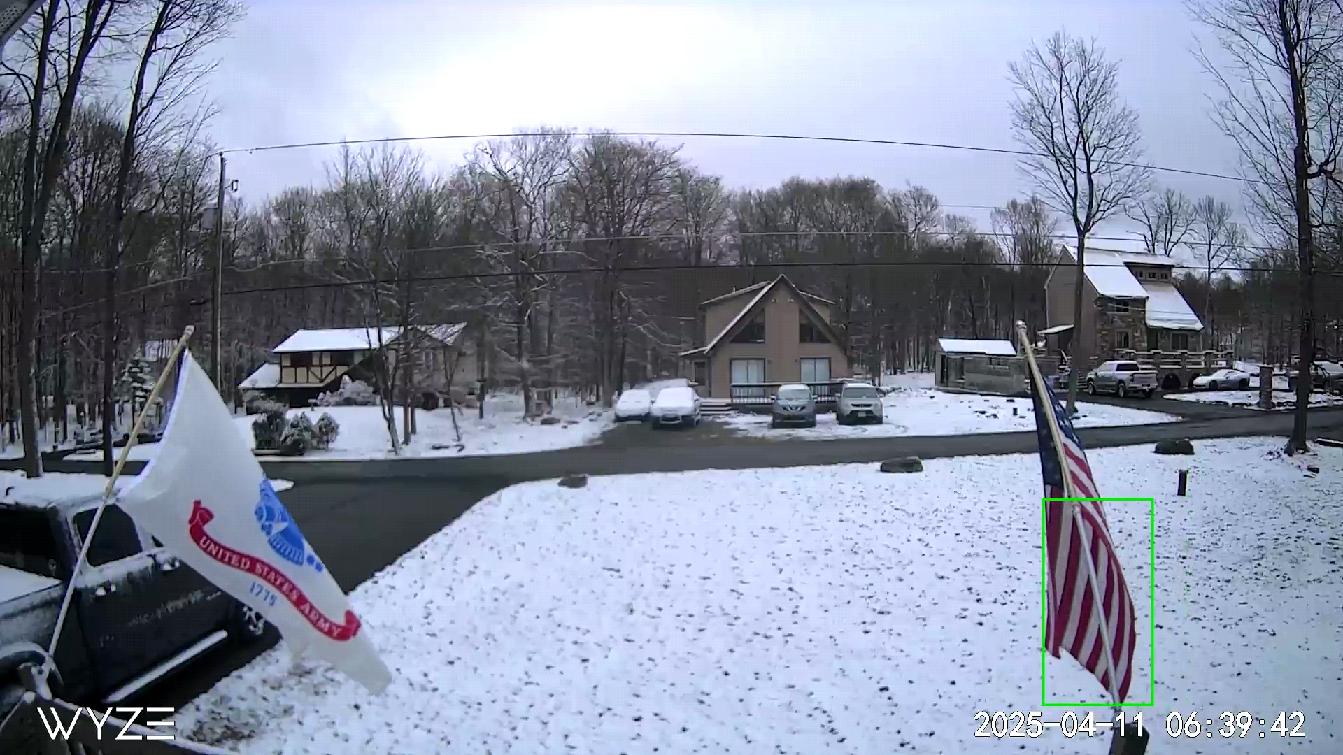
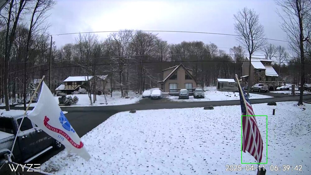
Pic from around 7 am this morning at 2,075'. Tonight looks interesting here in the Poconos above 2,000', especially the higher terrain of the Catskills.
-
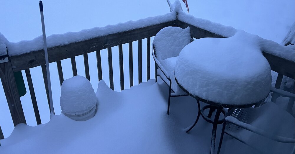
29 here with moderate snow in the Poconos. The grass and deck have about a half of an inch. Roads are completely wet at 2,075' elevation.
-
17 degrees when I left for work in the Poconos. Beautiful bright blue skies today.
-

Snowfall NYC subforum Jan 6 and OBS if needed
NepaJames8602 replied to wdrag's topic in New York City Metro
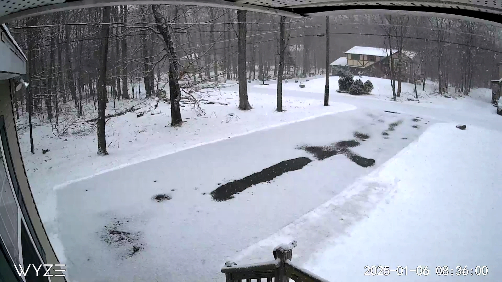
I'm east of Moscow, and 10 min north of Gouldsboro at 2,075' feet. I had about an inch of snow on the ground previously. Today was a coating on driveway so far, yes. Just surprised the dry air truly didn't eat today's snow here. Nice to see a small refresher. -
Snowfall NYC subforum Jan 6 and OBS if needed
NepaJames8602 replied to wdrag's topic in New York City Metro
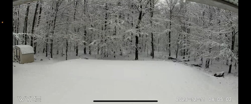
I'm 30 min north of Mt. Pocono. Im at work, but this is my Webcam at home right now. Today's new snow is on driveway. Surprised its snowing like that honestly, that far north.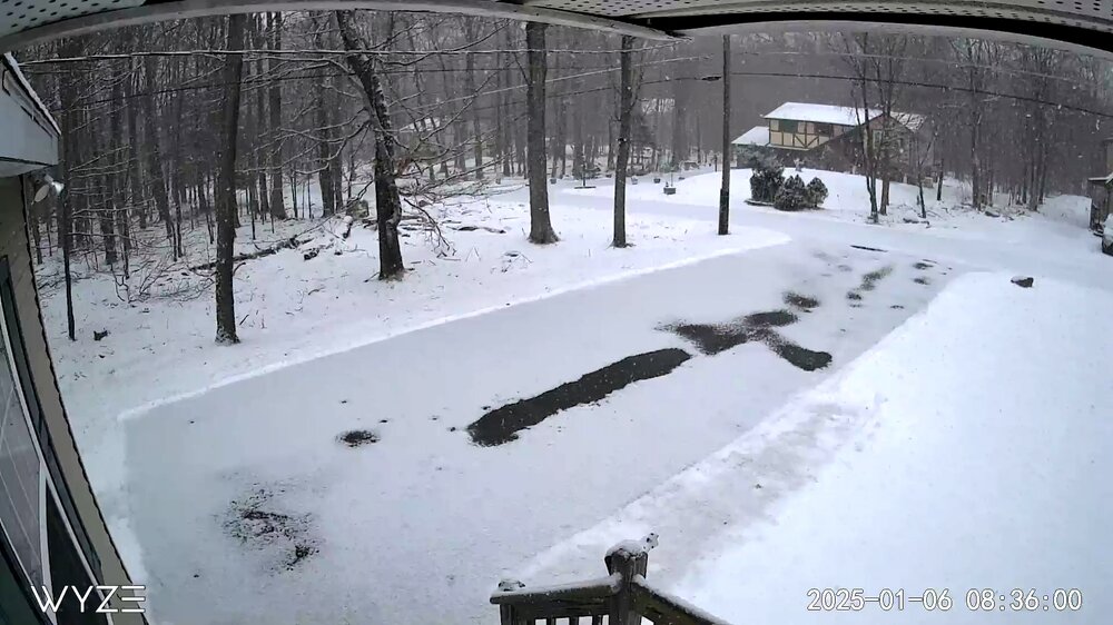
-
Central PA Winter 2024/2025
NepaJames8602 replied to Voyager's topic in Upstate New York/Pennsylvania
Slightly chilly night here in the Poconos. First goose egg of the year!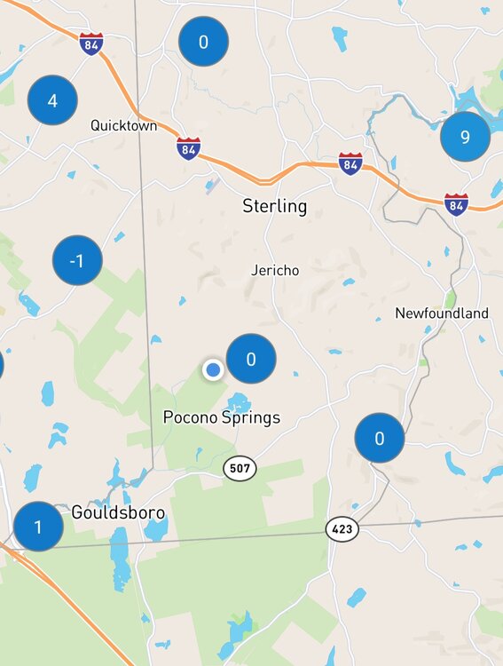
-
Awesome little event once again. Measuring right around 5.8" inches here in the Poconos of pure fluff.
-
Nice event this am here in the Poconos. Right about 4.0", enough to plow and make roads a mess.
-
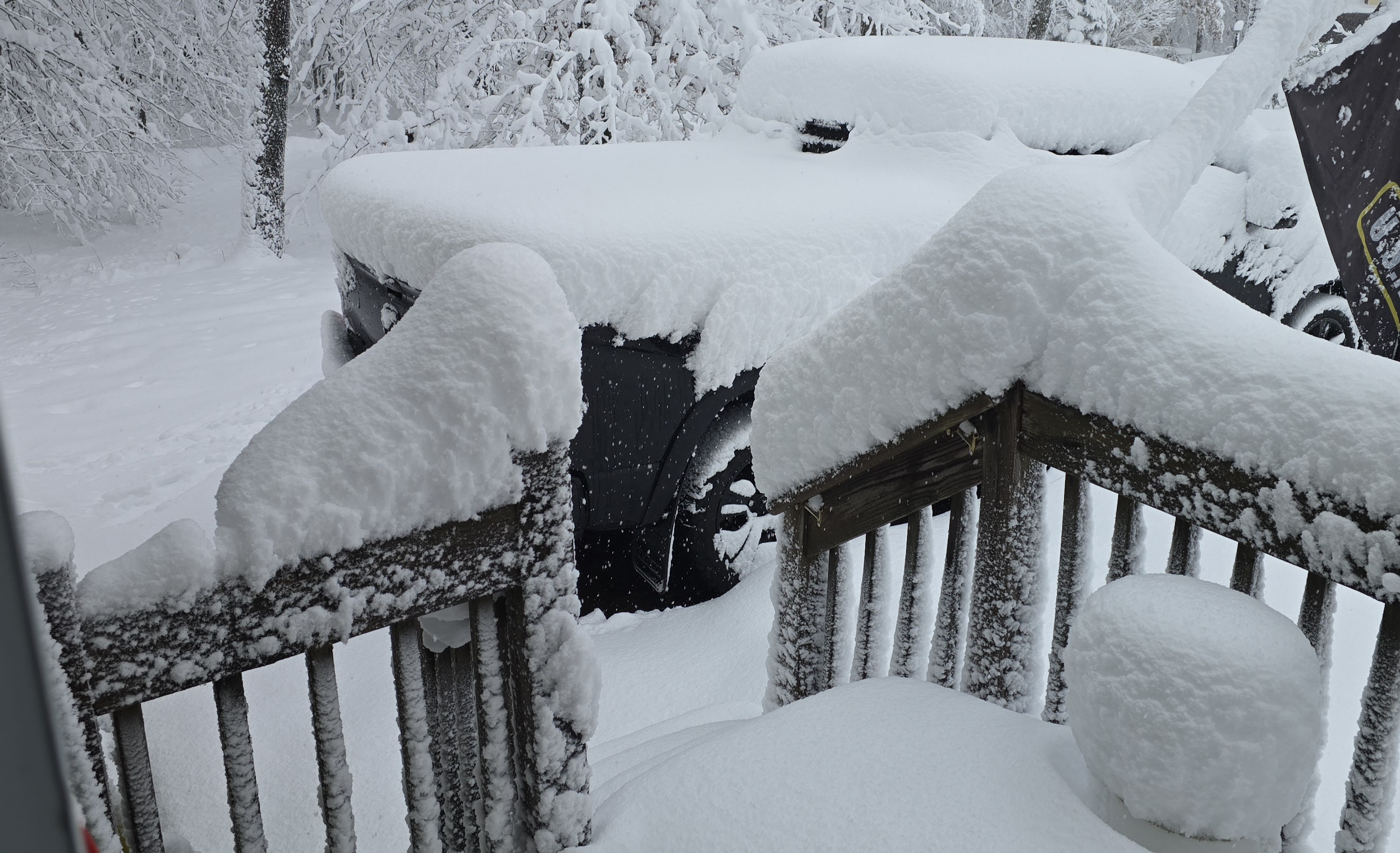
Good morning everyone. My house in the Poconos. Newfoundland Pa, Wayne county. Elevation 2,075' feet. Haven't measured, but I'd say a foot. Nice early season event. And holy crap at High Point NJ getting 20". I'm about 275' feet higher than them and didn't get that much. Must of had some great banding overnight!

-
Central PA Autumn 2024
NepaJames8602 replied to Itstrainingtime's topic in Upstate New York/Pennsylvania
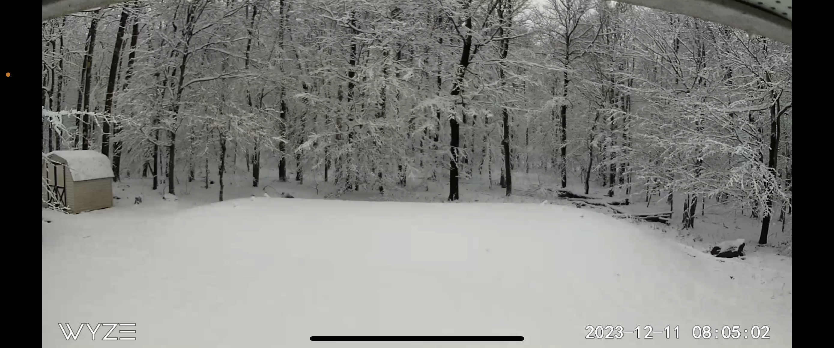
Good late morning everyone. My house in the Poconos. Newfoundland Pa, Wayne county. 2,075' elevation. Haven't measured, but I'd say atleast a foot. Its still snowing as well. Will measure and take more photos later. Nice early season event!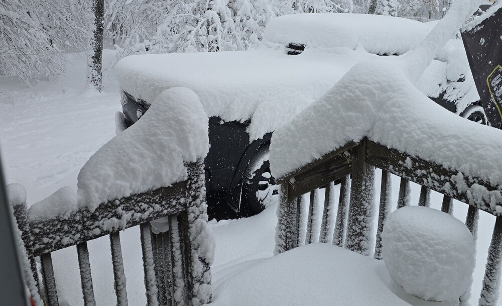
-
Central PA Autumn 2024
NepaJames8602 replied to Itstrainingtime's topic in Upstate New York/Pennsylvania
36 for a low here in my part of the Poconos. Love this weather, frost Advisory up for tonight. -
10.5” was the final here in my part of the Poconos. Newfoundland, Wayne county 2,075’. Just to my south and south west, I’m seeing reports of 12 to 14 inches. 20 to 30 miles to my north and northwest; its bare ground. What a cutoff with amounts and what a disaster of a storm to track.
-
10.5” inches final here in my part of the Poconos. I was actually shocked to wake up and see we got dumped on. Thought for sure this threat was dead after seeing the models slip south. Amounts ranging from 12 to 14” to my south and southwest in other areas of the Poconos as well. What a cutoff though, just to my north and nw; in a matter of 20 to 30 miles it goes down to absolutely nothing. What a headache of a storm and a disaster of model output, my god. Seasonal total now sits at 37.5”.
-
Went to bed worried about being missed completely here in my part of the Poconos. What a nightmare of a storm to track and follow. This isn’t an official measurement, but eyeballing roughly 10.0” inches. Will measure once it’s over. Location: Newfoundland Pa, Wayne county. 2,075’ elevation.
-
Nice little event here on the Pocono plateau at 2075’ feet. Had about 6” on the deck and about 4” on the driveway.
-
Ohh very cool, nice to see a poster relatively closeby! Yeah looks like a nowcast for us this evening!
-
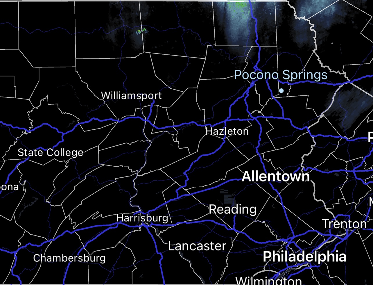
Hello, are you in the Clarks Summit area? I’m to your east/southeast near Newfoundland Pa, Wayne county. Really liking my spot on the northern Pocono Plateau at 2,075’ feet for this. Binghamton NWS has a WWA up for 3 to 5. This absolutely looks heavily elevation dependent, with elevations changing over first late this evening and obviously having the best opportunity to accumulate. Elk Mountain is always in a great spot, highest elevation in Nepa and great Latitude/Longitude as well!
-
The Ides of March end of Winter 2023
NepaJames8602 replied to paweather's topic in Upstate New York/Pennsylvania
Thank you! I’m actually a long term lurker of this regional forum, however I typically post in the Nyc Interior thread given my proximity to that location. I’ll try to drop in here more often. I’m Located in Newfoundland, Pa in Wayne county. The Pocono Springs pin, is my actual location in the Poconos. Roughly 30 min due north of Mt. Pocono. And today was this winters largest snowfall for me. All in all, absolutely pathetic season for everyone. This storm has put me at around 43” inches for the season, so I’ve made up some ground the past two weeks. But it’s still far behind the typical average snowfall for the higher elevations of the Poconos, which range from 60” to 70” inches a season here once you’re at and above 2,000’ feet.
-
The Ides of March end of Winter 2023
NepaJames8602 replied to paweather's topic in Upstate New York/Pennsylvania
Yup, had a solid 9” to 10” inches here at my location on the northwestern edge of the Pocono Plateau. I measured around 7pm, I’m just shy of 2,100’ feet. Still have bouts of light to moderate snow ongoing as well. So another quick inch or two is still possible to reach a foot in areas. However, this event was highly elevation dependent up this way. My buddy in Scranton barely had 3.0” inches. I took a drive 7 miles from my house down at 1300’ feet, and they had 4” or 5” inches tops. -
6pm update for here in the Poconos, 9.0” and moderate snow continues.
-
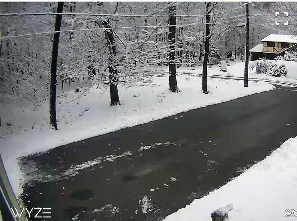
Yeah for sure a couple inches, intensity isn’t as extreme as to the north. Penndot can actually keep up with it lol.
-
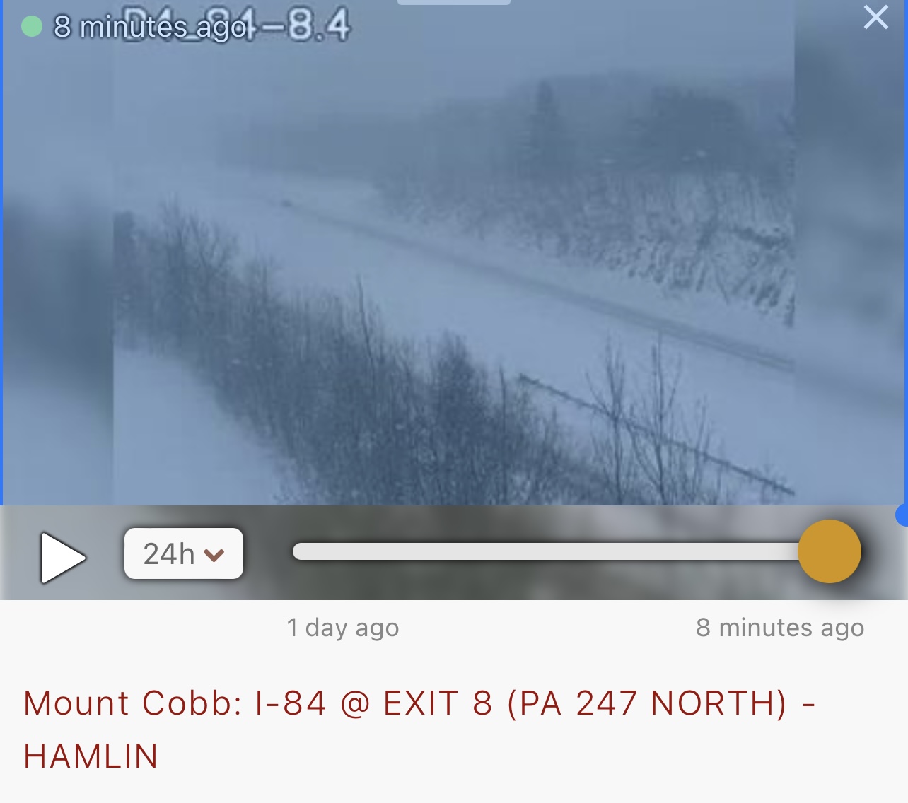
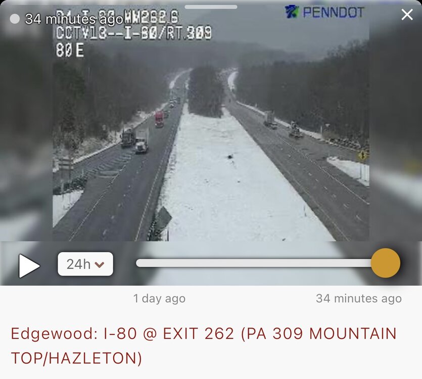
I found this Cam, this is close to where 81 and 80 meet! This was about 30 min ago.
-
Honestly, it’s a snow hole in general, but I gotta laugh at the bare ground down there. I’m literally 50 min northwest of them and basically live on a different planet lol.
-
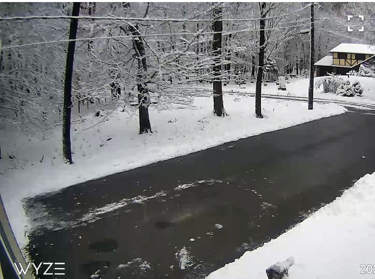
I-84 Mt. Cobb Pa, Exit 8. The elevation at this location is roughly 1800’. Safe to say roads are a disaster lol.