NepaJames8602
-
Posts
449 -
Joined
-
Last visited
Content Type
Profiles
Blogs
Forums
American Weather
Media Demo
Store
Gallery
Everything posted by NepaJames8602
-

Central PA Summer 2026 Discussion/Obs Thread
NepaJames8602 replied to Voyager's topic in Upstate New York/Pennsylvania
48 here this am in the Poconos, Beautiful. Nothing beats natural a.c. -
Central PA Summer 2026 Discussion/Obs Thread
NepaJames8602 replied to Voyager's topic in Upstate New York/Pennsylvania
A delightful 43 here this am. -
Central PA Summer 2026 Discussion/Obs Thread
NepaJames8602 replied to Voyager's topic in Upstate New York/Pennsylvania
Absolutely, any chance I get to air the house out with fresh air, I take it. You Absolutely sleep better too! -
Central PA Summer 2026 Discussion/Obs Thread
NepaJames8602 replied to Voyager's topic in Upstate New York/Pennsylvania
43 this morning. Another great night sleep, with windows open. Natural a.c, can't beat it. -
Central PA Spring 2026 Discussion/Obs Thread
NepaJames8602 replied to Voyager's topic in Upstate New York/Pennsylvania
As a cold/cool weather lover this is heaven. Hold that heat off as long as possible! -
Central PA Spring 2026 Discussion/Obs Thread
NepaJames8602 replied to Voyager's topic in Upstate New York/Pennsylvania
Not a drop in Nepa today, sunny skies and quite warm. Highs around 80. Enjoy the much needed rains to the south! -
Central PA Spring 2026 Discussion/Obs Thread
NepaJames8602 replied to Voyager's topic in Upstate New York/Pennsylvania
Sitting at 45 degrees and light rain continues. Quite the nice Soaker up here in the Poconos. 1.30" since it begun. -
Central PA Spring 2026 Discussion/Obs Thread
NepaJames8602 replied to Voyager's topic in Upstate New York/Pennsylvania
Sitting at 42 degrees all day here with moderate rain. My house dropped into the 50s early this am. Had to kick heat on temporarily lol. .40 of rain so far. -
Central PA Spring 2026 Discussion/Obs Thread
NepaJames8602 replied to Voyager's topic in Upstate New York/Pennsylvania
41 degrees and rain here in the Poconos. Is it November? Lol. -
Central PA Spring 2026 Discussion/Obs Thread
NepaJames8602 replied to Voyager's topic in Upstate New York/Pennsylvania
Looks like we continue the theme of drying out every event, as it gets closer... -
Central PA Spring 2026 Discussion/Obs Thread
NepaJames8602 replied to Voyager's topic in Upstate New York/Pennsylvania
After a high of 80 around 1 pm here in the Poconos. The front has certainly cleared, moderate to heavy rains have commenced. Picked up .25 so far and the temperature has dropped to 56. After the last few days, it feels amazing outside! -
Central PA Spring 2026 Discussion/Obs Thread
NepaJames8602 replied to Voyager's topic in Upstate New York/Pennsylvania
After spending many years in the Army in full combat gear in the hottest places imaginable. Then getting out in my late 20's, and doing construction with zero shade during the peak of summer. I could careless to see another heat wave in my life lol. We all have our likes and dislikes though, me personally; although I love snow and cold..I could live with 65 and no humidity year round! Heat I mentally and physically can no longer do. I become downright miserable in it. -
Central PA Spring 2026 Discussion/Obs Thread
NepaJames8602 replied to Voyager's topic in Upstate New York/Pennsylvania
Agreed, not sure how anyone "sane" can say that's enjoyable.. but.... To each their own lol. -
Central PA Spring 2026 Discussion/Obs Thread
NepaJames8602 replied to Voyager's topic in Upstate New York/Pennsylvania
Already looking forward to this weekends cool down, when you can actually go outside and not melt. Hopefully we get some good rains! -
Central PA Spring 2026 Discussion/Obs Thread
NepaJames8602 replied to Voyager's topic in Upstate New York/Pennsylvania
87 was the high here at 2075' at my location in the Poconos. Mt. Pocono reported 88 for a high at 1800'. This is one of the reasons I love living on the Pocono Plateau. It takes a very hot airmass and record ridge, to typically spike 90 here. Very seldom have I seen 90 or greater. In other news, absolutely incredible; the heat of today and tomorrow vs. this coming weekend's forecast. Binghamton Nws calling for highs in the 50's and rain up here. Talk about shock factor! The roller coaster continues.. -
Central PA Spring 2026 Discussion/Obs Thread
NepaJames8602 replied to Voyager's topic in Upstate New York/Pennsylvania
.40 rain last night, 35 degrees at 6 am. Low 30s tonight. -
Central PA Spring 2026 Discussion/Obs Thread
NepaJames8602 replied to Voyager's topic in Upstate New York/Pennsylvania
Low of 34 this am. With another frost/freeze possible Saturday night up here. I had .60" of rain with the Wed rainfall. Looks like another .25 possible tonight. There is no drought conditions in my location, but just to my east is in moderate conditions. So we absolutely need more rain. Especially as we head into summer. I know a lot of folks are hating this pattern. I for one, am loving it! This time of year, these temps aren't brutal where you can't handle it. 5 to 15 degrees below average; is manageable when the average high is near 70 for most locations. Im all for holding off those extreme summer temps as long as possible. The inevitable death ridges will be upon us soon enough, for months on end. Then we will be begging for relief. :). -
Central PA Spring 2026 Discussion/Obs Thread
NepaJames8602 replied to Voyager's topic in Upstate New York/Pennsylvania
1.30" event total here. Nice soaking! Never did see flakes, but it was in the low 30s. Still sitting at 37. -
Central PA Spring 2026 Discussion/Obs Thread
NepaJames8602 replied to Voyager's topic in Upstate New York/Pennsylvania
1.0" of new rainfall today so far, with a raw and cold temperature of 36 degrees at 4pm here. Binghamton Nws is still going with a rain/snow mix after 10 pm tonight here. -
Central PA Spring 2026 Discussion/Obs Thread
NepaJames8602 replied to Voyager's topic in Upstate New York/Pennsylvania
Snow is back in the grids here in the Poconos Sat night LOL. Saturday Night Rain and snow showers before 4am, then a chance of snow showers. Low around 33. East wind around 10 mph, with gusts as high as 21 mph. Chance of precipitation is 80%. Little or no snow accumulation expected. Sunday A chance of snow showers before 7am, then a chance of rain and snow showers between 7am and 8am, then a chance of rain showers after 8am. Partly sunny, with a high near 51. Northeast wind around 10 mph, with gusts as high as 20 mph. Chance of precipitation is 30%. -
Central PA Spring 2026 Discussion/Obs Thread
NepaJames8602 replied to Voyager's topic in Upstate New York/Pennsylvania
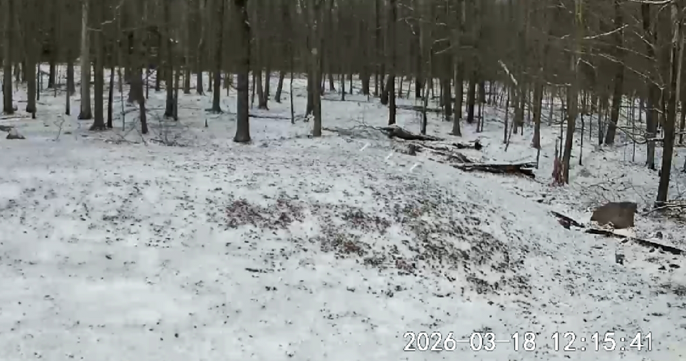
Woke up to another coating of snow and 30 degrees this am. Tonight's forecasted low is 21. -
Central PA Spring 2026 Discussion/Obs Thread
NepaJames8602 replied to Voyager's topic in Upstate New York/Pennsylvania
Rain has changed to snow here in the Poconos. Temp is slowly dropping and down to 34 here this am. -
Central PA Spring 2026 Discussion/Obs Thread
NepaJames8602 replied to Voyager's topic in Upstate New York/Pennsylvania
Woke up to 28 degrees and a minor dusting of snow in my part of the Poconos this am. -
Central PA Spring 2026 Discussion/Obs Thread
NepaJames8602 replied to Voyager's topic in Upstate New York/Pennsylvania
Finally out of the drought here in my part of the Poconos. Received about .50" of rain last night with the front. Hopeful the rest of Pa can continue beating away at the drought conditions in coming weeks. -
Central PA Spring 2026 Discussion/Obs Thread
NepaJames8602 replied to Voyager's topic in Upstate New York/Pennsylvania
It was 12 degrees at 530 am when I left for work. Had a fresh cover of les last night here in the Poconos as well. As of quarter after noon, it still hasn't melted off, with temps hanging in low 20's.