hudsonvalley21
-
Posts
4,277 -
Joined
-
Last visited
Content Type
Profiles
Blogs
Forums
American Weather
Media Demo
Store
Gallery
Everything posted by hudsonvalley21
-
Congratulations and best wishes for your family!
-
May 2024 Discussion - Welcome to Severe Season!!!!
hudsonvalley21 replied to weatherwiz's topic in New England
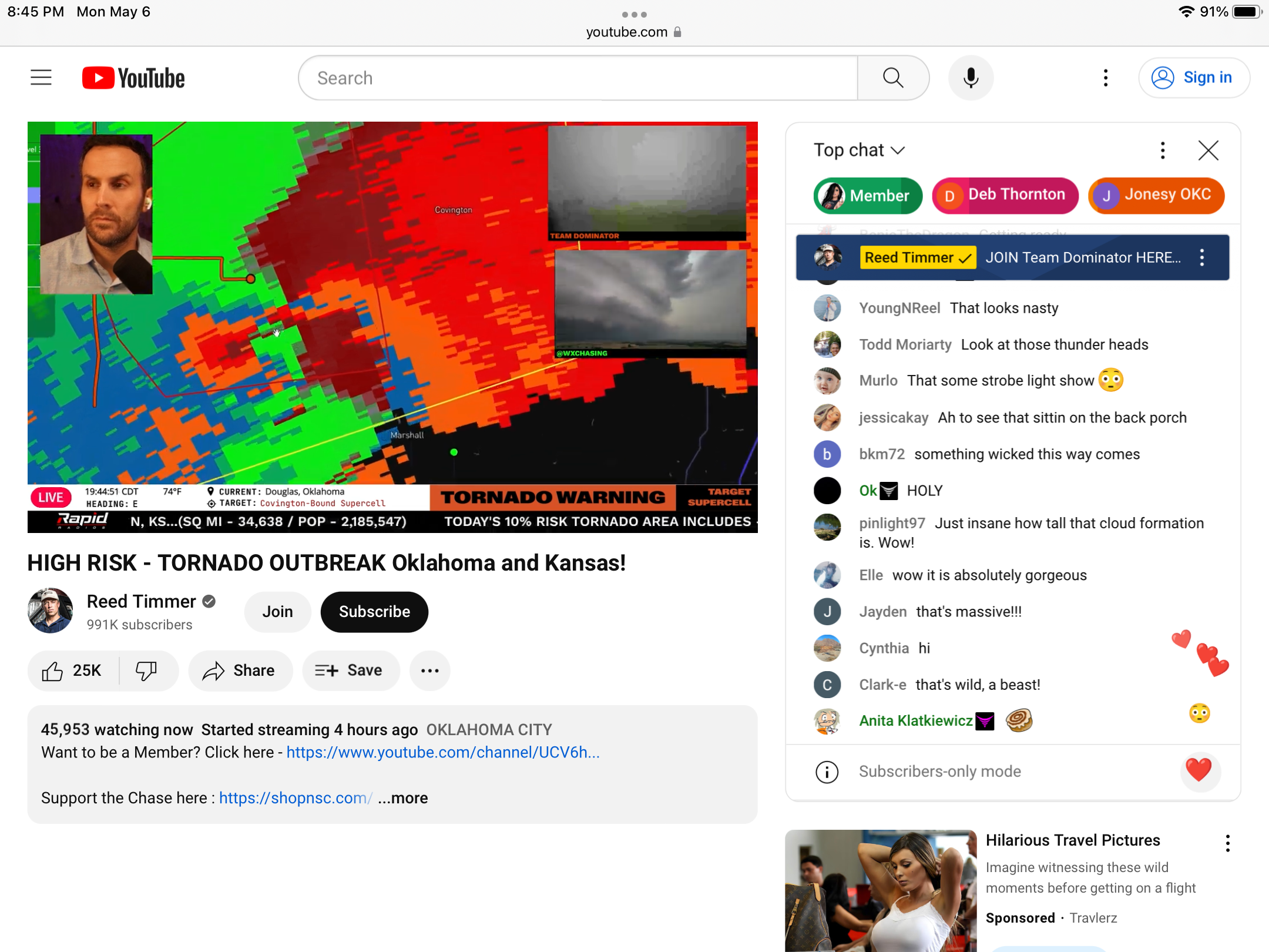
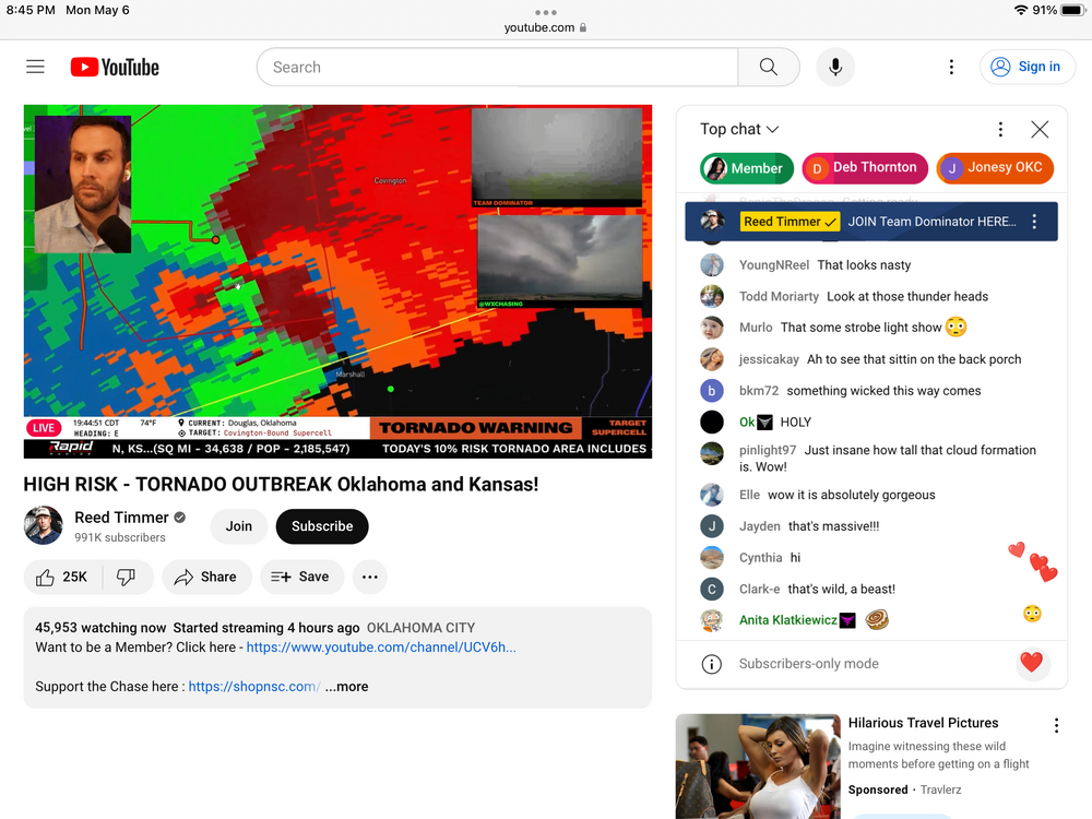
Here is a YouTube live storm chasing site
-
Severe Weather 5-6 through 5-9-24
hudsonvalley21 replied to cheese007's topic in Central/Western States
-
May 2024 temperature forecast contest
hudsonvalley21 replied to Roger Smith's topic in Weather Forecasting and Discussion
DCA _ NYC _ BOS __ ORD _ ATL _ IAH __ DEN _ PHX _ SEA 0.9 1.0 1.8 2.2 1.3 1.4 0.8 0.3 1.2 -
33 for the low here. Point n click forecast is for a low of 32 for tonight.
-
33 for the low here. Point n click forecast is for a low of 32 for tonight.
-
Have a great time on your sortie.
-
Hopefully not too much damage.
-
Felt it up here in the Hudson valley, Must have felt it for being close to the ramapo fault line.
-
DCA: +3.1NYC: +4.2BOS: +4.1ORD: +3.2ATL: +2.1IAH: +2.6DEN: +2.7PHX: +2.3SEA: +2.9
-
2.77” is the total here.
-
35 degrees here currently. 0.95” in the Davis so far. No ice accretion on any surfaces here at 125’ in elevation.
-
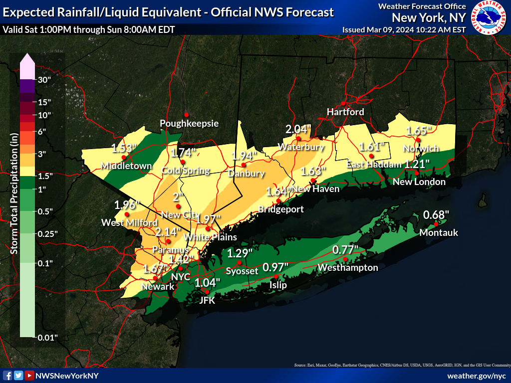
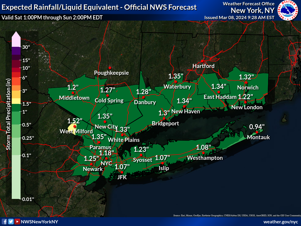
Upton bumped up their latest QPF map.

-
It’s 10 days out, you never know. A broken clock is right twice a day.
-
12z NAM and gfs are trending wetter vs the 06z runs.

-
Thanks much. February is fine without the accurate info. Over 21” so far in 6 months with the rest of March to go. Only could imagine if we had a colder airmass what the frozen totals would have been for the last 3 months.
-
It’s like a sponge out there. Went to the angry orchard last Sunday before this weeks rain and it was sloppy then. Was wondering if you have the monthly precip totals since October. Can’t remember when I had to drain the pool so many times vs. years before.
-
Enjoy! Have a beverage for me

-
51 here. Sun is breaking thru the thinning cloud deck. 1.31” in the Davis with the latest event.
-
A couple of runs in a row. You never know Long way to go tho.

-
March 2024 temperature forecast contest
hudsonvalley21 replied to Roger Smith's topic in Weather Forecasting and Discussion
For wxdude64 He posted this in the February thread. Posting for March, just in case I can't 'computer' in a couple days lol IF I can, may update before cutoff. Thanks DCA: +0.8 NYC: +1.4 BOS: +1.7 ORD: +0.9 ATL: -0.4 IAH: -0.5 DEN: -0.3 PHX: -0.8 SEA: +1.6 -
Strongly agree.
-
March 2024 temperature forecast contest
hudsonvalley21 replied to Roger Smith's topic in Weather Forecasting and Discussion
DCA: +2.7NYC: +2.9BOS: +2.5ORD: +2.7ATL: +1.3IAH: +1.6DEN: +0.9PHX: +0.1SEA: +0.3 -
It was a Flop... February 2024 Disco. Thread
hudsonvalley21 replied to Prismshine Productions's topic in New England

-
12.2” here.