HIPPYVALLEY
-
Posts
32,932 -
Joined
-
Last visited
Content Type
Profiles
Blogs
Forums
American Weather
Media Demo
Store
Gallery
Everything posted by HIPPYVALLEY
-
Have the Boston news on and Harvey’s 10 day forecast looks pretty sweet.
-
Snow, burying, I see what you did there!
-
We Mid-Atlantic our way through winter.
-
I am looking forward to one or two more outdoor dining experiences with the family this weekend.
-
They generate so much revenue inside the lodges and that will be the bitter financial pill for them to swallow this winter.
-
Graupel shower moving through. 35/31 i’m looking forward to Thursday and beyond for a little bit of late season warmth.
-
Hmmm, roof of the car and mailbox are covered in ice. I wonder if we had freezing rain here early a.m. or if it was graupel/snow that melted on contact and refroze?
-
Ha, what did I miss? I woke up to clear skies an hour ago.
-
Come on man, you know nothing exists W of Worcester as far as the all Eastern Ma crowd is concerned. Baystate Franklin in Greenfield currently has zero patients with Covid.
-
The wind lifted and flipped an 8’ long piece of sheet metal off my woodpile!
-
Liquor stores have to stop selling at 9:30 PM!
-
No surprise I guess.
-
Mowvember!
-
The potential of the looming global economic crisis is beyond what most people can psychologically handle. The derivatives markets alone are economic suicide. Faith based, fiat currencies, have a shelf life and the petro-dollar collapse is imminent. Not trying to be a downer, just my 2 cents.
-
it's an impressive push of heat as modeled.
-
Had .10" rain here. Missed the gust front. Didn't hear any wind and no anemometer set up right now.
-
Very much looking forward to it for the extreme meteorological aspect and the actual warm temperatures.
-
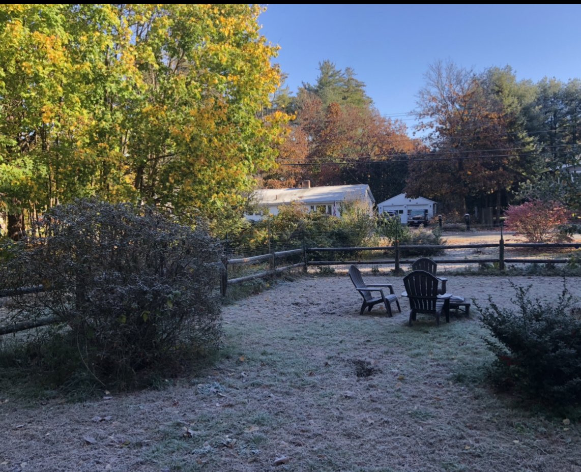
Well today has worked out well. Had a good friend down from New Hampshire, who we have not seen in months, for an outdoor visit. chilly but we are sitting around the fire and not a drop of rain so far! 48/42 Overcast.
-
Beautiful afternoon! 45° and bright blues. Getting yardwork done has more than made up for the lack of snow here.
-
It was a bit surreal doing a late night dog walk last night and listening to the sound of frozen leaves hitting the ground. It was like this new sound that I had never heard before.
-
I think most people would gladly take a sunny and 70 November day.
-
We go AN by the end of the week.
-
I believe last year Flu shot was only about 48% effective.
-
We bare here. I’m actually going to leaf blow this afternoon. In retrospect, having no snow on the ground will make trick or treating a lot more pleasant tonight.

-
I thought he was in Southborough