
.png.5608f5bab30d37cac5ee5443be92fc2f.png)
HIPPYVALLEY
-
Posts
29,420 -
Joined
-
Last visited
Content Type
Profiles
Blogs
Forums
American Weather
Media Demo
Store
Gallery
Posts posted by HIPPYVALLEY
-
-
1 hour ago, tamarack said:
Lower elevation than the Presidentials but seen from the south, with no serious peaks in the way, I think it's the most impressive peak east of the Rockies
Carrabassett Valley area is pretty amazing too. The Bigelows, especially when viewed from the N (Flagstaff Lake) are quite impressive.
-
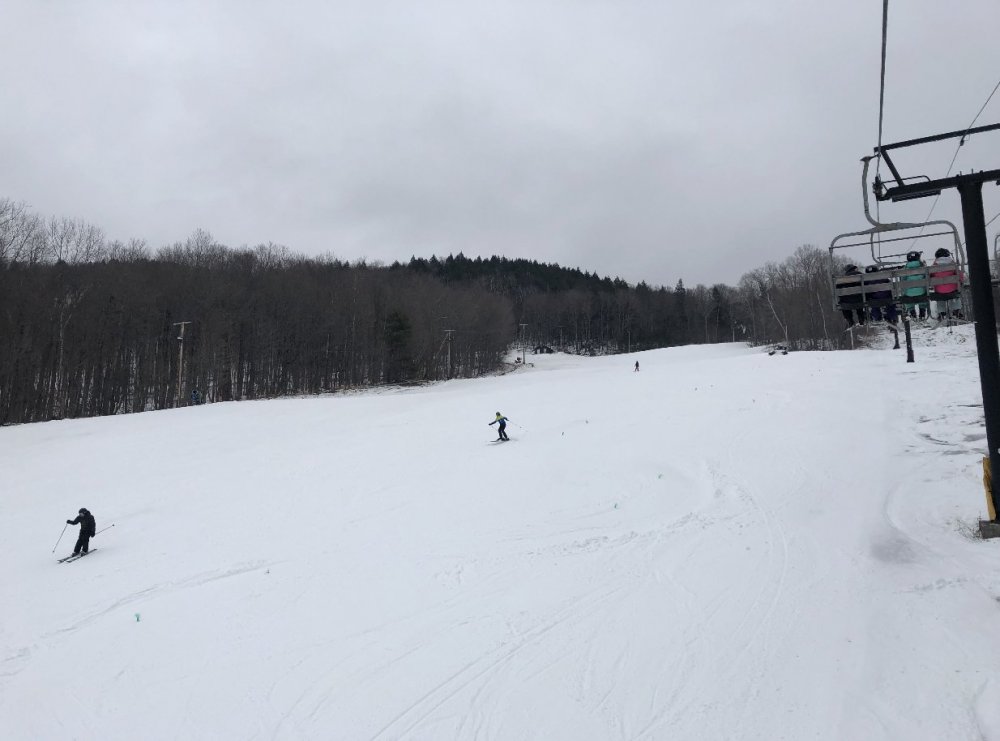
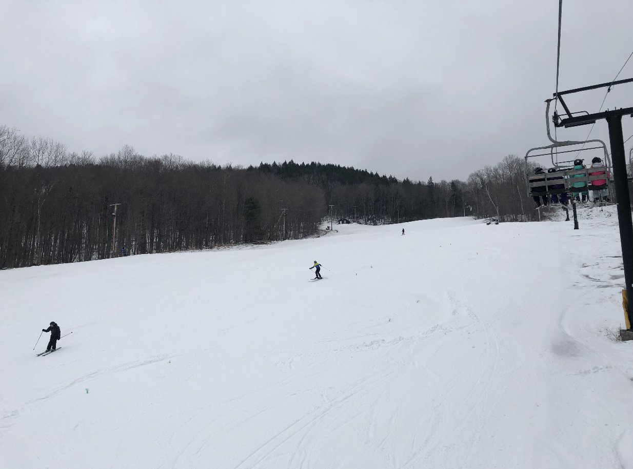
Another quiet Saturday at Berkshire East. Snow was great!
-
 2
2
-
-
36 minutes ago, RUNNAWAYICEBERG said:
Yea. Hopefully it snaps back our way to save the tail end but that also would mean a cool/damp start to spring.
Almost a given I would say.
-
1 hour ago, HoarfrostHubb said:
At this point I am agreeing with you. Hopefully it changes a bit
Lol, you have some of the highest totals in NE this year and if it snows anywhere in SNE/CNE in this pattern it will be in your ‘hood.
-
20 minutes ago, Juliancolton said:
Through the end of March is definitely valid at his latitude. Even down here in the valley, March or April was the snowiest month in four of the last seven winters. It's always possible we shut it down for good in short order, but if you could only reference climo, it wouldn't be a stretch at all to allow for at least 8 more weeks in the interior.
#marchiswinter
-
1
-
-
I’m about 18-20” from average seasonal totals and feel like that is quite doable with a solid 8 weeks of winter ahead.
-
This thread has gone full.


-
Little bit late on a school night but just took the boy and dog for a nice hike deep in the woods. Plenty of moonlight reflecting off the snow, crisp cold air, coyotes yelping in the distance.
Enjoy what you got cuz’ you can’t change the weather.
-
2
-
 1
1
-
-
56 minutes ago, CoastalWx said:
Crack is bad, kehd.
Jimmy crack porn and Euro don’t care?
-
31 minutes ago, 40/70 Benchmark said:
I think he lost the list.
I still want to see the northern SW onshore, but not taking any names lol
This will be mildly interesting until tomorrow night when it either goes 20 new pages or non-event and crickets outside of Atlantic Canada. Fast flow with lots of s/w energy packets will be good fodder for the next few weeks. Lame January but winter has 8 more weeks in much of NE.

-
4 minutes ago, 40/70 Benchmark said:
I would still take this over 33 and rain with a blizzard in Albany.
I'd gamble with an Albany blizzard. Lol. But yeah, as we get later in winter just give me nice WX if it ain't gonna' snow.
-
38 minutes ago, Damage In Tolland said:
It’s always trends northwest
Well yeah, tenor of the winter etc but maybe not this time? I’m still optimistic that we all snow a bit.
-
Gonna’ be interesting model watching at least through tomorrow.
-
2 hours ago, Damage In Tolland said:
Just wait. When this thing comes in full beast . I’ve been collecting names
I’m hoping you get to bump troll for hours Saturday morning!
At least models are keeping this mildly interesting. 12z Thursday is my show me the $ deadline.
-
1
-
-
5 minutes ago, USCAPEWEATHERAF said:
The ridging out west is getting better on the models. 00z CMC/GFS combo were much better at H5 then previous runs, the northern stream really dives in, but is still six hours too late for SNE, while Nova Scotia gets blasted. The 00z CMC deepens rapidly once it reaches the Coast of North Carolina. I believe the track becomes defined within 25 miles west or east of 35N/75W to 40N/70W to 42N/68W
Fast flow with lots of moving pieces of energy. This storm can still ride up and in (which wouldn't surprise me) as well as ots. Being in Greenfield I would love if you rained! lol
but good luck with the snow b/c you have seen almost none and I hope you get to revel in a Cape Scrape this year.
-
Tomorrow night’s model runs will be the acid test. I’m not convinced this doesn’t come in closer if it actually manifests as a sub 990L
-
5 minutes ago, Baroclinic Zone said:
 Been too busy and boring to warrant them.
00z NAM has a pretty good look at 84hr. Not a classic set up but could be enough to clip the area.
I won’t be surprised if in the next 24 to 36 hours we see a few models show sizesble jumps NW before we get the final solution which is likely a niice advisory event for E SNE.
I’m not ruling anything out until this time tomorrow.
-
36 minutes ago, Baroclinic Zone said:
Thanks Will. My thoughts on a “Miller B” type storm started yesterday when we started seeing the s/w over the SW digging to Tijuana and the northern stream started coming in stronger and more amplified. I’m using the Euro for my thoughts as I feel the GFS and GGEM are useless in complex phasing patterns with multiple short waves. The UKie has been pretty steadfast in a western outlier track compared to others. The last piece falling into place was the euro tendency to lose s/w into the SW. I felt that at some point we would either see the euro trend towards the GFS in keeping this s/w more progressive but the opposite has happened. It’s dug further and further S and W. These are the things I’ll be keying on in further runs as we get closer. This can still go either way but my confidence in a storm offshore of us has increased today. I do think we see the GFS latch on to the strength of the northern stream in upcoming runs and I’d watch to see if that energy in the SW trend more progressive.
ramble done

It’s good to see you throwin’ down some lengthy WX posts again!
#KnowledgeableLurker
")
-
What is so haplessly aggravating about all is is that, outside of the most favored upslope areas the atmosphere is finding ways to pork all of New England in the heart of winter.
-
1
-
-
25 minutes ago, 40/70 Benchmark said:
The energy out west is crashing the PNA ridging faster, too.
This could easily be 1-2” for James and nada W of CC. Tomorrow we get a much better read on the sampling. I’m all in 0z tonight through 0z tomorrow for foe or friend trends.
-
1 minute ago, RUNNAWAYICEBERG said:
What setup...it’s real dicey. se zones favored. Maybe some snow to the NY border if all the sw’s can cooperate but in a progressive flow, doubt it.
Yes and story of the winter the further SW your latitude is.
-
25 minutes ago, STILL N OF PIKE said:
Just need another few hundred mile burp
Well, we certainly had one last week. Unfortunately the atmospheric flatulence with this one could swing it the wrong direction.
-
5 minutes ago, dryslot said:
-Nao and raw ENE winds with sheet drizzle.
Those are the days I am happy to be 100 miles inland in a valley and 20° warmer than Boston.
-
1
-
-
Just now, dendrite said:
Don't worry. The cold will be there for April and May.
As Will the blocking!
Winter 2020 New England Banter and General Obs
in New England
Posted
Didn't there used to be a ski area up by Moosehead Lake?